surveying. background surveying is a necessary step in any construction, water pattern analysis or...
TRANSCRIPT
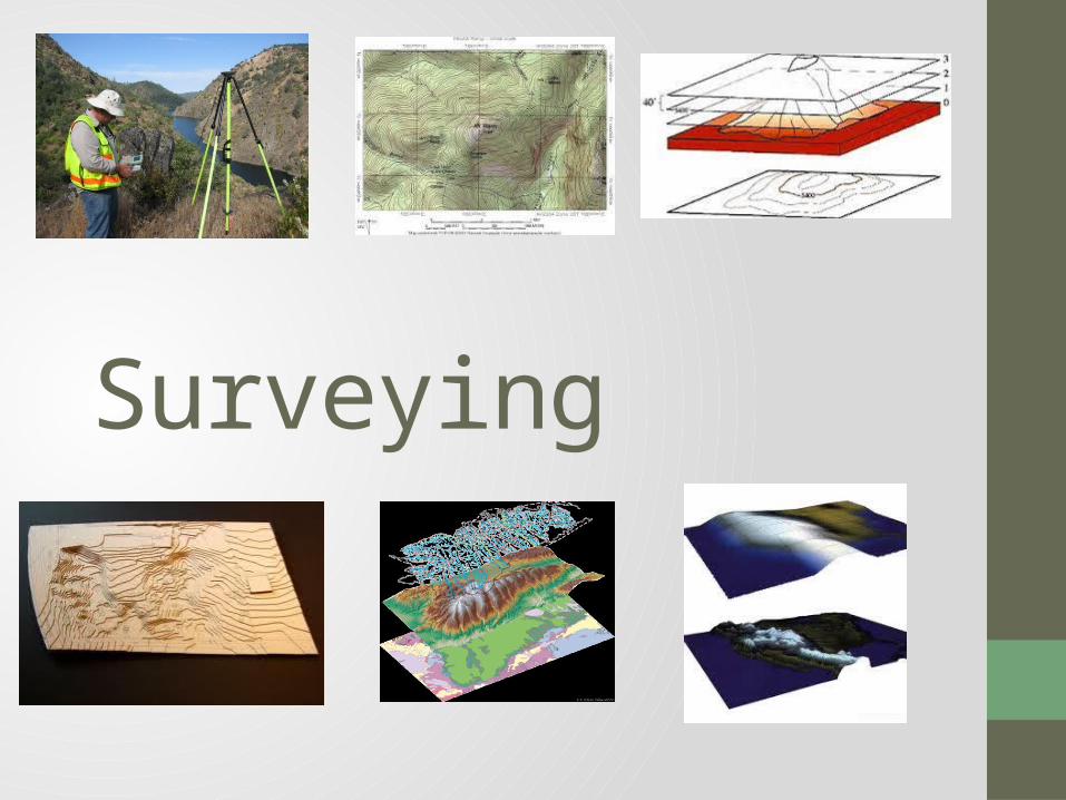
Surveying

Background
• Surveying is a necessary step in any construction, water pattern analysis or land mapping project• The process in land mapping,
elevation recording and site analysis• Has been a profession since the
creation of the first maps• One famous line created in the
United States through surveying is the Mason Dixon Line, which separated the North from the South
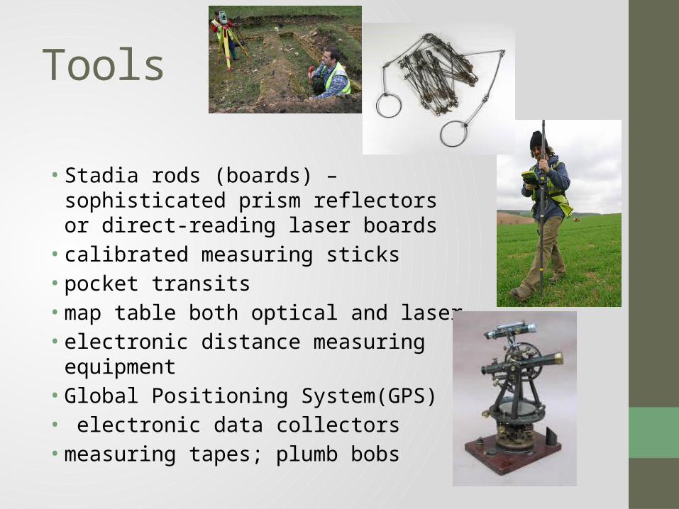
Tools
• Stadia rods (boards) –sophisticated prism reflectors or direct-reading laser boards• calibrated measuring sticks• pocket transits • map table both optical and laser• electronic distance measuring equipment• Global Positioning System(GPS)• electronic data collectors• measuring tapes; plumb bobs

Vocabulary Surveying- collecting data and characteristics of a piece of land
and creating maps, charts and models out of that information Section cut- a view of a specific slice of the interior of an object or
collection of objects. Section plan- a two-dimensional depiction of a specific slice of the
interior of an object or collection of objects. Topographic map- a detailed map portraying the contours of the
surface of a landscape. They are often very detailed. Elevation- height above sea level Peak-The highest point Slope- an incline. Can be calculated by rise/run. Often shown as a
percentage. 3-dimensinal model- a representation with height, depth and width.
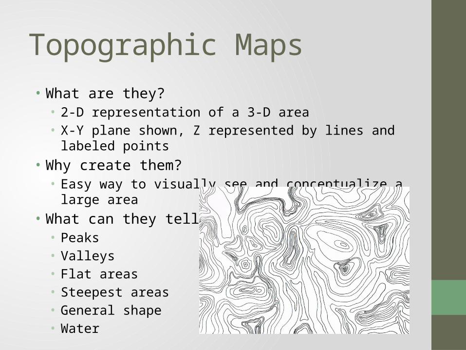
Topographic Maps• What are they?• 2-D representation of a 3-D area• X-Y plane shown, Z represented by lines and labeled points
• Why create them?• Easy way to visually see and conceptualize a large area
• What can they tell us?• Peaks• Valleys• Flat areas• Steepest areas• General shape• Water

Reading a Topographic Map• Each ring
represents a shared elevation
• Every cross or point that is labeled represents a peak
• Can you determine the areas with the steepest slope?
• Can you determine the most flat regions?
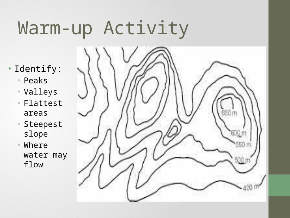
Warm-up Activity
• Identify:• Peaks• Valleys• Flattest areas• Steepest slope• Where water
may flow

Topographic mapping example
1.90
1.90
1.80
1.70
1.50
1.60
1.40
1.40
1.30

Section Views
• A cut slice of a 3-D object• Often vertical• Shows what is inside of an
object in 2-D form• Area cut shown on
topographic map through labeled line with arrows at the end

Section View Example
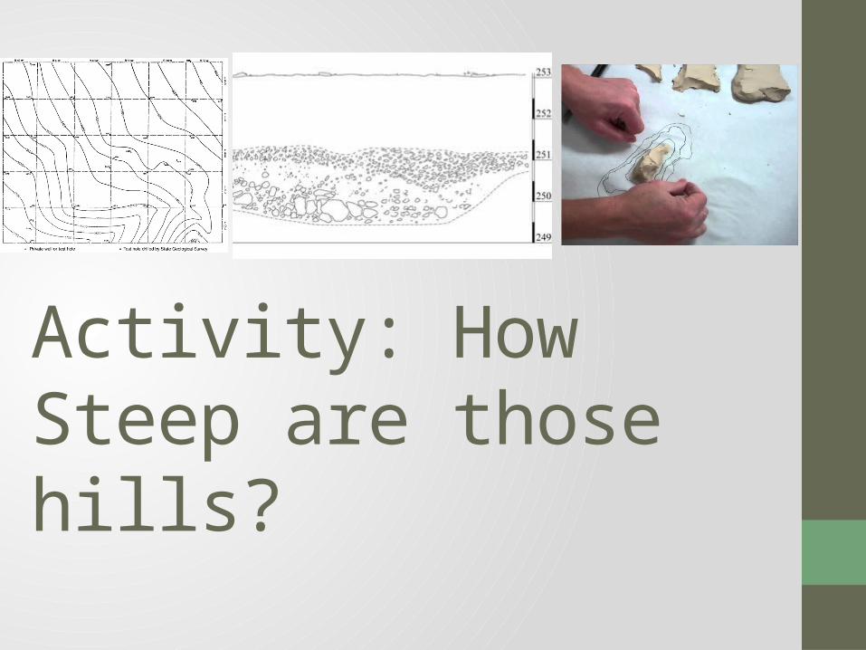
Activity: How Steep are those hills?
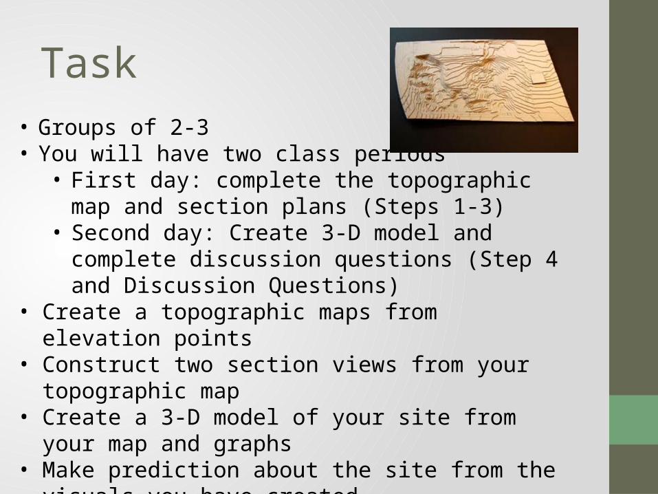
Task• Groups of 2-3• You will have two class periods• First day: complete the topographic map and section
plans (Steps 1-3)• Second day: Create 3-D model and complete
discussion questions (Step 4 and Discussion Questions)• Create a topographic maps from elevation points• Construct two section views from your topographic map• Create a 3-D model of your site from your map and
graphs • Make prediction about the site from the visuals you have
created

Materials
• Pencil• Paper with initial data points
2 pieces of graph paper • Ruler• Tape 1’ X 1’ piece of
cardboard • Clay • Small cup of water • Plastic knife

Ideas to Consider
• How could we reverse this process if we started with a model and needed a topographic map?• How could surveying be used to record change
on a given site? How could the change be shown visually?• Is surveying used for reasons other than
construction projects? What are some examples?

Careers• Surveyor/ Cartographer• Education:
• BS Degree in related field and/or Apprenticeship• Responsibilities:
• record, map and survey sites• Create maps, models and charts• Relay information to planners
• Architect/ Landscape Architect / Civil engineer• Education:
• Bachelor’s Degree and Certification• Responsibilities:
• Design buildings , gardens, parks, roads, bridges, etc.• Create models and graphs, both by hand and through computer programs
• Urban/Regional Planner• Education:
• Master’s Degree and Certification• Responsibilities:
• Collect the local residents opinions and ideas through surveys, town meetings and forums• Construct and write comprehensives plans• Analyze regional factors such as population, demographics, income, etc. over time