val english
TRANSCRIPT

Subtropical and Temperate Coastal Saltmarsh: description, threats, protection
Val English

Coastal Saltmarsh
• EPBC listed TEC: VU 2013; P3 in WA • Well described, not mapped well by DotE
(OzCoasts estuaries) • DPaW improving mapping, other data

Distribution • Narrow coastal margin in subtropical and temperate climatic
zones south of 26°S latitude in WA (23°S eastern). • 6 States: Queensland, NSW, Victoria, Tasmania, SA, SW WA • On some islands • Shark Bay stated N limit (Carnarvon mapped as EPBC limit) • Southern/eastern extent in WA: estuaries near Esperance • Most significant: estuaries of SCP (Swan-Canning, Peel-Harvey,
Leschenault and Vasse-Wonnerup).
• DPaW current mapping – 246 occs, total ~4,300ha


Description • Recognised nationally and globally as ecosystem of high ecological
value increasingly under threat • Extensive ecosystem services:
• filtering surface water flowing to ocean • carbon sequestration • fish nursery habitat; provision of food and nutrients for fauna, • buffers coastlines and riverbanks
• Increasing diversity of saltmarsh plant species with increasing latitude
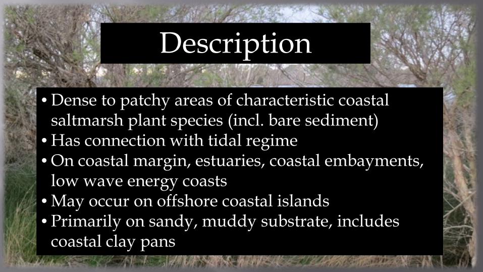
Description
• Dense to patchy areas of characteristic coastal saltmarsh plant species (incl. bare sediment)
• Has connection with tidal regime • On coastal margin, estuaries, coastal embayments,
low wave energy coasts • May occur on offshore coastal islands • Primarily on sandy, muddy substrate, includes
coastal clay pans

Description Exclusions: • saltmarsh on inland saline soils with no tidal connection • near coastal patches disconnected from tidal regime (once
connected). • seepage zones on rocky areas above tidal limit; headlands
subject to wind blown salt • saltmarsh with > 50% weeds (i.e. must be dominated by
native spp) • >50% tree cover • land permanently replaced with crops, urban areas etc.

Description • Most common families: Chenopodiaceae and Poaceae • Mainly salt-tolerant vegetation (halophytes): grasses, herbs, reeds, sedges,
shrubs. • Includes saltbush flats, many other vegetation types (sedgelands,
grasslands, herbfields, mudflats) • Vegetation generally <0.5m tall • 95 flora species known - WA Coastal Saltmarsh; very species rich • SW WA: important world centre of endemicity, diversity of saline
adapted groups including Samphires (Tecticornia), Samolus (water pimpernel), Triglochin (arrow grass) (G. Keighery)

Suaeda australis Sarcocornia quinqueflora
Sporobolous virginicus Triglochin striata
Juncus kraussii

Dongara
Baigup wetlands
Coodanup Furnissdale Shark Bay Birridas – gypsum claypans

Rockingham
Goegrup Lake
Rottnest
Goegrup Lake
Garret Rd, Swan River
Reinscourt Busselton Greenough River

Ascot Waters
Samolus

Threats Estimated ~50% loss of coastal salt marsh in WA: • Clearing and fragmentation: can further degrade. Loss of ecological function
(tidal links, food web dynamics etc) • 'Land-claim' or infilling: areas cleared and converted for urban, industry,
agriculture. • Altered Hydrology/Tidal restriction: developments impacting groundwater
access and surface runoff (freshwater and tidal). • Weeds: replacing native plants, changing vegetation structure • Climate Change: changes to temperature, sea level, storm frequency, sediment
dynamics • Other: Recreation, eutrophication, acid sulfate, grazing, insect control, fire
regimes

Ashfield Flats
Coodanup
Ashfield Flats Midwest

Management
• Improving mapping (incl. condition) • Geraldton, Albany, Shark Bay surveys • DPaW Regional/District, specialist staff • Volunteer/Friends groups • Healthy Wetland Habitats surveys

Swan-Canning
Mandurah area

Bunbury Area
Busselton area
Augusta area

Management • Controls on land clearing (eg land clearing regulations) • Manage hydrology (eg through EIA/planning) • Information and advice to stakeholders (eg HWH) • Weed control (eg Friends Groups, HWH, LGAs) • Other land management eg recreation, grazing, fire • Climate Change? Research into impacts and
amelioration

Conclusion
EPBC (and State) listing of coastal saltmarsh; opportunities and incentives: • Improving mapping • Increased awareness of significance • Improved management: potential federal resources
for rehabilitation/management; HWH • Improved outcomes in EIA
