hec software and fema submittals - c.ymcdn.comc.ymcdn.com/sites/ · hec software and fema...
TRANSCRIPT
Larry Voice
Risk Analysis – FEMA Region VIApril 12, 2010
HEC Software and FEMA SubmittalsEWRI Workshop – HEC Users Conference
Risk MAP
Overview
2
� Flood Hazard Analysis
� Overview of Map Changes
� Accepted Model List
� Guidance
�Common submittal challenges
� Technical Issues With Models
� Submittal Completeness
�Map Modernization to Risk MAP
Risk MAP
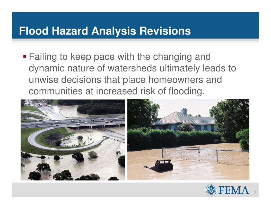
Flood Hazard Analysis Revisions
3
� Failing to keep pace with the changing and
dynamic nature of watersheds ultimately leads to
unwise decisions that place homeowners and
communities at increased risk of flooding.
Risk MAP
Flood Hazard Analysis Revisions
4
� If your community’s FIRM panels require update:
� Letters of Map Change
� Letters of Map Amendment (LOMA)
� Letters of Map Revision (LOMR)
� Physical Map Revision
� Appeals/Protests
� Restudy
�Revisions to the FIRM panels require technical
supporting data
� Hydrologic Modeling
� Hydraulic Modeling
Risk MAPConsequences of Incomplete/Incorrect Submittals
5
� Incomplete/Incorrect Submittals
� Increase chances submittal will be rejected
� Increase time to receive change
� For CLOMR and LOMR
� FEMA will notify requester and community within
60 days if more data required
� FEMA provides a LOMR or CLOMR or other
written determination within 90 days from the last
piece of information received
�May lead to additional fees
Risk MAP
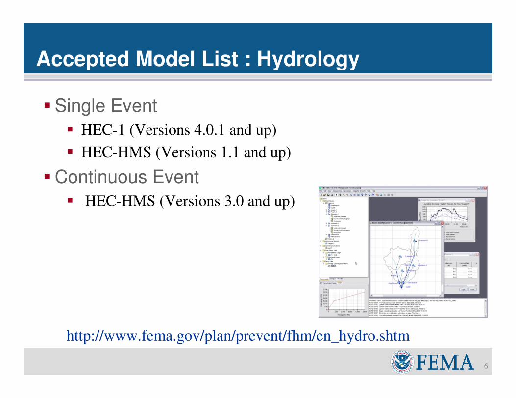
Accepted Model List : Hydrology
6
�Single Event
� HEC-1 (Versions 4.0.1 and up)
� HEC-HMS (Versions 1.1 and up)
�Continuous Event
� HEC-HMS (Versions 3.0 and up)
http://www.fema.gov/plan/prevent/fhm/en_hydro.shtm
Risk MAP
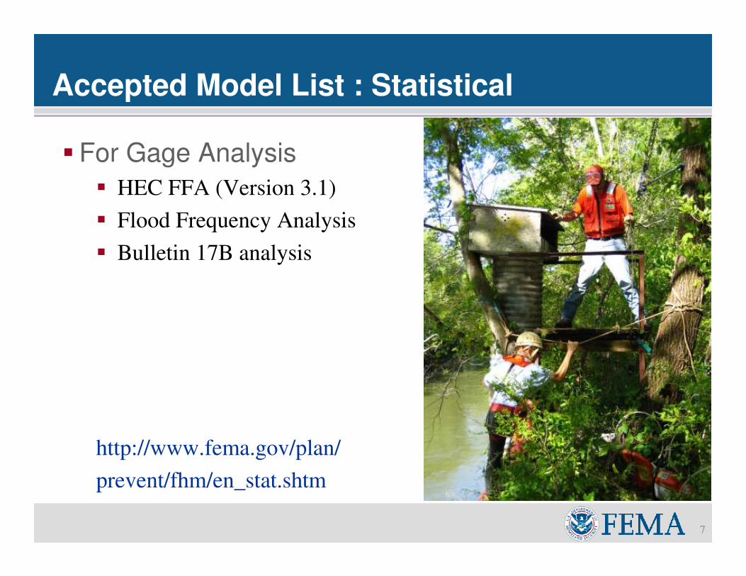
Accepted Model List : Statistical
7
� For Gage Analysis
� HEC FFA (Version 3.1)
� Flood Frequency Analysis
� Bulletin 17B analysis
http://www.fema.gov/plan/
prevent/fhm/en_stat.shtm
Risk MAP
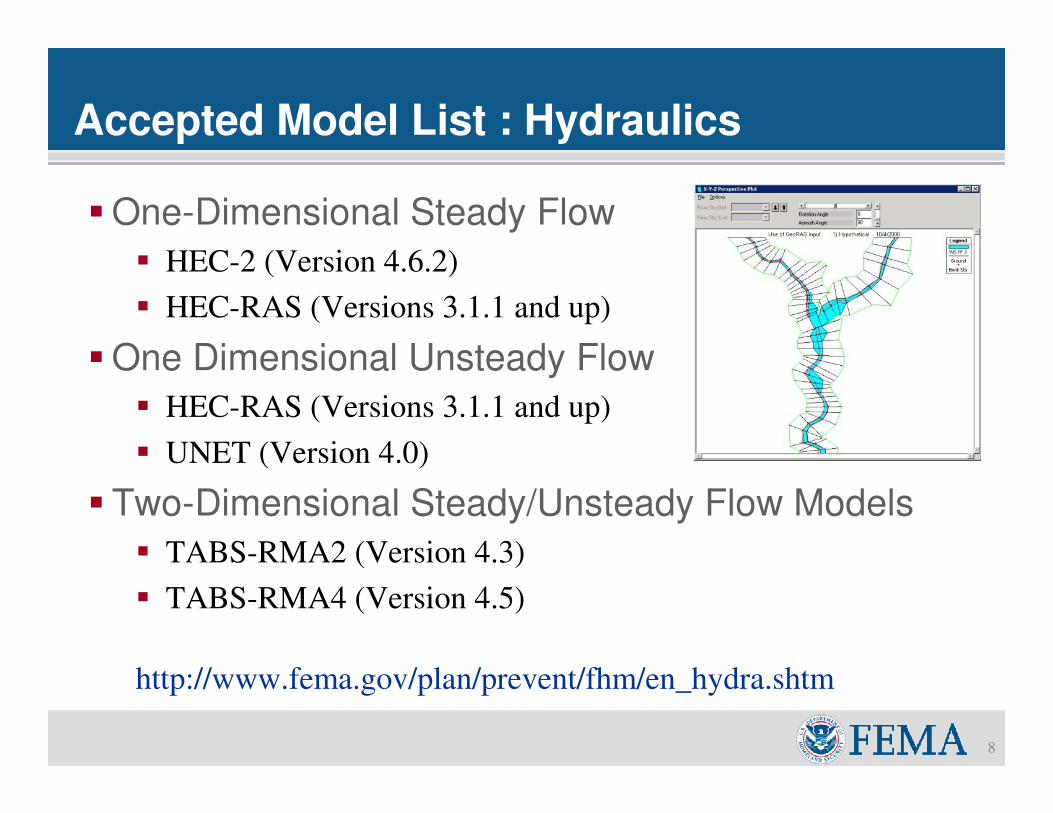
Accepted Model List : Hydraulics
8
�One-Dimensional Steady Flow
� HEC-2 (Version 4.6.2)
� HEC-RAS (Versions 3.1.1 and up)
�One Dimensional Unsteady Flow
� HEC-RAS (Versions 3.1.1 and up)
� UNET (Version 4.0)
� Two-Dimensional Steady/Unsteady Flow Models
� TABS-RMA2 (Version 4.3)
� TABS-RMA4 (Version 4.5)
http://www.fema.gov/plan/prevent/fhm/en_hydra.shtm
Risk MAP
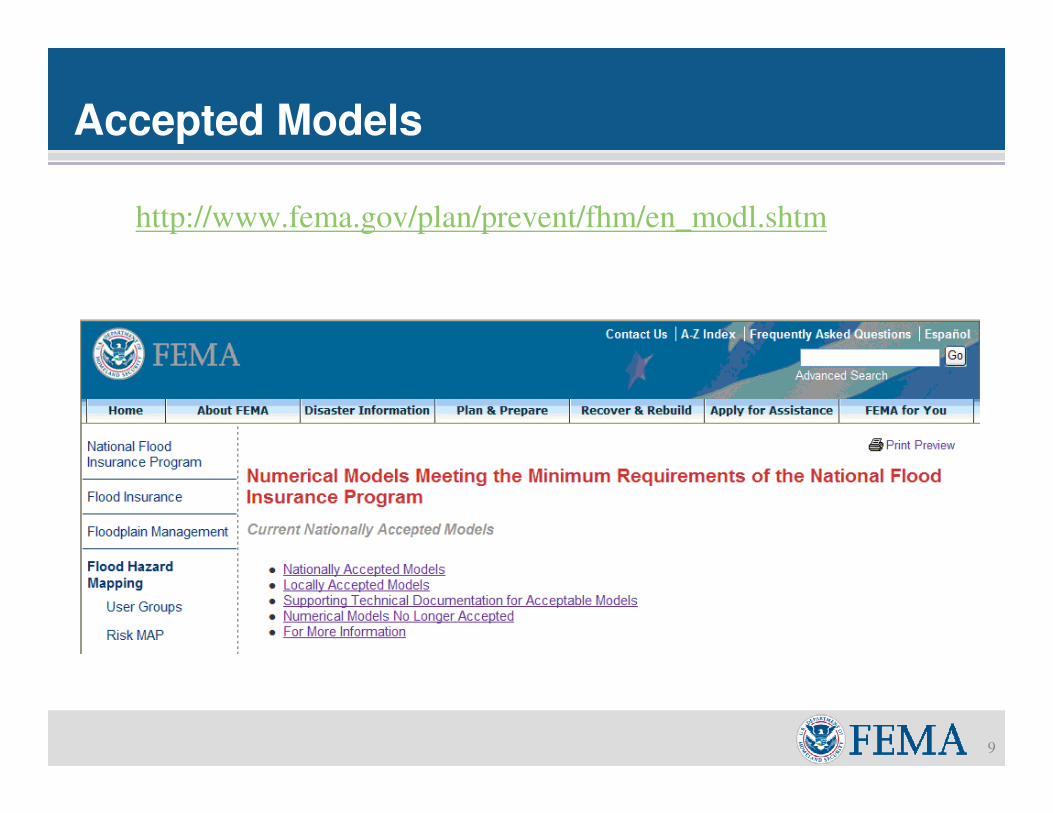
Accepted Models
9
http://www.fema.gov/plan/prevent/fhm/en_modl.shtm
Risk MAP
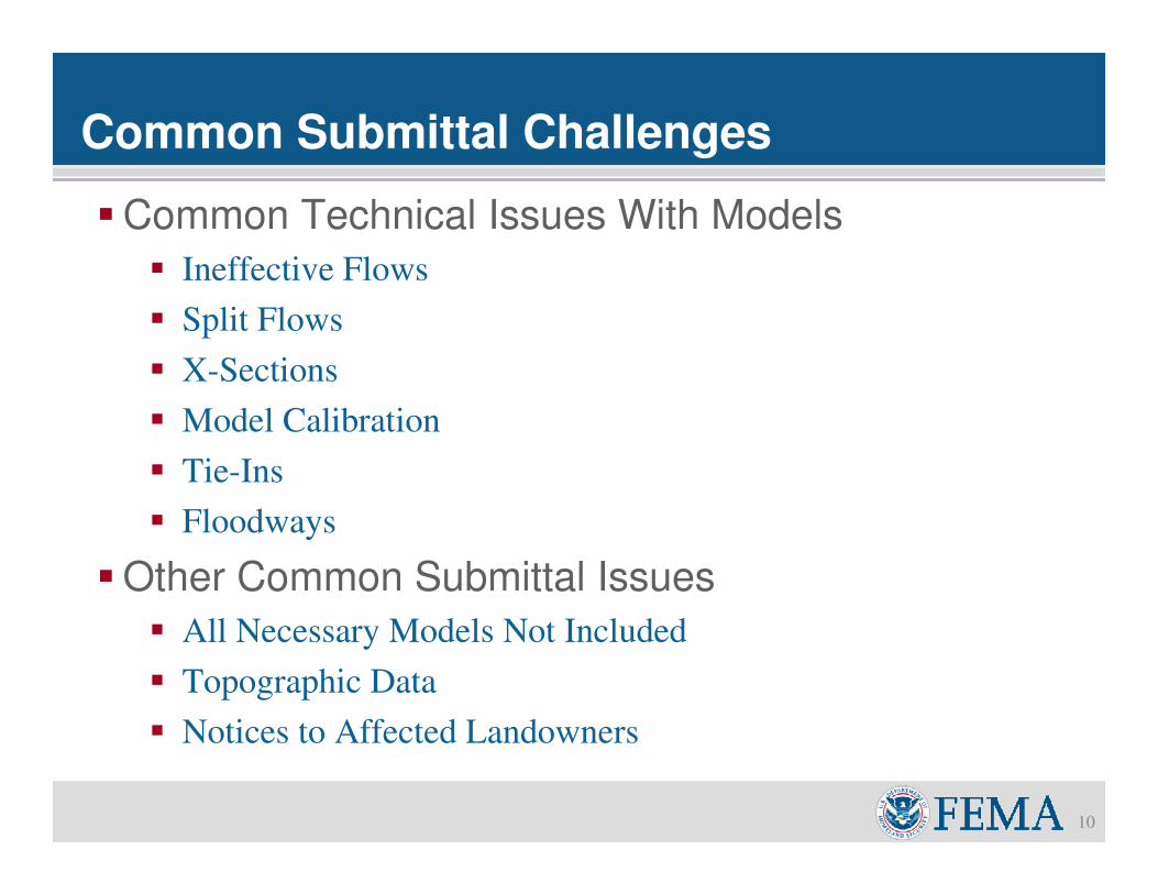
Common Submittal Challenges
10
�Common Technical Issues With Models
� Ineffective Flows
� Split Flows
� X-Sections
� Model Calibration
� Tie-Ins
� Floodways
�Other Common Submittal Issues
� All Necessary Models Not Included
� Topographic Data
� Notices to Affected Landowners
Risk MAP
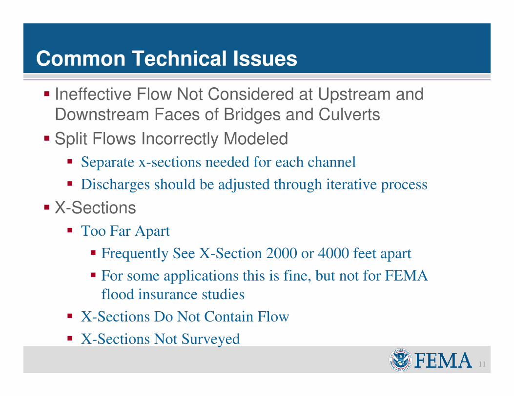
Common Technical Issues
11
� Ineffective Flow Not Considered at Upstream and
Downstream Faces of Bridges and Culverts
� Split Flows Incorrectly Modeled
� Separate x-sections needed for each channel
� Discharges should be adjusted through iterative process
� X-Sections
� Too Far Apart
� Frequently See X-Section 2000 or 4000 feet apart
� For some applications this is fine, but not for FEMA
flood insurance studies
� X-Sections Do Not Contain Flow
� X-Sections Not Surveyed
Risk MAP
Common Technical Issues
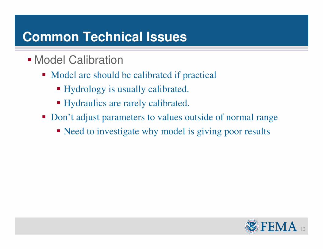
12
�Model Calibration
� Model are should be calibrated if practical
� Hydrology is usually calibrated.
� Hydraulics are rarely calibrated.
� Don’t adjust parameters to values outside of normal range
� Need to investigate why model is giving poor results
Risk MAP
Common Technical Issues
13
� Tie-Ins
� Models must tie into the effective BFE within 0.50’
� Match within 0.10’ preferred.
� Must tie in visibly, using available topography as a guide.
� A 90°bend at the property line is not acceptable
� Model far enough to achieve both tie ins, regardless of how
long the model must be.
� Duplicate effective, corrected effective, existing, and
proposed conditions model should agree at a common cross-
section near the limits of your models.
� Otherwise - probably have not a satisfactory tie in.
Risk MAP
Tie-Ins
14
620
625
630
635
640
645
M
REVISED AREA
EFFECTIVE 100-YEAR PROFILE
AS-BUILT 100-YEAR PROFILE
TIE-IN POINT
TIE-IN POINT
25.5 26.0 26.5 27.0 27.5 28.0 28.5 29.0 29.5 30.0
STREAM DISTANCE IN FEET ABOVE CONFLUENCE WITH CREEK
Risk MAP
Floodways
15
�Observe equal conveyance reduction criteria (Method
4)
�Rerun floodway with final limits set using Method 1 to
ensure a hydraulically smooth floodway boundary
�Use correct maximum floodway surcharges
� Floodway must be contained within SFHA
� Floodway can not be within the channel banks or
inside levees
�Retain existing floodway where possible
Risk MAP
Incorrect Hydraulic Model Submittal
16
� If the effective model will be changed via the
LOMR process a number of models are required
to be submitted.
� Effective Model
� Duplicate Effective – Recreation of the Effective Model
� Corrected Effective – Corrections to Effective Model
� Existing Conditions – Additional XS, updated flow,
structures not previously included
� Proposed or As-Built Hydraulics.
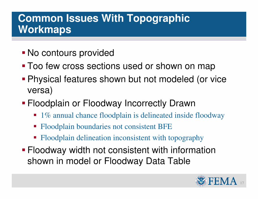
Risk MAPCommon Issues With Topographic Workmaps
17
�No contours provided
� Too few cross sections used or shown on map
�Physical features shown but not modeled (or vice
versa)
� Floodplain or Floodway Incorrectly Drawn
� 1% annual chance floodplain is delineated inside floodway
� Floodplain boundaries not consistent BFE
� Floodplain delineation inconsistent with topography
� Floodway width not consistent with information
shown in model or Floodway Data Table
Risk MAP
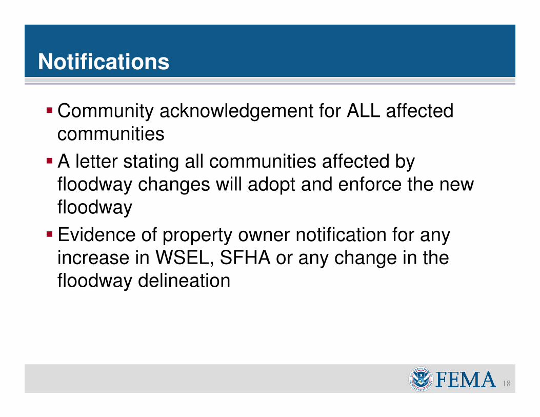
Notifications
18
�Community acknowledgement for ALL affected
communities
�A letter stating all communities affected by
floodway changes will adopt and enforce the new
floodway
�Evidence of property owner notification for any
increase in WSEL, SFHA or any change in the
floodway delineation
Risk MAP
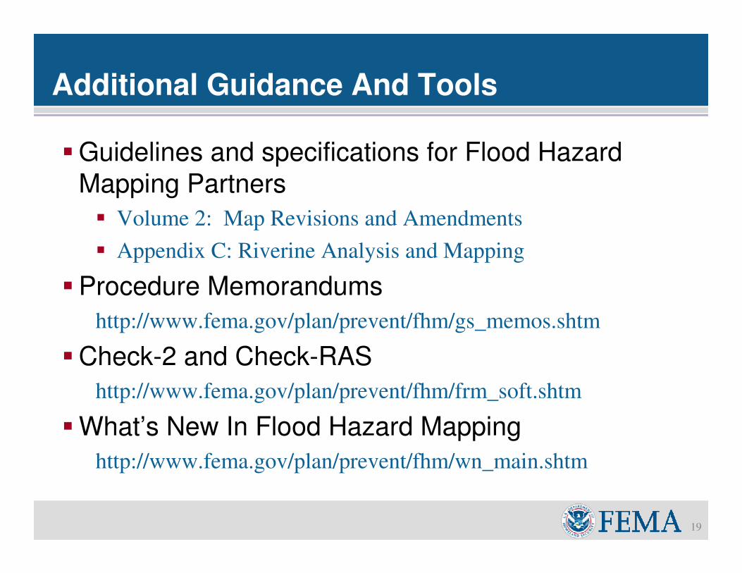
Additional Guidance And Tools
19
�Guidelines and specifications for Flood Hazard
Mapping Partners
� Volume 2: Map Revisions and Amendments
� Appendix C: Riverine Analysis and Mapping
�Procedure Memorandums
http://www.fema.gov/plan/prevent/fhm/gs_memos.shtm
�Check-2 and Check-RAS
http://www.fema.gov/plan/prevent/fhm/frm_soft.shtm
�What’s New In Flood Hazard Mapping
http://www.fema.gov/plan/prevent/fhm/wn_main.shtm
Risk MAP
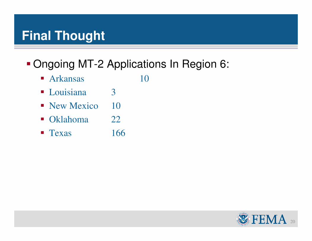
Final Thought
20
�Ongoing MT-2 Applications In Region 6:
� Arkansas 10
� Louisiana 3
� New Mexico 10
� Oklahoma 22
� Texas 166
Risk MAP
Map Modernization to Risk MAP
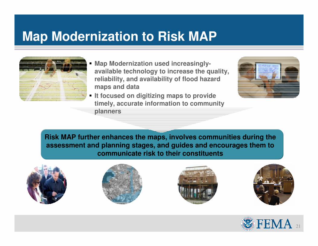
21
� Map Modernization used increasingly-
available technology to increase the quality,
reliability, and availability of flood hazard
maps and data
� It focused on digitizing maps to provide
timely, accurate information to community
planners
Risk MAP further enhances the maps, involves communities during the assessment and planning stages, and guides and encourages them to
communicate risk to their constituents
Risk MAP
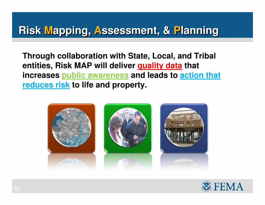
Through collaboration with State, Local, and Tribal entities, Risk MAP will deliver quality data that increases public awareness and leads to action that reduces risk to life and property.
22
Risk Mapping, Assessment, & PlanningRisk Mapping, Assessment, & Planning
Risk MAP
23
Risk MAP: Project PlanningRisk MAP: Project Planning
Quality Data – Topographic information is needed to produce studies in Risk MAP
Awareness and Understanding of Local and State
needs – CNMS
Review of National HAZUS Level 1 Run – Forecasted
for April 2010
Review of current Mitigation Plans for potential
projects, review grant opportunities
Risk MAP
24
Risk MAP: Project PlanningRisk MAP: Project Planning
� Focus Areas 2010
• Coastal, Levee and Other Engineering
• Funding will be based on “Trifecta”
� Risk + Need + Elevation Data
� Focus Areas 2011
• Funding will be based on “Superfecta”
� Risk + Need + Elevation Data
� AND Partner Contribution

Risk MAP