galileo navigation system
TRANSCRIPT
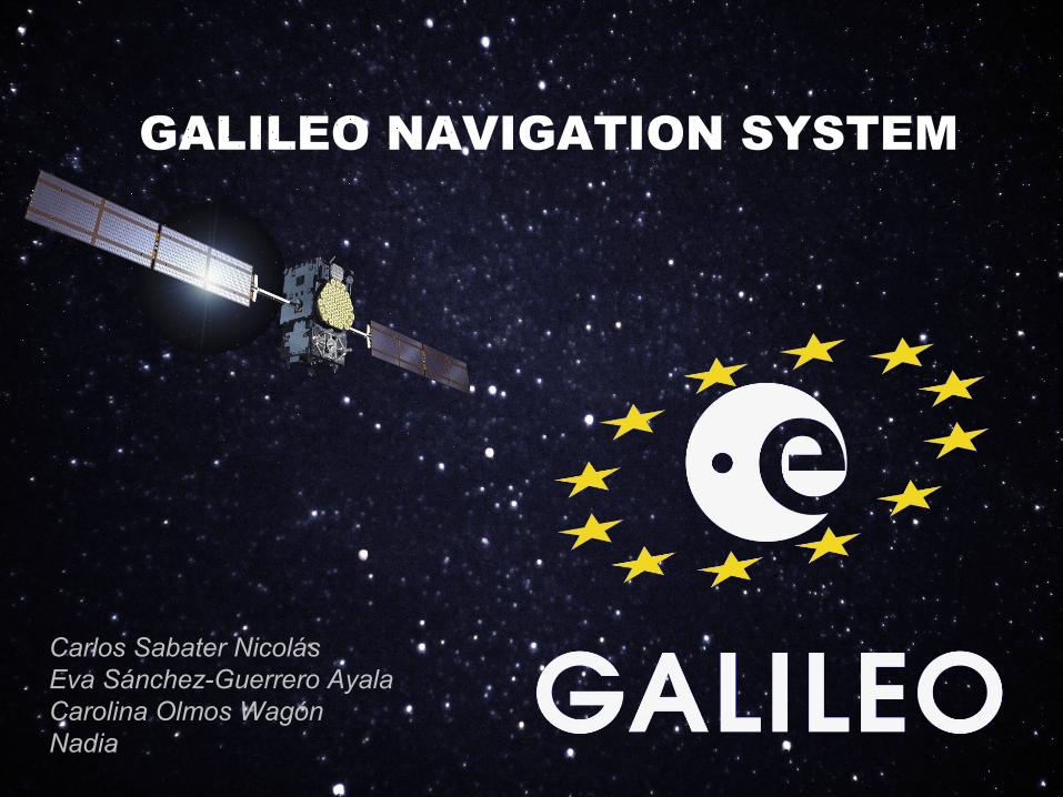
GALILEO NAVIGATION SYSTEM
Carlos Sabater NicolásEva Sánchez-Guerrero AyalaCarolina Olmos Wagón Nadia
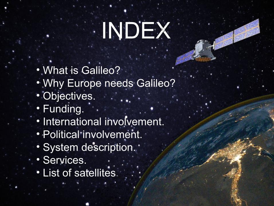
INDEX
• What is Galileo?• Why Europe needs Galileo?• Objectives.• Funding.• International involvement.• Political involvement.• System description.• Services.• List of satellites.
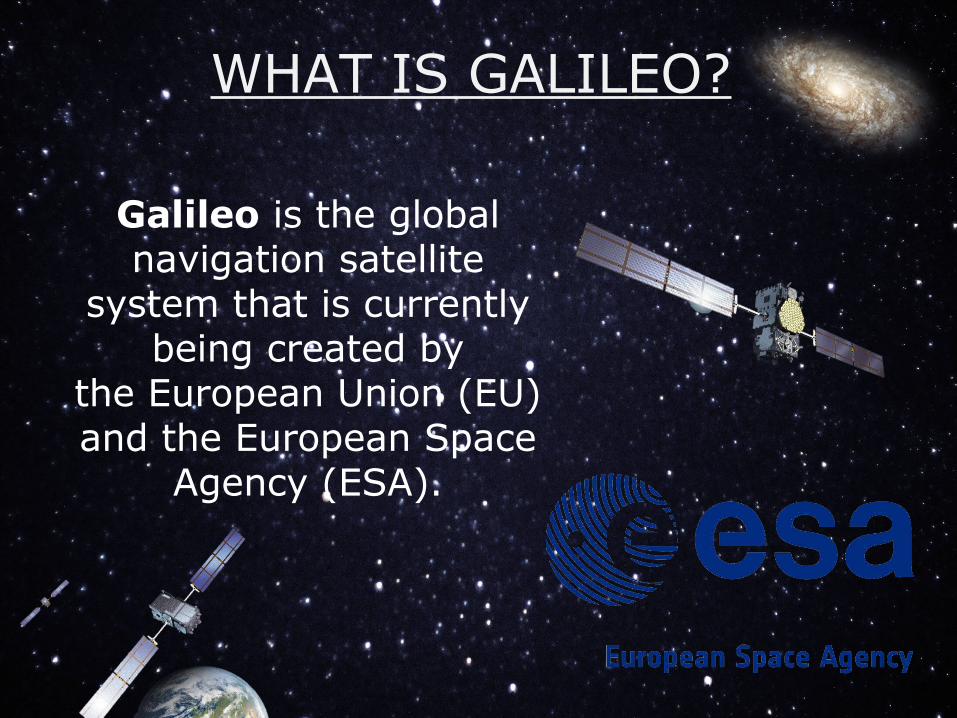
WHAT IS GALILEO?
Galileo is the global navigation satellite
system that is currently being created by
the European Union (EU) and the European Space
Agency (ESA).
WHY EUROPE NEEDS GALILEO
• The system will be under civilian control and its coming online will allow positions to be determined accurately for most places on Earth.
• With Galileo, Europe will be able to exploit the opportunities provided by satellite navigation to the full extent.
•Receiver and equipment manufacturers, application providers and service operators will benefit from novel business opportunities.
OBJECTIVES
• The 30-satellite Galileo navigation system will provide high-quality positioning, navigation and timing services to users across the whole world as a civil-controlled service.
• In-Orbit Validation’s phase aims to perform an in-orbit validation of the system using a reduced constellation of four Galileo In-Orbit Validation satellites.

• The four satellites perform a dual role, serving as a validation of the overall Galileo system while also being part the operational Galileo constellation – each IOV satellite being designed for a full 12-year lifespan providing navigation services to users worldwide.
• The results will be crucial to Galileo’s success, used to set benchmarks for their operational life and used as a reference across the entire Galileo constellation.
OBJECTIVES
FUNDING
Who is involved in Galileo?
•The European Commission (EC)
•The European GNSS Agency (GSA)
•The European Space Agency (ESA)
INTERNATIONAL INVOLVEMENT
• China (2003)• Israel (2004)• Morocco (2005)• South Korea (2006)• In 2006, Galileo was nationalised.• Norway (2009)• Switzerland (2013)
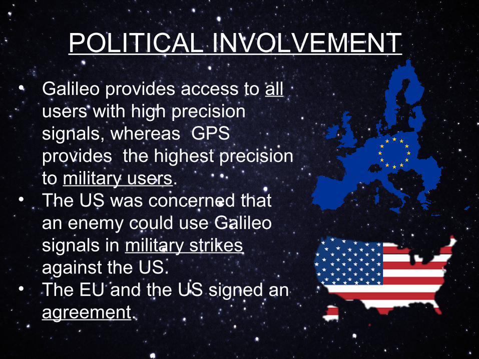
POLITICAL INVOLVEMENT
• Galileo provides access to all users with high precision signals, whereas GPS provides the highest precision to military users.
• The US was concerned that an enemy could use Galileo signals in military strikes against the US.
• The EU and the US signed an agreement.
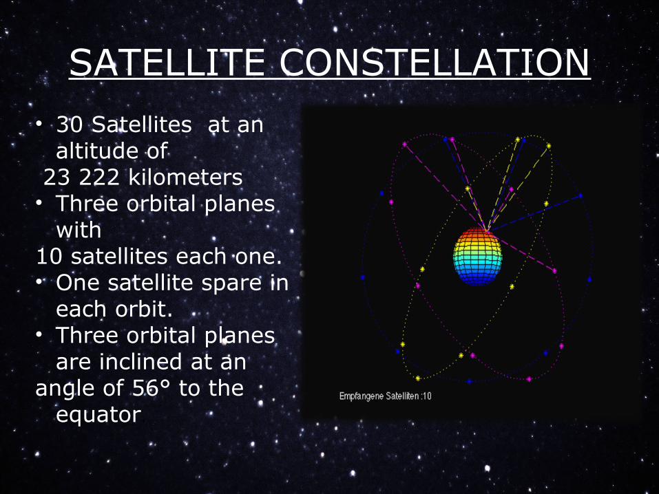
SATELLITE CONSTELLATION
• 30 Satellites at an altitude of
23 222 kilometers• Three orbital planes
with10 satellites each one.• One satellite spare in
each orbit.• Three orbital planes
are inclined at an angle of 56° to the
equator.
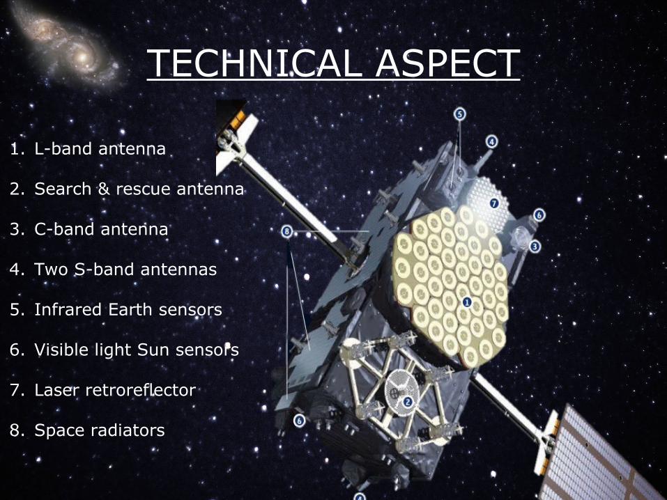
TECHNICAL ASPECT
1. L-band antenna
2. Search & rescue antenna
3. C-band antenna
4. Two S-band antennas
5. Infrared Earth sensors
6. Visible light Sun sensors
7. Laser retroreflector
8. Space radiators
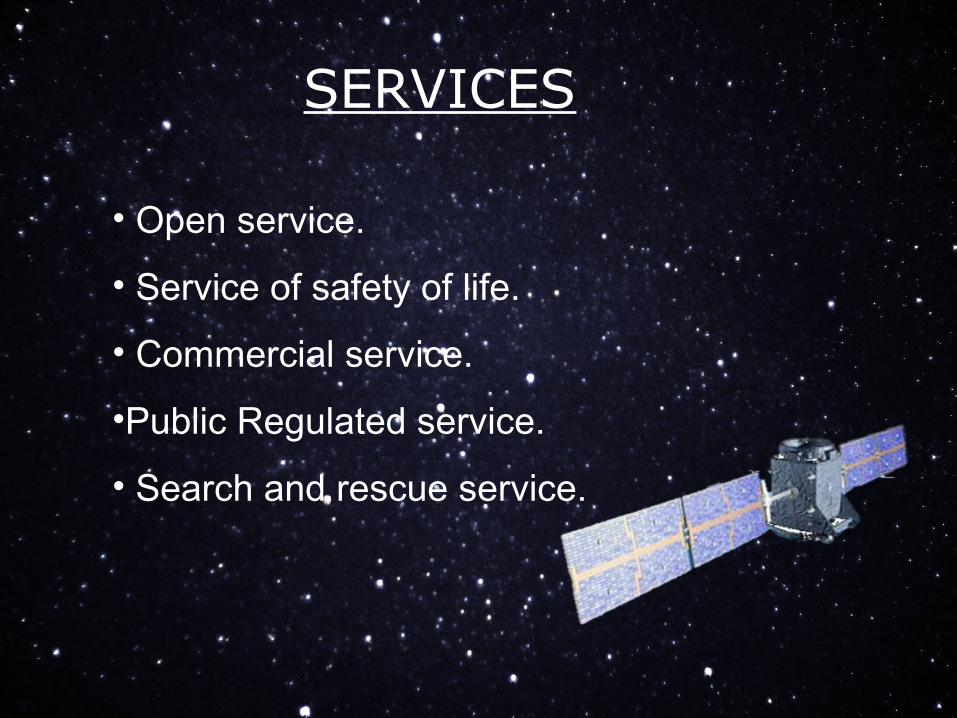
SERVICES
• Open service.
• Service of safety of life.
• Commercial service.
•Public Regulated service.
• Search and rescue service.
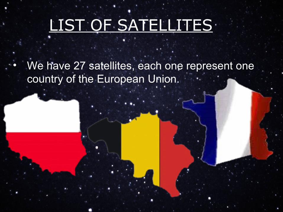
LIST OF SATELLITES
• We have 27 satellites, each one represent one country of the European Union.