china-arab states cooperation on geological survey (2017)
TRANSCRIPT
China-Arab States Cooperation on
Geological Survey (2017)
China Geological Survey,
Ministry of Land and Resources, P. R. China
August 31st, 2017

Table of Contents
I. China-Arab Geological Survey Cooperation Network Has Been
Initially Established Based on a Demand-Driven Approach错误 ! 未
定义书签。
II. China-Arab Geological and Geochemical Mapping Cooperation
Has Expanded with the Emphasis on Fundamental Geological
Survey ................................................................. 错误!未定义书签。
III. China-Arab Geoscience Research Cooperation Has Yielded
Initial Results Led by Advanced Science and Technology错误 !未定
义书签。
IV. China-Arab Geological Survey Cooperation on Hydrogeology,
Engineering Geology and Environmental Geology Has Gained
Remarkable Achievements Targeted at Improving People's
Livelihood ......................................................... 错误!未定义书签。
V. China-Arab Geological Survey Talents Cultivation and Personnel
Exchange Have Obtained Notable Progress ....... 错误!未定义书签。
VI. China-Arab Cooperation on Geological Survey Has Broad
Prospects for Future Cooperation ..................... 错误!未定义书签。


1
The extensive China-Arab states (hereinafter referred to as China-Arab)
cooperation on geological survey started in the 1970s when joint
hydrogeological survey was conducted to help local people to gain access
to drinking water. In the 21st century, China-Arab cooperation on
geological survey entered into a new historical development period.
China established extensive China-Arab geoscientific cooperation
network and platform, cultivated a number of administrative and
technical staff for the mining departments of Arab states, thus building up
the capacity for geological survey in Arab states. Geological survey
institutions from China and a number of Arab states have jointly carried
out fundamental geological work, for instance, cooperation projects in
geological mapping and geochemical mapping, which enhanced the level
of geological work in Arab states and played a positive role in improving
the mineral exploration and investment environment in Arab states.
I. China-Arab Geological Survey Cooperation Network Has
Been Initially Established Based on a Demand-Driven Approach
China and most Arab states are developing countries, and they are
confronted with common development issues. Meanwhile, China and
Arab states have rich natural resources that are complementary to each
other. As a result, the need of cooperation on geological survey between
the two sides is very strong.
2
So far, China has established bilateral cooperative relations with three
Arab states in geological survey, including Morocco, Sudan and Saudi
Arabia, signed six memorandums of understanding or project cooperation
agreements and implemented seven cooperation projects thereunder.
Diverse multilateral cooperation platforms have been established to boost
pragmatic cooperation with Arab states in multiple fields. Making full use
of the cooperation platforms such as China Mining, the UNESCO
International Research Center on Karst, the UNESCO International
Center on Global-Scale Geochemistry, the Global Geoparks Network
Office etc., China has further promoted its cooperation with Arab states in
mining investment, karst environment and climate change,
hydrogeological, engineering geological and environmental geological
survey, geological mapping, geochemical mapping, geological
interpretation of satellite remote sensing, geoheritage and geoparks,
leading to an expanded China-Arab cooperation network in geological
survey. In addition, China Geological Survey (CGS) has set up North and
West Africa Geosciences Center to consolidate the foundation for
China-Arab cooperation on geological survey.
II. China-Arab Geological and Geochemical Mapping
Cooperation Has Expanded with the Emphasis on Fundamental
Geological Survey
3
In view of the weak basic geological work in Arab states, to solve the
problems of resources, environment and people’s livelihood, it is highly
important to consolidate the basic geological survey, enlarge the scale of
geological survey and provide basic geological information services. In
recent years, CGS has jointly conducted 1∶50,000 to 1∶250,000 scaled
geological and geochemical mapping successively with the geological
survey institutions in Morocco, Sudan and other countries, completed an
area of 6493 km2 in geological mapping, an area of 14440 km
2 in
geochemical mapping and an area of 26912 km2
in remote sensing
interpretation at various scales (Table 1).
Table 1 Fact Sheet of China-Arab Geological-geochemical Mapping Cooperation
Projects Since 2006
Cooperativ
e countries Duration location
Project details
description Scale Area (km2)
Morocco
2014-2015 Meknès-Tfilalt Geochemical
mapping
1:100,0
00 7947
2015-present
day West Atlas
Geological
mapping
1:50,00
0 2688
Geochemical
mapping
1:50,00
0 2688
Remote
sensing
interpretation
1:50,00
0 2000
Sudan 2012-2017 Red Sea State
in NE Sudan
Geological
mapping
1:250,0
00 3805
4
Geochemical
mapping
1:250,0
00 3805
Remote
sensing
interpretation
1:250,0
00 24912
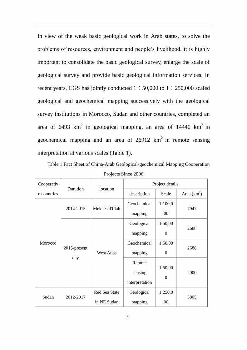
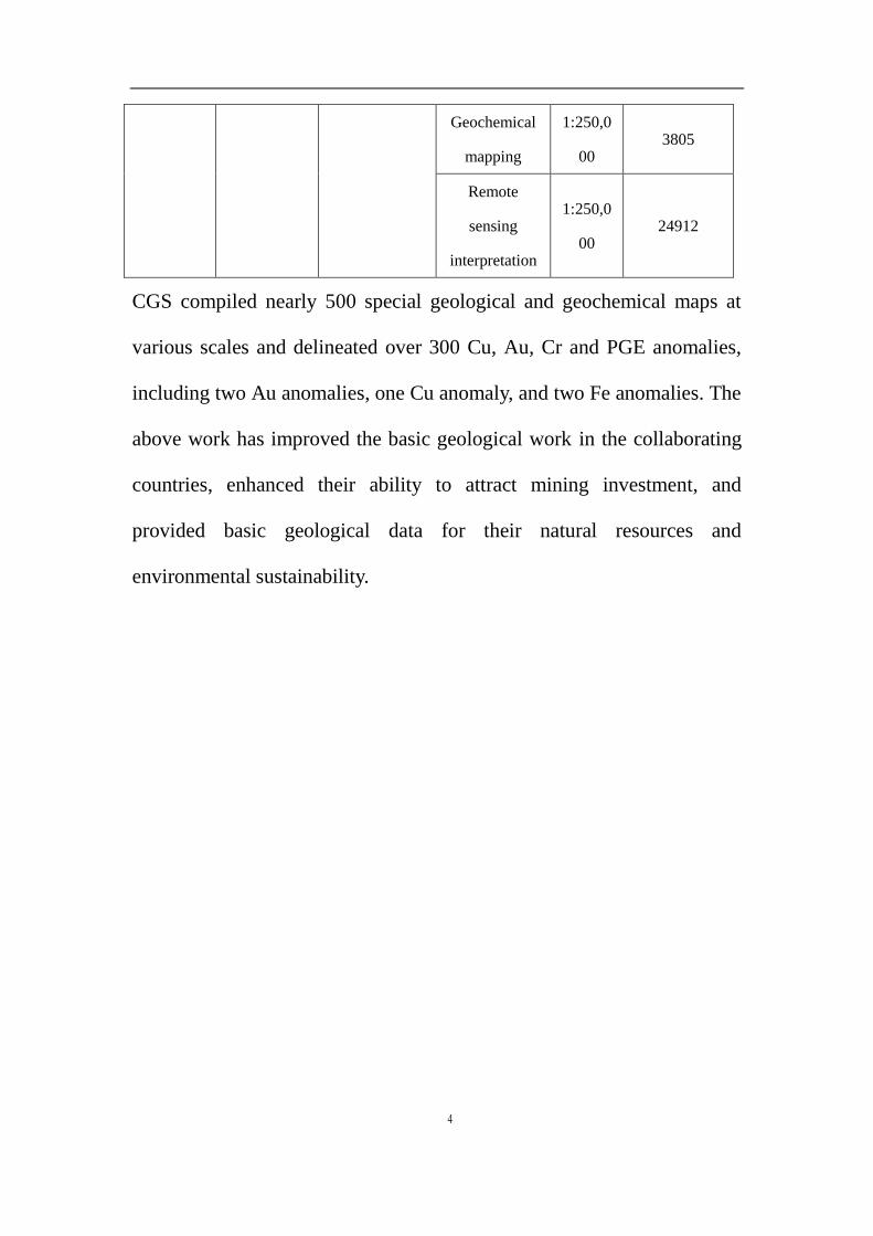
CGS compiled nearly 500 special geological and geochemical maps at
various scales and delineated over 300 Cu, Au, Cr and PGE anomalies,
including two Au anomalies, one Cu anomaly, and two Fe anomalies. The
above work has improved the basic geological work in the collaborating
countries, enhanced their ability to attract mining investment, and
provided basic geological data for their natural resources and
environmental sustainability.
5
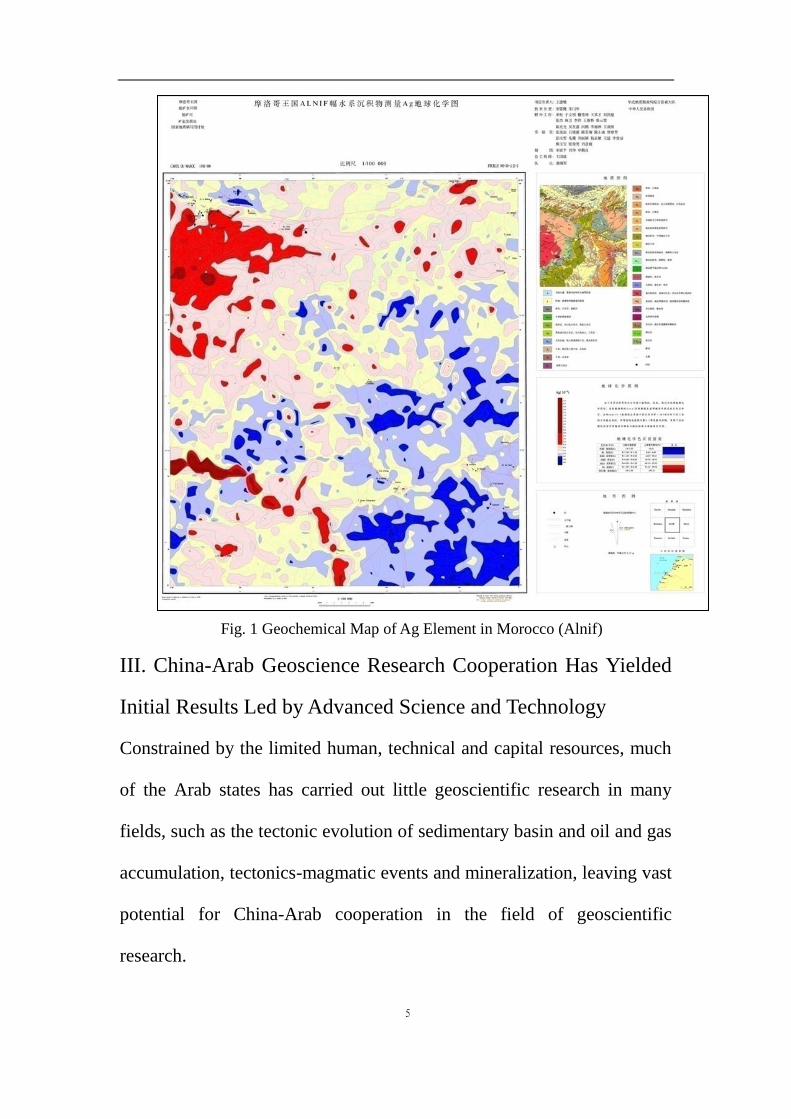
Fig. 1 Geochemical Map of Ag Element in Morocco (Alnif)
III. China-Arab Geoscience Research Cooperation Has Yielded
Initial Results Led by Advanced Science and Technology
Constrained by the limited human, technical and capital resources, much
of the Arab states has carried out little geoscientific research in many
fields, such as the tectonic evolution of sedimentary basin and oil and gas
accumulation, tectonics-magmatic events and mineralization, leaving vast
potential for China-Arab cooperation in the field of geoscientific
research.
6
In cooperation with geological survey institutions in Sudan and other
countries, CGS summed up the metallogenic geological background of
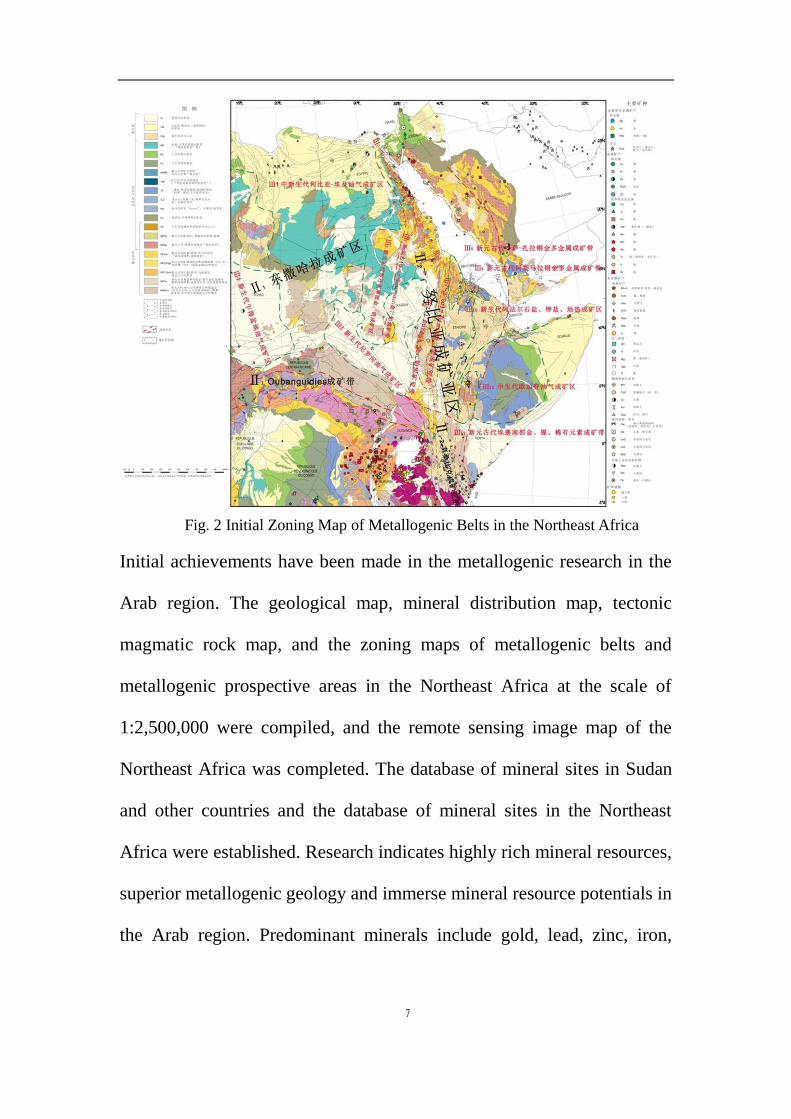
the research area, proposed that the Neoproterozoic Pan-African
movement laid the tectonic pattern of the Northeast Africa, and divided
the tectonic units in the Northeast Africa. Based on the research of
mineral resources and metallogenic characteristics in the Northeast Africa,
CGS proposed that the predominant minerals in the Northeast Africa
include gold, copper, PGE and rare earth element minerals, divided the
region into 12 grade-Ⅲ metallogenic belts, summarized the regional
ore-controlling conditions and the metallogenic rules in the major
metallogenic belts, and analyzed the metallogenic effects. Based on the
grade-Ⅲ metallogenic units, 15 metallogenic prospective areas were
delineated.
7
Fig. 2 Initial Zoning Map of Metallogenic Belts in the Northeast Africa
Initial achievements have been made in the metallogenic research in the
Arab region. The geological map, mineral distribution map, tectonic
magmatic rock map, and the zoning maps of metallogenic belts and
metallogenic prospective areas in the Northeast Africa at the scale of
1:2,500,000 were compiled, and the remote sensing image map of the
Northeast Africa was completed. The database of mineral sites in Sudan
and other countries and the database of mineral sites in the Northeast
Africa were established. Research indicates highly rich mineral resources,
superior metallogenic geology and immerse mineral resource potentials in
the Arab region. Predominant minerals include gold, lead, zinc, iron,

8
chromium, phosphorus, uranium and petroleum, among which petroleum
resources are particularly worthy of attention.
9
Table 2 Summary List of Predominant Mineral Resources in the Arab region
No. minera
l Major location
Typical deposit
(zone) Genetic type
1 gold Sudan Hassay gold deposit Hydrothermal
type
2 lead,
zinc Morocco
Wade Mokta lead
mine VMS type
3 iron Morocco, Mauritania, Sudan Iron deposit in Nazor
area, Morocco
contact
metasomatic
type, BIF type
4 Chrom
ium Sudan
Chromite deposit in
Ingersana Mountain
Related to
ultrabasic rocks
5 Phosp
horus Morocco, Algeria
Youssoufia
phosphate deposit
in Morocco
Sedimentary
type
6 uraniu
m Sudan, Algeria
Abango uranium
deposit in Algeria Granite type
7 petrole
um
Libya, Algeria, Egypt, South
Sudan, United Arab Emirates,
Saudi Arabia, Iraq, Oman,
Syria, Yemen, Kuwait, Qatar,
Jordan
Ghawar Oilfield,
Salah Gasfield
IV. China-Arab Geological Survey Cooperation on
Hydrogeology, Engineering Geology and Environmental
Geology Has Gained Remarkable Achievements Targeted at
Improving People's Livelihood
10
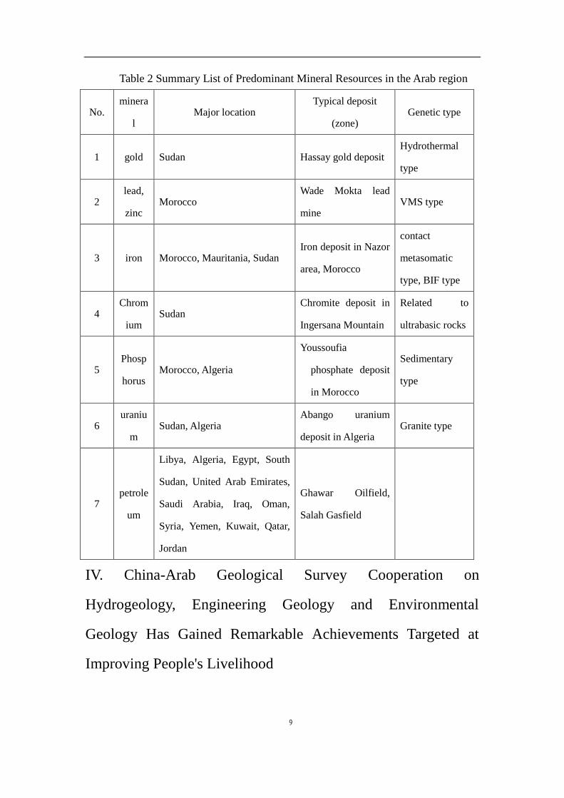
Water shortage is a common problem in many Arab states, where
drinking water has always remained a challenge for the local residents
and constitutes one of the roots for poverty in the Arab region.
Since the 1970s, China has conducted cooperative projects in the fields of
hydrogeological survey, water supply investigation and water supply with
Algeria, Egypt, Morocco, Sudan and other countries. According to the
incomplete statistics, these projects involved the completion of over 300
water supply wells, solving the problem of domestic water for about 2
million people.
Fig. 3 1000m water well on Ghardaia Desert, Algeria
In collaboration with Algeria, we have conducted the hydrogeological
survey of urban water supply, drainage and flood control in 11 provinces
and municipalities, drilled 224 water supply wells, including 184
domestic water wells, 36 agricultural irrigation wells and 4 industrial
11
water wells with a total capacity of 36,500m3/h, solving the problem of
supplying water for the 400,000 people’s livelihood and economic
development.
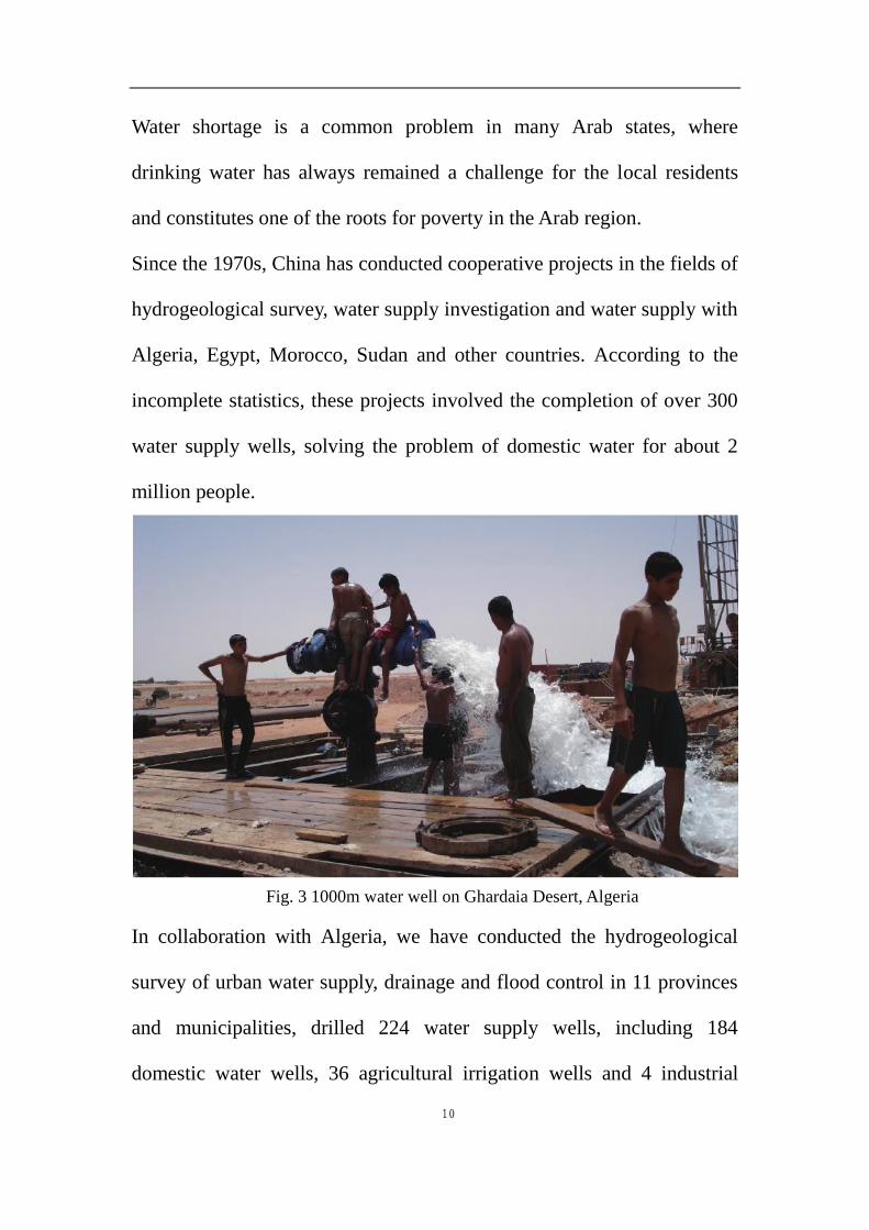
Fig. 4 Work-site of the municipal pipeline project, Abyei, Sudan
In collaboration with Sudan, we have conducted hydrogeological and
environmental survey, water supply investigation and water supply
projects in the Baggara Basin in the south of Nyala, the capital city of
South Darfur, built two large water sources, three water transmission
pipelines, water supply plants and booster pump stations together with the
associated water supply, measuring monitoring and maintenance facilities,
and drilled 20 water supply wells with a total capacity of 40,000 m3/d,
and supplying water for almost 500,000 residents.
V. China-Arab Geological Survey Talents Cultivation and
Personnel Exchange Have Obtained Notable Progress
12
Talents are the key to improve the geological survey competence. Over
the past decade, the Chinese government has conducted human resources
exchange and cooperation with six Arab states, including Egypt, Algeria,
Mauritania, Morocco, Yemen and Sudan in forms of academic education,
short-term seminars, technical training and field technical instructions
under the principle of equity, cooperation and mutual benefit.
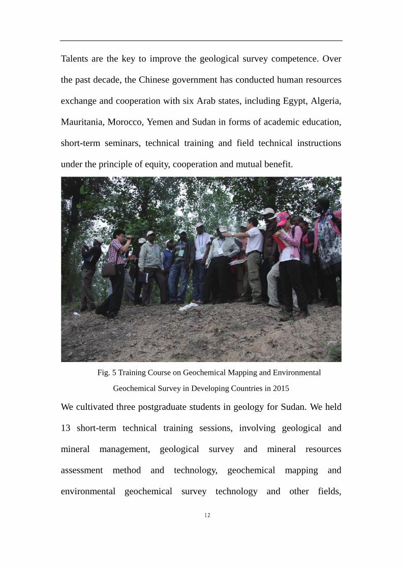
Fig. 5 Training Course on Geochemical Mapping and Environmental
Geochemical Survey in Developing Countries in 2015
We cultivated three postgraduate students in geology for Sudan. We held
13 short-term technical training sessions, involving geological and
mineral management, geological survey and mineral resources
assessment method and technology, geochemical mapping and
environmental geochemical survey technology and other fields,
13
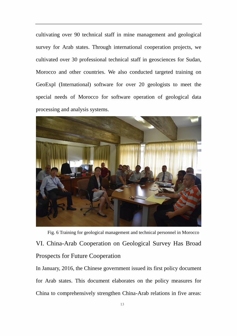
cultivating over 90 technical staff in mine management and geological
survey for Arab states. Through international cooperation projects, we
cultivated over 30 professional technical staff in geosciences for Sudan,
Morocco and other countries. We also conducted targeted training on
GeoExpl (International) software for over 20 geologists to meet the
special needs of Morocco for software operation of geological data
processing and analysis systems.
Fig. 6 Training for geological management and technical personnel in Morocco
VI. China-Arab Cooperation on Geological Survey Has Broad
Prospects for Future Cooperation
In January, 2016, the Chinese government issued its first policy document
for Arab states. This document elaborates on the policy measures for
China to comprehensively strengthen China-Arab relations in five areas:
14
politics, investment and trade, social development, personnel and cultural
exchanges, peace and security. China-Arab cooperation on geological
survey has been conducted for many years, which has already established
a friendly and mutually beneficial cooperation basis with broad
cooperation prospect. Joint efforts will be made in expediting China-Arab
international cooperation on geological survey for mutual benefit with the
principles of innovation, opening, interaction and tolerance.
1. Continue to set up and expand China-Arab international cooperation
networks and platforms. We will expedite the building of a multilateral
international cooperation platform, consolidate the construction of
China-Arab international cooperation network, set up China-Arab League
multilateral cooperation platform, and sign a number of Memorandum of
Understanding and project cooperation agreements in the geoscientific
field.
2. Cooperate to compile geological and mineral map series. We will
strengthen the basic geological cooperation research between China and
Arab states, and work together to compile map series at the scale of
1∶1,000,000 to 1∶2,500,000, including the geotectonic maps, regional
geological maps, metallogenic maps, karst distribution maps,
geochemical maps and resource and environmental bearing-capacity
assessment maps, so as to promote the economic and social development
in Arab states.
15
3. Expedite the building of a China-Arab geosciences information sharing
platform. With the principles of co-consulting, co-building and
achievement sharing, we will use our established capabilities in big data,
cloud technology and other fields of information technology, carry out
technical exchange and cooperation on geosciences information sharing,
hold specialist forums, symposiums and short-term training on
geosciences information sharing, create regional, sub-regional or bilateral
geosciences information sharing mechanisms, and facilitate geological
and mining information sharing among Arab states.
4. Employ more efforts in stepping up the geological survey capabilities
in Arab states. Through long-term human resources training and
exchanges, in the coming years, we will gradually increase the number of
positions for postgraduate studies and that of short-term seminars and
technical training sessions for Arab states as a means to improve the
technical competence of geological and mining professionals in Arab
states. Meanwhile, by making use of our established capabilities for
aero-geophysics, geochemistry, satellite remote sensing, geological
information and isotopic dating, we will also initiate methodology and
technical cooperation, and jointly build chemical analysis labs and
satellite remote sensing application centers.