ch -...
TRANSCRIPT

An nexure- II
CHECK LIST FOR MINOR MINERAL MINING PROJECT
1. Date of application IG· G'I\" 1..2. Scrutiny fees payment details Rs -20001-
3._-- -
Name & address of the Applicant Mis Radharaman Stone Crusher Pvt. Ltd.Director Sushil Kumar AgrawalAt 1 Po - Belpahar,Dist - Jharsuguda,State- Odisha
4 Name of the Minor Mineral Basenpali stone quarry
5. If river sand, name of the river Nil..
6. Whether new / existing Mine Existing
7. Lease period 5 Years
8.'-
Area of the lease (hal 5.56
a) Forest Land Nil
i) If yes status of forest clearance
b) Non-forest land 5.56 Ha
c) Ownership of land Govt.
9. Location of mine
i) District Jharsuguda
ii) Tahasil Lakhanpur
Iii) Village IMouza Basenpali
iv) Khata No. 416
v) Plot No. & Kisam Sl. No. Plot No. Kisam
1 1(P),3(P) Jalabhandarvi) Co-ordinates of the site 21°47'30.5" E to 21°47'46.5" E
(Latitude and Longitude) 83°32'57.3" N to 83°33'09.0" N10. EnVironmental Sensitivity (should be mentionecfcleariy T'nKiiometers)SI. Area Distance in Kilometer from the boundary ofNo. the lease area
i. Distance from the following infrastructuralfacilitiesNearest Railway line (with name) . 8.5Km- Jamgan railway lineNearest National Highway (with name) 05 Krn- NH-200Nearest State Highway (with name) NH -200 (0.5 km)Nearest Major District Road (with name) NH -200 (0.5 km)Nearest Any Other Road (with name) Kadamghat 0.5 kmNearest Railway bridge I road bridge
Road bridge 1.2 kmNearest Electric transmission line pole or towerNearest Canal or check dam or reservoirs or Line pole 0.8 kmlake or ponds Hirakud Reservoir 4 kmNearest in-lake point with name for drinking In-lake for drinking water 4 km from Hirakudwater I industrial useNearest intake for irrigation
Intake for Irrigation 4 km from HirakudNearest River Embankment
Kelo River Embankment 03 Km
P~ge I of 3

I ii I Nearest Sanctuary I Nation~1 Park Debrigarh Sanctuary 22 km
I (atong with name of the Sanctuary I National
L Park)iii. Nearest reserve forest (with name) Jhargan RF 1.2 Km
Iiv. Nearest Archaeological site J aga nnath Temple, Lakhan pu r 31 km
(along with the name of the ArchaeologicalSite)
v, Nearest State boundaries Chatisgarh 2,2 Km)
vi Nearest Defense installations Charbatia 375 km
vii. 31 km Lakhanpur,
Nearest Densely populated or built-up area,distance from nearest human habitation(Name of the nearest habitation)
viii. High tide line Puri 460 km
IX. Nearest Areas occupied by sensitive Belpahar 41 kmman-made land uses(hospitals, educational institutions, places ofworship, community facilities)
11. Other mine(s) located within 500 meter from the periphery of the lease areaSI. Name and address of the mine Name of mineral Lease area EC statusNo.
There is no other mine located within Not Applicable Not Applicable Not Applicable500mts.
12. O~her Proposals of the Same Lessee/proponent submit~d for EC5·1. Name and address of the mine Name of mineral Lease area EC statusNo. ---_.I, Chhuipali Sand Quarry Sand 5.90 Hect AppliedII, Kudabaga Stone quarry Stone 10.11 Hect Applied
ByShree Balaji Engicons Pvt Ltd
Sri Sushil Kumar AgrawaliDirector)
13. Whether the mining plan IS approved? Yes(Yes/No)If so, Name of the competent approving 0/0 Deputy Director of Geology, Zonal Survey,authority Sambalpur
14, Mining method (Specity whether Semi- Mechanizedexcavator/detonator is used)
15, Whether any vegetation exists in the lease . No.area? If so ,specify the type and quantity(number/area)
~~(dlanas\\darLakhanpur
I'ag.c 2 of 3

Counter signed and recommended forEnvironmental Clearance
Certified that the information furnished aboveare true to the best of my knowledge
\, / ,:,S'{Signature with se~o:('~dar
, \ TahasildarLakhanpur
stUN R.dtl.rlmen Stone Crulh••. MUd.
Signature oP=ant
Encl: Documents:
1. Form-l duIy filled.2. Pre-feasibility Report (PFR)_3. Full scapeToposheet showing areas within 10 Km radius from the lease area including
Sanctuary/National Park, if Any_4. Lease permission Isanction order of Competent Authority (Tahasildar)5. Scrutiny fee payment details6. Category of land and conversion document, if required7. Approved mining plan along with approval letter.
I'age 3 or 3

APPENDIX]~
(See Paragraph-6) ~
FORM J( ! ) Basic Information
~Item Details
I. _~ame of tile Project/s Basenoa Ii stone quarry2. S. No in the schedule ! (ii) EIA Notification,20063. Proposed capacity I area Ilength/tonnage to be handled Proposed Capacity-SS631 Cum
I/corn rnand area 11ease area/num her of wells to be dri lied (maximum per annum)Lease Area-5.56 hect.-_ .. -- ._--_. I
4. New lEx pans ion 1M adem ization Expansion5. Existing Capacity I Area etc, * Not applicable6. Category of project i.e. 'A' or 'B' 82_.7. Does it attract the general condition? Ifyes, please Odisha Minor Mineral
specify. Concession Rules-20 168. Does it attract the specific condition? If yes, please No
specify.-- -"
~. Location 21 °47'30.5" E to 2]°47'46.5" E83°32'57.3" N to 83°33'09.0" N
Plot/Survey/Khasara No. Plot l\]()~(P),3(P), Khata No. ]Village Basenpali i1---:--"
Tahasil LakhanpurDistrict lharsugudaState Odisha
10 Nearest railway station/airport along with distance in 41 Krn- Belpahar railway Stationkms.
11 Nearest Town, city, District, Headquarters along with Lakhanpur 31 kmdistance in kms .....
12 Village Panchayats, Zilla Parisad, Municipal Village- BasenpaliCorporation, Local body (complete postal addresses withtelephone nos. to be given)
I]3 Name of the applicant Mis Radharaman Stone CrusherPvt. Ltd. IDirector-Sushi! Kumar Agrawal
14 Registered address At! Po - BelpaharTahasil- LakhanpurDist - Jharsuguda, State Odisha
15 Address for correspondence:Name Mis Radharaman Stone Crusher
Pvt. Ltd.Dircctor-Sushil Kumar Agrawal
Des ignati 011 (Owner/P artnerl CE0) Auction HolderAddress At I Po - Belpahar
Tahasi 1- LakhanpurI Dist - Jharsuguda, State- Odisha

IPin codeE-mailTelephone No. ..Fax No.
16. Details of Alternative sites examined, if any, Location of Vi I lage-District-State - NAthese sites should be shown on a topo sheet. l.
2.3.
17. Intel Iinked Projects No
18. Whether separate application of interlinked project has Nobeen submitted?
19 If yes, date of submission NA20 Ifno, reason NA21 Whether the proposal involves approval/ clearance
under: if yes, details ofthe same and their status to begiven.
(a) The Forest (Conservation) Act, 1980 '! No(b) The Wildlife (Protection) Act, 19"12 ? No(c) The C.R.Z Notification, 1991 ? No
22 Whether there is any Government Order/Policy The area comes under Govt land.relevantlrelating to the site'? Quarry lease has been
conditionally granted by theTahasildar, Lakhanpur to M/sRadharaman Stone Crusher Pvt.Ltd.
23 F..?rest land involved (hectares) No1-.
24 Whether there is any litigation pending against the project Noand/or land in which the project is propose to be set up?(a) Name of the Court(b) Case No.(c) Orders/directions of the Court, if any and itsrelevance with the proposed project.
2
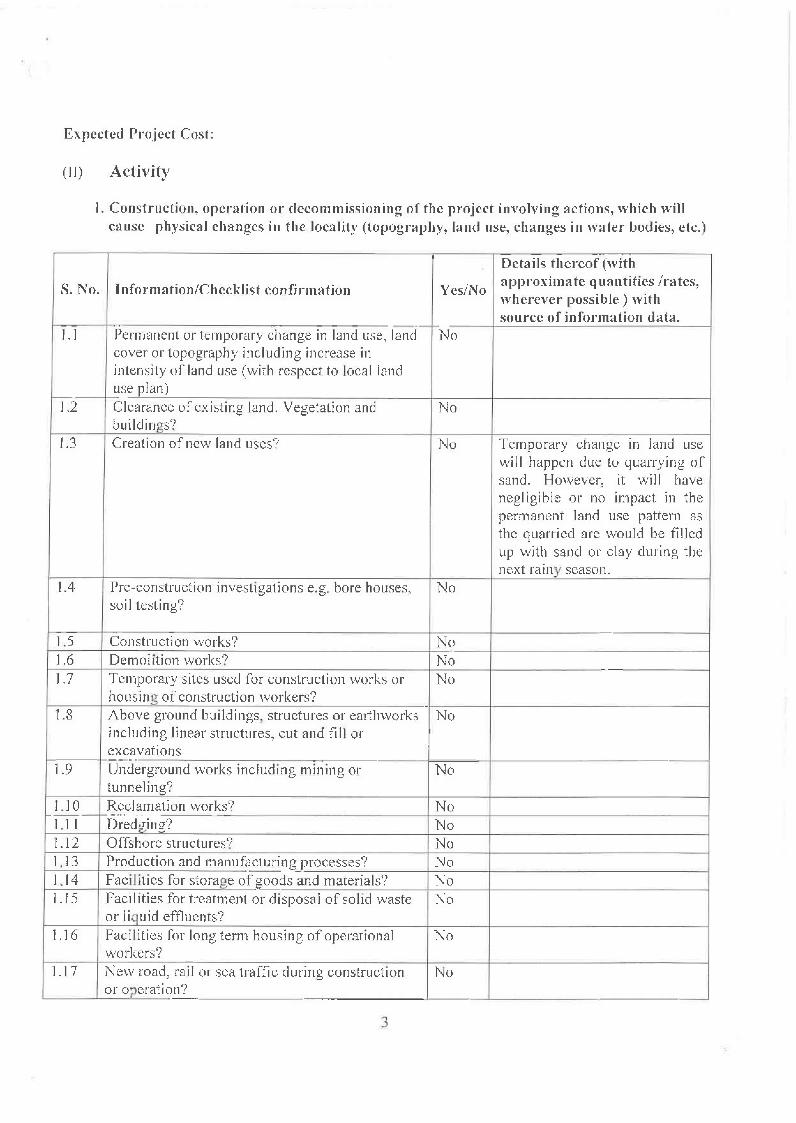
Expected Project Cost:
(1I) Activity
I. Construction, operation or deco mmissioning of the project involv ing actions, wh ieh willcause physical changes in the locality (topography, land use, changes in water bodies, etc.)
Details thereof (with
S. No. Inforrnation/Chcckl ist confirmation Yes/No approximate quantities /rates,wherever possible) withsource of information data.
--- f-1.1 Permanent or temporary change in land use, land Nocover or topography including increase inintensity of land use (with respect to local land
I--- use plan)1.2 Clearance of existing land, Vegetation and No
buildings?1.3 Creation of new land uses? No Temporary change in land use
will happen due to quarrying ofsand. However, it will havenegl igi ble or no impact in thepermanent land use pattern asthe quarried are would be filledup with sand or clay during thenext rainy season.
1.4 Pre-construction investigations e.g. bore houses, Nosoil testing?
1.5 Construction works? No1.6 Demolition works? No1.7 Temporary sites used for construction works or No
housing at' construction workers? .1.8 Above ground buildings structures or earthworks No
including linear structures, cut and fill orexcavations
1.9 Underground works including mining or Notunneling?
l.lO Reclamation works? No--.- - _ ...1.1 ] Dredging? No1.12 Offshore structures? No1.13 Production and manufacturing_processes? NoLl4 Facilities for storage of goods and materials? NoUS Facilities for treatment or disposal of solid waste I No
or liquid effluents?1.16 Facilities for long term housing of operational No
workers?1.17 New road, rail or sea traffic during construction No
or operation?
3

1.18 New road, raj I, air water borne or other transport No
Iinlrastructu re incl ud i11g new or a ltcrcd routes andstations, ports, airports etc?
1,19 C JOSLI rc or d iversion 0 r ex ist ing transport routes Noor illfrastructurc lead ing to changes in Ira fficmovements?
1,20 New or diverted transrn iss ion lines or pipcl ~nes? No1,21 impound rnent, damrn ing, eLi lverting, real ign rnent No
or other changes to the hydrology of watercoursesor aquifers?
),22 Stream crossings? No ,1---.1.23 Abstraction or transfers of water from ground or No
surface water?1.24 Changes in water bodies or the land surface No
affecting drainage or run-off?1.25 Transport of person nel or materials for No
construction, operation or decommissioning?1.26 Long-term dismantling or decommissioning or No
restoration works?1.27 Ongoing activity during decommissioning which No
could have an impact on the envi::?~l.1]_ent?1.28 Infl UK of people to an area in either temporari ly No
o~perman en tly? _ ..1.29 Introduction of alien species? No1.30 Loss of native species or genetic diversity? No_ ...1.31 Any other actions? No
2. Use of Natural resources for construction or operation of the project (such as land, water,materials or energy, especially any resources which are non renewable or in short supply):
Details thereof (with
S. No Information/checklist confirmation YcslNo approximate quantities /rates,wherever possible) with source ofinformation data.
2.1 Land specially undeveloped or agricultural land No(ha)
2.2 Water (expected source & competing users) unit: NoKJ.,D
2.3 M~nerals (MT) No2.4 Construction material- stone, aggregates, and No
/soil (expected source -MT)2.5 Forests and timber (~C:~T~e MT) No2.6 Energy including electricity and fuels (source, No
c01..!:p~ting users) UnI~ : fuel (lv1T), energy (MW)2.7 Any other natural resources (use appropriate No
standard units)
4

3. Usc, storage, transport, handling or production of substances or materials, which could beharm ful to h u rna II health or the en vi ron IIIent or raise concerns ahou t actual or perceived risks toh 1I III an health.
Details thereof (with
S.No. IIIformation/Checklist confirma tion Yes/Noapproximate quantities /rates,wherever possible) with source ofinformation data.
3.1 Use of substances or materials, which are Nohazardous (as per MSIHC rules) to human healthor the environment (flora, fauna, and watersueplies)
3.2 Changes in occurrence of disease of affect Nodisease vectors (e.g. insect or water bornediseases)
3.3 A ffect the wei fare of people e.g. by chang ing Noliving conditions?
3.4 Vulnerable groups of people who could be Noaffected by the project e.g, hospital patients,children, the elderly etc
3,5 Any other causes. No
4. Production of solid wastes during construction or operation or decommissioning (MT/month)
Details thereof (with
S. No. Tnformation/Checklist confirma tion Yes/Noapproximate quantities /rates,wherever possible) with source ofinformation data.
I4. ! Spoil, overburden or mine wastes No4.2 Municipal waste (domestic and or commercial No
wastes)4.3 Hazardous wastes (as per Hazardous Wastc No
Management Rules)4.4 Other indust.rial process wastes I No4.5 Surplus product No4.6 Sewage sludge or other sludgc from effluent No
treatment.-4.7 Construction or demolition wastes No4.8 Redundant machinery or equipment No
1---
4.9 Contaminated soils or other materials No"-
4.10 Agricultural wastes No ~4.11 Other solid wastes No-.- "-
5

5. Release or poilu ta n ts or any haza rdous, tox ic or noxious s u bsta 1H...cs to air (Kg/In)
Derails thereof (with
S.No. J nforrna tion/C hecklist confirma tion Yes/No approximate quantities /rates,wherever possible) with source of
I information data.5.1 Em ission s flam combustion or fossi I rue Is from No
f--- stationary or mobile sources5.2 Emission from production processes No5.3 Emissions from materials handling including No
storage or transportSA Emissions from construction activities including No
plant and cq~ipment5.5 Dust or odours from handling of materials No
including construction materials, sewage andwaste
5.6 Emissions from incineration of waste No5.7 Emission from burning of .waste in open air No
(e.g.lmateri al s, construction debris)5.8 Emissio.~from any other sources No
6. Generation of Noise and Vibration, and Emissions of Light and Heat:
Details thereof (with
S.No. In fa rma tion/Ch eckli st confi rrna tion YeslNo approximate quantities /rates,wherever possible) with source ofinformation data,
6.1 From operation of equipment e.g. engines, Noventilation plant; crushers
6.2 From industrial or sim;fa~ processes No6.3 From construction or demolition No---6A From blasting or piling No6.5 From construction or operational traffic No6.6 From lighting or cooling systems I No -6.7 From any other sources No
7. Risks of contamination of land or water from releases of pollutants in to the ground or in tosewers, surface waters groundwater, coastal waters or the sea:
Details thereof (with
S. No. Information/Checklist can firma tion Yes/No approximate quantities /rates,wherever possible) with source ofinformation data ..
7.1 From handling, storage, use or spillage of Nohazardous materials1----
7.2 From discharge sewage or other effluents to No'-
6
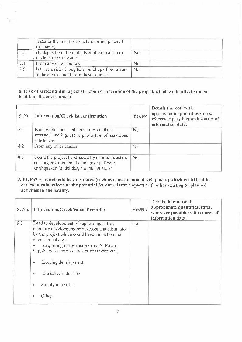
r- --I I water 01' the land (expected mode and place of~-i- discharge) _I 7.3 18y deposition of poilu tan Is emitted to air in to No[ the land or in to water!74 From any other sources NoI •
17.S Is there a risk of long term bu ild up of po IIutants I NoI in the envi ronment from these sources'?
8. Risk of accidcn ts during construction or opera tion of the project, ' ••..h ich could affect h uma nhealth or the environment.
I Details thereof (with
S. No. Information/Checklist con firma tion YeslNo approximate q uan tities /rates,wherever possible) with source ofinformation data .
From explosions, spillages, fires etc from..._-
8.1 Nostorage, handling, use or production of hazardoussubstances
8.2 From any other causes No
8.3 Could the project be affected by natural disasters Nocausing environmental damage (e.g. floods,earthquakes, landsl ides, cloud burst etc.)?
9. Factors which should be considered (such as consequential development) which could lead toenvironmental effects or the potential for cumulative impacts with other existing or plannedactivities in the locality.
Details thereof (with
S. No. In fo rma ti oDIC heeklist eonfirma rio n YcslNo approximate quantities /rates,wherever possible) with source ofinformation data.
9.1 Lead to development of supporting. Lities, Noancillary development or development stimulatedby the project which could have impact on theenvironment e.g.:• Supporting infrastructure (roads. PowerSupply, waste or waste water treatment, etc.)
• Housing development
• Extractive industries
• Supply industries
• Other
7

:l)? Lead to (Iller-usc ofthe site. which could have an No Temporary change in land Lise willI .-impact on the environ men 1 h(lppen due to quarrying of sand.
I However. it \-\'i II have negl igi blc or
Ino impact In the permanent landusc pattern as the quarried mewou ld be II lied up with sand orclay during the next rainy season.
9.3 Set (Iprece?cllt lor latter developments No9.4 Have cumulative effects due to proximity to No
other existing or planned projects with similareffects
(III) Environmental Sensitivity
Name/ Aerial distance (within 15 krn.)S. No. Areas Identity Proposed project location
boundary1 Areas protected under international conventions No
national or local legislation for their ecological,landscape, cultural or other related value
2 Areas which arc important or sensitive for Noecological reasons-Wetlands, watercourses orother water bodies, costal zone, biospheres,mountains, forests
3 Ares used by protected, important or sensitive Nospecies of flora or fauna for breeding, nesting,foraging, resting, over wintering, migration
4 Inlan~, costal, marine or underground waters No5 State, national boundanes No I6 Routes or facilities used by the public for access No
to recreation or other tourist, pilgrim areas7 Defense installations No8 Densely populated or built-up area No9 Areas occupied by sensitive man-made land No
uses (Hospitals, schools, places worship,community facilities)
10 Areas containing important, high quality or Noscares resources(Groundwater resource, forestry, agriculture,fisheries, tourism, minerals)
II Areas already subjected to pollution or Noenvironmental damage. (th ose where existinglegal environmental standards are exceeded)
f----
12 Areas susceptible to natural hazard which could Nocause project to present environmentalproblems(earthquakes, subsidence, land slides, erosion,flooding or extreme or adverse climaticconditions)
8
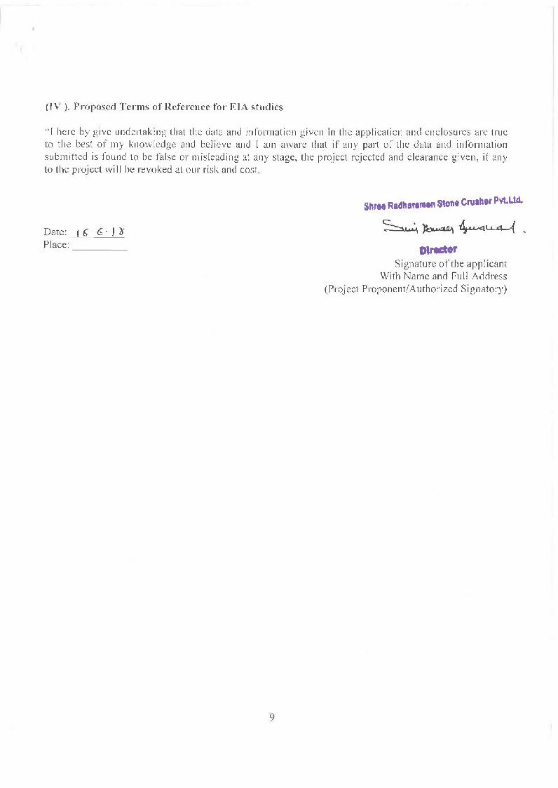
(IV). Proposed Terms of Reference for EIA studies
;. J here by gi ve u ndertak in g that the data and in 1'0 rm a! ion given in the app J icat ion and en c losu res arc trueto the best of my knowledge and believe and I am aware that if any part of the data and in/ormationsubmitted is found to be false or misleading at any stage, the project rejected and clearance given, if anyto the project will be revoked at our risk and cost.
SnrH Radha,.men Stone eru.her Pvt.Ud.
Date:~6· , ~Place: _
s....., ..~~~~ ,I)lredOr
Signature of the applicantWith Name and Full Address
(Proj eel Proponent! Authorized Signatory)
9