ymc implementation plan workshop jakarta, 24-26 … · ymc implementation plan workshop jakarta,...
TRANSCRIPT

YMC IMPLEMENTATION PLAN WORKSHOPJAKARTA, 24-26 NOVEMBER 2015
Prof. Dr. Edvin AldrianDirector of Center for Research and Development –
BMKGEmail: [email protected]

Introduction BMKG Proposal
ObjectivesOutcomesResearch DetailsObservations / Field Campaign InstrumentsCurrent instruments on R&D Center


It is an international framework for international collaboration on field observations and modelling
The aim of YMC:To understand the role of the Maritime Continent (MC) in the global weather-climate continuum

Ocean-Atmosphere-Land interactions over the coastal upwelling & inland regions
Modulation of MJO propagation Effect of ITF and mixing onto SST distribution Diurnal cycle of convective activity Aerosol and their interaction with clouds Monsoons Troposphere-stratosphere interaction and
dehydration process in the tropical tropopauselayer (TTL)


1. To gain a comprehensive understanding of: Local circulation, Sea interaction in the Indonesia MC, Diurnal precipitation and cloud cycle, MJO cycle and variability, Dipole Mode (DM) and ENSO, Quasi-Biennial Oscillation (QBO), Tropospheric Biennial Oscillation (TBO), Monsoon, ITF transport.

2. To strengthen weather and climate modelling on Indonesia MC using assimilation with observational data and be able to simulate daily to weekly extreme conditions.
3. To develop a monitoring system of the ITF and its influence on weather/climate formation and SST diurnal cycle during active and non-active MJO phases.

Developing a monsoon and MJO detection system Assessing Mesoscale Convective System (MCS) characteristics Assessing aerosol characteristics in the IMC and its impact to
climate Understanding SST diurnal cycle related with active and non-
active MJO phases Acquiring information on object propagation for Search and
Rescue (SAR) operation and pollutant trajectories Establishing WRF-DA based weather prediction system which
assimilated with radio sonde, satellite, and synoptic data Acquiring information on real time surface wind, wave, and
current Enhancing the understanding of upwelling and developing a
monitoring system of the ITF

1. Detection of monsoon onset and withdrawal2. MJO: prediction and impact assestments3. Mesoscale Convective System: better
understanding of MCS characterictics at each phase & impact to wind and precipitation
4. Improving model prediction skill: how to assimilate observation data into the model
5. Wave propagation: will be studied by using HF coastal radar system
6. Enhancement of upper air observations: increase the quantity of upper air observation
7. Aerosol and its impact to climate

• Mainly monsoonal• Three distinct rainfall climate regions
Three climate regions update previous work by Wyrtki, 1956
monsoonal
Semi-monsoonal Anti-monsoonal


Colour indicates 10 days
Area with rainfall > 50mm/10 days (Non Monsoon)
Areas with rainfall < 50mm/10 days (Non Monsoon)

Colour indicates 10 days
Area with rainfall > 50mm/10 days (Non Monsoon)
Areas with rainfall < 50mm/10 days (Non Monsoon)
Rainy Season onset (TRMM data 1998-2010)

Predicted on April 2015
Dry Season Area by May 2015
Predicted on May 2015 The “shifting” between “initial” seasonal onset prediction and the “real” one pose a challenge to the Agency, not only concerning the methodology but also the way how to disseminate this correctness timely and properly to end users and interface institutions;

0
20
40
60
80
100
120
140
10% 20% 30% 40% 50% 60% 70% 80% 90% 95% 99%
mm
percentile
Hujan Lebat
Hujan Sangat Lebat
rataan

0
20
40
60
80
100
120
140
1 6 11 16 21 26 31 36
mm
i-th decade
Average of decadal precipitation and evaporation in Negara1999-2014
precipitation evaporation
Dekad (10 days) Minimum rainfall in dekad (mm)
Wet season onset 27.1 44.6
Dry season onset 11.9 41.3

YearTrue Onset BMKG
Start End Start End
1999/2000 29 17 29 11
2000/2001 31 17 31 11
2001/2002 36 11 36 8
2002/2003 31 13 31 7
2003/2004 26 9 26 9
2004/2005 32 12 32 11
2005/2006 28 15 28 13
2006/2007 3* 11 3* 11
2007/2008 29 10 35 9
2008/2009 33 15 33 10
2009/2010 36 -- 11* --
2010/2011 -- 15 -- 3
2011/2012 29 14 29 9
2012/2013 34 21 34 21
2013/2014 35 14 35 9
Notes:* Falls on the same year-- 2010 wet season all year long

0
50
100
150
200
250
1 6 11 16 21 26 31 36
mm
i-th decade
Average of decadal precipitation and evaporation in Ngurah Rai2003-2014
precipitation evaporation
Dekad (10 days) Minimum rainfall in dekad (mm)
Wet season onset 32.7 63.4
Dry season onset 9.4 56.9
MJO signal is prevalent

Mean diurnal cycle: peaks in the late afternoon and a minimum before noon
A shift in the afternon rainfall into the evening (preceded by a depletion during late afternoon precipitation in the recent time)
The morning precipitation peak becomes increasingly more pronounced as time proceeds, leading to a semi-diurnal pattern
A considerable maximum temperature increase during day-time by as much as 1.8 ̊C between 1901 – 1910 to 1971 –1980, while the minimum night – time temperature increases only by 0.5 ̊C
In contrast, the minimum night--‐time temperature increase between period 1971—1980 to 2001-2010 is pronounced with about 2 ̊C
urbanisation? UHI?
Source: Siswanto et al. (2015)

► Higher risk of flood and drought
► Quasi Biennial oscillation is prevalent
Birowo (195m)
y = 0.1994x - 315.1
0102030405060708090
100
1955 1965 1975 1985 1995 2005Year
Rat
io (%
)
Wates Sawahan (620m)
y = 0.1614x - 241.69
0102030405060708090
100
1955 1965 1975 1985 1995 2005Year
Rat
io (%
)
Aldrian and Djamil 2008, Intl J Climatol

Ensemble El Niño events during 1960-1991 against climatology

Ensemble La Niña events during 1960-1991 against climatology

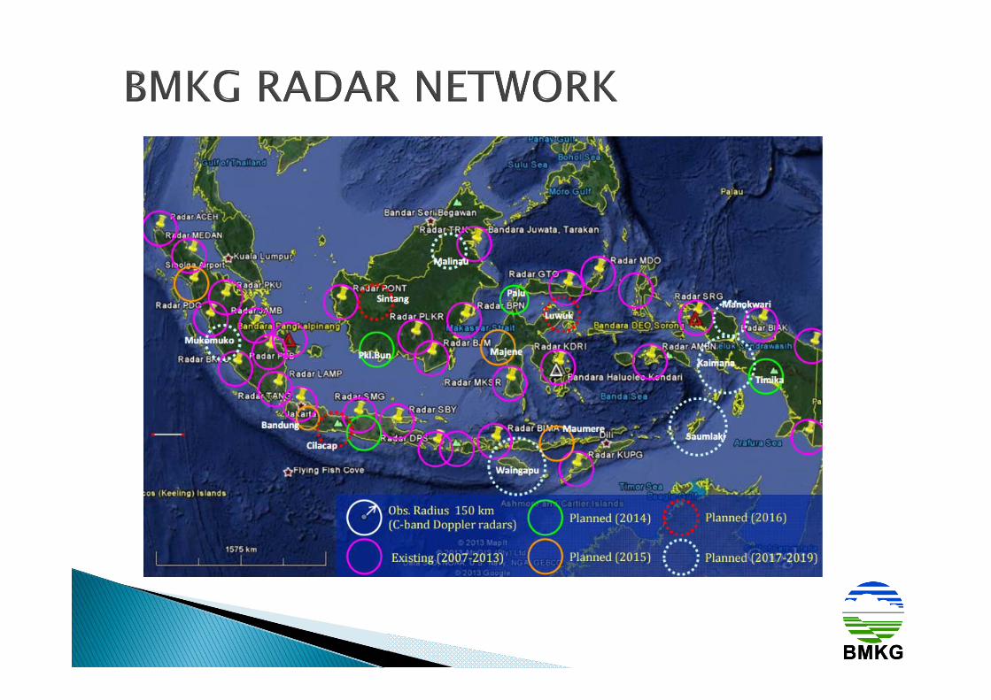
Upper-air observations Surface weather observations (rainfall,
temperature, humidity, solar radiation, pressure, and wind direction and speed)
Ocean current observation Ocean wave (significant wave and
directional spectra) Ocean currents observation Sea surface temperature observation

1. Seaglider [for observation in Karimata Strait]2. Ship charter 3. Radiosonde4. Rawinsonde [will be launched 4 times per day;
launching sites: Surabaya, Kupang, Natuna, Ambon, Manado]
5. Portable Weather Station (PWS)6. 10 (ten) Automatic Weather Station (AWS) [station
sites: Pekanbaru, West Sumatera, Jakarta, Pontianak, Balikpapan, Biak, Langkat, South Aceh, Southeast Aceh (Bukit Barisan Mountains), Pematang Siantar]

7. 4 (four) High Frequency Coastal Radar [sites: Bengkulu, West Kalimantan, South Sulawesi, and northern coast of Java]
8. 5 (five) coastal buoys [sites: Karimata Strait, central part of Java Sea, central part of Makassar Strait, south coast of Java, and Banda Sea]
9. Sun Photometer CIMEL Electronique10. 5 (five) Sun-Photometer Handheld Microtops II
Solar Light, sites: Palangkaraya, Pontianak, Jambi, Sorong, and Makassar
11. Pyrheliometer12. High Performance Computing Server (HPC Server) 13. Data storage

On development phaseCurrent
LIDAR
WINDCUBESEA GLIDER
MINI WEATHER RADAR X BAND

WEB BASED MULTI GAS SENSOR(CO, CO2, NO2, SO2, TEMP, RH)
CURRENT
SOIL HEAT FLUX METER
WAVE RECORDER
PWS
RADIOSONDE SENSOR
