tr a i l 3 . 1 pe ak sto lin tr e l k - wordpress.com · pe ak sto lin tr u nde rc os tuc i opens...
TRANSCRIPT
!j
!j
!j
!j
!j
!!ú
!!ú
!! ú
!! ú
PlacerBridge
CannonballBridge
Clear CreekCanyon Park
MayhemGulchBridge
Mayhem GulchTrailhead
Big EasyRecreation
Area
ConservationEasement held
by Colorado StateForest Service
ConservationEasement held
by MALT
ConservationEasement heldby Clear Creek
Land Conservancy
CentennialCone Park
JE
FF
ER
SO
N C
OU
NT
YJ
EF
FE
RS
ON
CO
UN
TY
CL
EA
R C
RE
EK
CO
UN
TY
CL
EA
R C
RE
EK
CO
UN
TY
Clear CreekCounty
Open Space
119
6
6
Elk Range Trail 3.1
Travois Trail 0.4
Juniper Trail 0.8
Mayhe
m Gulch Trail 0. 8
Mayhem Gulch Trail 1.5
Travois Trail 7.4
North ClearCreek
C lear Creek
Clear Creek
CentennialCone Park
DRCOGG
Date
: 10/7
/2016
Docu
ment
Path:
M:\G
IS\2_
Team
s\2_2
_Plan
ning\T
eam_
Proje
cts\20
16\20
1601
05_P
2P_P
rojec
t\GIS
\Mxd
s\Blog
_Pos
t_201
6100
7\P2P
_Trai
l_Con
struc
tion_
11x1
7_La
ndsc
ape_
2016
1006
.mxd
Crea
ted by
: Jeff
erson
Cou
nty O
pen S
pace
Disclaimer: This information/map is the property of theJefferson County Open Space Program (JCOS), Jefferson County, Colorado and is copyrighted material. Reproduction,manipulation or distribution of this product is prohibitedwithout the prior written consent of JCOS staff. JeffersonCounty does not warrant the completeness, accuracy, orcorrectness of this product, its use for any purpose, andshall not be liable for damages of any kind arising from useof the product or for any errors or inaccuracies.
0 0.25Miles
Scale is 1:11,000 when printed at 11"x17"
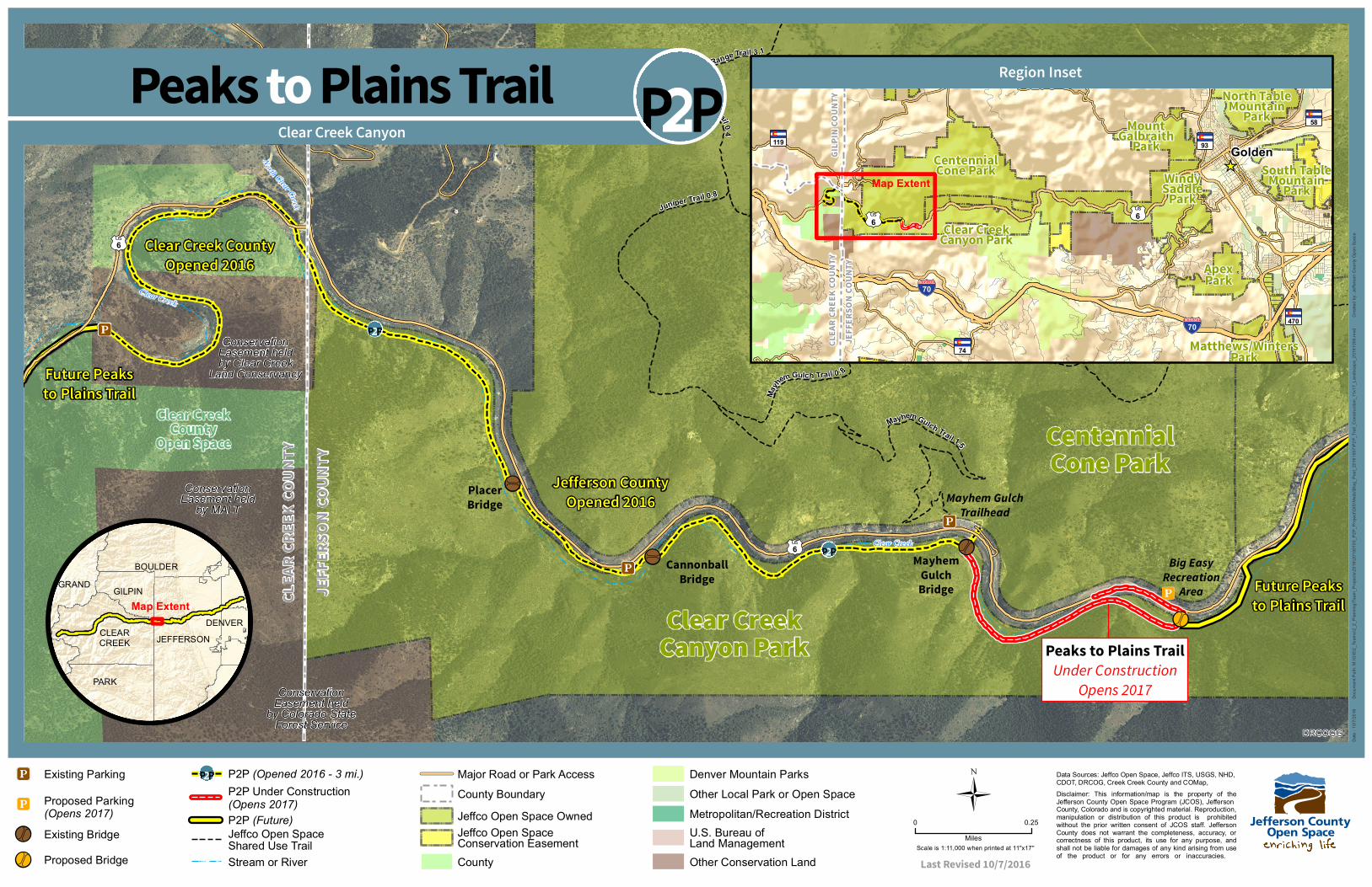
Peaks to Plains Trail
Data Sources: Jeffco Open Space, Jeffco ITS, USGS, NHD,CDOT, DRCOG, Creek Creek County and COMap,
Last Revised 10/7/2016
Clear Creek Canyon
Ü
BOULDER
CLEARCREEK
DENVER
GILPINGRAND
PARK
JEFFERSON
Clear Creek County
Opened 2016
Jefferson County
Opened 2016
Future Peaks
to Plains Trail
Future Peaks
to Plains TrailMap Extent
U.S. Bureau ofLand ManagementOther Conservation Land
Denver Mountain Parks
Metropolitan/Recreation DistrictOther Local Park or Open Space
Peaks to Plains Trail
Under Construction
Opens 2017
Jeffco Open SpaceShared Use Trail
!j Existing Parking
Proposed Bridge!! ú
Existing Bridge
!! ú
!j Proposed Parking(Opens 2017)
P2P (Opened 2016 - 3 mi.)P2P Under Construction(Opens 2017)P2P (Future)
Stream or River
Jeffco Open Space Owned
County
Jeffco Open SpaceConservation Easement
Major Road or Park AccessCounty Boundary
_̂Map Extent
Clear CreekCanyon Park
JE
FF
ER
SO
N C
OU
NT
YJ
EF
FE
RS
ON
CO
UN
TY
CL
EA
R C
RE
EK
CO
UN
TY
CL
EA
R C
RE
EK
CO
UN
TY
GIL
PIN
CO
UN
TY
GIL
PIN
CO
UN
TY
ApexPark
MountGalbraith
Park
North TableMountain
Park
South TableMountain
ParkWindySaddle
Park
CentennialCone Park
Matthews/WintersPark
Golden119
6
74
470
93
58
6
70
70
Region Inset