tom chao zhou, cuhk 1 wireless sensor network speaker: tom chao zhou feb, 23rd@3dlbs study group...
TRANSCRIPT

Tom Chao Zhou, CUHK 1Tom Chao Zhou, CUHK 1
Wireless Sensor Network
Speaker: Tom Chao Zhou
Feb, 23rd@3DLBS Study Group
Subtopic: Sensor Technology
Tom Chao Zhou, CUHK 2Tom Chao Zhou, CUHK 2
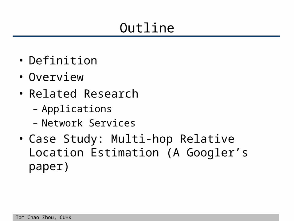
Outline
• Definition• Overview• Related Research
– Applications– Network Services
• Case Study: Multi-hop Relative Location Estimation (A Googler’s paper)
Tom Chao Zhou, CUHK 3Tom Chao Zhou, CUHK 3
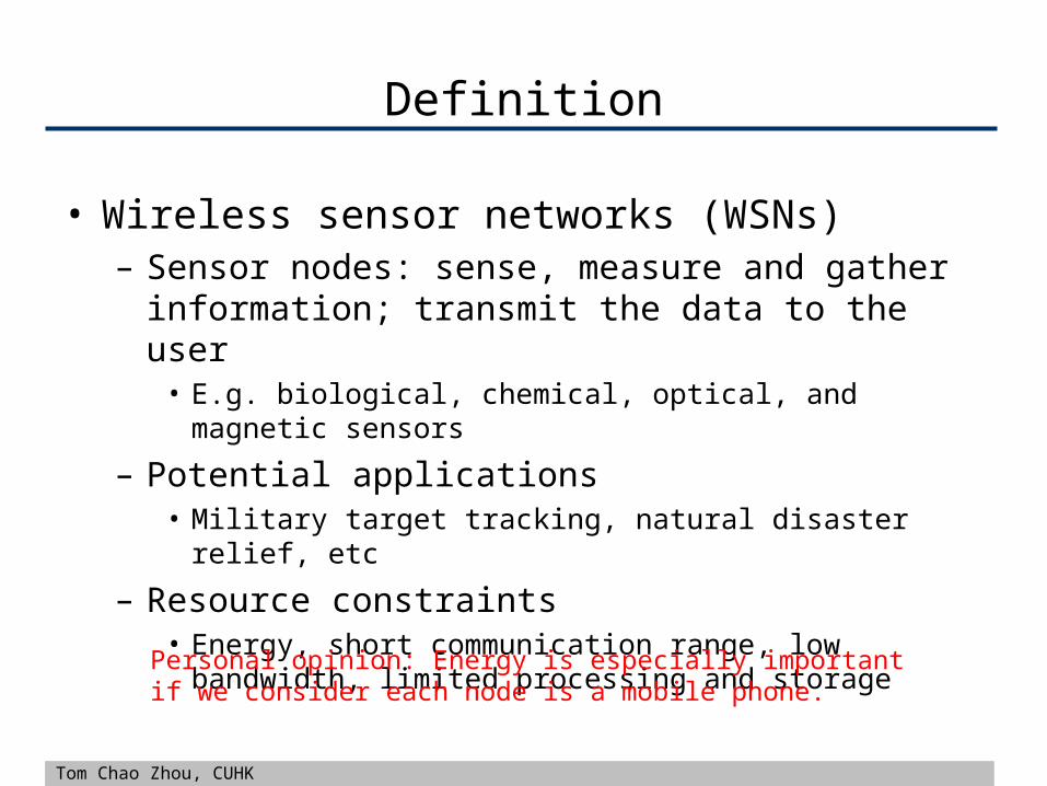
Definition
• Wireless sensor networks (WSNs)– Sensor nodes: sense, measure and gather information;
transmit the data to the user• E.g. biological, chemical, optical, and magnetic sensors
– Potential applications• Military target tracking, natural disaster relief, etc
– Resource constraints• Energy, short communication range, low bandwidth, limited
processing and storage
Personal opinion: Energy is especially important if we consider each node is a mobile phone.

Tom Chao Zhou, CUHK 4Tom Chao Zhou, CUHK 4
Overview
Tom Chao Zhou, CUHK 5Tom Chao Zhou, CUHK 5
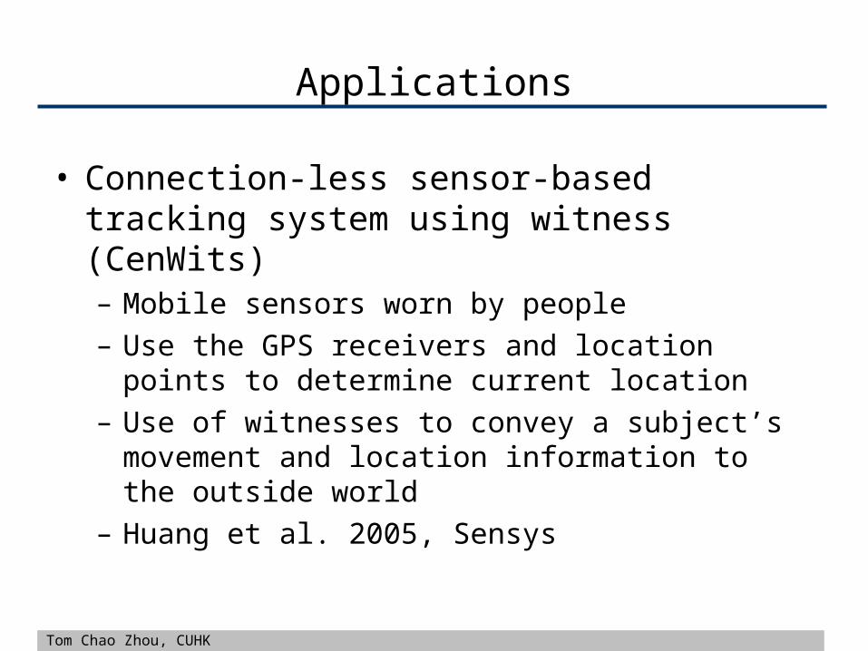
Applications
• Connection-less sensor-based tracking system using witness (CenWits)– Mobile sensors worn by people– Use the GPS receivers and location points to determine
current location– Use of witnesses to convey a subject’s movement and
location information to the outside world– Huang et al. 2005, Sensys

Tom Chao Zhou, CUHK 6Tom Chao Zhou, CUHK 6
Application
• ZebraNet– Mobile wireless sensor network used to track animal
migrations– Positional readings are taking using the GPS– Sent multi-hop across zebras to the base station– Zhang et al. 2004, Sensys

Tom Chao Zhou, CUHK 7Tom Chao Zhou, CUHK 7
Network Services
• Localization– Problem of determining the node’s location
• Synchronization– Time synchronization in a wireless sensor network is
important for routing and power conservation– Apply time synchronization methods in data
synchronization? E.g. p2p data

Tom Chao Zhou, CUHK 8Tom Chao Zhou, CUHK 8
Localization
• Existing methods– Global positioning system (GPS)
• GPS receiver• Pros: simple• Cons: not work if there are obstructions
– Beacon (or anchor) nodes• Beacon nodes, which know their own position• Cons: does not scale well in large networks (may not be true in
3DLBS, wifi spots)
– Proximity-based localization• Use neighbor nodes to determine their location; act as beacons

Tom Chao Zhou, CUHK 9Tom Chao Zhou, CUHK 9
Localization
• Moore’s algorithm (Moore et al., 2004, Sensys)– Distributed localization algorithm, use of a robust
quadrilateral.
• Secure localization (Srinivasan et al., 2007)– Securing the localization process, rely on beacon
information.
Tom Chao Zhou, CUHK 10Tom Chao Zhou, CUHK 10
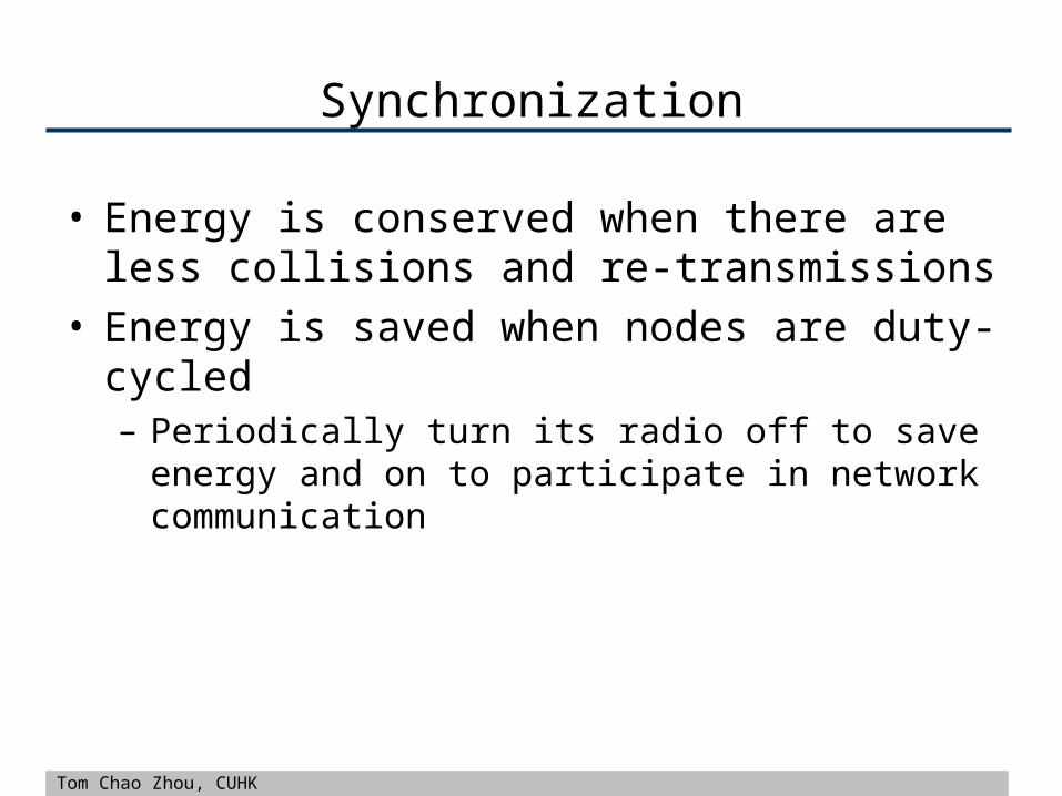
Synchronization
• Energy is conserved when there are less collisions and re-transmissions
• Energy is saved when nodes are duty-cycled– Periodically turn its radio off to save energy and on to
participate in network communication

Tom Chao Zhou, CUHK 11Tom Chao Zhou, CUHK 11
Synchronization
• Uncertainty-driven approach (Ganeriwal et al. 2005)– Modeling long-term clock drifts between nodes to
minimize duty-cycling overheads
• Lucarelli’s algorithm (Lucarelli et al. 2004)– Bi-directional nearest-neighbor coupling
• Clock-sampling mutual network synchronization– Rentel et al. 2005– Distributed and autonomous network synchronization– Non-hierarchical
Tom Chao Zhou, CUHK 12Tom Chao Zhou, CUHK 12
Case Study
• On the Accuracy of Multi-hop Relative Location Estimation in Wireless Sensor Networks
• Youssef et al. 2007, IWCMC• Goal
– Analyze the accuracy of multi-hop relative location estimation and study the different sources of errors
– Present the Multi-hop Relative Location Estimation (MRLE) algorithm which avoids reflection error

Tom Chao Zhou, CUHK 13Tom Chao Zhou, CUHK 13
Relative Coordinate System (RCS)
• Estimate nodes’ positions relative to a coordinate system established by a reference group of nodes– R0,R1,R2
• A RCS can be transformed to absolute coordinate system by using only three anchor nodes in 2D (or four anchors in 3D)
Note: we only need a proximity measure between nodes

Tom Chao Zhou, CUHK 14Tom Chao Zhou, CUHK 14
Multi-hop Relative Position Estimation
• A node u knows distances to three non-colinear identified neighbors.
u2 is the reflection of u1 across the base line
R2 is the reflection resolver

Tom Chao Zhou, CUHK 15Tom Chao Zhou, CUHK 15
Reflection Error
• Reflection propagation error
Measured distances contain error.

Tom Chao Zhou, CUHK 16Tom Chao Zhou, CUHK 16
Reflection Error
• Skinny triangles
• Have the RCS near the center of the network

Tom Chao Zhou, CUHK 17Tom Chao Zhou, CUHK 17
MRLE
• Adding R0, R1, R2 to the set of identified nodes.• Iteratively estimate an unidentified node u
– Select base line as far as possible from u– Resolver node, the neighbor to u with the highest altitude
from the base line

Tom Chao Zhou, CUHK 18Tom Chao Zhou, CUHK 18
Open Research Issues (Personal)
• This approach assumes wireless sensor nodes are static, how to handle dynamic cases if we consider people who have mobiles moving around?
• This approach assumes there is only one gateway, how about if there are multiple gateways? (In a shopping mall, we have multiple wi-fi routers (gateways))

Tom Chao Zhou, CUHK 19Tom Chao Zhou, CUHK 19
References
• Wireless sensor network survey• On the Accuracy of Multi-hop Relative Location
Estimation in Wireless Sensor Networks• Localization and Tracking in Sensor Systems

Tom Chao Zhou, CUHK 20Tom Chao Zhou, CUHK 20
• Thanks!• Q & A