spatial distribution of soya bean crop: a case study of ....pdf · cultivated in kharip season and...
TRANSCRIPT

International Journal of Science and Research (IJSR) ISSN (Online): 2319-7064
Impact Factor (2012): 3.358
Volume 3 Issue 12, December 2014 www.ijsr.net
Licensed Under Creative Commons Attribution CC BY
Spatial Distribution of Soya Bean Crop: A Case Study of Akole Tahsil, M.S, India,
(2001 to 2010-11)
Dr. Khemnar Shivaji Bhagwan
HOD and Assistant Professor, Department of Geography, Agasti Arts Commerece and D.R. Science College, Akole, Tal. Akole, Dist. Ahmednagar, Savitribai Phule Pune University, M.S, India
Abstract: In the study area farmers have adopt partially modern technology i.e. drip irrigation facility, HYV seeds material, sugarcane, fruits, vegetables, food grain and other crops, increasing uses of composting biomass, machineries, improved plantation technology and micro irrigation systems, available for nearby village inputs (seeds, fertilizers, insecticides, cattle feeds and veterinary services), agricultural labour, bullock power, crop loans, electricity, irrigation, dairy centers and processing units, nearby sugar factory, good network of transports and markets, good communication facilities, agricultural advisory centers etc are available in the study area. Therefore, recently agricultural activities are positively increasing on the day by day. Mostly, eastern part of the study area is concentrate in the rice crop because of these areas situated in the hilly and heavy rainfall. Only Akole circle have leading all crops (various seasons) are grown and needs for market demanding crop. About 80 percent population depends directly upon land middle and eastern part of the Akole tahsil. The area under Soya bean cultivation in the tahsil is about 4,607 hectares on 6.33% in 2010-11.The objective of the study is to study Soya bean distribution and to study in changes 10 years cultivation (Soya bean crop). Keywords: Soya bean Distribution, Modern Techniques, Available inputs, Crop Pattern and Hilly Areas. 1. Introduction Akole Tahsil is well surrounded with the mountainous of Sahyadries. It’s located at western part of Ahmednagar District, in the state of Maharashtra. In these tahsil Bhandardara, Nilwande and Adhala reservoir, large number of Small tanks, minor irrigation projects or peculation tanks, Pravara, Mula, Adhala and Mahalungi are important four rivers and also covered by co-operative sugar factory, dairy milk, rice mills, banks and various co-operatives thrive here. The economy of the tahsil is driven mainly by agriculture of sugarcane, rice, horticulture, floriculture and various major cash crop of the study area. In the hilly region, climate is slightly cool. Factory making sugar from sugarcane is located at Agastinagar (Agasti S.S.K Ltd. Jamgaon Akole tahsil). 2. Study Area The study area Akole is a Tahsil place in Ahmednagar district, state of Maharashtra in India. Well surrounded with the mountains of Sahyadri, extends between 190 15’ 14’’ and 190 44’ 59’’ North Latitude and 730 37’ 00’’ to 740 07’ 24’’ East Longitudes, covering an area of 1, 50,508 hector (Map no.1). The Highest Peak of Kalsubai (5427 feet) in the Sahyadris with a mean annual rainfall of about 508.9 mm. lies in the study area. Area under forest in 41,698 hectors and agriculture land 98,712 hectors. Total Villages 191 and 4 (Four) Revenue Circles namely Rajur, Akole, Samsherpur and Kotul. Total population is 2, 91,950 Census 2011 (No. of Male 1, 47,880 and No. of Female 1, 44,070), literacy 1, 92,461 persons and one of which 1, 39,730 (ST) Tribal people in this area. The climate of the tahsil is hot and dry. It is characterized by a hot summer and general dryness except during the south-west monsoon season in India.
Map No.1: Location Map
3. Data and Methodology The present discussion on Soya bean cultivation (2001 to 2011) in akole tahsil with the help of Secondary Sources. Crop Distribution was prepared with the help of Arc GIS 10.1 and Arc View 3.32 software packages. Thematic map related to study area was prepared by using SOI Toposheet of 1: 50000 scale as the raster maps.
Paper ID: SUB14748 1503

International Journal of Science and Research (IJSR) ISSN (Online): 2319-7064
Impact Factor (2012): 3.358
Volume 3 Issue 12, December 2014 www.ijsr.net
Licensed Under Creative Commons Attribution CC BY
4. Result and Discussion In four circles, namely - Akole, Kotul, Rajur and Samsherpur collected data mentioned percentage. The value of change shows highlights in the important changes (Table no. 1). The increase and decrease value of during 2000-01 and 2010-11 period is shown. It is observed that Soya bean is more significant crop which leads to akole and kotul circles and the rajur and samsherpur circle was less during in 2000-01 to 2010-11. These changes are well associated with the intensity of irrigation followed by modern inputs and coupled with improved farming techniques. 4.1 Soya bean (Kharip Oilseeds): Soya bean is an important oilseed crop grown in kharip season. During recent years, the area under Soya bean cultivation is increasing because of good market rates, effective dissemination of Soya bean production technology by extension functionaries and also due to village seed production programmed undertaken by department as a part
of Mahapic. It is being cultivated as rotational crop after harvesting of sugarcane. The area under Soya bean cultivation in the tahsil is about 4,607 hectares on 6.33% in 2010-11. The distribution pattern of Soya bean crop grown 22.44% in 2000-01 and 22.61% in 2010-11. The highest area under Soya been recorded in akole circle i.e. 11.43% in 2000-01 and 9.63% in 2010-11. 4.2 Spatial Distribution of Soya bean (2001 to 2011)
Table 1: (Source: Agriculture Dept. Akole Tahasil)
Sr. No Name of Circle
Year (Area in %) Volume of change (%)
2000-01 2010-11 2001 to 2011 1 Akole 11.43 9.63 - 1.8 2 Kotul 8.82 10.70 1.88 3 Rajur 0.44 0.49 0.05 4 Samsherpur 1.75 1.79 0.04
Total 22.44 22.61 0.17
Figure 1
Soya bean Crop Distribution in Akole Tahsil (2001 to 2010-11):
Map no. 2
Paper ID: SUB14748 1504
International Journal of Science and Research (IJSR) ISSN (Online): 2319-7064
Impact Factor (2012): 3.358
Volume 3 Issue 12, December 2014 www.ijsr.net
Licensed Under Creative Commons Attribution CC BY
In the study area, the Soya bean cultivation has found less than 2% in Rajur and Samsherpur circle. In Kotul and Akole circle have found more than 6% in Soya bean area. The value of change in 2001 to 2011 span of 10 years except in Akole circle increasing the area under Soya bean cultivation (Map no. 2, Table and Fig. no. 1). 5. Results It is observed from the study area, there is a grater variation in the changes land use and cropping pattern, during the study period i.e. 2000-01 to 2010-11. The major crops cultivated in kharip season and rabbi season are grown in the study area. Although the entire cropping pattern seems to be governed by agro-climatic conditions and irrigation has played a prominent role by changing the nature and extent of cropping pattern. The major crops cultivated in kharip season [June to October, November] are Rice, (Cereals) Bajra, (Pulses) mug, math, (Oilseeds) groundnut, Soya bean, kardai, jawas, sunflower, (Cash crops) Cotton etc. It is observed that the agricultural land use is decreasing during the study period. This is mainly because of the agricultural land is being converted into residential and other uses for the growth and development of the specific area of the study region. It is observed from the study area that there is a grater variation in the changes regarding to land use and cropping pattern, during the study period i.e. 2001 to 2011. 6. Conclusion This crop is cultivated only under kharip season in the study area. In the period of 2000-01, the high and medium concentrated area has been decline. In 2010-11 period, wherever low, medium and high concentration of soya bean was there increased in the study area (Map no. 2). In the study area farmers have adopt partially modern technology i.e. drip irrigation facility, HYV seeds material, sugarcane, fruits, vegetables, food grain and other crops, increasing uses of composting biomass, machineries, improved plantation technology and micro irrigation systems, available for nearby village inputs (seeds, fertilizers, insecticides, cattle feeds and veterinary services), agricultural labour bullock power, crop loans, electricity, irrigation, dairy centers and processing units, nearby sugar factory, good network of transports and markets, good communication facilities, agricultural advisory centers etc are available in the study area. Therefore, recently agricultural landuse and cropping pattern is positively increasing day by day in the study area. 7. Future Scope for Research To understand significance sound evolution and future planning for agriculture is consider for the study. The present study is very useful for social organization, N.G.O, Educational and Governmental Institutes, policies and Agro based small scale Industries in the future References [1] Dr. Khemnar Shivaji B. and Tupe B.K (Oct.2014):
‘Development of Land utilizes: Summarize in Akole
Tahsil (Ahmednagar District), M.S, India’, International Journal of Science and Research (IJSR), Volume 3 and Issue 10.
[2] Dr. Mhaske P.H and Tupe B.K (2014): ‘Demands of Changes in Cropping Pattern: A Case Study of Akole Tahasil (M.S, India)’, International Journal of Science and Research (IJSR), Volume 3 and Issue 5, 1314-19.
[3] Dr. Vaidya B.C (1997): ‘Agricultural Land use in India (A study in Yashoda Basin)’, Manek Publication Pvt. Ltd., New Delhi.
[4] Handbook of Agriculture (2011): ‘Indian Council of Agricultural Research (ICAR 6th Edition Revised)’, Directorate of Knowledge Management in Agriculture, New Delhi.
[5] India (2012): ‘A References annual’, complied by research, references and training division, published by the director general, publications division, ministry of information and broadcasting (56th edition), Govt. of India, New Delhi.
[6] Jasbir Singh and S.S Dhillon (2006): Agricultural Geography (3rd Edition), Tata Mcgraw Hill Publishing co. ltd, New Delhi.
[7] Report Official Information (2012-13): ‘Agriculture Department and Revenue Circle’, Village wise Cropping information-Talathi Office, Akole.
[8] Socio-Economic Abstract of Ahmednagar District (2011).
Author Profile
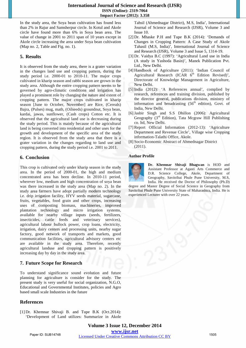
Dr. Khemnar Shivaji Bhagwan is HOD and Assistant Professor at Agasti Arts Commerce and D.R. Science College, Akole, Department of Geography, Savitribai Phule Pune University, M.S, India. He received the Doctor of Philosophy (Ph.D)
degree and Master Degree of Social Science in Geography from Savitribai Phule Pune University State of Maharashtra, India. He is experienced Lecturer with over 22 years.
Paper ID: SUB14748 1505