review projections etc. & data types & downloading
DESCRIPTION
FOR357/557. Review Projections etc. & data types & Downloading. or HOW TO GET CONFUSED. Overview. Review of Projections How to do Difference between Define and Project Scale Data Types GeoDatabase- orthophotos Coverage- images Shapefile Downloading. Overview. - PowerPoint PPT PresentationTRANSCRIPT

1
Review Projections etc. & data types & Downloading
or
HOW TO GET CONFUSED
2
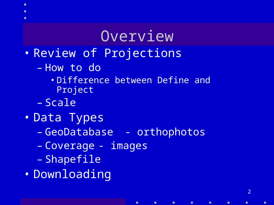
Overview• Review of Projections
– How to do• Difference between Define and Project
– Scale• Data Types
– GeoDatabase - orthophotos– Coverage - images– Shapefile
• Downloading
3
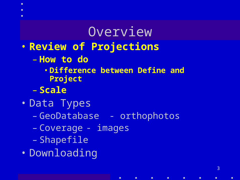
Overview• Review of Projections
– How to do•Difference between Define and
Project
– Scale• Data Types
– GeoDatabase - orthophotos– Coverage - images– Shapefile
• Downloading

4
Syracuse
On the Sphere

5
On the Flat Map
-76.19, 43.07
Extents

6
X, Y = Longitude, Latitude
Lines of constant LongitudeLines of constant Latitude
0-90 +90-180 +180
0
-30
30
-90
90
-60
60
Equator
Stretch the top
Stretch the bottom

7
X, Y = Longitude, Latitude
Lines of constant LongitudeLines of constant Latitude
0-90 +90-180 +180
0
-30
30
-90
90
-60
60
Equator
90E, 30N
90W, 30S
+90, +30
-90 -30
W76.15° N43.04°
-76.12° 43.08°

8
Projection data
• The .xml file is the metadata file you see in Catalog
• ArcGIS does NOT “see” the .xml file• It sees the .prj file

9
Xml vs. prj
• The xml file is created from the prj• It is a one way connection• In general, the extent of the file
will not change when you change its projection

10
Projecting
• Two Cases and Two Tools– Data has a .prj
• Then you can project it to another one• Project
– Coverages are different than features– One tool for each
– Data does not have a .prj• Then you must DEFINE PROJECTION• Again, two tools

11

12
Only if working withCOVERAGES!!

13
So
• Use Project if the data has a .prj• Use Define Project if the does not
have a .prj• Make sure you are working with the
correct tools for coverages and features
• If wrong tool won’t display your data!
14
Last little booby trap
GeographiGeographic SCALEc SCALE

15
Not lining up?
• Obviously data that is not in the same projection/datum is not going to line up if there is no .prj file
• Data of different scale, even if the same projection and datum, may not line up very well

16
Scale Problems
• Remember that scale is related to data accuracy– 1/25k is + or - ~40 feet– 1/100k is + or - ~ 80 feet– Etc.
• Also have generalization

17
Overview• Review of Projections
– How to do• Difference between Define and Project
– Scale• Data Types
– GeoDatabase - orthophotos– Coverage - images– Shapefile
• Downloading

18
Coverages
• Oldest data structure (see book)• Are folders
• so have to move the entire cover folder (PC)
•If the cover is in a folder that has a INFO folder then it is a Workstation cover and you have to move the entire containing folder

19
Shapefiles
• A simpler structure than coverages• Like drawing• Lines between polys are duplicated
(they are NOT in a coverage)• By themselves shapes are single
precision• In a GeoDatabase they can be
double precision
20
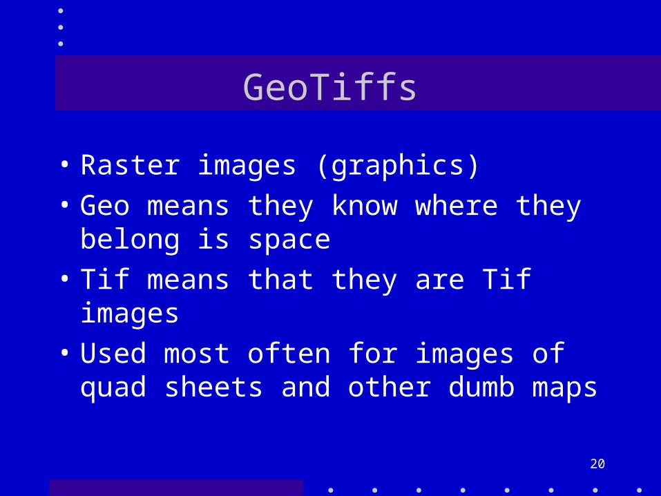
GeoTiffs
• Raster images (graphics)• Geo means they know where they
belong is space• Tif means that they are Tif images• Used most often for images of
quad sheets and other dumb maps

21
Images & orthophotos
• Images– Usually satellite images– Also know where they belong
• Orthophotos– Aerial photographs– Rectified so are geographically
correct– High resolution now available (2 ft)

22
Grids
• DEM or digital elevation models• Usually of continuous surfaces• Like images and orthophotos they
know where they belong

23
GeoDatabases
• The latest whiz-bang structure from the gnomes at ESRI
• Are containers for data• All of the types we have discussed• Deal with all the data at the same
time• Allow interlayer topology

24
This week
• You will be downloading many of the data types we have discussed
• And one more - the exchange file– E00 files– Text versions of coverages– So you have to import them (tool)– And you will probably want to convert
them to shapefiles

25
Overview• Review of Projections
– How to do• Difference between Define and Project
– Scale• Data Types
– GeoDatabase - orthophotos– Coverage - images– Shapefile
• Downloading
26
Downloading
• There are lots of data sites • Some are easy, some are not• Stay away from the National Map• See my GIS Links page

27
Summary• Coverages• Shapefiles• Grids• GeoTifs• Images• Orthophotos• GeoDatabase