leica scanstation 2 - leica geosystems · accuracy of a total station, leica scanstation 2 has...
TRANSCRIPT

Leica ScanStation 2 Exceptional Speed,Outstanding Versatility

With a 10-times boost in maximum instantaneous scan speed and the full freedom andaccuracy of a total station, Leica ScanStation 2 has lifted laser scanning to the next level.This speed and productivity boost builds on the already industry-leading versatility of theScanStation™ class of laser scanner to make High-Definition Surveying™ (HDS™) profitablefor even more as-built and topographic survey projects.
Leica ScanStation 2A New Level of Versatility and Speed in Laser Scanners
A New Level of Versatility for Laser Scanning
InfrastructureScanStation 2 extends the benefits of
safe, cost-effective road surveys from
urban and multi-lane roads & intersec-
tions to 2-lane roads & intersections.
SitesUsing ScanStation 2 for topographic
surveys of small sites and sites up to
hundreds of acres cuts initial survey
costs and reduces site re-visits.
BuildingsSmall buildings and tall buildings can
be cost-effectively surveyed, both
inside and out. Digital photos can be
overlaid for added realism.
For many as-built and topographic
surveys, laser scanners have already
proven to significantly reduce field labor
compared to traditional methods.
ScanStation 2’s jump-step increase in
pulsed scan speed further slashes
these costs – field labor is now as little
as one-fifth of that of traditional meth-
ods for many projects.
Dramatically faster scanning also lets users:� Collect data in tighter time windows
� Reduce time spent in hazardous
locations
� Provide project results faster
� Collect even more complete data
� “Squeeze in” additional service
requests from clients
A New Level of Speed and Productivity
ScanStation 2
Other Pulsed Scanner
100%
>1000%
10-times boost in scan speed
ScanStation 2
Traditional Methods
20%
100%
Significantly less field labor

� X-function CompatibilityInteroperable with Leica
System 1200
� Integrated, Dual-Axis Level CompensatorFor survey-grade traversing
and stakeout
� HI Marks, Tribrach Mount, Carry Handle, and QuickScan™ ButtonStandard procedures and
accessories make ScanStation 2
easy to learn
� Advanced Timing Electronics Integrated with a patented
microchip laser to deliver accurate,
low-noise distance measurements
� Integrated High-Resolution CameraFor fast scene selection and
compelling, auto-rectified photo
overlays
� Very-High Speed, Pulsed LaserExcellent range, up to 10-times faster than
other pulsed scanners, and capable of
single point surveying
� External Bubble LevelConveniently located
on back of rotating
scan head
� Advanced Scripting ControlsSmartScan™ firmware allows
automated sequencing of scans
and unattended operation
1. Full Field-of-viewOne of its four (4) fundamental
total station features, the full
dome field-of-view lets users
capture overhead, vertical,
horizontal, and sub-level
geometry with equal ease.
3. Survey-grade AccuracyAs part of the ScanStation instru-
ment category, ScanStation 2
delivers survey-grade accuracy
for each point. Ultra-fine scan-
ning with a small beam at long
range also enables optimal
project control & registration.
2. Survey-grade Dual-axis(Tilt) CompensationLike a total station, users can
setup ScanStation 2 over control,
traverse, resection, and even
stakeout and point with it.
4. Excellent RangeScanStation 2's detection range
(300 m @ 90 % reflectivity), high
accuracy, small beam, and ultra-
fine scanning combine for a
"useful range" that addresses
many typical sites.
A New Level of As-built & Topographic Surveying ... And More

Leica ScanStation 2 Performance SpecificationsInstrument type Pulsed, dual-axis compensated, very-high speed laser scanner, with survey-
grade accuracy, range, and field-of-view
User interface Notebook or Tablet PC
Camera Integrated high-resolution digital camera
Accuracy of single Position* 6 mm
measurement Distance* 4 mm
Angle (horizontal/vertical) 60 μrad/60 μrad
(3.8 mgon/3.8 mgon) **
Laser spot size From 0 – 50 m: 4 mm (FWHH-based); 6 mm (Gaussian-based)
Modeled surface 2 mm **
precision/noise
Target acquisition 2 mm std. deviation
Dual-axis compensator Resolution 1 ", dynamic range +/- 5 '
Data integrity monitoring Periodic self-check during operation and start-up
Laser scanning system Range 300 m @ 90 %; 134 m @18 % albedo
Scan rate Maximum instantaneous: up to 50,000 points/sec
Average: dependent on specific scan density and field-of-view
Scan density <1 mm max, through full range; fully selectable horizontal and
vertical spacing; single point dwell capability
Laser class 3R (IEC-60825-1), visible green
Lighting Fully operational between bright sunlight and complete darkness
Power supply 36 V; AC or DC; hot swappable
Specifications subject to change without notice
See Leica ScanStation 2 Product Specifications for full technical data
* At 50m range, one sigma
** One sigma

PlantsFrom a single vessel to entire plants
and factories – accurate as-built data
makes retrofit projects and mainte-
nance/operations go more smoothly.
VolumesWith its high scan speed, 300m (max)
reflectorless range, and survey accuracy,
ScanStation 2 is more cost-effective,
more precise and safer for many pile
and pit surveys.
VarietyScanStation 2 provides unobtrusive,
fast and complete surveys for a wide
range of accident scenes, archaeology
sites, heritage structures, and more.
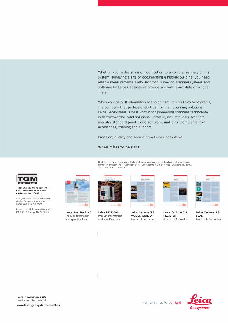
Whether you’re designing a modification to a complex refinery piping
system, surveying a site or documenting a historic building, you need
reliable measurements. High-Definition Surveying scanning systems and
software by Leica Geosystems provide you with exact data of what’s
there.
When your as-built information has to be right, rely on Leica Geosystems,
the company that professionals trust for their scanning solutions.
Leica Geosystems is best known for pioneering scanning technology
with trustworthy, total solutions: versatile, accurate laser scanners,
industry standard point cloud software, and a full complement of
accessories, training and support.
Precision, quality and service from Leica Geosystems.
When it has to be right.
Illustrations, descriptions and technical specifications are not binding and may change. Printed in Switzerland – Copyright Leica Geosystems AG, Heerbrugg, Switzerland, 2007. 760368en – VI.07 – RDV
Total Quality Management – Our commitment to total customer satisfaction
Ask your local Leica Geosystems dealer for more information about our TQM program.
Laser class 3R in accordance with IEC 60825-1 resp. EN 60825-1
Leica Geosystems AGHeerbrugg, Switzerland
www.leica-geosystems.com/hds
Leica Cyclone 5.8REGISTERProduct information
Leica Cyclone 5.8SCANProduct information
Leica Cyclone 5.8MODEL, SURVEYProduct information
Leica HDS6000Product informationand specifications
Leica ScanStation 2Product informationand specifications