introduction to the american west
DESCRIPTION
TRANSCRIPT

Introduction to the American West
1840 - 1895

Wilf
Perceptions of the West
To understand the idea of a frontier
To gain an understanding of the varied landscape of the West by a mapping exercise

Perceptions of the West
What ideas do you have of the American West?
Fact or Fiction?
Look at page 6 – 7
Choose the picture that sums up your perception
Be prepared to explain why!
What is a frontier?
How would you define a frontier
What sort of things form frontiers?


Frontiers
Are the edge, borders of countries
The American frontier kept changing and moving westwards
Look at the map on page 7
How many frontiers can you identify in the development of the USA?

Frontier 1
Appalachian Mountains
200 metres high
Steep rocks, deep valleys
First settlers east of here

Frontier 2 - about 1840
The Mississippi River!
Wide slow and treacherous
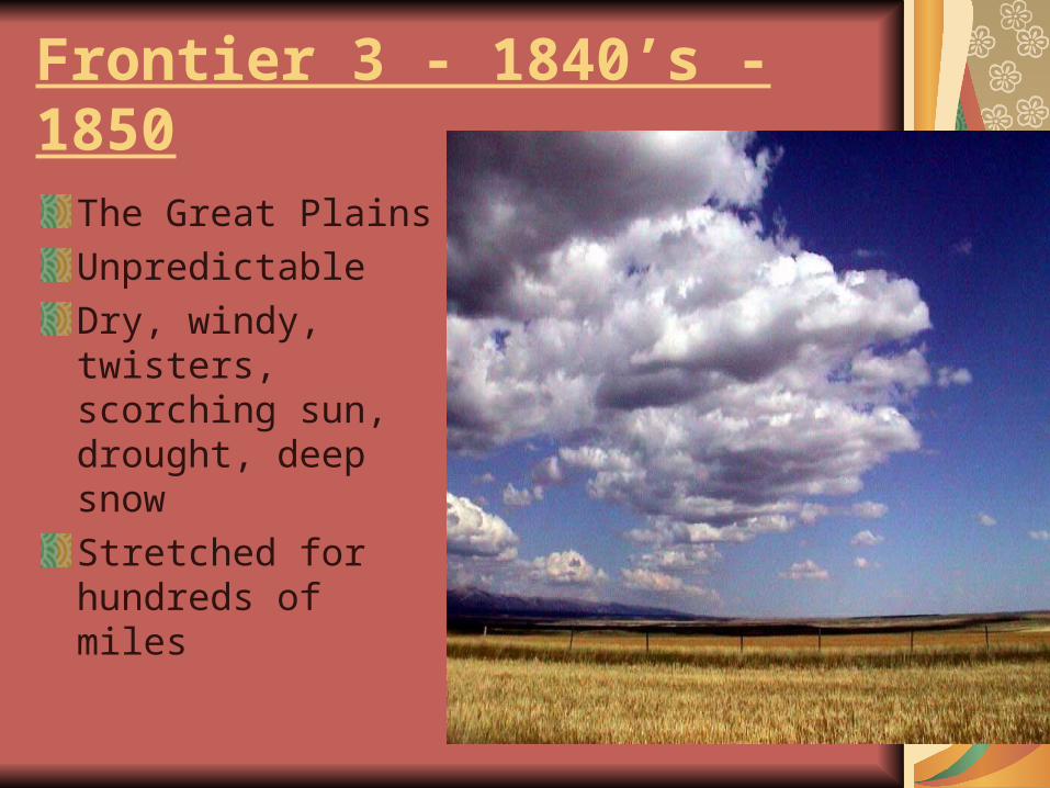
Frontier 3 - 1840’s - 1850
The Great Plains
Unpredictable
Dry, windy, twisters, scorching sun, drought, deep snow
Stretched for hundreds of miles
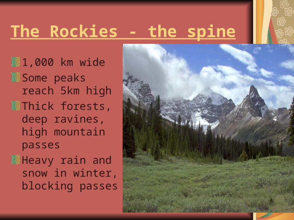
The Rockies - the spine
1,000 km wide
Some peaks reach 5km high
Thick forests, deep ravines, high mountain passes
Heavy rain and snow in winter, blocking passes

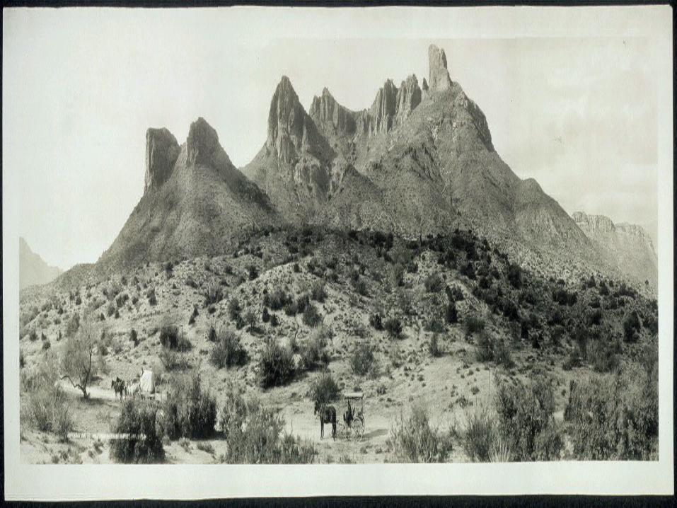
The Plateaux region
1500 - 3350 metres above sea level
Ravines and canyons
Dry, little rain so deserts
Salt Lake area
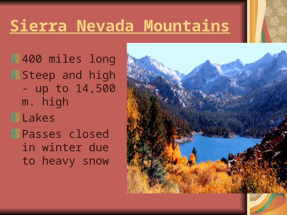
Sierra Nevada Mountains
400 miles long
Steep and high - up to 14,500 m. high
Lakes
Passes closed in winter due to heavy snow

California and Oregon
Fertile
Warm and sunny
Oregon has more rain
The promised land!

Mapping Task
Use page 6, HeinemannLabel/draw on the followingAtlantic and Pacific Oceans, Gulf of MexicoCalifornia, Oregon, Rockies, Sierra Nevada, Colorado and Columbia Plateaux, Cascades and Appalachian MountainsThe Great Basin, Salt Lake, Great PlainsMississippi River (roughly)
Labels and sketches
Use p.6 to add labels/drawings about the landscape, vegetation, climate and wildlife for:-
Great Plains or Great American Desert
Rocky Mountains
Plateaux Region
Sierra Nevada to the Pacific coast
Task 3
At the bottom of their copy of the map draw and label the cross section on page 7Using page 9 add simple labels to show where the groups of settlers went to live. For example C for cattlemenMake a key to show what abbreviations stand for
Plenary
Which areas will be settled first?
What difficulties will travellers and settlers face?
Why might people leave their homes to settle in new places?
Why were the Plains known as the Great American Desert?

Homework
White text page 13
Answer questions 1 - 3

General Introduction
The Indian Tribes and the Great Plains
Wilf
To recall the Great American Desert and the frontiers
To understand the origins of the native people
To appreciate that Indian nations are not the same and that they adapt to their environment

Recall
What was the Great American Desert?
Why was it called that?
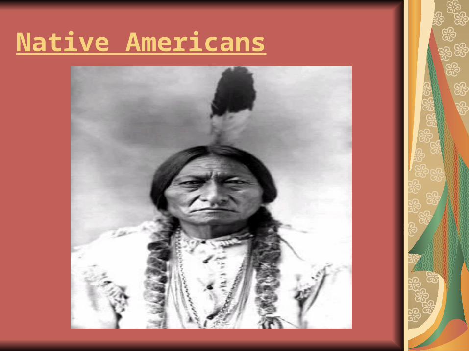
Native Americans

The Great Spirit
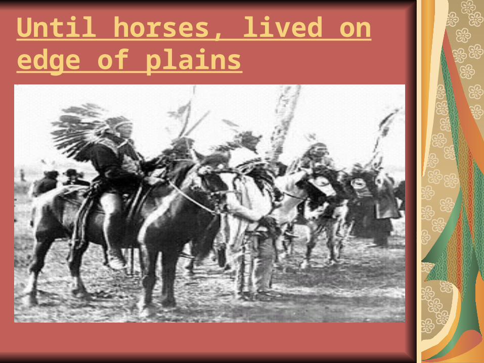
Until horses, lived on edge of plains

Tasks
P. 14. Explain where the native people originally came from
Why are Indian nations different from each other?
P. 14 – 15 Why did tribes not live on the Great Plains until the 18th Century?
How did the horse transform their way of life?
Complete the Task on p. 15

Plenary
What was the Great American desert?
How did native people get to the USA?
Why are native nations not the same?
Why did horses transform lifestyle
How did Europeans affect the Indian tribes?