integrating statistical geospatial information in mexico · julio a. santaella president of inegi...
TRANSCRIPT

Integrating statistical & geospatial information in Mexico: Public health applications and the way forward
Statistical‐Geospatial Integration Forum“Integrating statistical, geospatial, and other Big Data to leave no one behind”
Panel 1: Addressing inequalities and safeguarding public health
Julio A. SantaellaPresident of INEGIMarch 5, 2018
1
49th Session of the United Nations Statistical Commission

In the new data ecosystem, integrating geospatial and statistical information
is no longer a nice‐to‐have but a must‐have
2

How is this integration done in Mexico?
3

This integration occurs naturally in Mexico since 1983 because INEGI is responsible for the generation of both
statistical and geographical information
4

SNIEG: Mexico’s institutional framework to produce statistical & geographical information
Sociodemographic Economic Government, Public Security & Law Enforcement
Coordinated by INEGI, Public Entities that produce statistical and geographical information are organized in 4 Subsystems of Information that interact with each other
Geographical, Environmental
Territorial & Urban Planning
5

Integration examples from public health
6

Hospitals per capita
7
• Integrating statistical and geospatial information in a GIS allows for a detailed analysis of the supply of hospitals services in specific areas (municipality of Ecatepec)
• There are 47 hospitals (26 private & 21 public) in Ecatepec
• Ecatepec has a population of 1,677,678 • There is a hospital for every 35,695
persons• 47% of these hospitals have 10
employees or less
Hospital

2014 Sonora river toxic spill
• On August 6, 2014, 40,000 cubic meters of toxic chemicals were poured into the Sonora river, thus becoming the worst disaster of this type in Mexico
8
How does the integration of statistical and geospatial information serve to address this kind of disasters?
It is necessary to be able to locate in a GIS both, the body of water and the settlements
that could be affected

2014 Sonora river toxic spill
• We define a buffer of 500 meters on both banks of the river and then locate the settlements within the buffer
9
500 meter buffer Settlements within the buffer
• 60 rural settlements are identified that could potentially be affected by this incident
• Equivalent to 12,682 inhabitants
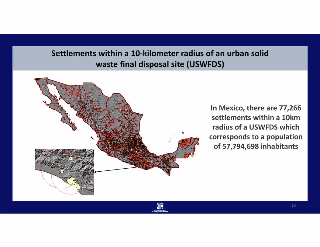
Settlements within a 10‐kilometer radius of an urban solid waste final disposal site (USWFDS)
10
In Mexico, there are 77,266 settlements within a 10km radius of a USWFDS which corresponds to a population of 57,794,698 inhabitants

SDG Indicator 1.4.1 ‐ Proportion of the population living in households with access to basic services
Input ‐ National Housing Inventory11

Major steps have been taken to exploit the integration of geospatial and statistical information
…
… but there is still a long way to go
12

2030
We must establish a clear roadmap in order to achieve our goals
13
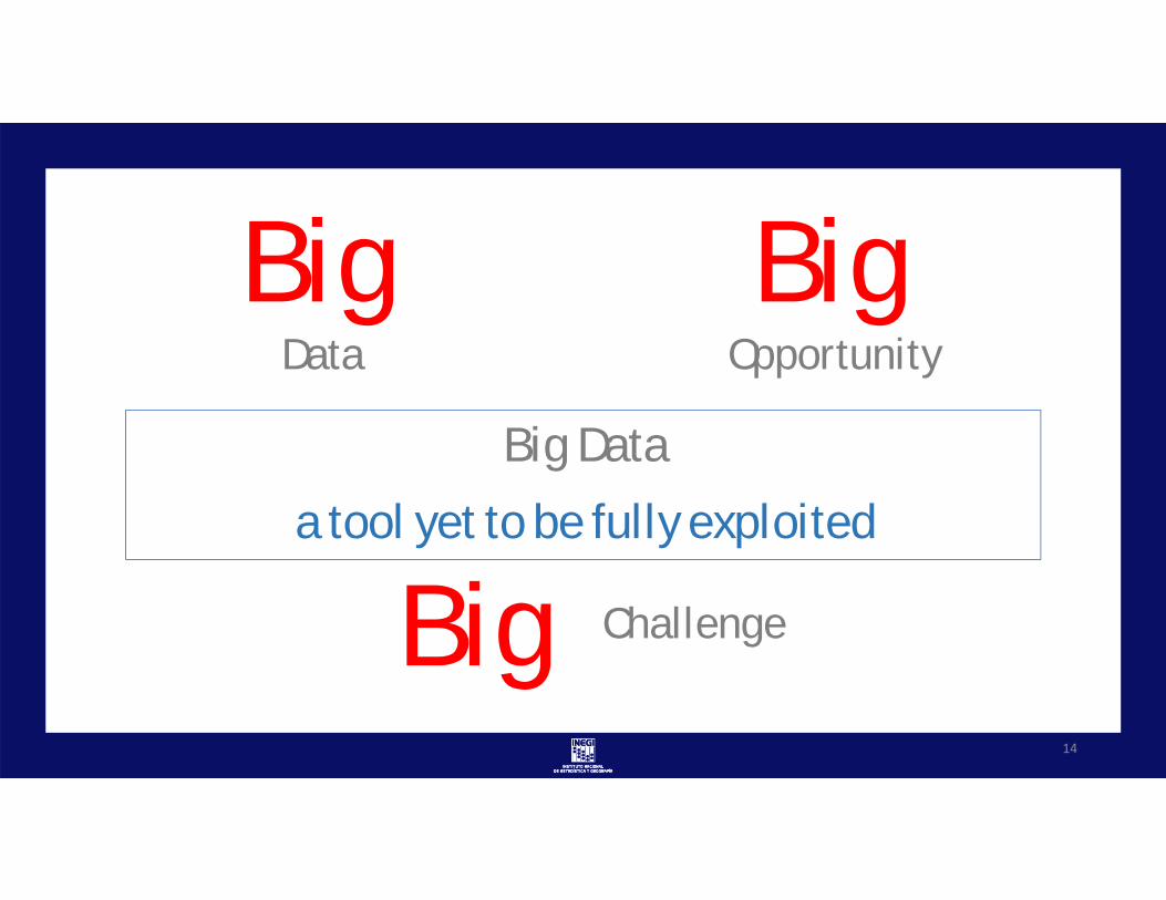
Big Data
a tool yet to be fully exploited
BigOpportunity
BigData
Big Challenge
14

Social networks and millions of devices
• GPS trackers• mobile phones• air quality sensors• traffic cameras• credit card POS
generate information at a very low cost
15

Potential use example:Twitter as a source for mental health assessment
16
• Objective: to exploit the expressions stated in tweets to make inferences regarding the mental health condition of the users
• A machine learning process will be used.
• A training set will be constructed with tweets written by:
• Patients diagnosed with some psychological condition, and
• People who do not have this type of conditions
• We seek to find the written expression patterns of those who have some psychological condition and, if possible, the type of condition

The world needs definitionsWho do Geospatial Big Data belong?
Information vs privacy dilemma
17

NSOs & NGIsPartnerships with third parties
Technology developers, telecom companies, thinktanks, Information generators or holders, etc.
18

Final remarks
• The integration of statistical & geospatial information is crucial in order to understand of complex phenomena
• The use of integrated information helps address phenomena in different fields, such as public health
• Nevertheless, involvement of third parties is critical to speed up the process and boosts NSOs and NGIs efforts
• Advantage of each party expertise and resources must be taken so partnerships are of the utmost importance
19

Integrating statistical & geospatial information in Mexico: Public health applications and the way forward
Statistical‐Geospatial Integration Forum“Integrating statistical, geospatial, and other Big Data to leave no one behind”
Panel 1: Addressing inequalities and safeguarding public health
Julio A. SantaellaPresident of INEGIMarch 5, 2018
20
49th Session of the United Nations Statistical Commission