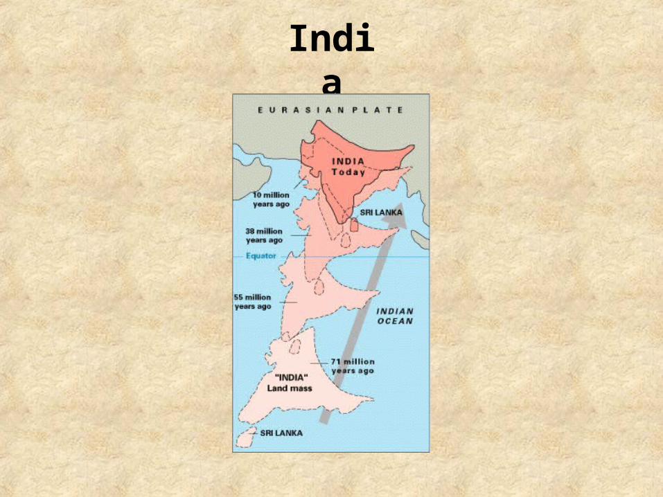
india. the himalayas: mountain range in asia separate the indian subcontinent from asia planet’s...
TRANSCRIPT

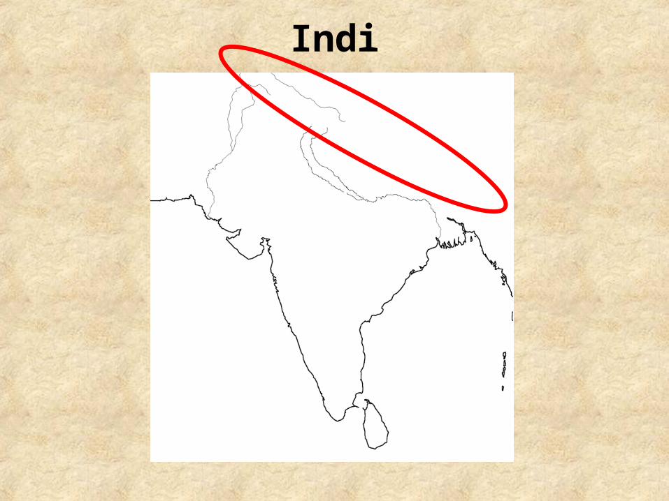
India

India

India
India

India
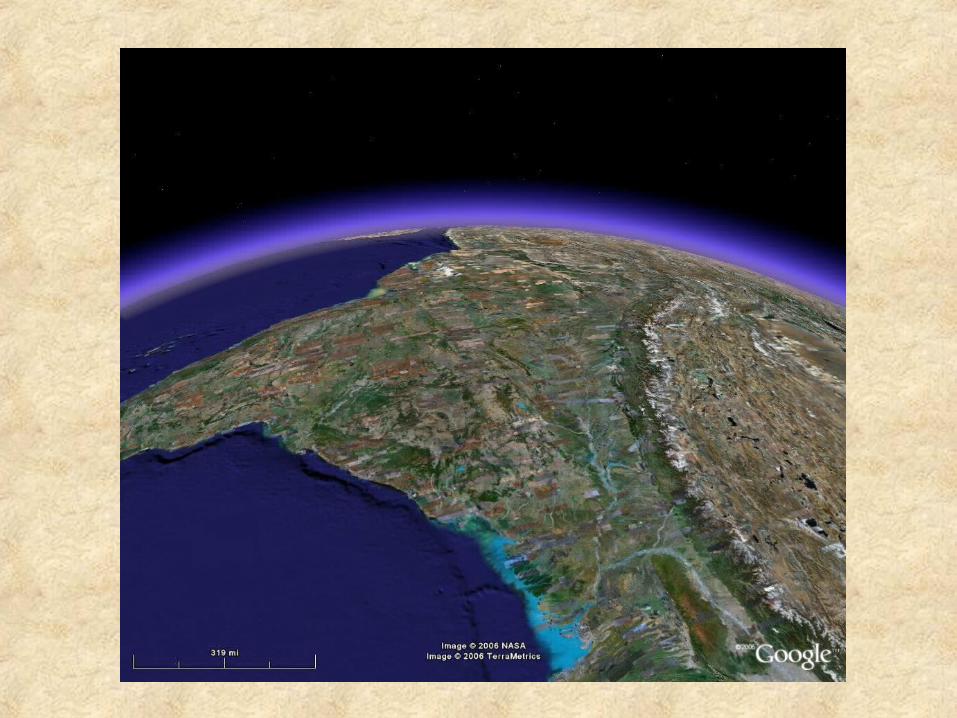
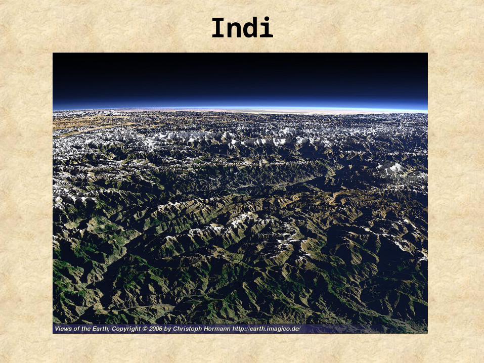
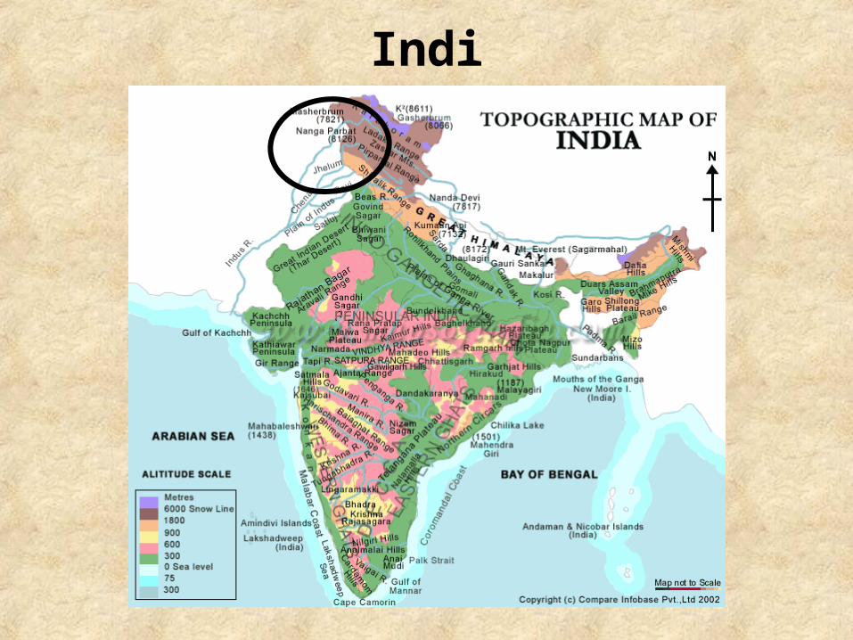
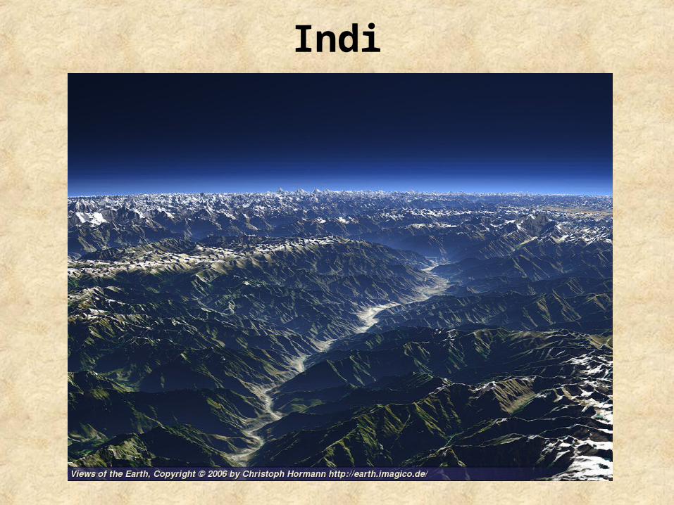
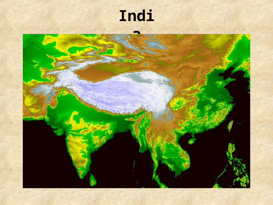
The Himalayas:
•Mountain range in Asia
•Separate the Indian subcontinent from Asia
•Planet’s highest and home to all fourteen of the world’s highest peaks

India
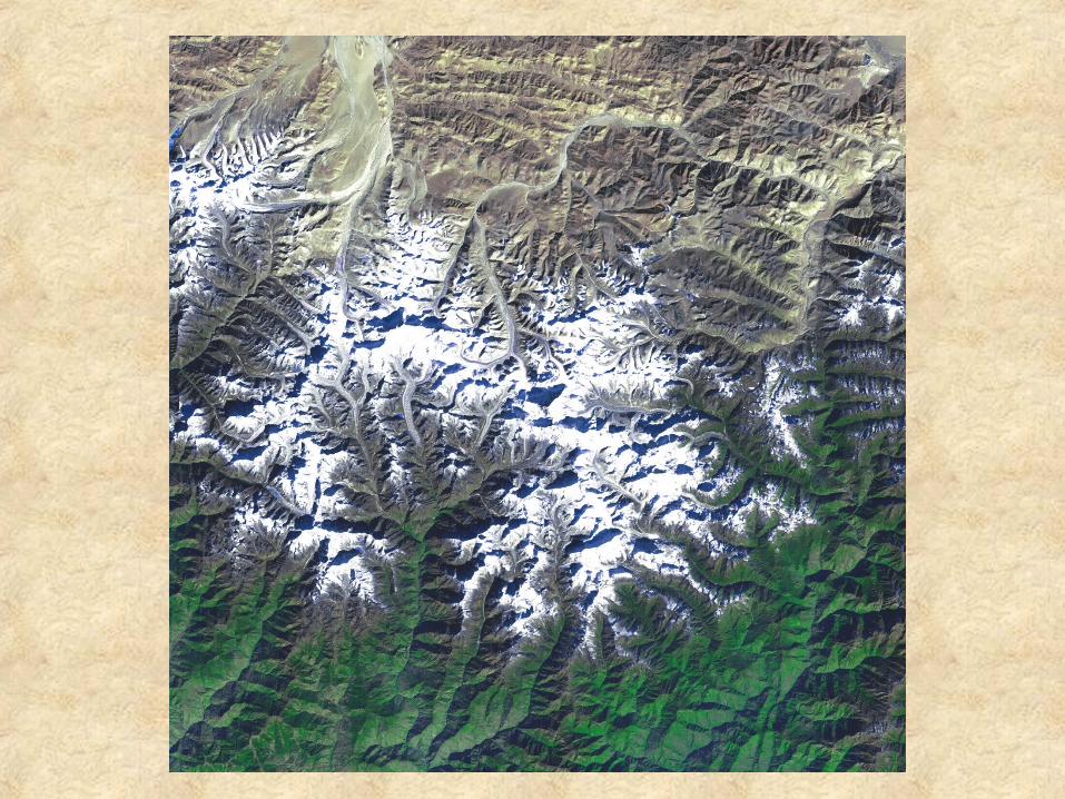
The Himalayas:
•The Himalaya range runs for about 1490 miles and the width varies between 155-190 miles
•Source of three of the world’s major river systems, the Indus Basin, the Ganga-Brahmaputra Basin, and the Yangtze Basin
India

India
India

India

India

India

India

India
India

India
India
India
India

India
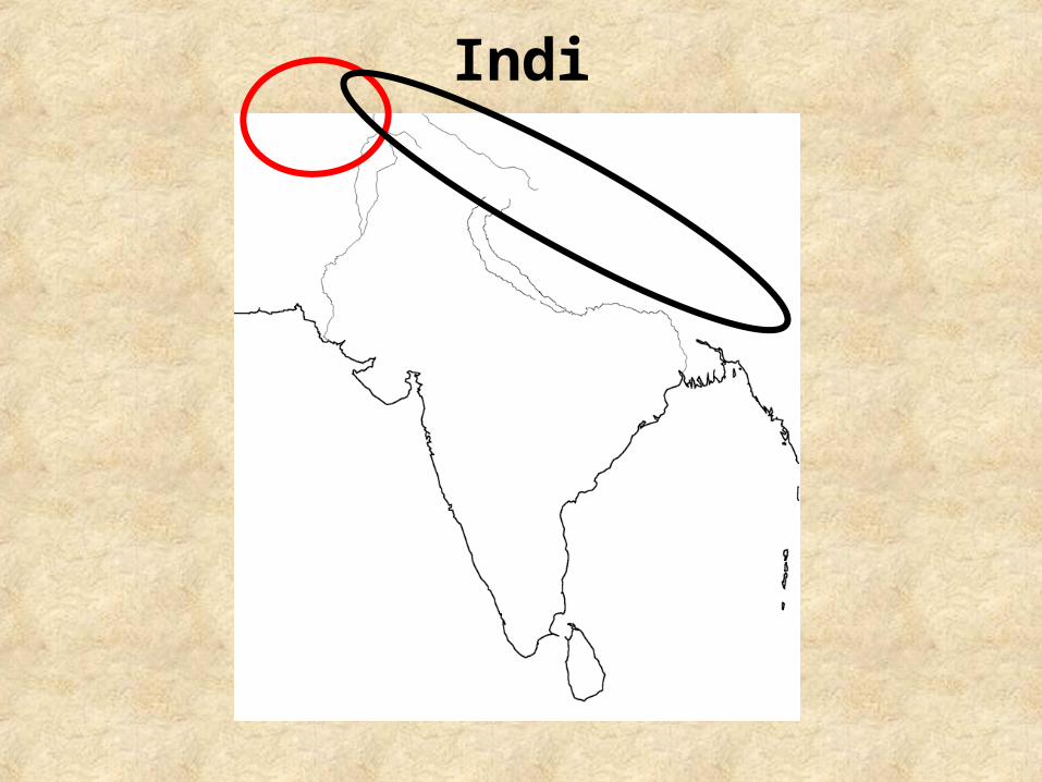
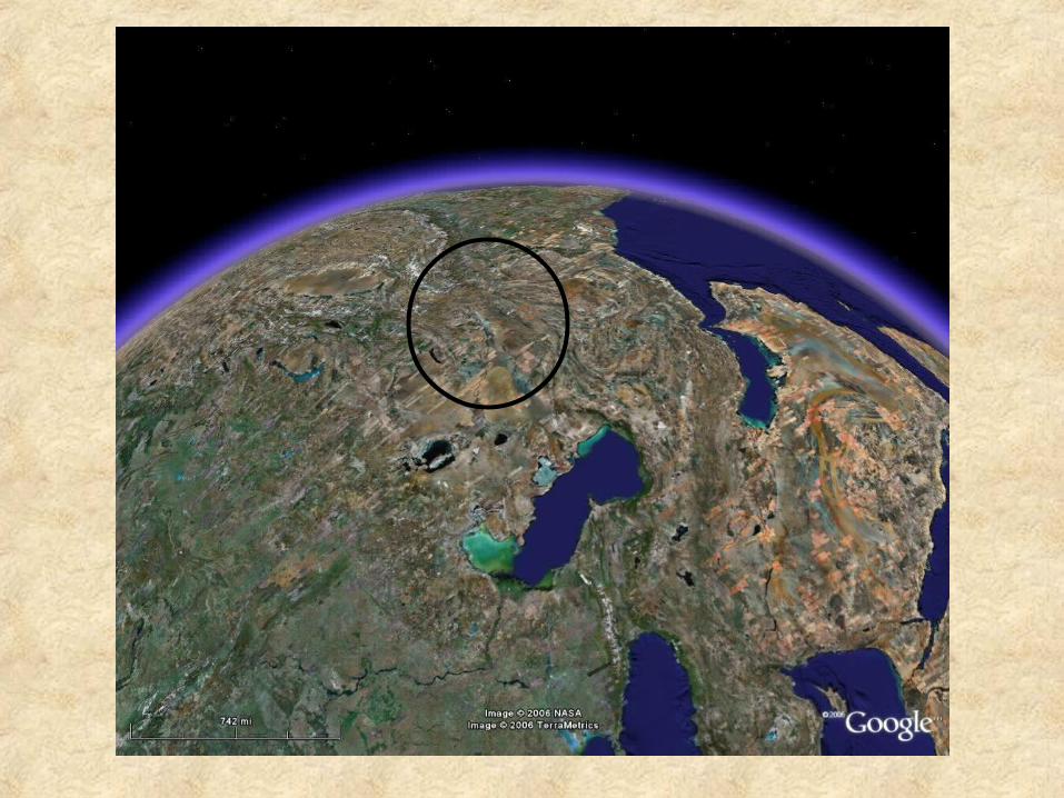
The mountains of the Hindu Kush: • Western end of the Himalaya range• Lessen in height as they stretch westward• Numerous high passes cross the
mountains : -caravan trade-invasion route onto the subcontinent
India

India

India

India
India
The Deccan plateau: •Large triangular plateau •Flanked by the Eastern and Western Ghats •Covers a total area of 735,000 square miles •Region is mostly semi-arid •Climate ranges from hot summers to mild winters.

India

India

India
India
The Indus River:
•Source water is in the Tibetan plateau
•Flows in a southern direction into the Arabian Sea near the city of Karachi
•Length of the river is 1988 miles
India
Indus River Civilization:
•Major cities of the Indus Valley Civilization date back to around 3300 BC
•Some of the largest cities of the ancient world
•Over 1,052 cities and settlements have been found
•Major urban centers of Harappa and Mohenjo-daro
India

India

India

India

India
The Ganges River:
•River of northern India and Bangladesh
•Long history of reverence and is worshipped by Hindus as a goddess. It is often called the 'holy Ganga‘
•Length of the river is about 1,557 miles
India
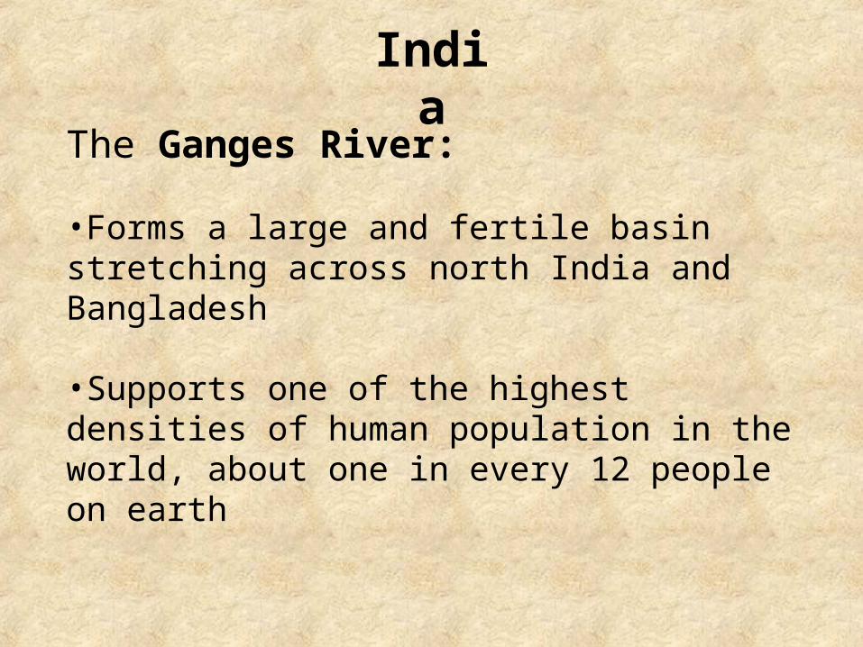
The Ganges River:
•Forms a large and fertile basin stretching across north India and Bangladesh
•Supports one of the highest densities of human population in the world, about one in every 12 people on earth

India

India
India
India
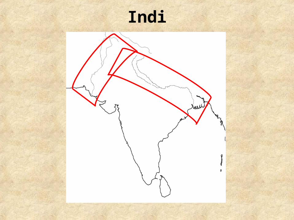
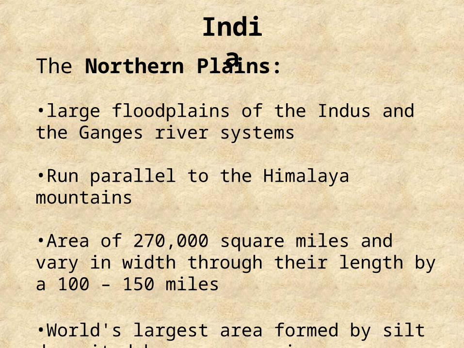
The Northern Plains:
•large floodplains of the Indus and the Ganges river systems
•Run parallel to the Himalaya mountains
•Area of 270,000 square miles and vary in width through their length by a 100 – 150 miles
•World's largest area formed by silt deposited by numerous rivers

India
The Northern Plains:
•Plains are flat and mostly treeless rich in ground water sources
•One of the world's most heavily farmed areas
•Rank among the world's most densely populated areas
India

India
India

India
India
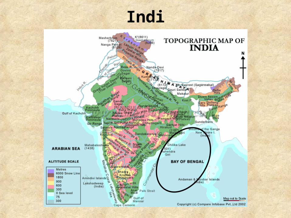
The Bay of Bengal:
•Forms the northeastern part of the Indian Ocean
•Resembles a triangle in shape
•Connected India to trade routes to the east

India

India
India

India
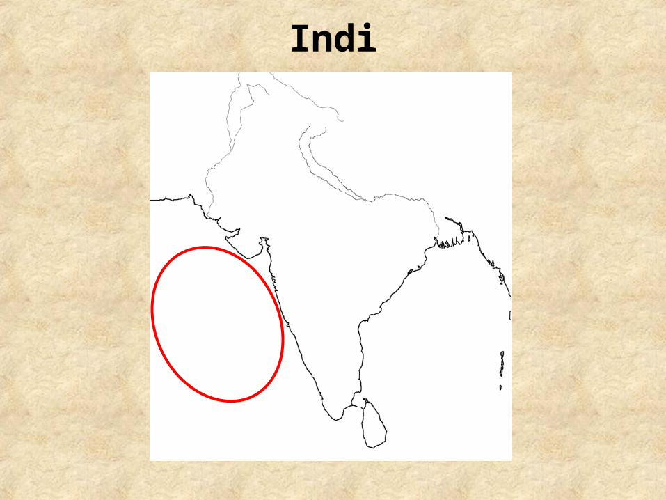
The Arabian Sea:
•region of the Indian Ocean
•Ocean trade routes linked the Near East with East Africa, India, Southeast Asia, and China

India

India
India

India
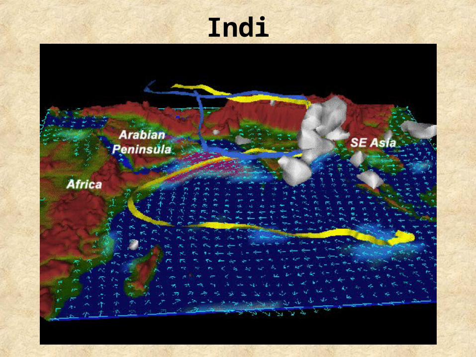
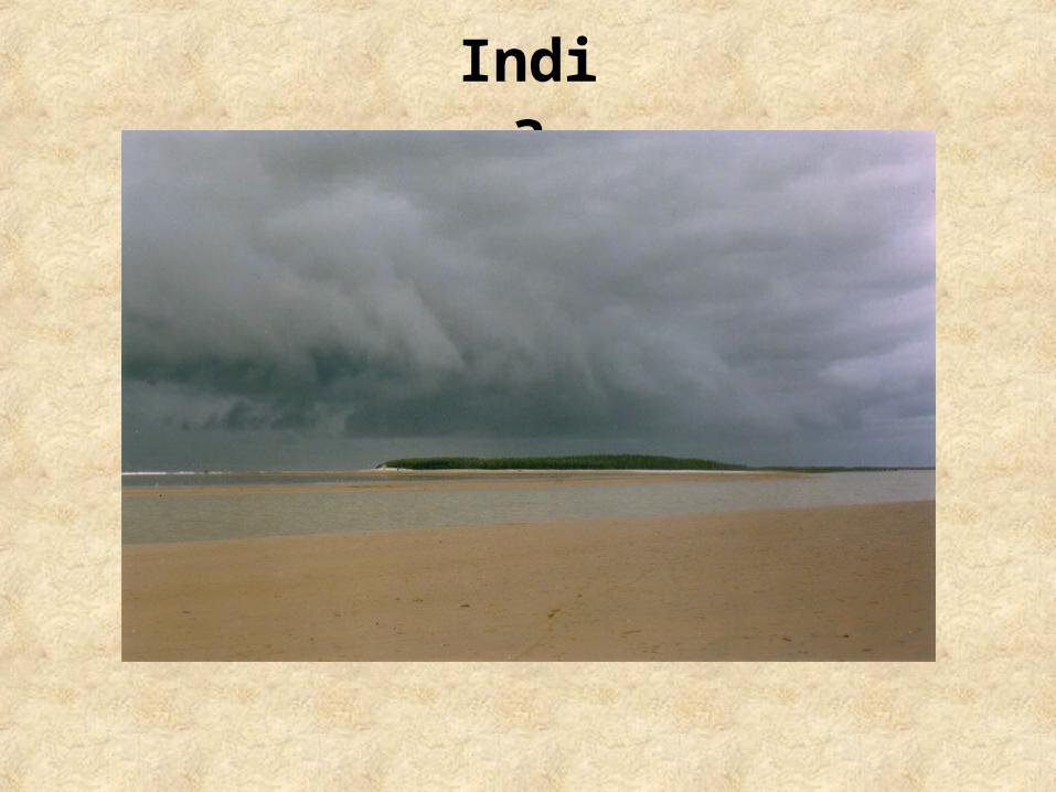
Monsoon:
•Seasonal winds that cross southern Asia
•Winter-blow hot dry air from the northeast

India
Monsoon:
•Summer-blow cooler wet winds from the southeast picking up moisture from the Indian Ocean and bringing heavy rains
India

India
SUMMER RAINFALLLT. GRN 15.75 – 31.5 inchesDRK. GRN 31.5 – 63 inches
ANNUAL RAINFALLYELLOW <= 15.75 inches
WINTER RAINFALLBLUE >63 inches

India
India

India

India

India

India

India
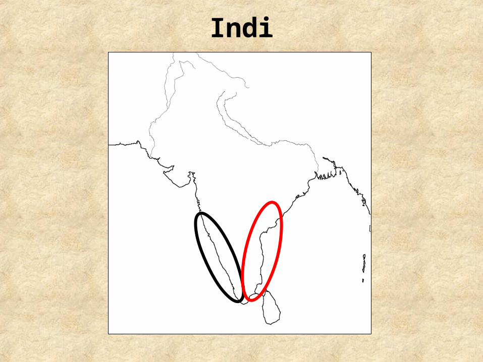
The Western Ghats:
•Run along the western edge of India's Deccan Plateau
•Separate the Deccan plateau from a narrow coastal plain along the Arabian Sea.

India

India
India

India
The Eastern Ghats:
•A non-connected range of mountains
•Extend from West Bengal in the north to Tamil Nadu in the south
•Run parallel to the Bay of Bengal

India

India