impact on landscapes and scope of solutions required for
TRANSCRIPT

Naturally Hazardous Queensland –Impact on Landscapes and Scope of Solutions Required for L d M tLandscape Management
Simon Warner
.

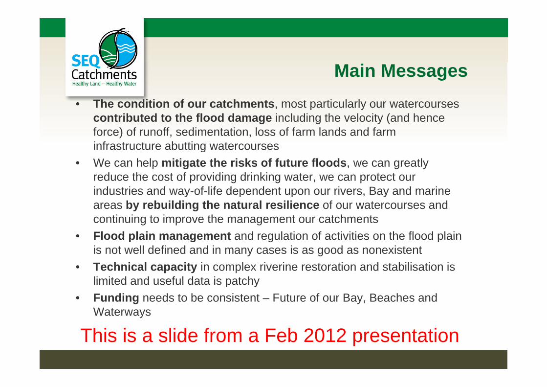
Main Messages
• The condition of our catchments most particularly our watercoursesThe condition of our catchments, most particularly our watercourses contributed to the flood damage including the velocity (and hence force) of runoff, sedimentation, loss of farm lands and farm infrastructure abutting watercoursesinfrastructure abutting watercourses
• We can help mitigate the risks of future floods, we can greatly reduce the cost of providing drinking water, we can protect our industries and way-of-life dependent upon our rivers Bay and marineindustries and way of life dependent upon our rivers, Bay and marine areas by rebuilding the natural resilience of our watercourses and continuing to improve the management our catchments
• Flood plain management and regulation of activities on the flood plainFlood plain management and regulation of activities on the flood plain is not well defined and in many cases is as good as nonexistent
• Technical capacity in complex riverine restoration and stabilisation is limited and useful data is patchylimited and useful data is patchy
• Funding needs to be consistent – Future of our Bay, Beaches and Waterways
This is a slide from a Feb 2012 presentation

No Two Floods are the Same
January 2011 Floods• Upper & Mid Brisbane River and Lockyer Creek (esp. western
catchments – Murphys & Blackfellow Cks)catchments Murphys & Blackfellow Cks)• Followed long period of wet (hillslopes well grassed)• Large amounts of debris both natural and otherJanuary 2013 Floods• Lockyer (esp. southern catchments – Blackfellow & Laidley Cks)
& Warrill Creek& Warrill Creek• Followed a significant period of dry (many hillslopes in poor
condition eg, Laidley with significant arson)• Significant coastal damage• Debris less but in different areas

Confluence of Murphy & Alice Creeks20112011

Damage was significant (Lockyer)Damage was significant (Lockyer)2011 and 2013

Damage was significant (Laidley)Damage was significant (Laidley)2013

Lockyer Focal Area post 2011
Net Sediment loss from 9km of Creek bed and banks = 76,000 m3,or about 125,000 tonnes
2013 figures yet to be finalisedsample area Tenthill Ck (279ha) 17% lost > 0,25m soil. Est loss from 47ha 477,670 tonnes
Each millimetre depth of topsoil lost per hectare is 10 m3 of sediment
Reactions
2011• 2011– Community - Shock – difference between urban and rural
– Local Government – response patchy
– Government - slow and in regard to natural systems– Government - slow and in regard to natural systems, limited
• 20132013– Community - better prepared
L l G– Local Government - much better prepared
– Government - still slow but better response to natural systems

Response
Immediate Aff t d l d t d 200 t• Affected landowner support – around 200 engagements after 2011 & 2013
• Data collection• Data collection• Determining funding opportunities short and long term
T i• Triage– Replacing lost infrastructure
Cl f d b i– Clean up of debris– Stabilisation of erosion areas
F h bilit ti– Farm rehabilitation

LiDAR
Response
Strategic –
• Long term resilienceg• Catchment and flood plain management
S i d ili• Stream restoration and resilience• On Farm management and practiceOn Farm management and practice
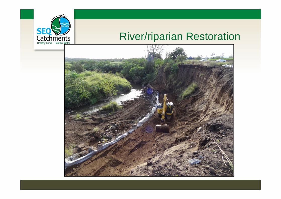
River/riparian Restoration
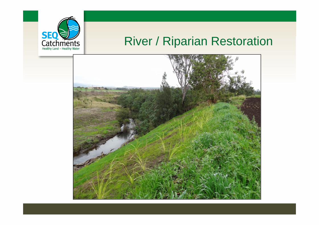
River / Riparian Restoration

River / Riparian Restoration22 Major Projects Implemented post 201122 Major Projects Implemented post 2011• Approach
– Strategic (Reach approach landowner willingness triage– Strategic (Reach approach, landowner willingness, triage weighted by good geomorphologic understanding)
– Geomorphologic understanding of condition (slump, scour, b d l i fl il i i di i )bed lowering, flows, soil, riparian condition)
– Design – build natural resilience (soft engineering may be used to support a revegetation solution)pp g )
Performance• Projects implemented in 2012. 2013 event tested works.Projects implemented in 2012. 2013 event tested works.
Damage was correlated with intensity. 60% survived (1:10 year event); 13% damaged (1:15 year event) & 27% failed (Warrill –biggest event on record Only 9% retreated beyond 2011 lossbiggest event on record. Only 9% retreated beyond 2011 loss.

Restoration - horticulture
Th bl• The problem– Farm design and management practices use traditional soil
conservation approach of managing hillslope rainfall runoff;conservation approach of managing hillslope rainfall runoff; and are effective in minimising loss from normal summer rains.
– Typically farms are not designed for flood flow (a flow of water entering the property). Levees may be used in an attempt to avoid flood flow; but farm design and management may not be effective in resisting flood flow damage and can increase risk in higher flow events.
– We need to optimise design and management to optimise– We need to optimise design and management to optimise resilience to normal rainfall runoff and flood flows. Taking a risk-based approach is needed.
Main Messages• The condition of our catchments most particularly our watercoursesThe condition of our catchments, most particularly our watercourses
contributed to the flood damage including the velocity (and hence force) of runoff, sedimentation, loss of farm lands and farm infrastructure abutting watercoursesinfrastructure abutting watercourses
• We can help mitigate the risks of future floods, we can greatly reduce the cost of providing drinking water, we can protect our industries and way-of-life dependent upon our rivers Bay and marineindustries and way of life dependent upon our rivers, Bay and marine areas by rebuilding the natural resilience of our watercourses and continuing to improve the management our catchments
• Flood plain management and regulation of activities on the flood plainFlood plain management and regulation of activities on the flood plain is not well defined and in many cases is as good as nonexistent
• Technical capacity in complex riverine restoration and stabilisation is limited and useful data is patchylimited and useful data is patchy
• Funding needs to be consistent – Future of our Bay, Beaches and Waterways
This is a slide from a Feb 2012 presentation

Thank You