gis is not cartography. cartographic basics maps perform two important functions: s storage medium...
TRANSCRIPT
GIS
IS
NOT
CARTOGRAPHY

CARTOGRAPHIC BASICS
Maps perform two important functions: Storage medium for information that humanity needs
Provides a picture of the world to help understand spatial patterns, relationships, and environmental complexity
Maps tell us:
Where is it?
What is it?
(often) When is it?
What is nearby? How far away? In which direction? How
do I get there?
What other things are there also?
How might they be related?
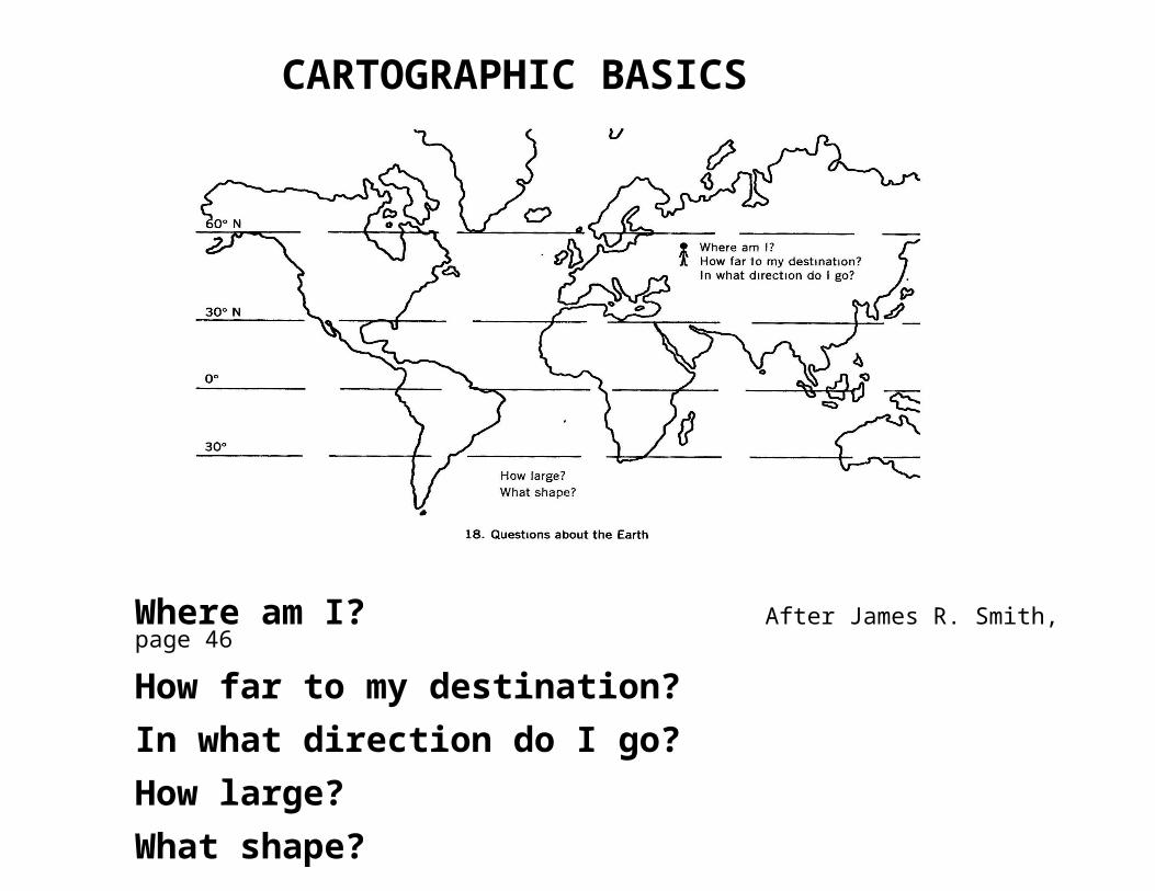
CARTOGRAPHIC BASICS
Where am I? After James R. Smith, page 46
How far to my destination?
In what direction do I go?
How large?
What shape?
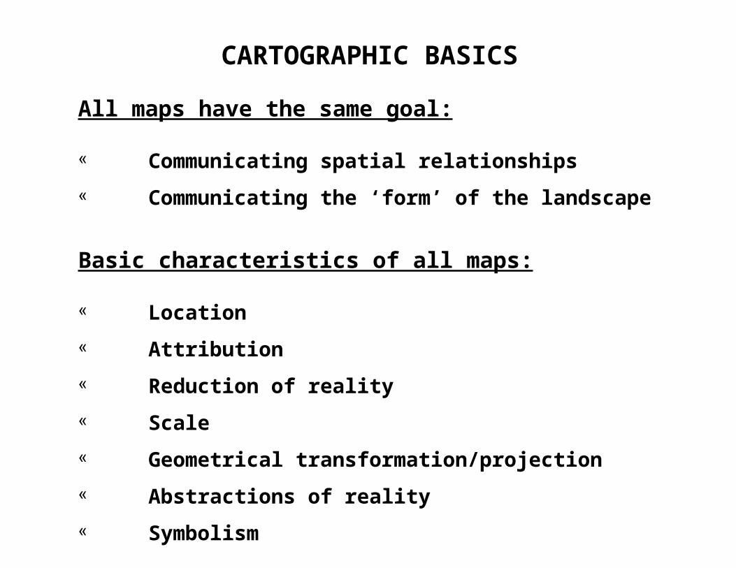
CARTOGRAPHIC BASICS
All maps have the same goal:
Communicating spatial relationships
Communicating the ‘form’ of the landscape
Basic characteristics of all maps:
Location
Attribution
Reduction of reality
Scale
Geometrical transformation/projection
Abstractions of reality
Symbolism
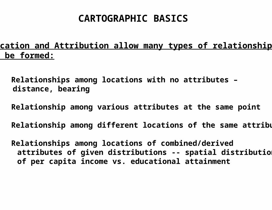
CARTOGRAPHIC BASICS
Location and Attribution allow many types of relationshipsto be formed:
Relationships among locations with no attributes – distance, bearing
Relationship among various attributes at the same point
Relationship among different locations of the same attribute
Relationships among locations of combined/derived attributes of given distributions -- spatial distribution of per capita income vs. educational attainment
CARTOGRAPHIC BASICS
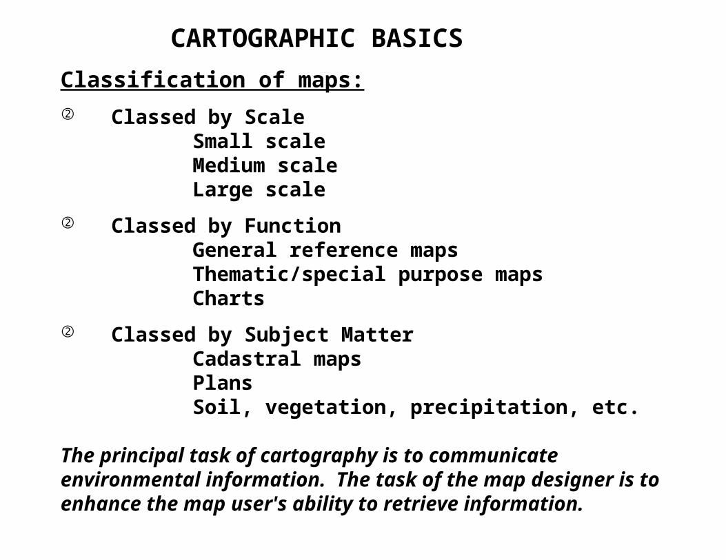
Classification of maps:
Classed by ScaleSmall scaleMedium scaleLarge scale
Classed by FunctionGeneral reference mapsThematic/special purpose mapsCharts
Classed by Subject MatterCadastral mapsPlansSoil, vegetation, precipitation, etc.
The principal task of cartography is to communicate environmental information. The task of the map designer is to enhance the map user's ability to retrieve information.

CARTOGRAPHIC BASICS
Mapping involves information transformations:
Data collection
Selection
Classification
Simplification
Exaggeration
Symbolization
Use of map
The cartographer's task - explore the ramifications of each mapping possibility and choose the most appropriate for the intended task. Who is your audience?
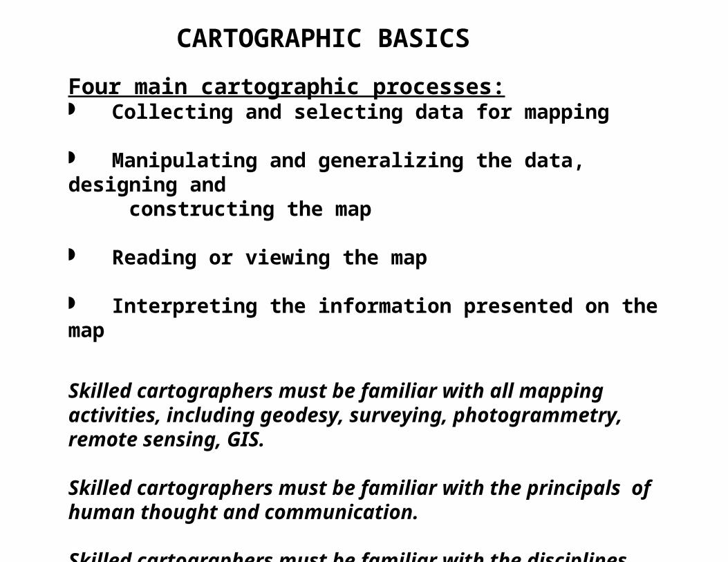
Four main cartographic processes: Collecting and selecting data for mapping
Manipulating and generalizing the data, designing and constructing the map
Reading or viewing the map
Interpreting the information presented on the map
Skilled cartographers must be familiar with all mapping activities, including geodesy, surveying, photogrammetry, remote sensing, GIS.
Skilled cartographers must be familiar with the principals of human thought and communication.
Skilled cartographers must be familiar with the disciplines associated with the environmental features being mapped.
CARTOGRAPHIC BASICS
HISTORY OF CARTOGRAPHY
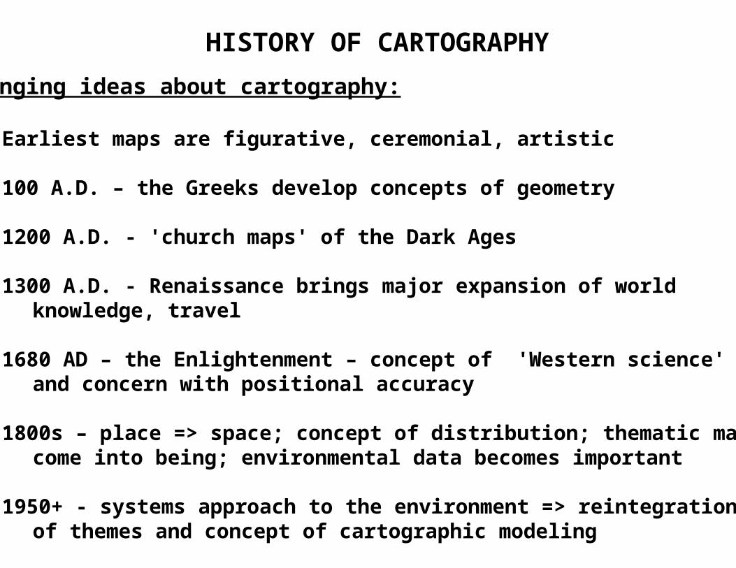
Changing ideas about cartography:
Earliest maps are figurative, ceremonial, artistic
100 A.D. – the Greeks develop concepts of geometry
1200 A.D. - 'church maps' of the Dark Ages
1300 A.D. - Renaissance brings major expansion of world knowledge, travel
1680 AD – the Enlightenment – concept of 'Western science' and concern with positional accuracy
1800s – place => space; concept of distribution; thematic maps come into being; environmental data becomes important
1950+ - systems approach to the environment => reintegration of themes and concept of cartographic modeling

HISTORY OF CARTOGRAPHY
From Robinson, Sixth Edition, page 22
100 A.D. – geometry1200 – Dark Ages1300 – Renaissance1680 – Enlightenment1800s – Place => Space1950+ -- Systems Approach
HISTORY OF CARTOGRAPHY
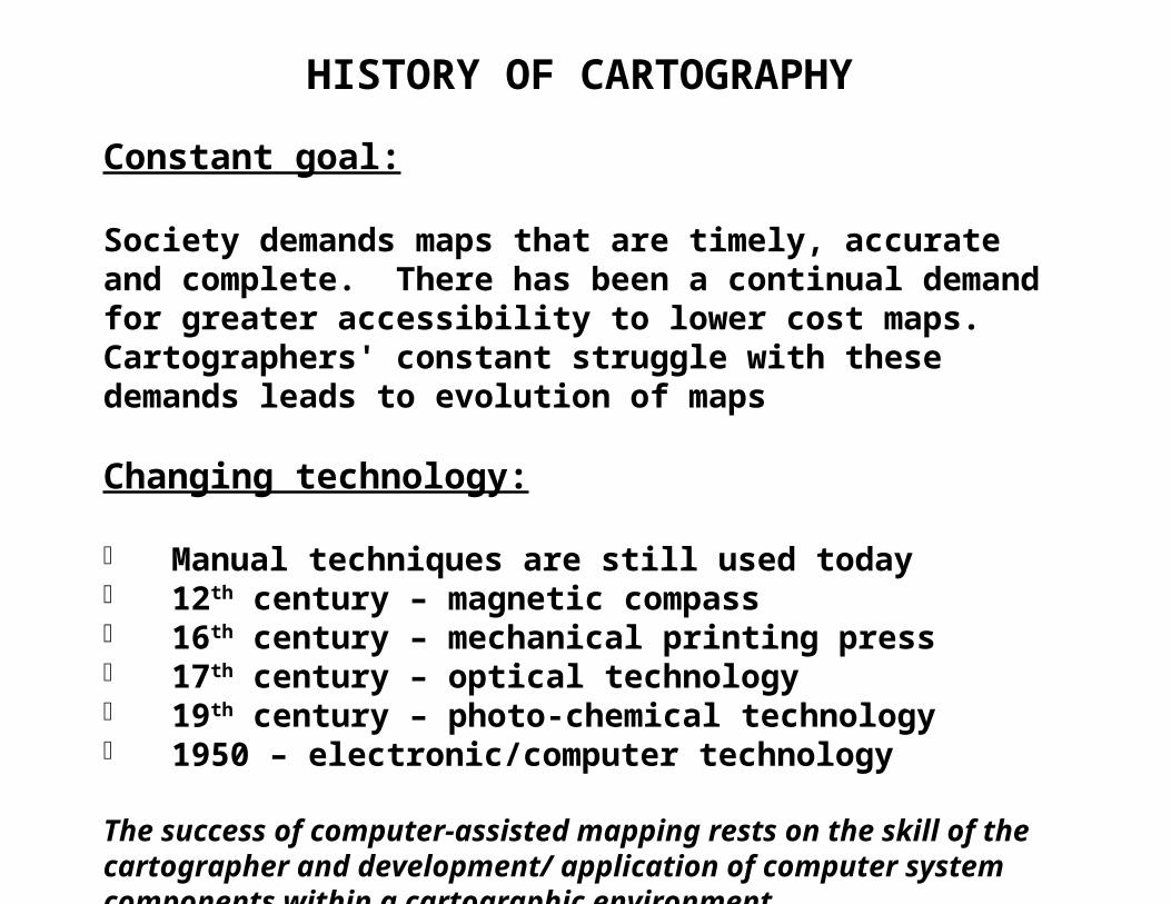
Constant goal:
Society demands maps that are timely, accurate and complete. There has been a continual demand for greater accessibility to lower cost maps. Cartographers' constant struggle with these demands leads to evolution of maps
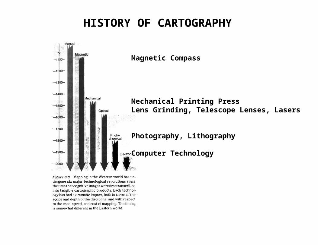
Changing technology:
Manual techniques are still used today 12th century – magnetic compass 16th century – mechanical printing press 17th century – optical technology 19th century – photo-chemical technology 1950 – electronic/computer technology
The success of computer-assisted mapping rests on the skill of the cartographer and development/ application of computer system components within a cartographic environment.
HISTORY OF CARTOGRAPHY
Magnetic Compass
Mechanical Printing PressLens Grinding, Telescope Lenses, Lasers
Photography, Lithography
Computer Technology

BASIC GEODESY
“Geodesy is the science that determines the figure of the
earth and the interrelation of selected points on its surface
by either direct or indirect techniques.”
“Mapping involves determining the geographic locations
of features on the earth, transforming these locations into
positions on a flat map through the use of map projection,
and graphically symbolizing these features.”
“Cursed be he who moves his neighbor’s boundary stone.”
BASIC GEODESY
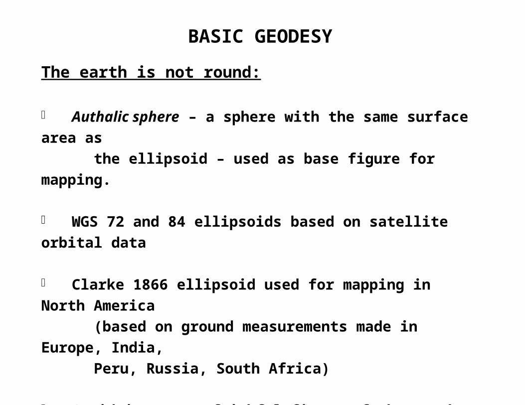
The earth is not round:
Authalic sphere – a sphere with the same surface area as
the ellipsoid – used as base figure for mapping.
WGS 72 and 84 ellipsoids based on satellite orbital data
Clarke 1866 ellipsoid used for mapping in North America
(based on ground measurements made in Europe, India,
Peru, Russia, South Africa)
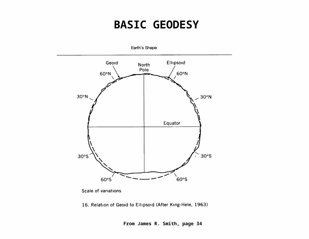
Geoid is a more faithful figure of the earth – 3D shape
approximated by mean sea level in the oceans and the
surface of a series of sea-level canals crisscrossing the
continents.
BASIC GEODESY
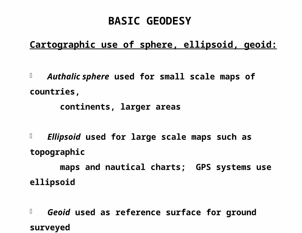
Cartographic use of sphere, ellipsoid, geoid:
Authalic sphere used for small scale maps of countries,
continents, larger areas
Ellipsoid used for large scale maps such as topographic
maps and nautical charts; GPS systems use ellipsoid
Geoid used as reference surface for ground surveyed
horizontal and vertical positions; elevations determined
relative to mean sea level geoid
BASIC GEODESY
From James R. Smith, page 34
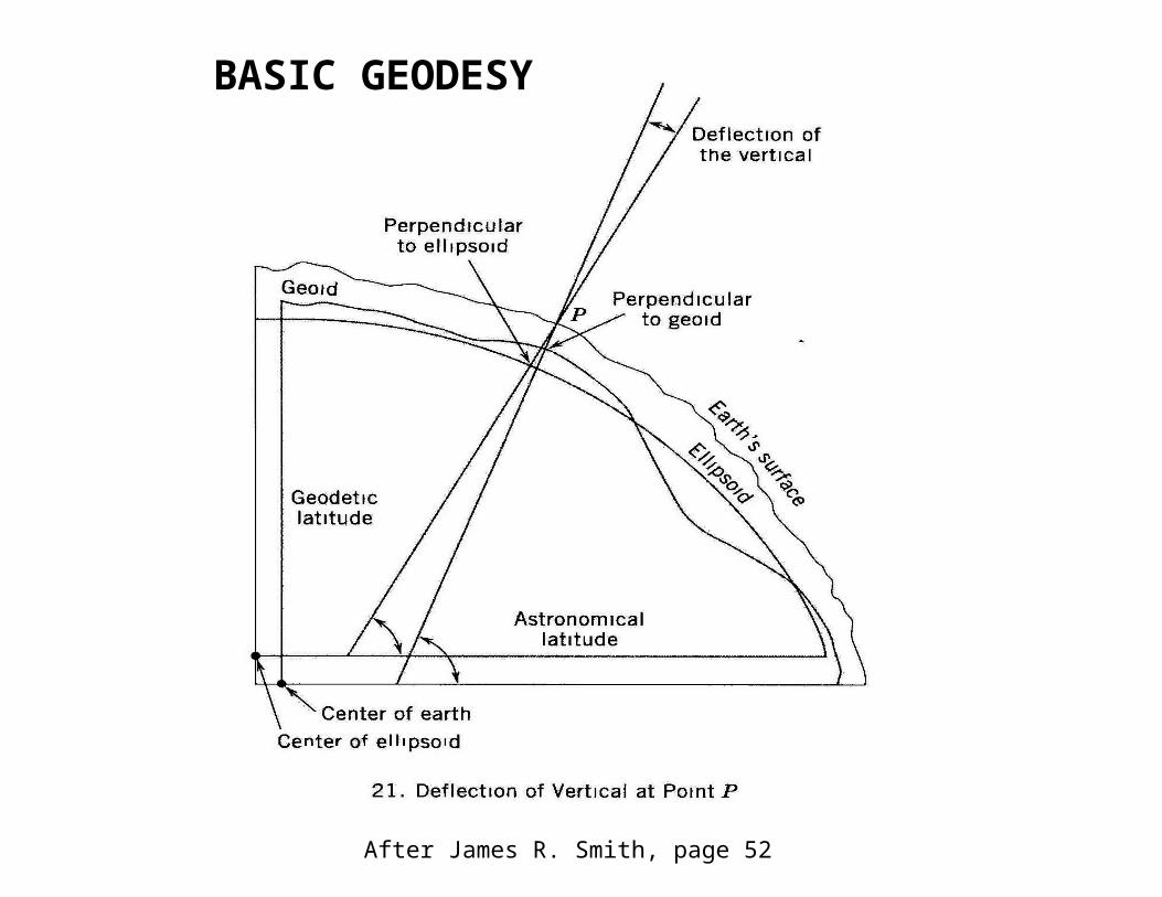
After James R. Smith, page 52
BASIC GEODESY
BASIC GEODESY
Direction on the earth:
Geographic/true directions determined by the orientation of the graticule on the earths' surface
Magnetic directions must take into account the compass variation/magnetic declination
True azimuth – clockwise angle a great circle makes with the meridan at point of origin (changes constantly along the arc) great circles = shortest distance between points
Constant azimuth – line which makes a fixed angle with all meridians (rhumb line or loxodrome); spirals to pole