galen a. scott
DESCRIPTION
COASTAL Briefing NGS Convocation October 27, 2005. Galen A. Scott. What is NGS COASTAL?. A new NGS Team to formalize a relationship with CO-OPS that has been project based for many years. CO-OPS: Non-navigational applications of tides, water levels and tidal datums NGS: - PowerPoint PPT PresentationTRANSCRIPT
Galen A. Scott
COASTAL BriefingNGS Convocation
October 27, 2005
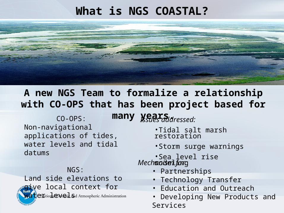
What is NGS COASTAL?
CO-OPS: Non-navigational applications of tides, water levels and tidal datums
NGS:Land side elevations to give local context for water levels
A new NGS Team to formalize a relationship with CO-OPS that has been project based for many years.
Mechanism for:• Partnerships• Technology Transfer• Education and Outreach• Developing New Products and Services
Issues addressed:•Tidal salt marsh restoration•Storm surge warnings•Sea level rise modeling
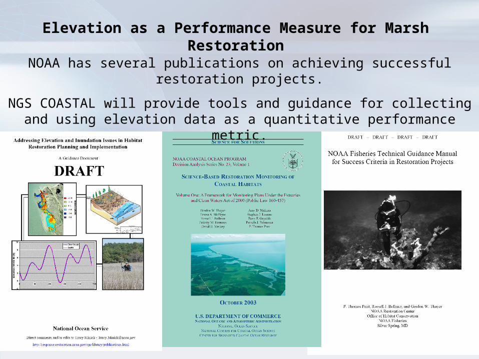
NOAA has several publications on achieving successful restoration projects.
NGS COASTAL will provide tools and guidance for collecting and using elevation data as a quantitative performance metric.
Elevation as a Performance Measure for Marsh Restoration
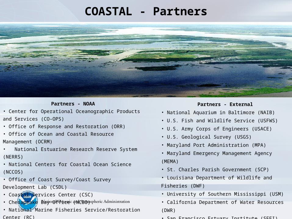
COASTAL - Partners
Partners - External
• National Aquarium in Baltimore (NAIB)
• U.S. Fish and Wildlife Service (USFWS)
• U.S. Army Corps of Engineers (USACE)
• U.S. Geological Survey (USGS)
• Maryland Port Administration (MPA)
• Maryland Emergency Management Agency (MEMA)
• St. Charles Parish Government (SCP)
• Louisiana Department of Wildlife and Fisheries (DWF)
• University of Southern Mississippi (USM)
• California Department of Water Resources (DWR)
• San Francisco Estuary Institute (SFEI)
Partners - NOAA
• Center for Operational Oceanographic Products and Services
(CO-OPS)
• Office of Response and Restoration (ORR)
• Office of Ocean and Coastal Resource Management (OCRM)
• National Estuarine Research Reserve System (NERRS)
• National Centers for Coastal Ocean Science (NCCOS)
• Office of Coast Survey/Coast Survey Development Lab (CSDL)
• Coastal Services Center (CSC)
• Chesapeake Bay Office (NCBO)
• National Marine Fisheries Service/Restoration Center (RC)
• National Weather Service (NWS)
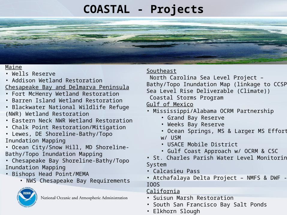
COASTAL - Projects
Maine• Wells Reserve• Addison Wetland RestorationChesapeake Bay and Delmarva Peninsula• Fort McHenry Wetland Restoration• Barren Island Wetland Restoration• Blackwater National Wildlife Refuge (NWR) Wetland Restoration• Eastern Neck NWR Wetland Restoration• Chalk Point Restoration/Mitigation• Lewes, DE Shoreline-Bathy/Topo Inundation Mapping• Ocean City/Snow Hill, MD Shoreline-Bathy/Topo Inundation Mapping• Chesapeake Bay Shoreline-Bathy/Topo Inundation Mapping• Bishops Head Point/MEMA
• NWS Chesapeake Bay Requirements
Southeast North Carolina Sea Level Project – Bathy/Topo Inundation Map (linkage to CCSP Sea Level Rise Deliverable (Climate)) Coastal Storms ProgramGulf of Mexico• Mississippi/Alabama OCRM Partnership
• Grand Bay Reserve• Weeks Bay Reserve• Ocean Springs, MS & Larger MS Effort w/ USM• USACE Mobile District• Gulf Coast Approach w/ OCRM & CSC
• St. Charles Parish Water Level Monitoring System• Calcasieu Pass• Atchafalaya Delta Project – NMFS & DWF - IOOSCalifornia• Suisun Marsh Restoration• South San Francisco Bay Salt Ponds• Elkhorn Slough• Coastal Storms ProgramPacific Northwest• Coos Bay, South Slough Reserve, OR
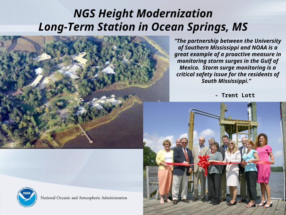
NGS Height ModernizationLong-Term Station in Ocean Springs, MS
“The partnership between the University of Southern Mississippi and NOAA is a
great example of a proactive measure in monitoring storm surges in the Gulf of Mexico. Storm surge monitoring is a
critical safety issue for the residents of South Mississippi.”
- Trent Lott
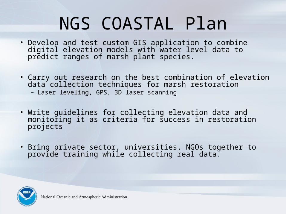
NGS COASTAL Plan• Develop and test custom GIS application to combine digital
elevation models with water level data to predict ranges of marsh plant species.
• Carry out research on the best combination of elevation data collection techniques for marsh restoration– Laser leveling, GPS, 3D laser scanning
• Write guidelines for collecting elevation data and monitoring it as criteria for success in restoration projects
• Bring private sector, universities, NGOs together to provide training while collecting real data.
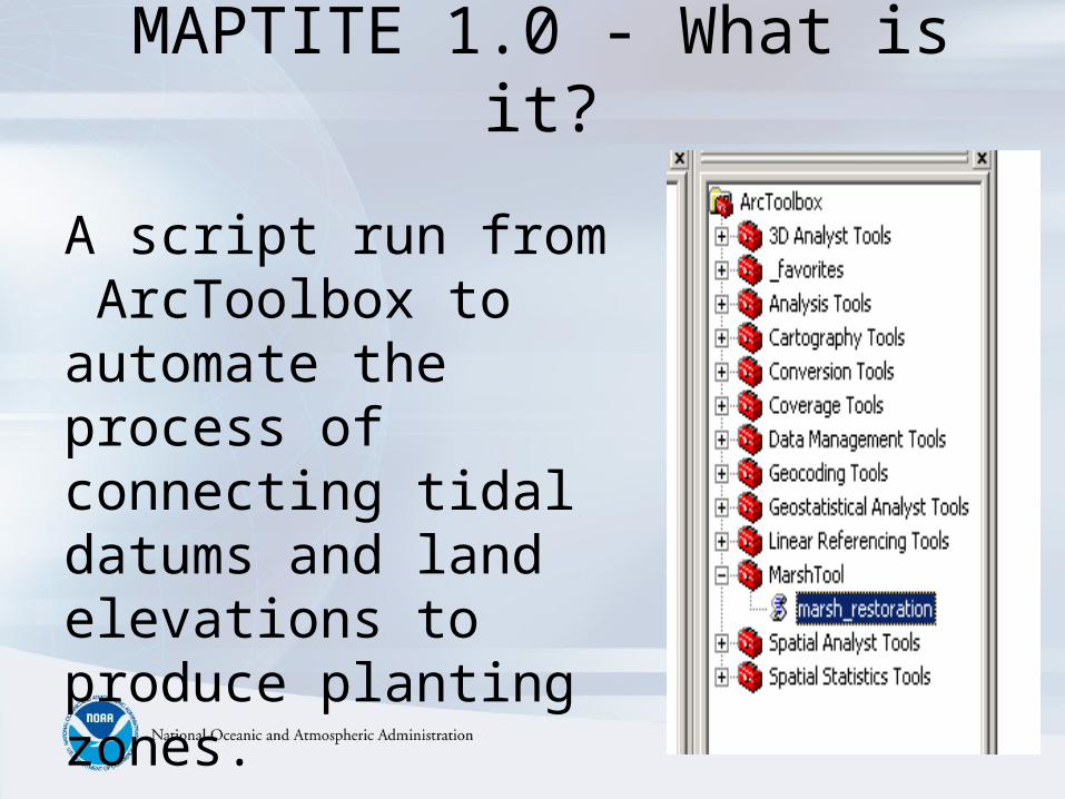
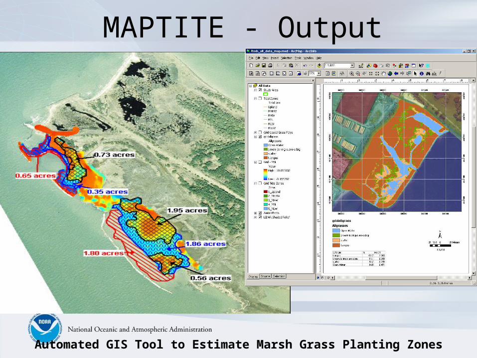
MAPTITE 1.0 - What is it?
A script run from ArcToolbox to automate the process of connecting tidal datums and land elevations to produce planting zones.
N
Automated GIS Tool to Estimate Marsh Grass Planting Zones
MAPTITE - Output

Re-engineering of the Wetlands - 2004
April 2005
VADM Lautenbacher Visits the Fort McHenry Restoration Site - TWICE
“The wetlands have never been healthier.”-Glen Page
Director of Conservation, NAIB April 2005
April 2004

Stewardship of the Coastal &Ocean Environments
Vice Admiral Conrad C. Lautenbacher, Jr., U.S. Navy (Ret.)Under Secretary of Commerce for Oceans & Atmosphere
NOAA Administrator
April 22, 2005
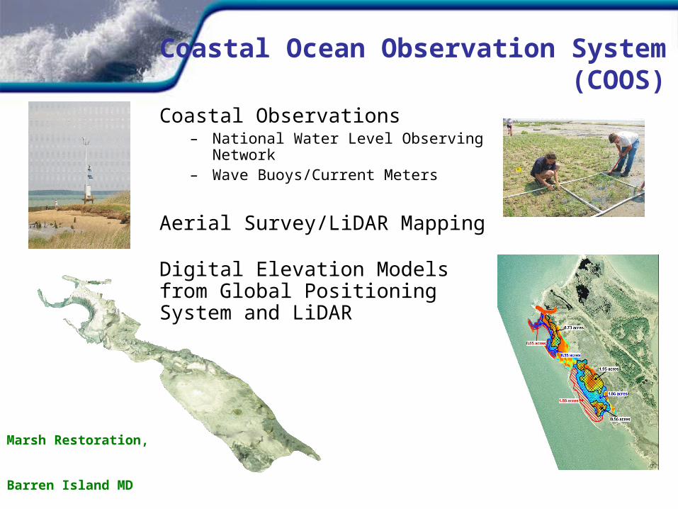
Coastal Ocean Observation System(COOS)
Coastal Observations– National Water Level Observing
Network– Wave Buoys/Current Meters
Aerial Survey/LiDAR Mapping
Digital Elevation Models from Global Positioning System and LiDAR
Marsh Restoration,
Barren Island MD
• Administration’s Wetlands Initiative– Through the combined efforts of NOAA and partner Federal
agencies will create, improve, and protect at least 3 million wetland acres over the next 5 years
• Fostering Local Restoration Projects– Locally led coastal habitat restoration projects are flourishing all
across the country. The Administration encourages successful community-based approaches and management techniques to protect coastal habitat
Conserve and RestoreCoastal Habitat
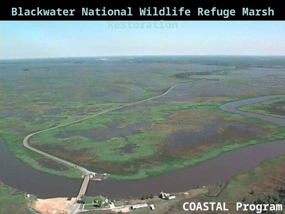
Blackwater National Wildlife Refuge Marsh Restoration
COASTAL Program
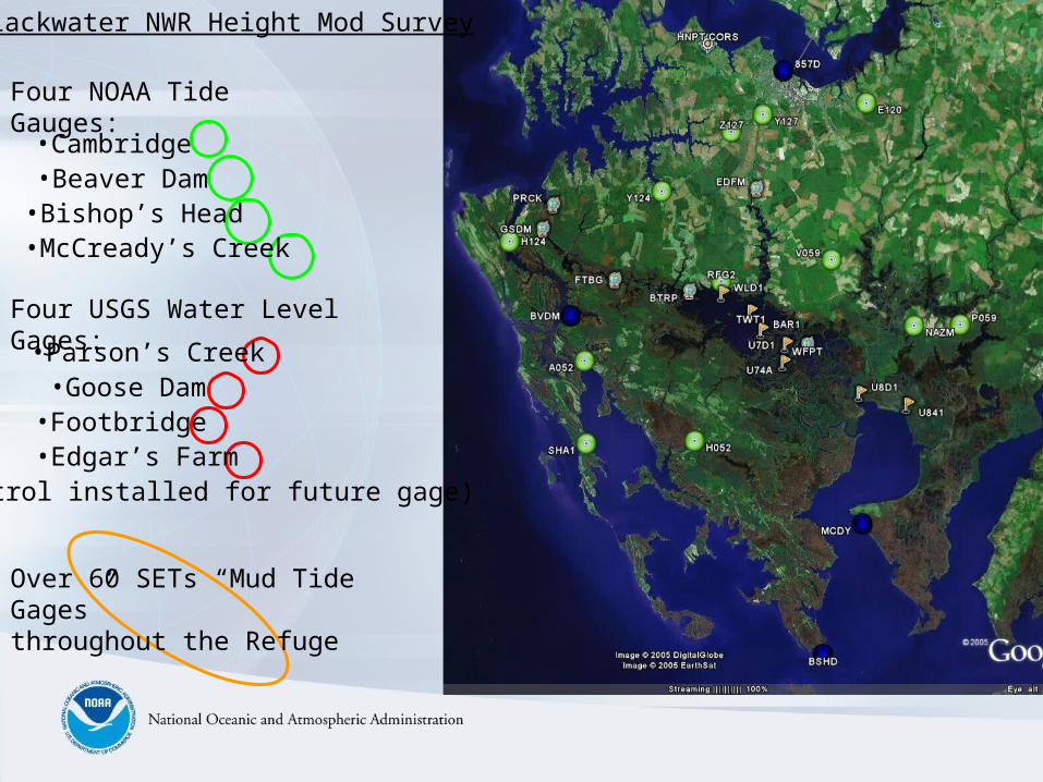
Four NOAA Tide Gauges:
Four USGS Water Level Gages:
Over 60 SETs “Mud Tide Gages”throughout the Refuge
•Cambridge
•Bishop’s Head•McCready’s Creek
•Beaver Dam
•Parson’s Creek•Goose Dam•Footbridge•Edgar’s Farm
(Control installed for future gage)
Blackwater NWR Height Mod Survey

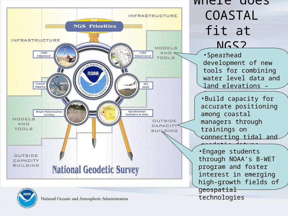
Where does COASTAL fit
at NGS?•Spearhead development of new tools for combining water level data and land elevations – i.e.. MAPTITE
•Build capacity for accurate positioning among coastal managers through trainings on connecting tidal and geodetic datums.
•Engage students through NOAA’s B-WET program and foster interest in emerging high-growth fields of geospatial technologies
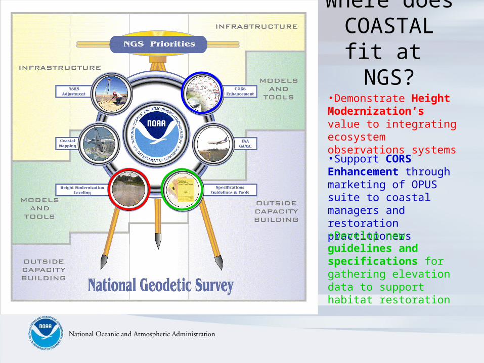
Where does COASTAL fit
at NGS?
•Support CORS Enhancement through marketing of OPUS suite to coastal managers and restoration practitioners
•Develop new guidelines and specifications for gathering elevation data to support habitat restoration
•Demonstrate Height Modernization’s value to integrating ecosystem observations systems
Questions or Comments?
Contact:
Galen ScottNGS COASTAL Team Leader
[email protected](301) 713-3198 x 131