fieldwork at school - agta · why is fieldwork important? “geographical inquiry involves students...
TRANSCRIPT
School Site Based Fieldwork
Bringing Geography to Life
Alexandria Lucas Warners Bay High School, NSW
[email protected] AGTA 2017

Why Is Fieldwork Important?
“Geographical inquiry involves students acquiring, processing and communicating geographical information. Through an inquiry approach students explain patterns, evaluate consequences and contribute to the management of places and environments in an increasingly complex world. This process enables them to apply inquiry skills including: asking distinctively geographical questions; planning an inquiry and evaluating information; processing, analysing and interpreting that information; reaching conclusions based on evidence and logical reasoning; evaluating and communicating their findings; and reflecting on their inquiry and responding, through action, to what they have learned. Engagement in fieldwork and the use of other tools including mapping and spatial technologies are fundamental to geographical inquiry.”
Rationale
NSW Syllabus for the Australian Curriculum Geography
Why Is Fieldwork Important?
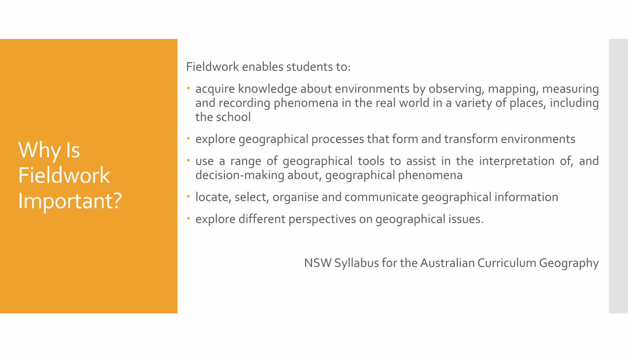
Fieldwork enables students to:
acquire knowledge about environments by observing, mapping, measuring and recording phenomena in the real world in a variety of places, including the school
explore geographical processes that form and transform environments
use a range of geographical tools to assist in the interpretation of, and decision-making about, geographical phenomena
locate, select, organise and communicate geographical information
explore different perspectives on geographical issues.
NSW Syllabus for the Australian Curriculum Geography

Why Is Fieldwork Important?
Fieldwork activities should be carefully planned to achieve syllabus outcomes.
It is essential that fieldwork activities are integrated with the teaching and learning program in order to take full advantage of the enhanced understanding that can be achieved through direct observation, field measurements and inquiry learning.
Fieldwork activities may be specific to a particular topic or may be integrated across the Geography curriculum.
Fieldwork should enhance the learning experiences for both students and staff alike

Fieldwork Opportunities Beyond the School Site

Fieldwork Opportunities Beyond the School Site
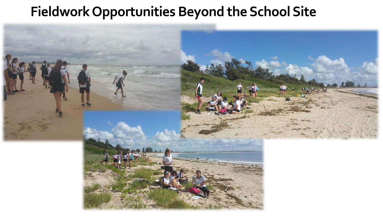
Fieldwork Opportunities Beyond the School Site
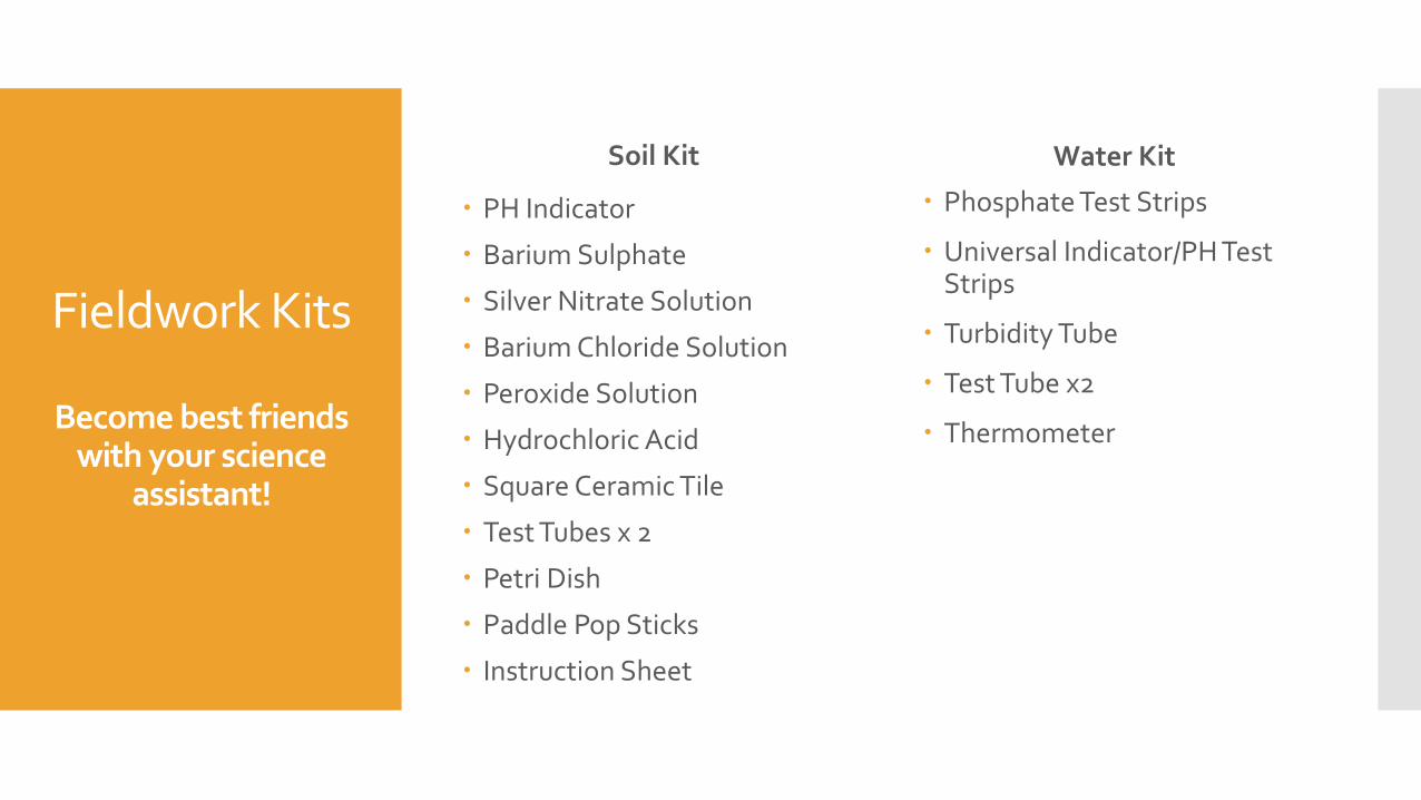
Phosphate Test Strips
Universal Indicator/PH Test Strips
Turbidity Tube
Test Tube x2
Thermometer
Fieldwork Kits
Become best friends with your science
assistant!
Soil Kit
PH Indicator
Barium Sulphate
Silver Nitrate Solution
Barium Chloride Solution
Peroxide Solution
Hydrochloric Acid
Square Ceramic Tile
Test Tubes x 2
Petri Dish
Paddle Pop Sticks
Instruction Sheet
Water Kit

Wet/dry Bulb Thermometer
Wind Meter
Compass
Fieldwork Kits
Weather Kit Biosphere Kit
Quadrant (1mx1m pipe)
Measuring tape
Species identification chart (of plant species found in the school ground – create using photographs)

Fieldwork Kits
Other Recommended Equipment:
Compass
Trundle Wheels
Clip Boards
Gloves (kids don’t like to get their hands dirty!)
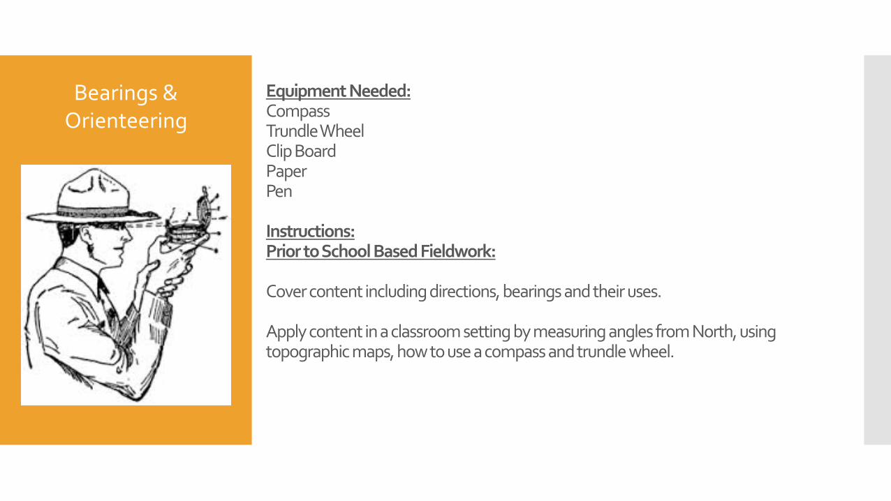
Equipment Needed: Compass Trundle Wheel Clip Board Paper Pen Instructions: Prior to School Based Fieldwork: Cover content including directions, bearings and their uses. Apply content in a classroom setting by measuring angles from North, using topographic maps, how to use a compass and trundle wheel.
Bearings & Orienteering

In ‘The Field’ Take students into the playground, placing them into groups of 3. Groups choose there own starting point, decide where they are going, measure the bearing they are walking on, measure the distance to the new location and then write down the first instruction on their sheet e.g. “walk on a bearing of 30 degrees for 50 meters. What do you find?” I suggest only 3 or 4 locations then swap with another group, as they get the hang of it they can build up to around 10 locations. Where this task will fall down: No matter how often you tell kids they do not have super powers, they always seem to write instructions assuming the other students will walk around the building or garden etc.! Syllabus link: Stage 5 skills continuum – Maps (pg. 34) More suited to Physical Geography units (Biomes and Environmental Change)
Bearings & Orienteering

Atmosphere Testing
Place and Liveability
Influences and perceptions –
examination of environmental factors that
influence perceptions of liveability
e.g. Climate
Context
Designed as an introductory task to Place and Liveability. Relate this topic to the place and liveability of the school playground, where do people sit during breaks? What areas are empty? Discuss what influences the perception of each location in the playground. Mind map the students’ findings on board. Do any environmental factors get mentioned? Climate may be an influence, eg hallways may get breezes, under a tree vs in the sun, behind wind blocks. Take students into the playground to test a number of locations that may be popular or not used in the playground. They can take atmospheric measurements to determine climate factors that may influence this and also take down observations of human features
Equipment: Atmosphere kit Paper Clip boards Pen
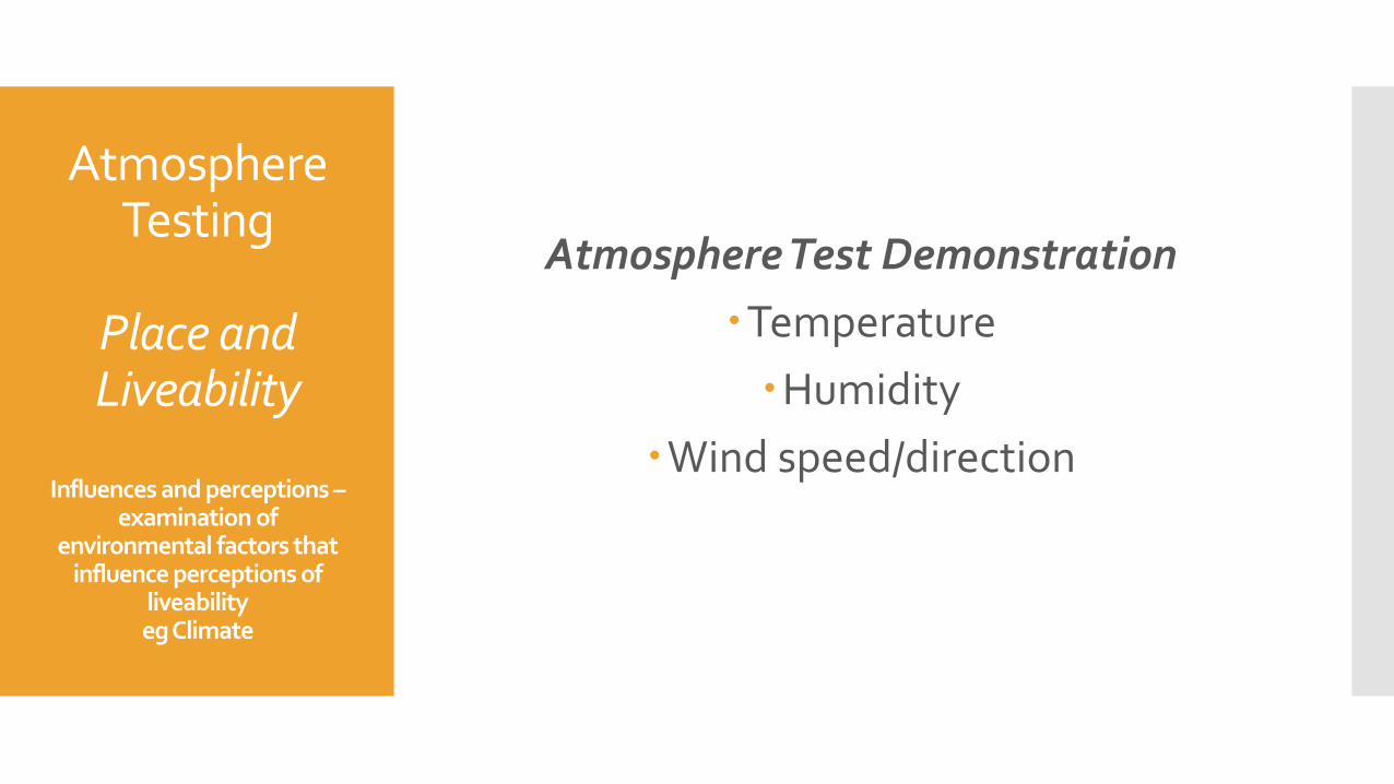
Atmosphere Test Demonstration Temperature Humidity
Wind speed/direction
Atmosphere Testing
Place and Liveability
Influences and perceptions –
examination of environmental factors that
influence perceptions of liveability eg Climate

Water Testing
Environmental Change and
Management
Environments & environmental change – Investigate the function
of the environment and investigate the human induced
change
Context:
It may be hard to visit a watercourse, but a water course can come to the classroom. Take various photos from different angles, use also google maps etc of a local creek, dam, lake, river, swamp. Also collect some water samples from different locations and get someone to take photos of you doing so. In this section of the syllabus students are to understand the role and importance of a local environment and the way human are changing it, and then continue on to how to manage the environment. What better way then to start with a local case study. After examining the importance of the environment have students test the water from various locations to see if there are any human impacts present.
Equipment:
Water test kit
Pen
Paper

Water Testing Demonstration PH
Phosphate Turbidity
Water Testing
Environmental Change and
Management
Environments & environmental change –
Investigate the function of the environment and investigate the human induced change

Soil Testing
Sustainable Biomes
Food Production – investigate
environmental factors influencing food production
Context:
Students are given a set of environmental conditions in which they must grow a lima bean seed. Variations can include amounts of sunlight, types of soil; garden potting soil, sand, clay, powdered charcoal, water or salt water, drainage, temperatures. Students predict what will happen to their seed based on the conditions they have been given. Over the course of following two weeks students are to gather data about the seedlings.
Equipment: Soil Containers Additives e.g. salt, fertiliser, sand etc. Soil testing kit Seeds
Soil Testing
Sustainable Biomes
Food Production – investigate
environmental factors influencing food production
Soil test demonstrations See separate hand out

Model Making
Landscapes and Landforms
No-Cook Play Dough Recipe: 2 cup plain flour
1 cup salt
2 tbs oil
1 cup cold water
6 drops liquid food colouring
STEP 1 - Combine plain flour and salt.
STEP 2 - Add water, food colouring and oil. Mix until ingredients are combined.
STEP 3 - Knead well.
STEP 4 - If consistency is too wet add a little plain flour.

Model Making
Landscapes and Landforms

Model Making
Landscapes and Landforms
Exercises to complete with this task: Make the play dough
Create a landscape
Pour water over and watch the drainage patterns (this could also be used in water in the world)
Mark drainage patterns with wool
Measure contours with toothpicks and draw on
Create a topographic map
Create skills questions
Cut a slice of the play dough out to create a cross section
Draw the cross section
Change the vertical scale of the cross section to then start to introduce vertical exaggeration
Start vertical exaggeration exercises
