Surveying and Positioning Systems
VALKIR 7 GNSS GIS RECEIVERPC
gps, glonass, sbas, dgpsWINDOWS 10 DESKTOP OS
IT S TIME TO GO NORTHIT S TIME TO GO NORTH,,
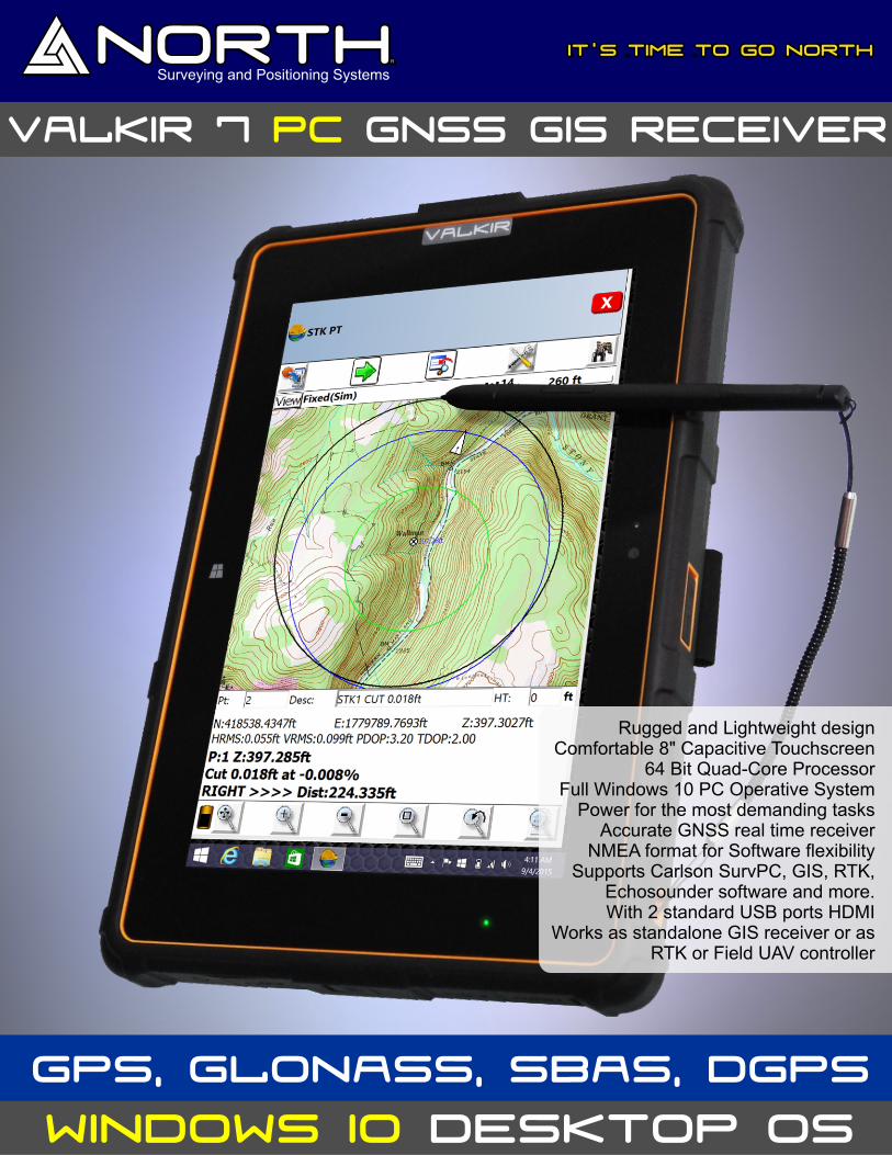
Rugged and Lightweight designComfortable 8" Capacitive Touchscreen
64 Bit Quad-Core ProcessorFull Windows 10 PC Operative System
Power for the most demanding tasksAccurate GNSS real time receiver
NMEA format for Software flexibilitySupports Carlson SurvPC, GIS, RTK,
Echosounder software and more.With 2 standard USB ports HDMI
Works as standalone GIS receiver or asRTK or Field UAV controller
Surveying and Positioning Systems
Authorized Dealer:
- Specifications are subject to change without previous notice. - This description may include typographical errors
VALKIR 6 GNSS GIS RECEIVERWINDOWS 10 DESKTOP OS
Valkir 7 GNSS Handheld Receiver / Tablet Controller Hardware
System Overview Physical
• GNSS receiver with internal antenna. Dimensions (WxHxD) 159mm x 233mm x 21mm
• Sunlight readable 8" transflective OLED HD Retina display Weight 350 g with battery
• Integrated 3G / EDGE cellular modem. Temperature
• Integrated Wi-Fi and Bluetooth 4® wireless technology Operating –20 °C to +60 °C
• 5 megapixel autofocus back camera / 2 megapixels frontal Storage –30 °C to +70 °C
• Windows 10 PC Operative System® Charging 0 °C to +45 °C
• IP67 Rugged and weather-resistant design Relative humidity 100% non-condensing
Maximum operating altitude 3,300m
Standard Set Maximum storage altitude 5,000m
• North Valkir 7 tablet with Microsoft Windows 10 PC Operative System (Android Option) Water and dust Ip67
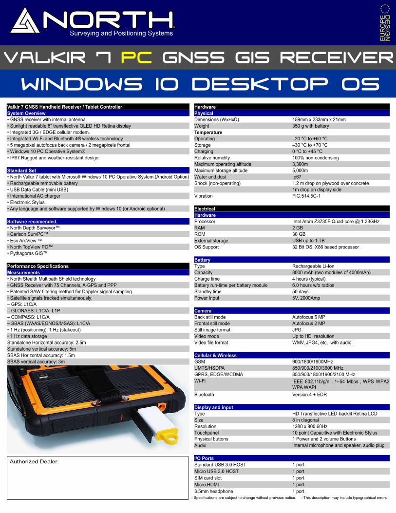
• Rechargeable removable battery Shock (non-operating) 1.2 m drop on plywood over concrete
• USB Data Cable (mini USB) 1m drop on display side
• International AC charger Vibration FIG.514.5C-1
• Electronic Stylus
• Any language and software supported by Windows 10 (or Android optional) Electrical
Hardware
Software recomended. Processor Intel Atom Z3735F Quad-core @ 1.33GHz
• North Depth Surveyor™ RAM 2 GB
• Carlson SurvPC™ ROM 30 GB
• Esri ArcView ™ External storage
• North TopView PC OS Support 32 Bit OS, X86 based processor
• Pythagoras GIS™
Battery
Performance Specifications Type Rechargeable Li-Ion
Measurements Capacity 8000 mAh (two modules of 4000mAh)
• North Stealth Multipath Shield technology Charge time 4 hours (typical)
• GNSS Receiver with 75 Channels, A-GPS and PPP Battery run-time per battery module 6.0 hours w/o radios
• Patented SAW filtering method for Doppler signal sampling Standby time 50 days
• Satellite signals tracked simultaneously: Power Input 5V, 2000Amp
– GPS: L1C/A
– GLONASS: L1C/A, L1P Camera
– COMPASS: L1C/A Back still mode Autofocus 5 MP
– SBAS (WAAS/EGNOS/MSAS): L1C/A Frontal still mode Autofocus 2 MP
• 1 Hz (positioning), 1 Hz (stakeout) Still image format JPG
• 1 Hz data storage Video mode Up to HD resolution
Standalone Horizontal accuracy: 2.5m Video file format WMV, JPG4, etc, with audio
Standalone vertical accuracy: 5m
SBAS Horizontal accuracy: 1.5m Cellular & Wireless
SBAS vertical accuracy: 3m GSM 900/1800/1900MHz
UMTS/HSDPA 850/900/2100/3600 MHz
GPRS, EDGE/WCDMA 850/900/1800/1900/2100 MHz
Wi-Fi
Bluetooth Version 4 + EDR
Display and input
Type HD Transflective LED-backlit Retina LCD
Size 8 in diagonal
Resolution 1280 x 800 60Hz
Touchpanel 10 point Capacitive with Electronic StylusPhysical buttons 1 Power and 2 volume Buttons
Audio Internal microphone and speaker, audio plug
I/O Ports
Standard USB 3.0 HOST 1 port
Micro USB 3.0 HOST 1 port
1 port
Micro HDMI 1 port
3.5mm headphone 1 port
USB up to 1 TB
IEEE 802.11b/g/n,1–54 Mbps,WPS WPA2 WPA WAPI
SIM card slot
VALKIR 7 GNSS GIS RECEIVERPC
™


