<Project Name>Smart Pathfinding Robot

The Trouble Quad
• Ozan MindekTeam Leader, Image Processing
• Tyson MoweryPackaging Specialist
• Jungwoo SeoWebmaster, Networking Expert
• Rehan ShahPathfinding Algorithm

Overview
• Maintains a dynamic environment map
• Dynamically calculates a feasible path to the next destination
• Recovers from out-of-path
• Provides user interface over embedded web server
An intelligent automated car that visits a given set of waypoints on a provided map
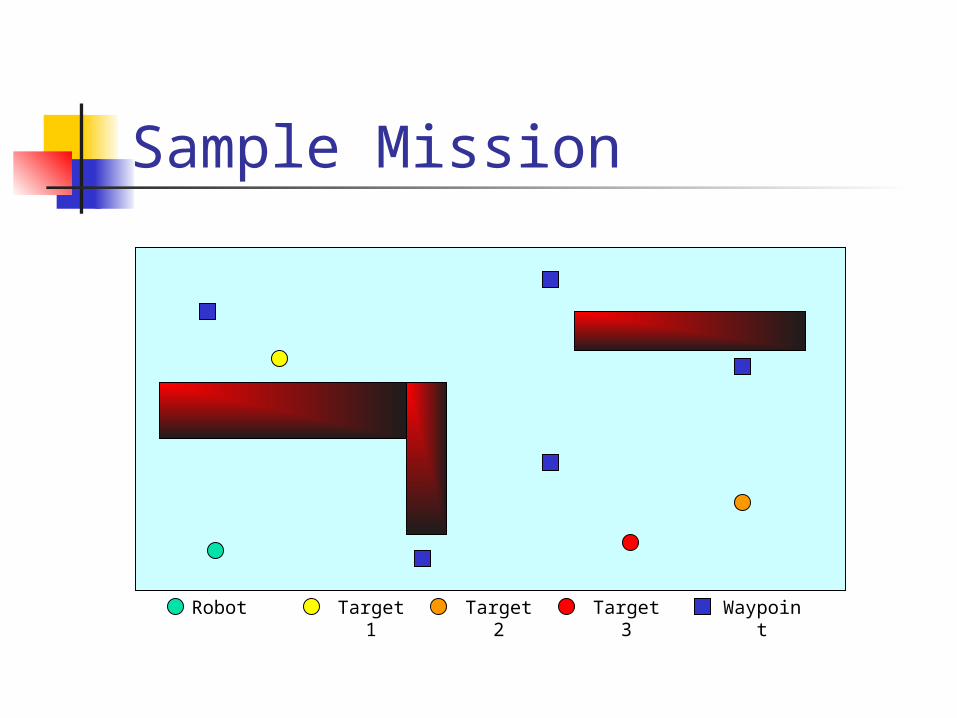
Sample Mission
Robot Target 1 Target 2 Target 3 Waypoint

Sample Mission
Robot Target 1 Target 2 Target 3 Waypoint
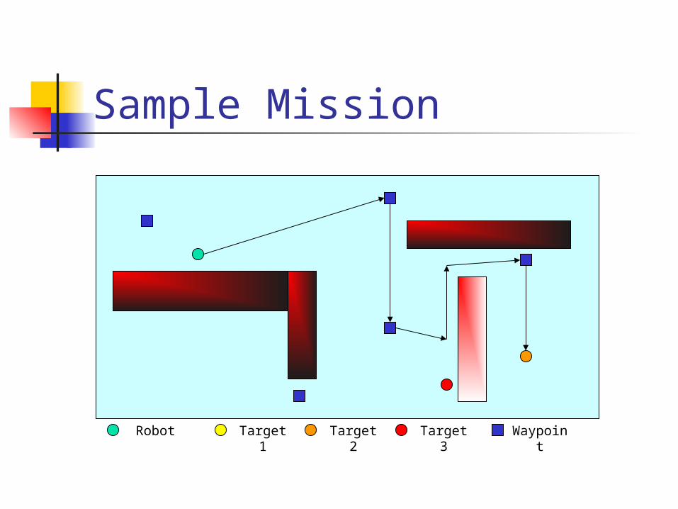
Sample Mission
Robot Target 1 Target 2 Target 3 Waypoint

Sample Mission
Robot Target 1 Target 2 Target 3 Waypoint

Block Diagram
RCM3300CMU Cam with interface
board
Image data
Left motor
Right motor
Motor control
Infrared distance sensor
Distance data
802.11b interface
Communication with WWW client

Packaging In-place turning
Two powered wheels
Round design Small and mobile
Small two-tiered base
Component Accessibility
Processor and bridge on top
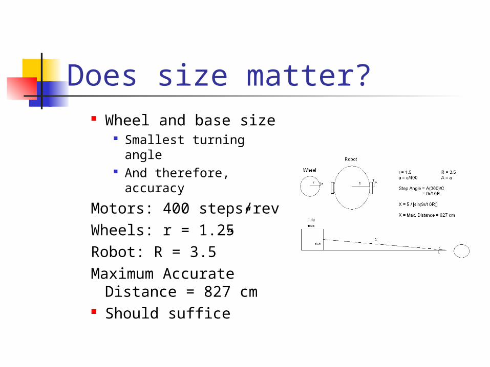
Does size matter? Wheel and base size
Smallest turning angle And therefore,
accuracy
Motors: 400 steps/revWheels: r = 1.25”Robot: R = 3.5”Maximum Accurate
Distance = 827 cm Should suffice
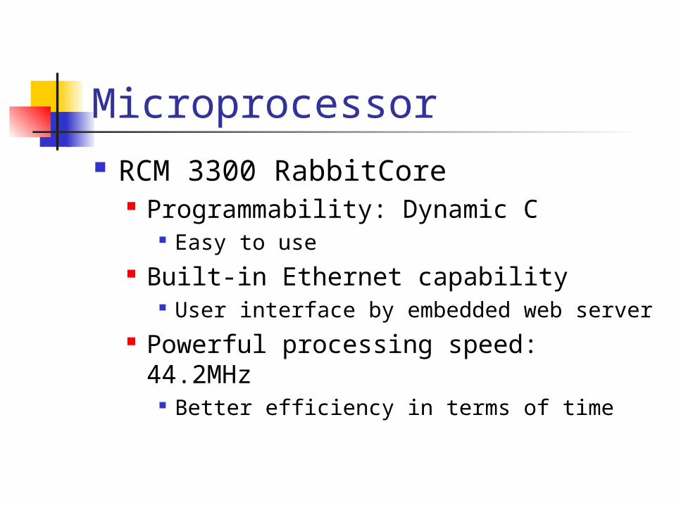
Microprocessor RCM 3300 RabbitCore
Programmability: Dynamic C Easy to use
Built-in Ethernet capability User interface by embedded web server
Powerful processing speed: 44.2MHz Better efficiency in terms of time

Camera CMU Camera
Proven reliability in the past At waypoints
Facing angle High resolution, 80*142
Color pattern At least 20 different colors (20*19*18)/6=1140 waypoints
More discussion in later part
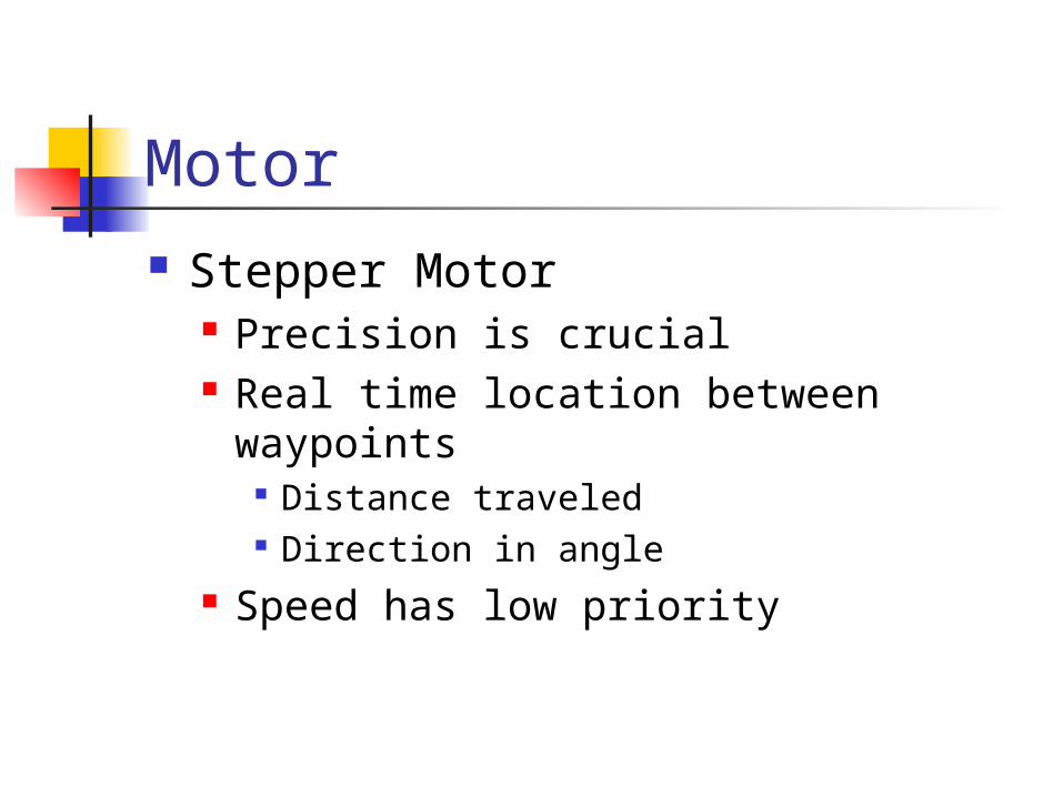
Motor Stepper Motor
Precision is crucial Real time location between waypoints
Distance traveled Direction in angle
Speed has low priority
Schematic

Image Processing Algorithm Special tiles at waypoints
Detecting position Detecting orientation
Compare colors to entries in waypoint table
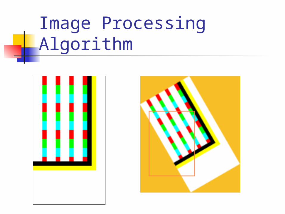
Image Processing Algorithm

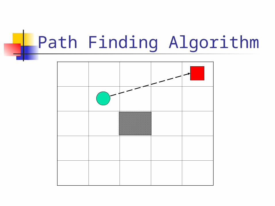
Path Finding Algorithm Area will be mapped out on a tiled
grid We use a coordinate system to keep
track of the position of the car (x,y) coordinates will be update
according to the revolution of the tires Car initially computes a feasible short
path to the destination

Path Finding Algorithm It computes the angle and distance to
the next waypoint along the path It then follows the waypoints on the
map At each waypoint, coordinates and
orientation are updated using data from the image processing algorithm.
If an obstacle is encountered, the current path is discarded and new path is dynamically generated

Path Finding Algorithm

Path Finding Algorithm

Path Finding Algorithm

Path Finding Algorithm
??
Path Finding Algorithm


