china’s regions
DESCRIPTION
China’s Regions. China can be divided into three major regions: Mountains to the west Including the Plateau of Tibet Deserts and basins in the northwest Tarim Basin Taklimakan Desert Mongol Plateau Low lying eastern regions - PowerPoint PPT PresentationTRANSCRIPT

China’s Regions China can be divided into three major regions:
Mountains to the west Including the Plateau of Tibet
Deserts and basins in the northwest Tarim Basin Taklimakan Desert Mongol Plateau
Low lying eastern regions Flood plains of the Huang He (Yellow) and Chang Jiang
(Yangtze) Rivers
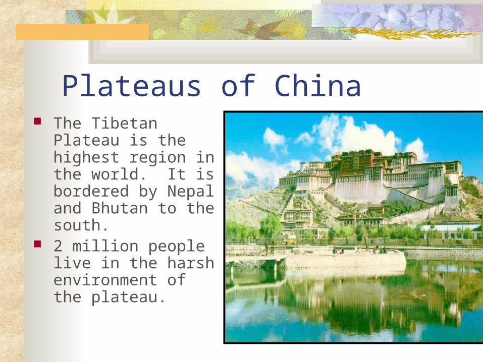
Plateaus of China The Tibetan Plateau
is the highest region in the world. It is bordered by Nepal and Bhutan to the south.
2 million people live in the harsh environment of the plateau.

Potala Palace, Lhasa, Tibet


Basins of China
Tarim Basin and Dzungarian Basin are too cold for growing crops so they are utilized by herders.

Tarim Basin

Eastern Region of China 2/3 of the people of China live in the
eastern region. This area is the cradle of Chinese civilization.
The alluvial plains are the most distinctive feature of the region where China’s economic and social life developed.

Major River Systems in China
Huang He (Yellow) and the Chang Jiang (Yangtze) Rivers empty in to the East China Sea.

The Yangtze River The Chang Jiang or
Yangtze River is China’s most important river. Much of it is navigable.
It provides a water route deep into the interior of China.

The Huang He (Yellow) River This river is
known as “China’s Sorrow” because of its frequent flooding, it has taken many lives.

Mongolia Mongolia is divided into two regions:
The Mongolian Altai Mountains in the northwest.
The steppe areas and Gobi Desert

Mountains in Mongolia The Mongolian
Altai Mountains form the border between Mongolia and Siberia

Gobi Desert

Gobi Desert
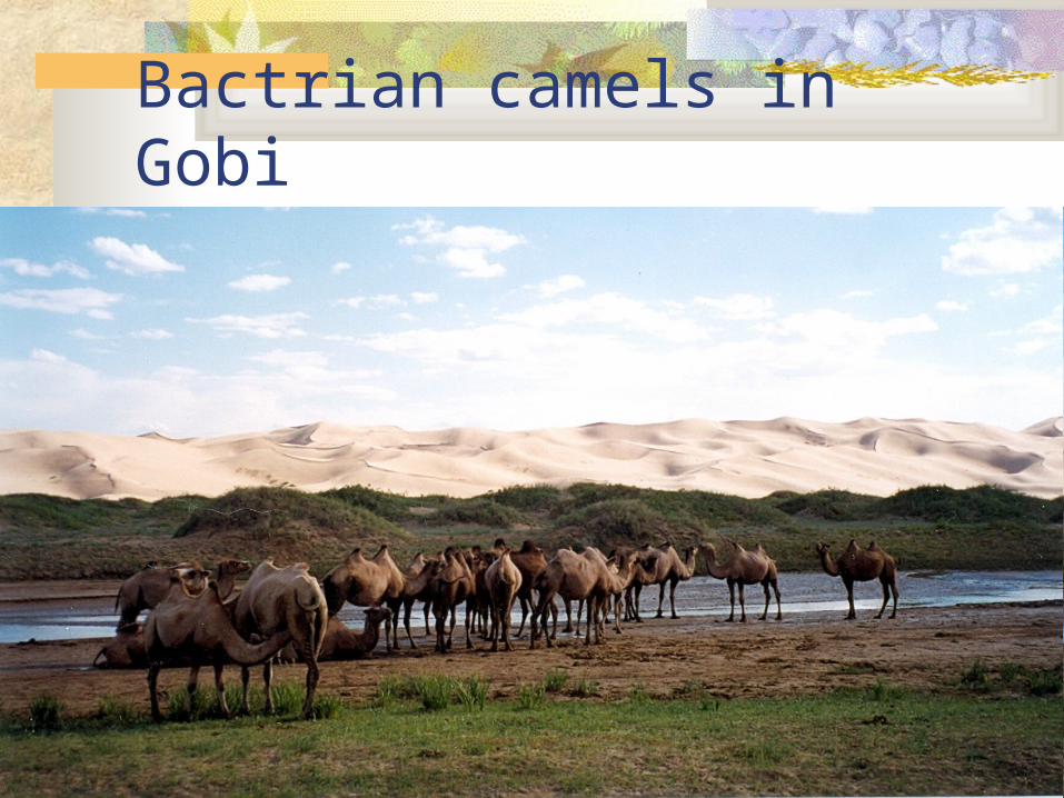
Bactrian camels in Gobi

The Gobi is one of the world's great deserts.
It covers 1.3 million square kilometers, extending 1,600 km from east to west across Central Asia, in southeast Mongolia and northern China.
It is from 1,000 m to 1,500 m in elevation, with cold winters, short hot summers, and fierce sand and wind storms.
Grassy fringe areas support a small population of nomadic Mongol herders.

Nomadic Herders in Mongolia