bridging the gap scientists/cavers buried issues –how are views of the world of cavers and...
TRANSCRIPT

Bridging the GapScientists/Cavers
• Buried Issues– How are views of the world of cavers and
scientists different; the same?– Open communication between the two groups– Develop training sessions
• Scientists to cavers; Cavers to scientists

Evolution General to Specific
• 1970s– WMD hydrogeologists interested in general
concepts; just learning
• 2000s– Can put “arms around springshed”– Can put “fingers around mapped caves”
– No further discussion

Data Form and Training
• Develop more complete data form to be used by divers
• Scientists/cavers develop form
• Divers collect data, fill out form, supply scientists with data
• FGS agreed to take lead
QA/QC Issues
• Associated with form and data collection
Land Owner Confidentiality
• Property rights and protection

Need for Additional Glossary
• Is it needed?
• If so, what terms need to be included?

Role in Watershed Management
• How do we incorporate cave data?

Ideal state study site“block of Rock”
• If needed, what would it look like and where would it be located
Issues not yet discussed
• Continued development of database
• Future technology
• Potential to fund divers to collect data– Associated liability

Buried Issues(Better Interaction)
– Educational Outreach• Scientists/cavers Cavers/Scientists• Organize meetings between groups• FGS to take lead
Develop “speakers bureau”• Scientists to attend Caver meetings• Scientists need to become more “entertaining”• FGS will try to coordinate
Buried Issues
• Develop message board – FGS to try to take lead (a workload?)

Data Form(To be filled out by willing cavers)
• General– Time, date, weather
• Physical (possible items; not all items)– Conduits/caves – size and shape– Features/morphology– Depth (ave, max)– Dist. of cave conduits– Mapping coordinates

Data Form
– Sediments (sand, clay,mud)– Photographs– Geological formations (to some extent)– Fossils & Artifacts occurrence – Modern artifacts– Mineralization– Colors/staining– Breakdown– Cohesiveness of cave material– Domes and chimneys, vents and rooms– Trib. Arrangement

Data Form
• Flow– Stage (relative); in/out– Velocity (dist/time)
• Quality– Clarity/turbidity– Water color (blue, black, green, milky, “mung”– Stratification– Location of temp, color, WQ, Halocline
change

Data Form
– Metered analytes (need meter)• pH, T, cond, DO, density (?)
– Water sample (need training)
• Biological– DEP “form”– Vegetation at entrance

Form
• Miscel– Sample – who for and what project– Location of sample collection
• Training– Scientists will need to train cavers– Cavers/Scientists go to each others meetings
• Caver meeting May 2004

QA/QC
• Adherence to QA/QC or sampling plans
• Training by scientists needed
• Keep divers “chain of command” to a minimum
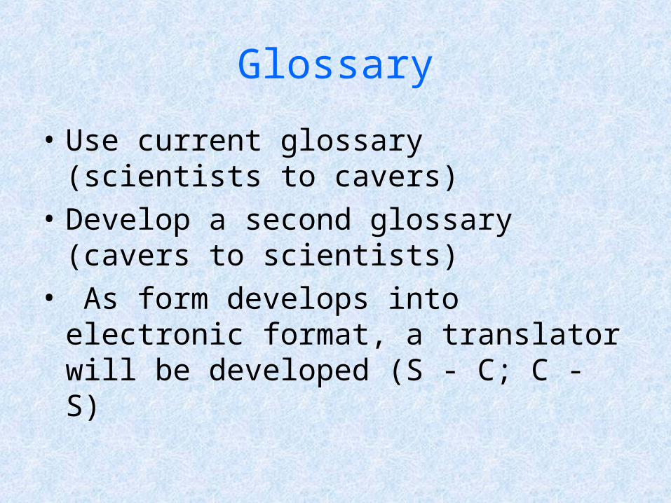
Glossary
• Use current glossary (scientists to cavers)
• Develop a second glossary (cavers to scientists)
• As form develops into electronic format, a translator will be developed (S - C; C - S)
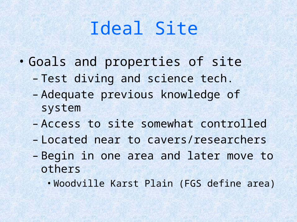
Ideal Site
• Goals and properties of site– Test diving and science tech.– Adequate previous knowledge of system– Access to site somewhat controlled– Located near to cavers/researchers – Begin in one area and later move to others
• Woodville Karst Plain (FGS define area)

Other Sites
• Man/Fan Eagles Nest
• Troy Weeki
• Itch Sulphur
• Madison Blue Wekiwa
• Peacock Rainbow
• Beacon Woods Silver

Role in Watershed Man.
• Information from cavers is critical
• Incorp. Locations of caves into WM Plans
• Incorporate Caver Maps into “Science”– Will need QA

Confidentiality
• Need letters of support for a legislative bill to protect land owner confidentiality
• Panel developed draft letter of support
• Other possible supporters– Hydroconsortium,– FAPG– NSS-CDS– Fla Museum of Nat. Hist.?

Future Technology