16/6/2006 walkonweb: your digital guide for walking in europe using a walk ontology for capturing...
Post on 19-Dec-2015
220 views
TRANSCRIPT
16/6/2006WalkOnWeb: your digital guide for walking in
Europe
Using a Walk Ontology for Capturing Language Independent Navigation Instructions
ELPUB 2006 conferenceBert PaepenKatholieke Universiteit Leuven

16/6/2006 WalkOnWeb
Contents
• WalkOnWeb project: starting points• Current shortcomings
for the modern hiker• Electronic publishing model• Single source publishing• Building a navigation ontology• Generating navigation instructions• Conclusions

16/6/2006 WalkOnWeb
Project starting points
• Any of these sounds familiar?– It’s Saturday evening. My wife gets the idea
to go walking on Sunday. 4-hour walk in surroundings of Spawe don’t have maps or books Where can we get information?
– We are walking with a walking guide through the woodsat a crossing all marks are gone: left or right? book’s description unclear, map not detailed
enough

16/6/2006 WalkOnWeb
Accidents happen…
16/6/2006 WalkOnWeb
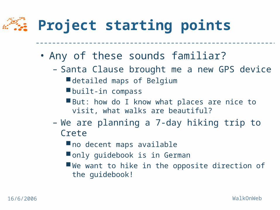
Project starting points
• Any of these sounds familiar?– Santa Clause brought me a new GPS device
detailed maps of Belgiumbuilt-in compassBut: how do I know what places are nice to visit,
what walks are beautiful?
– We are planning a 7-day hiking trip to Creteno decent maps availableonly guidebook is in GermanWe want to hike in the opposite direction of the
guidebook!

16/6/2006 WalkOnWeb
Current shortcomingsfor the modern hiker• Books and paper maps have disadvantages
– Not flexible: easily outdated, information is not customised, buy whole book, one language, one direction
• Traditional tools can still not be fully replaced by electronic tools – GPS devices allow limited navigation
Location on map Show course of trail No turn-by-turn navigation on topographic maps Almost no semantic information No additional information (e.g. legend about a tree)
– Poor overview on digital map Paper maps combine overview with detail ( GPS)

16/6/2006 WalkOnWeb
Current shortcomings for the modern hiker• Usefulness GPS devices completely depends
on availability – of digital map information– of digital, qualitative routing information
• Routing information not flexible– often derived from paper publications– Not yet flexible (e.g. you cannot compose your walk,
reverse your walk etc.)
• Reliability GPS?– Battery life– GPS reception
• Devices not always user-friendly

16/6/2006 WalkOnWeb
Electronic publishing model
• more flexibility for hikers– digital mapping for GPS devices & other
mobile applications– digital routing information– turn-by-turn navigation– customizable content – more online updating
• cost-efficient and user-friendly content creation platform
• collect and integrate data from different sources

16/6/2006 WalkOnWeb
Electronic publishing model Applications supporting this model
• Walk Planner – Website – Search for walks, compose your own walk, download
to mobile device, print– “my walks” online library
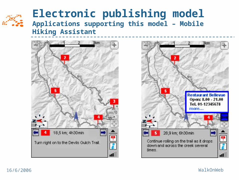
• Mobile Hiking Assistant – Walking guide on mobile device– Turn-by-turn navigation, POIs, texts, pictures
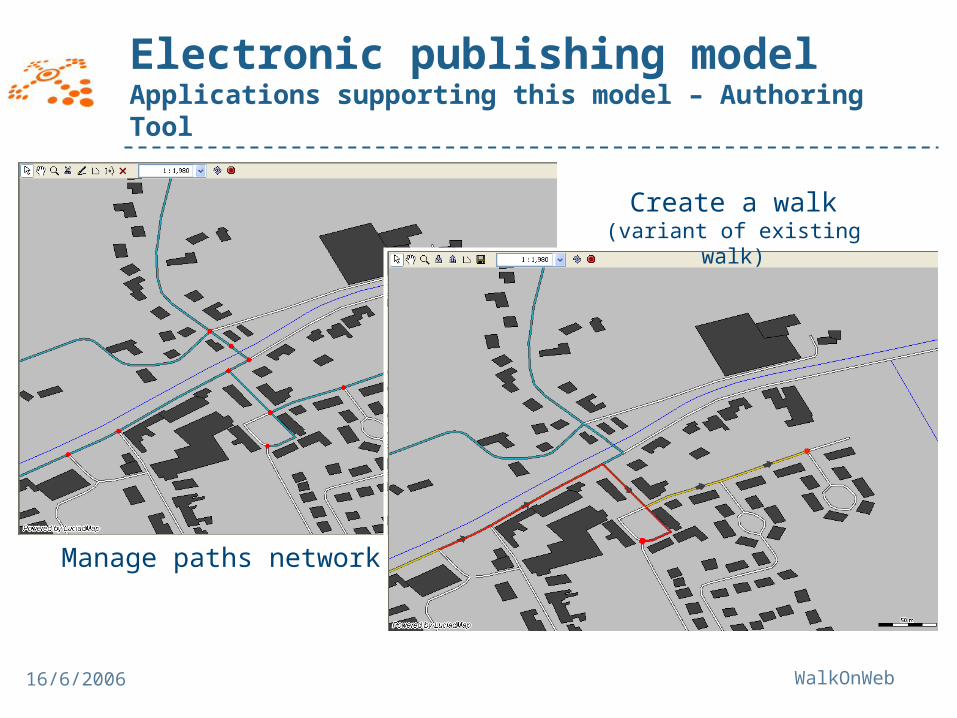
• Authoring Tool – Application for authors to create and maintain walks– Standardised authoring: language independent– Mobile authoring

16/6/2006 WalkOnWeb
Electronic publishing model Applications supporting this model – Walk Planner
16/6/2006 WalkOnWeb
Electronic publishing model Applications supporting this model – Mobile Hiking Assistant
16/6/2006 WalkOnWeb
Electronic publishing model Applications supporting this model – Authoring Tool
Manage paths network
Create a walk(variant of existing walk)

16/6/2006 WalkOnWeb
Electronic publishing model
• How do we structure a route?– Separation between
Geo-spatial informationContent related information
– Route = independent from map– Network of interconnected paths– Author creates walk on this network
Content enrichment

16/6/2006 WalkOnWeb
Electronic publishing model
Map
Pathsnetwork
Walk
Navigation instruction
Navigation instruction
POI Media object Viewpoint
Link

16/6/2006 WalkOnWeb
Electronic publishing model
Media objects
Narratives
Points of Interest (POI’s)
Natural languageroute directions
Route
Topographic (vector) data
Wal
k
Geo
-spa
tial
Con
tent
rel
ated
Walk features
Route directions
Obj
ects
of i
nter
est
Rou
te
navi
gatio
n
Practical information
Legend
LineWalkFeature
PointWalkFeature
Ontology-based link
Non-ontology-based link
Node

16/6/2006 WalkOnWeb
Electronic publishing model
• Ontology based links– Links with meaning
Point of interestType: HotelName: LodgeSpatial relation: pass by
Route
Route
Navigation point
Navigation point
Information point
Information point
N
village
English:
“pass by hotel Lodge”
French:
“passer par hôtel Lodge”
Dutch:
“passeer voorbij hotel Lodge”

16/6/2006 WalkOnWeb
Single source publishing
• Create one source – publish to many formats
• Utopean idea?• Problems
– Languages– Cross media adaptations Source = hard + expensive to maintain
• Ontology approach• Language independent authoring• Context dependent rendering
16/6/2006 WalkOnWeb
Single source publishing
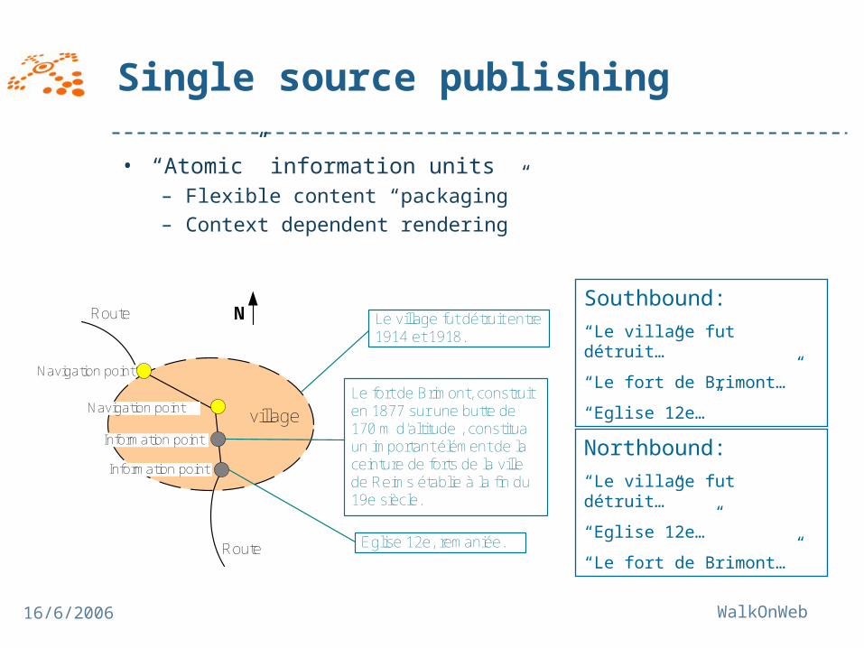
• “Atomic” information units– Flexible content “packaging”– Context dependent rendering
Le village fut détruit entre 1914 et 1918.
Le fort de Brimont, construit en 1877 sur une butte de 170 m d’altitude , constitua un important élément de la ceinture de forts de la ville de Reims établie à la fin du 19e siècle.
Eglise 12e, remaniée.
Route
Route
Navigation point
Navigation point
Information point
Information point
N
village
Southbound:
“Le village fut détruit…”
“Le fort de Brimont…”
“Eglise 12e…”
Northbound:
“Le village fut détruit…”
“Eglise 12e…”
“Le fort de Brimont…”

16/6/2006 WalkOnWeb
Single source publishingontology approach
• Standardised vocabulary– Walk- and navigation ontology
Navigation instructionType: change movementDirection: ahead rightGeo object: churchSpatial relation: in front of
Route
Route
Navigation point
Navigation point
Information point
Information point
N
village
Navigation instructionType: continuation movementDirections: ahead, downhill
Southbound:
“continue straight ahead downhill”
“turn right ahead in front of church”
Northbound:
“turn left ahead in front of church”
“continue straight ahead uphill”
16/6/2006 WalkOnWeb
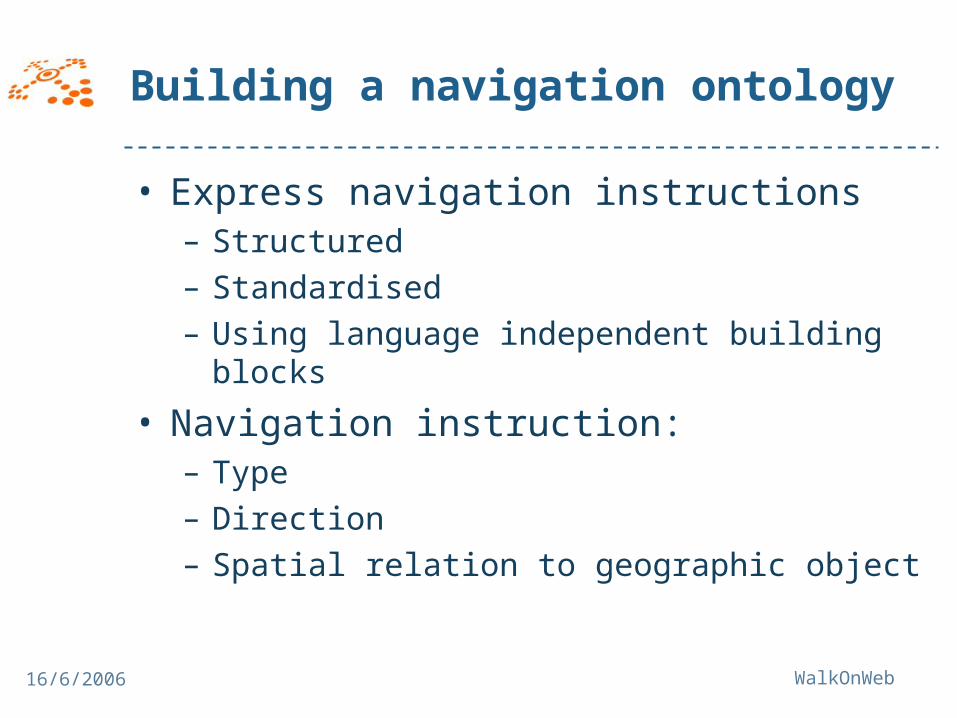
Building a navigation ontology
• Express navigation instructions– Structured– Standardised– Using language independent building blocks
• Navigation instruction:– Type– Direction– Spatial relation to geographic object

16/6/2006 WalkOnWeb
Building a navigation ontology
Types of navigation instruction

16/6/2006 WalkOnWeb
Building a navigation ontology
Navigation ontology: “building blocks”

16/6/2006 WalkOnWeb
Generating navigation instructionsExample
• Generated texts:– Dutch: ga naar links, ga “Wezel Dreve” in– English: turn left, enter “Wezel Dreve”– French: tourner à gauche, entrer dans
“Wezel Dreve”
Instruction type ChangeMovement
Direction Left
Geographic object
“Wezel Dreve”
Spatial relation Enter

16/6/2006 WalkOnWeb
Generating navigation instructions
• Ontology approach flexibility– Generating opposite direction texts– Different content generation for different
purposesWeb site: enter “Wezel Dreve”Paper: turn left, enter “Wezel Dreve”Mobile device: Wezel Dreve
– Author uses own language– Adding a language:
Translate building blocks– E.g.: Left (RelativeXYDirection):Bulgarian: наляво
Adapt text generation scripts

16/6/2006 WalkOnWeb
Conclusions
• Demonstration: ontology for rich & flexible content creation
• User friendly authoring tool needed• Attitude shift for authors
– Loose freedom?– Use bidirectional landmarks– Fine-grained route structure
• Pedestrian navigation instructions require human authoring
• Also for car navigation?
16/6/2006 WalkOnWeb
Thank you for your attention
> Subscribe to the WalkOnWeb newsletter!