1 hazard management from cadastral informations point of view - natech disasters in finland arvo...
TRANSCRIPT
1
Hazard Management from cadastral informations point of view- Natech Disasters in Finland
Arvo KokkonenDeputy Director General
Permanent Committee on Cadastrein the European Union
21 - 22 November 2011Warsaw, Poland
NATIONAL LAND SURVEY – DOWN TO EARTH
2
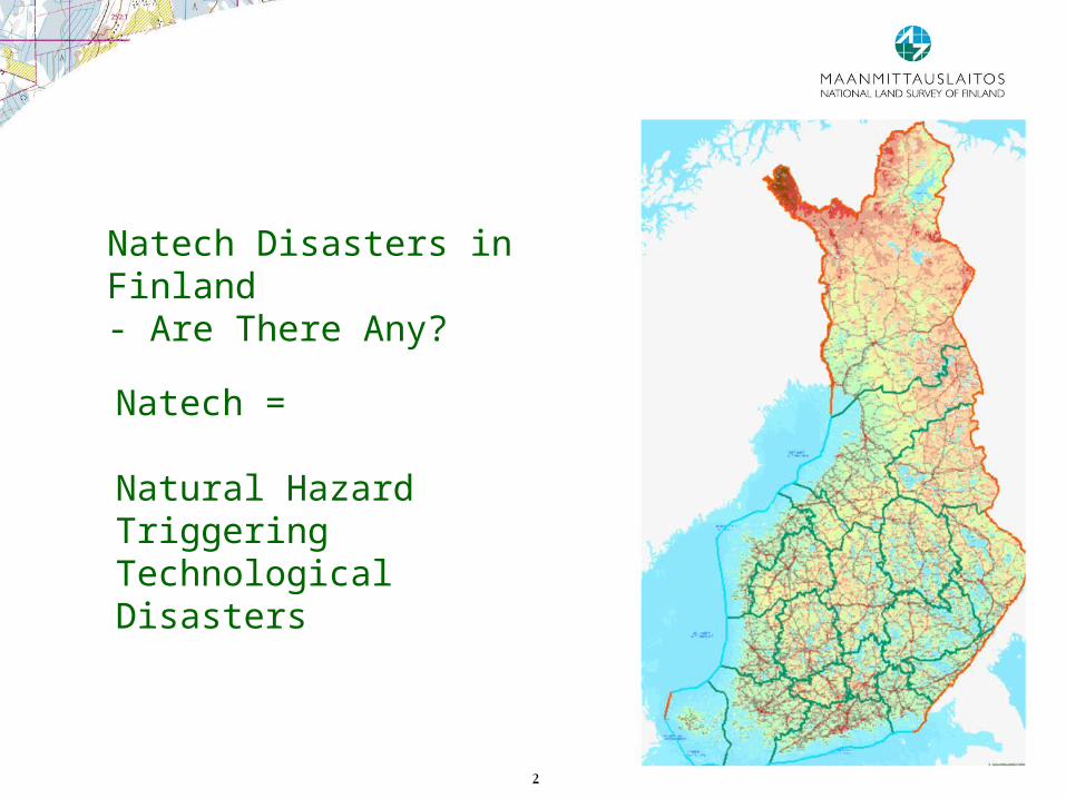
Natech Disasters in Finland- Are There Any?
Natech =
Natural HazardTriggering TechnologicalDisasters

3
Natural disasters in Finland?
No volcanoes No tornados No tsunamis No big avalanches
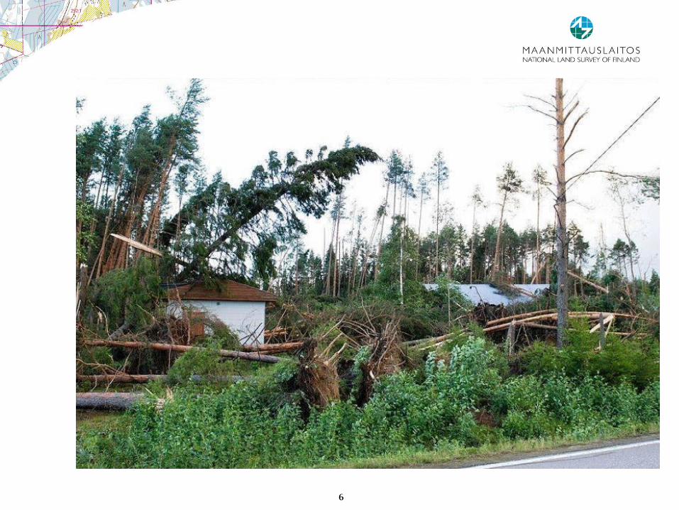
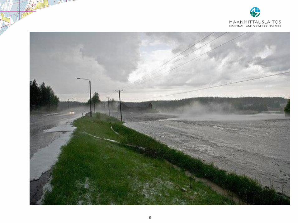
But10 – 15 earthquakes annually, all < 4 richter Strong winds Floods: spring floods annually, big floods seldom Severe winters: cold, ice, snow Forest fires; small
4
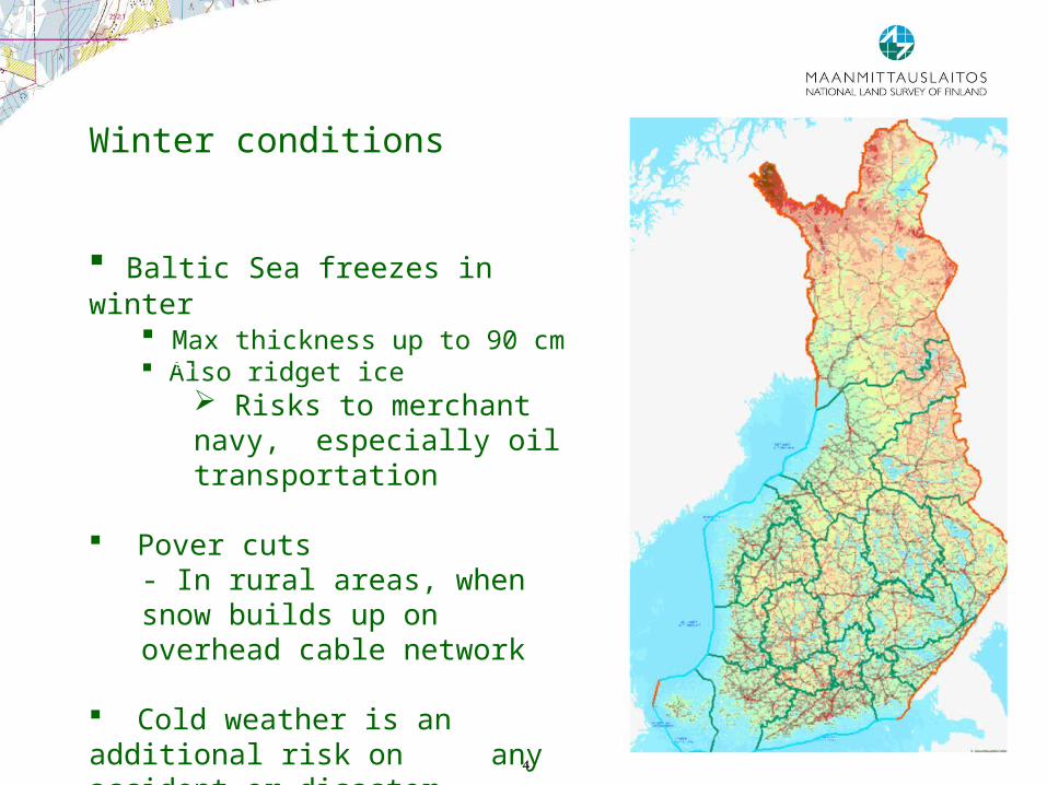
Winter conditions
Baltic Sea freezes in winter Max thickness up to 90 cm Also ridget ice
Risks to merchant navy, especially oil transportation
Pover cuts- In rural areas, when snow builds up on overhead cable network
Cold weather is an additional risk on any accident or disaster
5
6

7
8
9
o Building and land-use standards and legislation• Land use act: when assessing the construction site´s suitability for
building, the risks of flooding, landslides and avalanches must always be considered
• Strength requirements on structures for snow and wind load• Storage of chemicals and oil products• Eurocode pre-standards in national documents: strength
requirements in cases of loads from collisions explosians• International legislation and EU directives• Oil transportation on douple-botton ships• Legal acts against bilge wastewater pumping to sea
o Funding: oil protection fund
o Other arrengements:• Maritime: Gulf of Finland Vessel Traffic Monitoring and Information
System (VTMIS), Automated Identification System (AIS)
Prevention and mitigation strategies
NATIONAL LAND SURVEY – DOWN TO EARTH
10
o Strategy: Natech preparedness is a part of overall preparedness
o Monitoring: Finnish meteorological institute, Environment authorities, forest fires (airplanes, satellites)
o Alerting population• Siren network• National radio and TV broadcasting conpany: override all radio
broadcasts
o Fire and Rescue Services: rescue services preparedness; strategy 2015
o National Preparedness Act: all authorities and enterprises are responsible for preparedness measure in their field
o Oil spills preparedness: vessels, material
Preparedness Strategies
NATIONAL LAND SURVEY – DOWN TO EARTH

11
The main purpose of the Rescue Service Strategy 2015 is to establish a common platform for long term planning and development for the entire rescue services sector
The main priorities are• Accident prevention• Personnel performance• Preparedness for major accidents and emergency condition• Research and development
The implementation programme describes in general terms the main duties of the rescue services and the responsibilities of various actors for these duties
The details of duties are presented in the operational plans of each agency and organisation
Ministry of the Interior has the responsibility for the strategy and its implementation
Rescue Services Strategy 2015
NATIONAL LAND SURVEY – DOWN TO EARTH

12
NLS produces and provides information on and services in real estate, topography and the environment for the needs of citizens, other customers and the society at large.
NLS is responsible for Finland´s cadastral system, land registration and general mapping assignments
NLS also promotes and develops the shared use of geographic information
NLS consists of 12 district offices, six national operational units and the central administration
NLS has staff of 2000, of whom 80% are employed in the District Survey Offices
NLS is a governmental agency subordinate of the Ministry of Agriculture and Forestry
Operations and responsibilities of National Land Survey of Finland (NLS)
NATIONAL LAND SURVEY – DOWN TO EARTH
13
o Cadastre is one of the base registers in our society
o But the cadastral information itself is not enough in disaster management, because we need at the same time
• Topographic information
• Adress information
• Owner information
• Ortophoto information
o When we have a risk for flooding or forest fires or snow / ice problems, we need to know as soon as possible
• Where the risk has realized
• What has happened and what may happen next
• Why something has happened
• When can you get up-to-date information
Cadastral Information in Disaster Management in Finland
NATIONAL LAND SURVEY – DOWN TO EARTH

14
Land Information System links cadastral information and land registration information Where is the cadastral parcel situated and who is its owner? What is the
address of the cadastral parcel and also owners address?
Land Information System and terrain data base are created on the same GIS-platform Topographic information and land information are available at the same
time; information is as up-to-date as possible
Ortophotos can be linked to land information
This information covers the whole territory of Finland and can be reached via NLS´s Mapsite
Authorities also have other possibilities to get this information
Approach in Finland
NATIONAL LAND SURVEY – DOWN TO EARTH

15
The Base Registers
LIS
Natural person idNatural person id
-
Juridical person idReal estete/building/dwelling/place of business id
Position
PopulationRegister
EnterprisesCorporations
DBs containingnatural person data
DBs containingjuridical person data
Geographical DBsCadastre
LandRegister
Buildings&Dwellings
VehicleRegister
Address
Land use rights
&restrictions
Integration register data using IDs and position as links
NATIONAL LAND SURVEY – DOWN TO EARTH

16
Emergency authorities must get all needed information as easy as possible
Information must be up-to-date
If needed it is important to take new ortophotos immediaetly
Cadastral information is crucial data for contacting people and their real property, when disasters occur or may occur
Our experiences
NATIONAL LAND SURVEY – DOWN TO EARTH
17
Thank you for your interest!