> better data, better science, improved decisions < medin marine infrastructure project...
TRANSCRIPT

> BETTER DATA, BETTER SCIENCE, IMPROVED DECISIONS <
MEDIN
MARINE INFRASTRUCTURE PROJECT
Harmonisation, management and maintenance of marine infrastructure reference information
Marisha Rust
Ben Spalding
SeaZone Solutions Ltd

> BETTER DATA, BETTER SCIENCE, IMPROVED DECISIONS <
CONTENTS
• Project overview
Phase 1
Phase 2
Phase 3
• Technical overview and progress
• Timescales for completion of Phase 1
• Next stages – Phases 2 & 3

> BETTER DATA, BETTER SCIENCE, IMPROVED DECISIONS <
OVERVIEW: PHASE 1
• Identify all known sources of marine infrastructure
• Determine the desired common CRS
• Identify inconsistencies in data
• Create infrastructure database and mapping
• Metadata assessment
• Determine rules governing feature deconfliction
• Identify base reference attributes
• Conduct feature deconfliction for pilot site
OUTPUT => Phase 1 report and pilot area sample data
• MEDIN review

> BETTER DATA, BETTER SCIENCE, IMPROVED DECISIONS <
OVERVIEW: PHASE 2
Future expected programme of work:
• New data upload
• Attribute mappings
• Metadata creation
• Deconfliction of data
• Quality check of outputs
• Deliver output database of all feature types
• Phase 2 review of outputs
OUTPUT => One definitive marine infrastructure dataset sourced from multiple suppliers, with best available geometry and attributes

> BETTER DATA, BETTER SCIENCE, IMPROVED DECISIONS <
OVERVIEW: PHASE 3
• Review of project outputs for Phase 2 by nominated MEDIN representatives
• Agree Responsible Authority / Delegated Responsible Authority
• Establish long term data management and maintenance strategy
method and frequency of update
data delivery and formats
ratify various requirements of IPR holders in licensing data
• Develop delivery mechanism of harmonised data to MEDIN and other 3rd party parties
• Publicise!

> BETTER DATA, BETTER SCIENCE, IMPROVED DECISIONS <
PHASE 1 PROGRESS
• Identify and assess all known sources of marine infrastructure
Common Data Access Ltd (UKDEAL) / UKHO / S-57
Pipelines / surface and subsurface infrastructure / wells
Currency / attributes / coverage / scale / geometry / precision
• Dataset IPR assessment
Unknown in some cases
• Determine the output CRS
Geodetic WGS 1984
• Identify inconsistencies in data
Geometry
Attributes

> BETTER DATA, BETTER SCIENCE, IMPROVED DECISIONS <
PHASE 1 PROGRESS cont.• Metadata assessment
Gaps in metadata
Formats
Standards – MEDIN profile
• Create infrastructure database, conceptual mapping, tools
DB table structure (Oracle)
Plug-in tools – upload / dictionary / mapping
Conceptual mapping
• Identify base reference attributes
e.g. Installation => Category of Installation
• Determine rules governing feature deconfliction
Best available geometries
Best available attributesFor each dataset

> BETTER DATA, BETTER SCIENCE, IMPROVED DECISIONS <
PHASE 1 PROGRESS cont.
• Data processing
CRS transformation
Topologise data (links, nodes and seeds)
Add, re-populate and cleanse attributes
Import data to database (Oracle)
• Attribute mappings
Using SeaZone developed tools
Mapping of all features, attributes and attribute values into central data dictionary

> BETTER DATA, BETTER SCIENCE, IMPROVED DECISIONS <
PHASE 1 PROGRESS (pilot site)
• Deconfliction of features – pilot site
Removes all duplicate feature types
SeaZone developed plug-in tools
Topologised data (links, nodes and seeds)
Deconflict Seeds
- Keeps only the best available feature
Merge Seeds
- Merges attributes onto preferred geometry

> BETTER DATA, BETTER SCIENCE, IMPROVED DECISIONS <
Deconfliction of features
(using Deconflict Seeds tool)
BEFORE:Duplicate pipeline features from different sources
Deconflict
AFTER:Single best available geometry for pipeline feature
Land area
Land area

> BETTER DATA, BETTER SCIENCE, IMPROVED DECISIONS <
Deconfliction of features and attribution harmonisation
(using Merge Seeds tool)
BEFORE:Duplicate pipeline features from different sources with varying attributes
Merge
AFTER:Single best available geometry with best available attributes
Feature attribute harmonisation

> BETTER DATA, BETTER SCIENCE, IMPROVED DECISIONS <
PHASE 1:
• Following completion of pilot site deconfliction:
Quality checking of outputs
Geometries
Attributes
Metadata
• Deliver output database of GIS feature types
ESRI v9.1 PGD format
Supporting metadata and statistics
> BETTER DATA, BETTER SCIENCE, IMPROVED DECISIONS <
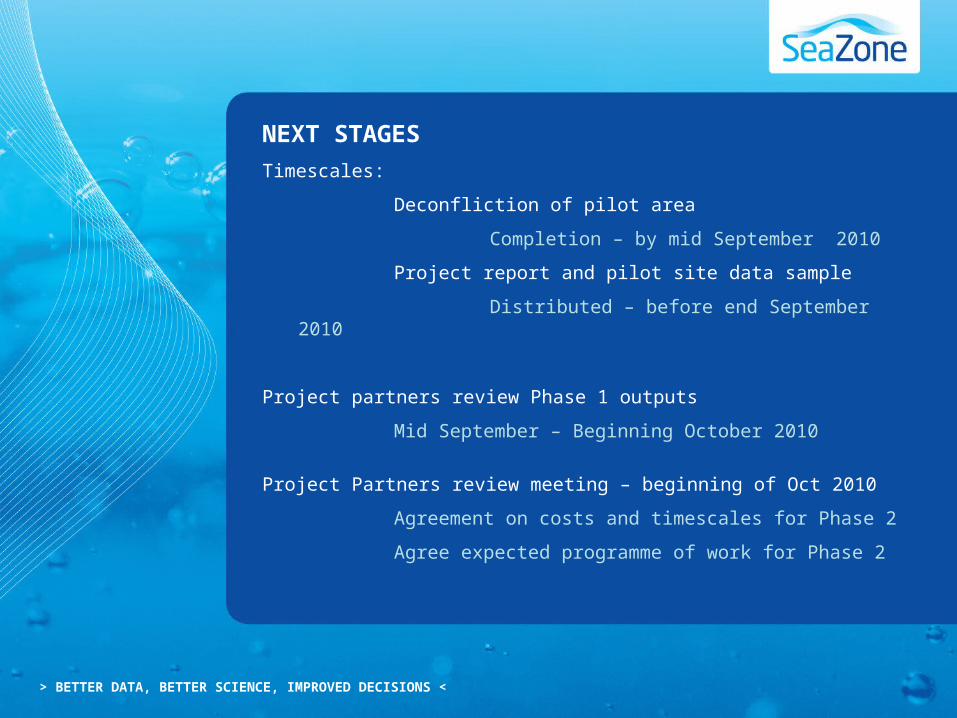
NEXT STAGES
Timescales:
Deconfliction of pilot area
Completion – by mid September 2010
Project report and pilot site data sample
Distributed – before end September 2010
Project partners review Phase 1 outputs
Mid September – Beginning October 2010
Project Partners review meeting – beginning of Oct 2010
Agreement on costs and timescales for Phase 2
Agree expected programme of work for Phase 2

> BETTER DATA, BETTER SCIENCE, IMPROVED DECISIONS <
MEDIN
MARINE INFRASTRUCTURE PROJECT
Harmonisation, management and maintenance of Marine Infrastructure data
Further information: