walkability and urban form " using gis to measure walkability of neighbourhoods" urisa...
TRANSCRIPT
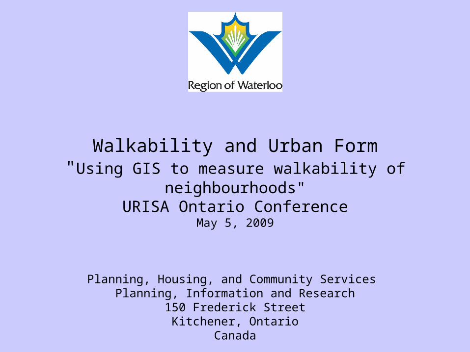
Walkability and Urban Form"Using GIS to measure walkability of neighbourhoods"
URISA Ontario ConferenceMay 5, 2009
Planning, Housing, and Community Services Planning, Information and Research
150 Frederick StreetKitchener, Ontario
Canada


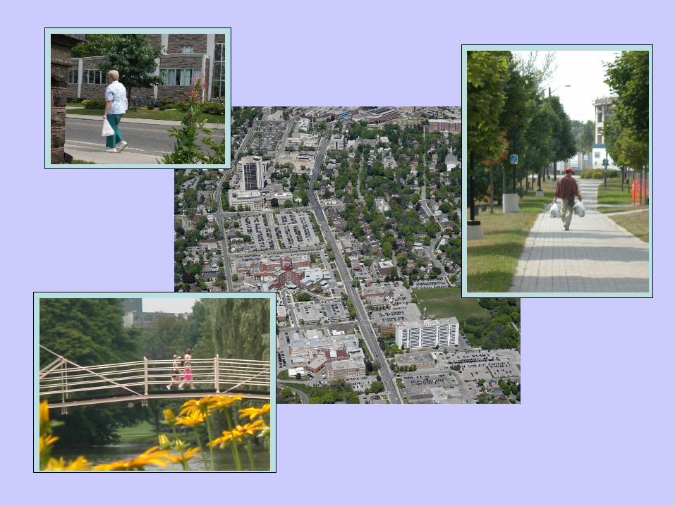
Neighborhood Environment in Waterloo Region , Physical Activity Transportation & Health
(NEWPATH)
Proposal Funded by the Heart and Stroke Foundation of Canada & Canadian Institutes of Health Research
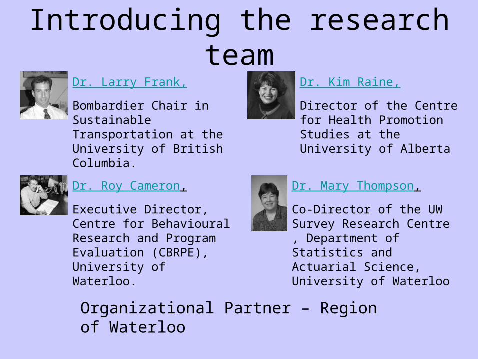
Introducing the research teamDr. Larry Frank,
Bombardier Chair in Sustainable Transportation at the University of British Columbia.
Dr. Kim Raine,
Director of the Centre for Health Promotion Studies at the University of Alberta
Dr. Roy Cameron,
Executive Director, Centre for Behavioural Research and Program Evaluation (CBRPE), University of Waterloo.
Dr. Mary Thompson,
Co-Director of the UW Survey Research Centre , Department of Statistics and Actuarial Science, University of Waterloo
Organizational Partner – Region of Waterloo
Region of Waterloo Partners
• This project is an interdepartmental project in partnership between: Public Health Department and Planning, Housing and Community Services Department
• Staff from the cities of Waterloo, Cambridge & Kitchener are being consulted in the development of this project and utilization of project outputs
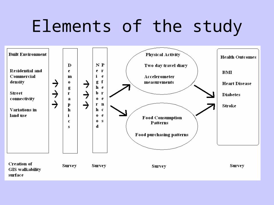
Elements of the study
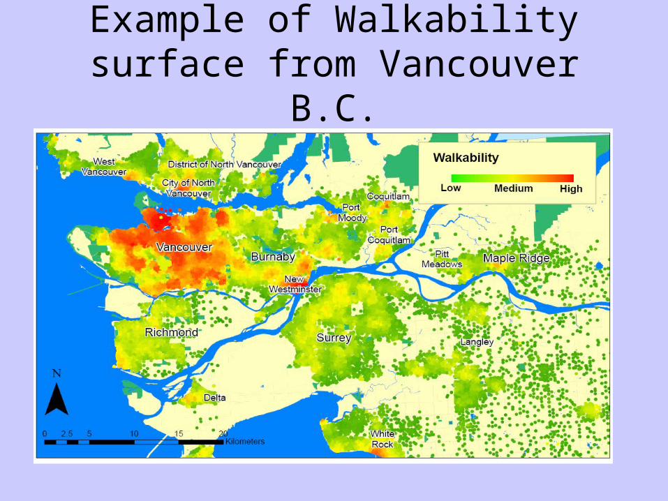
Example of Walkability surface from Vancouver B.C.
Walkability Surface
• Using objective land use data, we will create an inventory of land use variables that have been proven to be related to walkability. These include:
• Commercial Density• Residential Density• Connectivity of the Street Network and • Variations in the land use mix
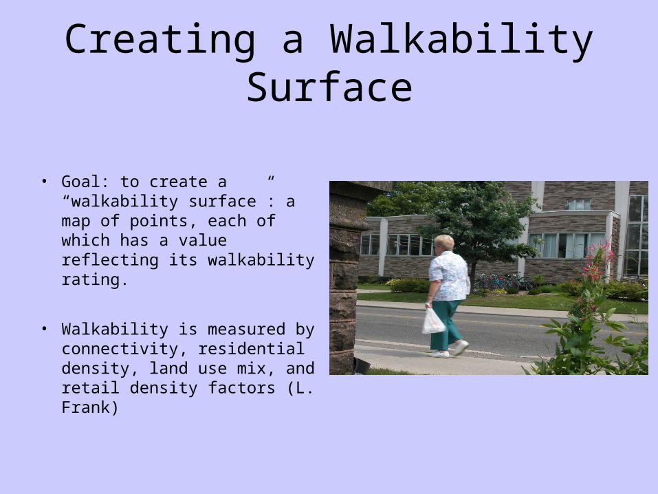
Creating a Walkability Surface
• Goal: to create a “walkability surface”: a map of points, each of which has a value reflecting its walkability rating.
• Walkability is measured by connectivity, residential density, land use mix, and retail density factors (L. Frank)

Creating Pedestrian Network
• Goal: to create a model of the how pedestrians can move through the urban environment
• To be used to emulate how a typical pedestrian can travel from an origin through the urban environment within a 1km walking distance.
• Use GIS software and data to create the model
Creating Pedestrian Network
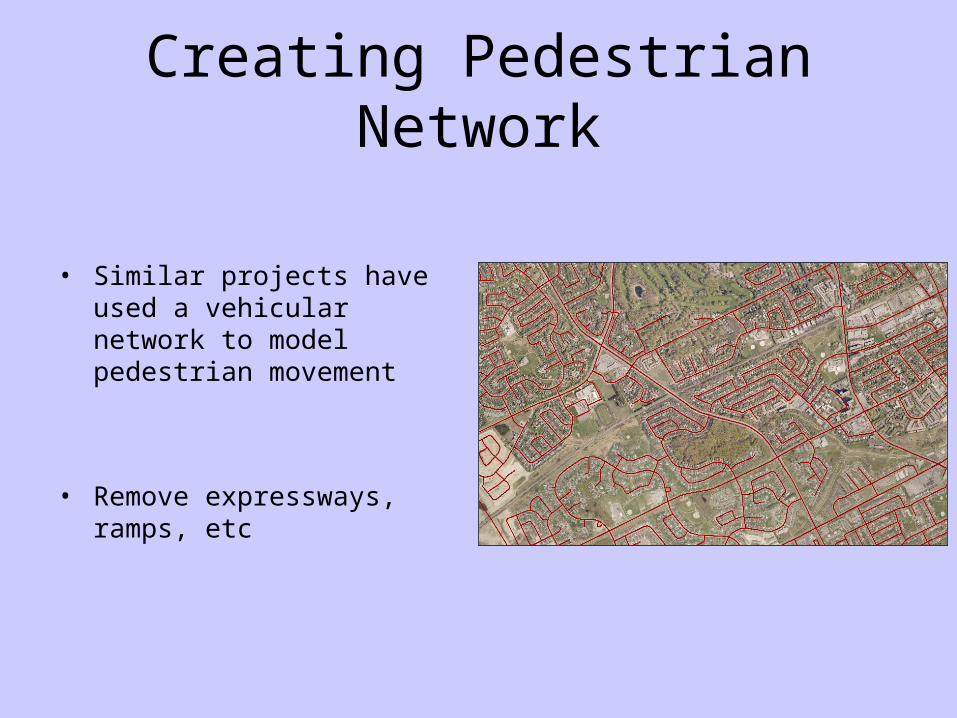
• Similar projects have used a vehicular network to model pedestrian movement
• Remove expressways, ramps, etc
Creating Pedestrian Network
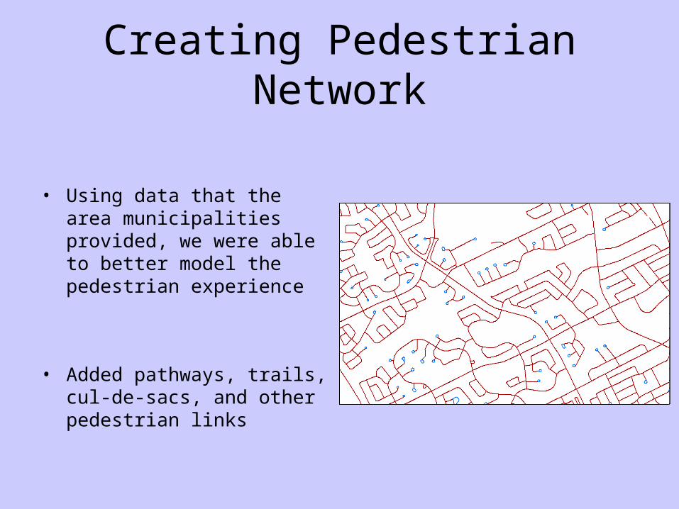
• Using data that the area municipalities provided, we were able to better model the pedestrian experience
• Added pathways, trails, cul-de-sacs, and other pedestrian links
Creating Pedestrian Network
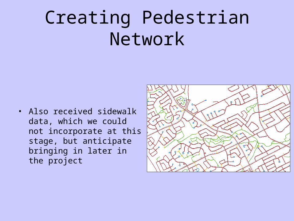
• Also received sidewalk data, which we could not incorporate at this stage, but anticipate bringing in later in the project

Creating Pedestrian Network
• Has resulted in the creation of a pedestrian network
• Aware that may need further review but feel is better than the vehicular version
• Need to consider maintenance

Calculating Walkable Areas
• Involves creating zones that represent the area that is accessible within 1 km walk distance from a pedestrian's point of origin
• Using the 6-digit postal codes to represent each pedestrian's origin
Calculating Walkable Zones
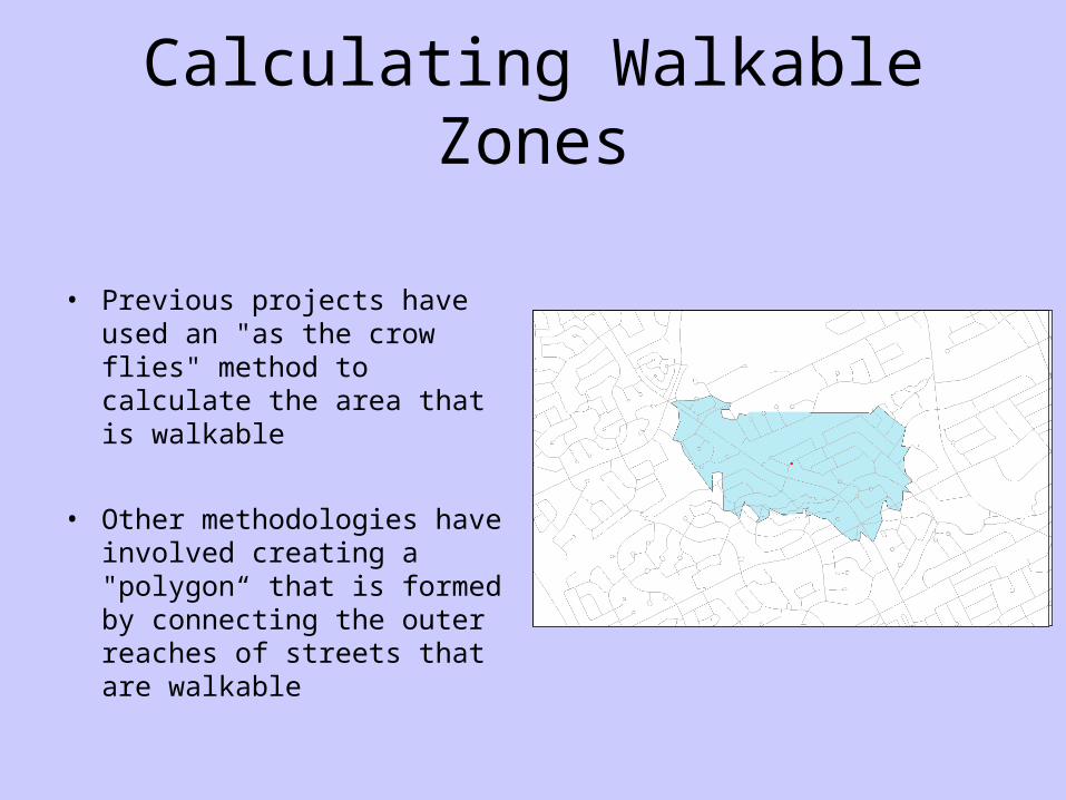
• Previous projects have used an "as the crow flies" method to calculate the area that is walkable
• Other methodologies have involved creating a "polygon“ that is formed by connecting the outer reaches of streets that are walkable

Calculating Walkable Areas
• We have chosen to use a 2-step process to utilize the linear distance along the pedestrian network instead
• This involves “buffering” the streets that can be walked by 25 metres

Calculating Walkable Areas
• Results in a more complex geometric representation of the walkable area for each point of origin
• Believe this provides a more accurate representation of the properties to which a pedestrian can gain access by walking
Calculating Walkable Areas
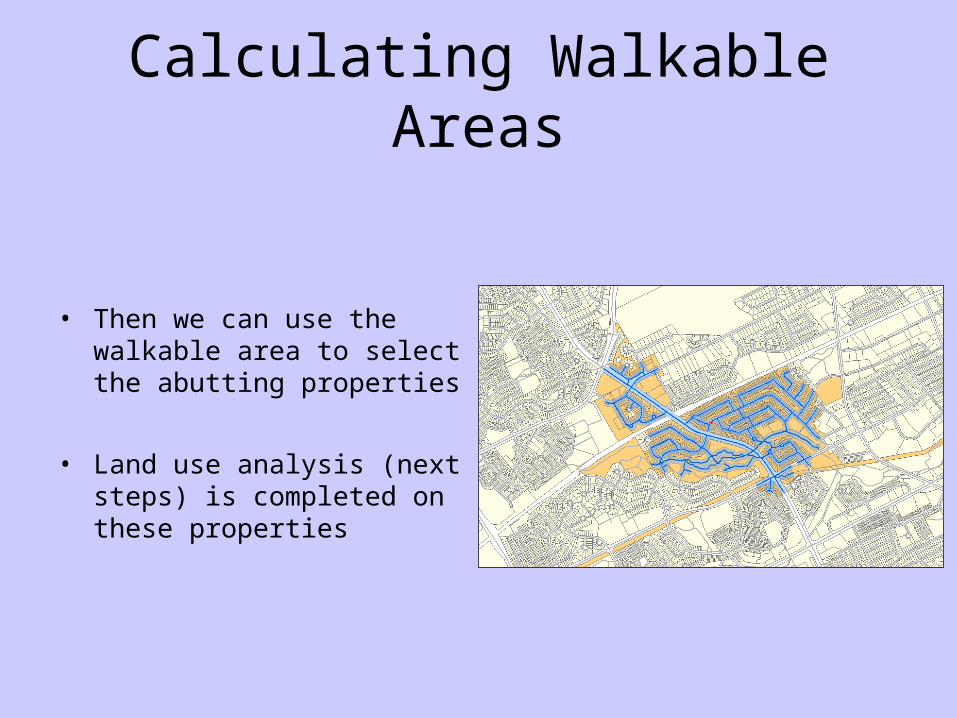
• Then we can use the walkable area to select the abutting properties
• Land use analysis (next steps) is completed on these properties
Measuring Connectivity
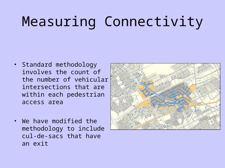
• Standard methodology involves the count of the number of vehicular intersections that are within each pedestrian access area
• We have modified the methodology to include cul-de-sacs that have an exit

Measuring Connectivity
• Other connectivity measures that we are proto-typing are – Length of streets
accessible in 1 km distance– Area of zone accessible– Length of sidewalks in
each zone
Measuring Connectivity
• Other connectivity measures that could be considered are: – Number of bus stops– Number of pedestrian
crosswalks– Number of signalized
intersections (per length of arterial?)
Measuring Residential Density
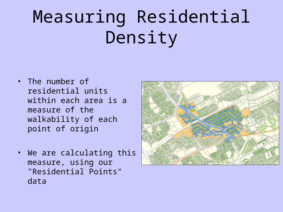
• The number of residential units within each area is a measure of the walkability of each point of origin
• We are calculating this measure, using our "Residential Points" data
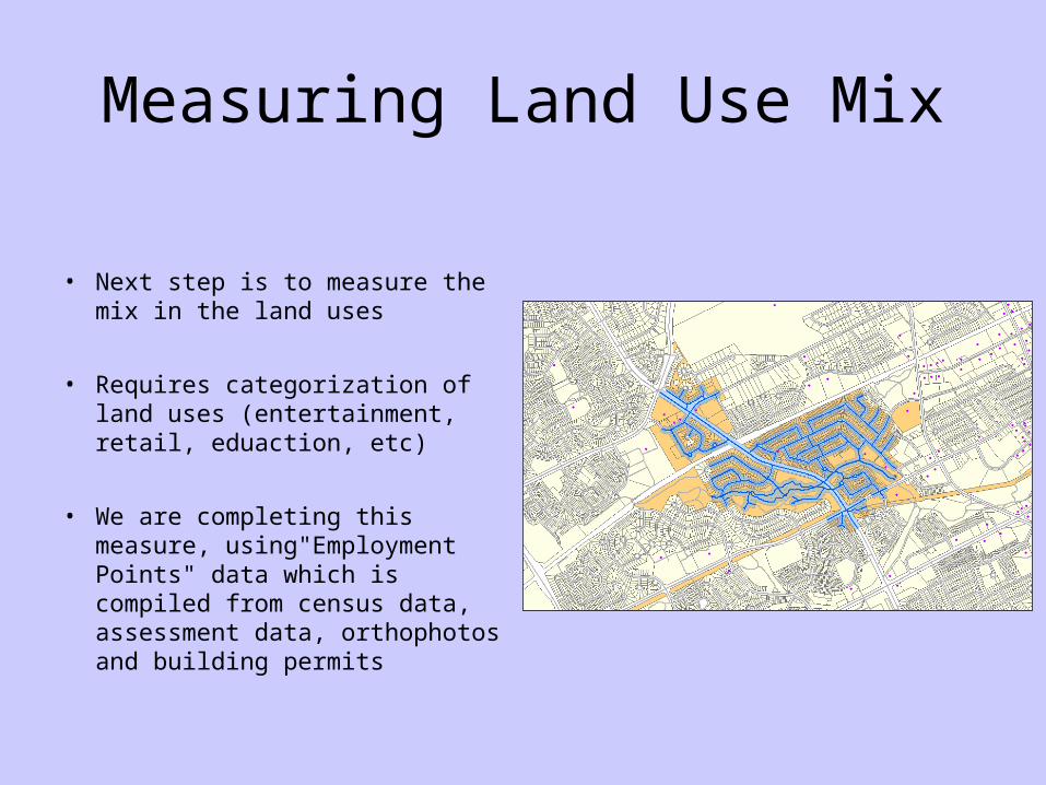
Measuring Land Use Mix
• Next step is to measure the mix in the land uses
• Requires categorization of land uses (entertainment, retail, eduaction, etc)
• We are completing this measure, using"Employment Points" data which is compiled from census data, assessment data, orthophotos and building permits
Measuring Retail Floor Area
• Last step is to measure the proportion of retail floor space to total
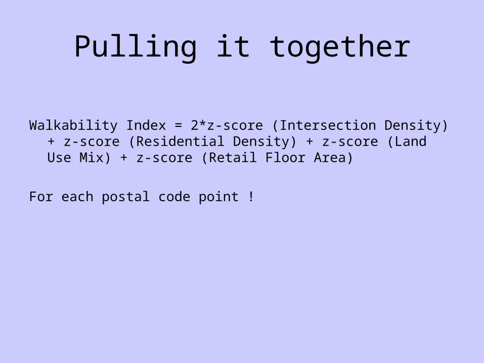
Pulling it together
Walkability Index = 2*z-score (Intersection Density) + z-score (Residential Density) + z-score (Land Use Mix) + z-score (Retail Floor Area)
For each postal code point !

Preliminary Results