using geographic information systems to create meaningful institutional data and analysis
Post on 20-Dec-2015
216 views
TRANSCRIPT
Using Geographic Information Systems to Create Meaningful Institutional Data and Analysis

Authors
• Tara R. Warne, Associate Research Analyst Institutional Research & Planning
• Chris Barnett, Co-Director Center for Agricultural, Resource and Environmental Systems
• Mardy Eimers, Director Institutional Research & Planning
University of Missouri
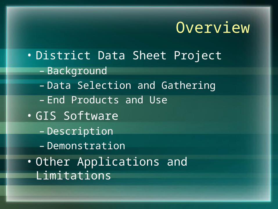
Overview
• District Data Sheet Project– Background– Data Selection and Gathering– End Products and Use
• GIS Software– Description– Demonstration
• Other Applications and Limitations
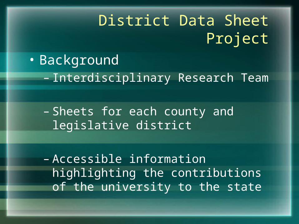
District Data Sheet Project
• Background– Interdisciplinary Research Team
– Sheets for each county and legislative district
– Accessible information highlighting the contributions of the university to the state
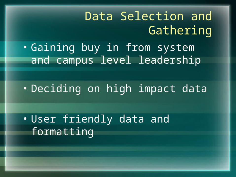
Data Selection and Gathering
• Gaining buy in from system and campus level leadership
• Deciding on high impact data
• User friendly data and formatting
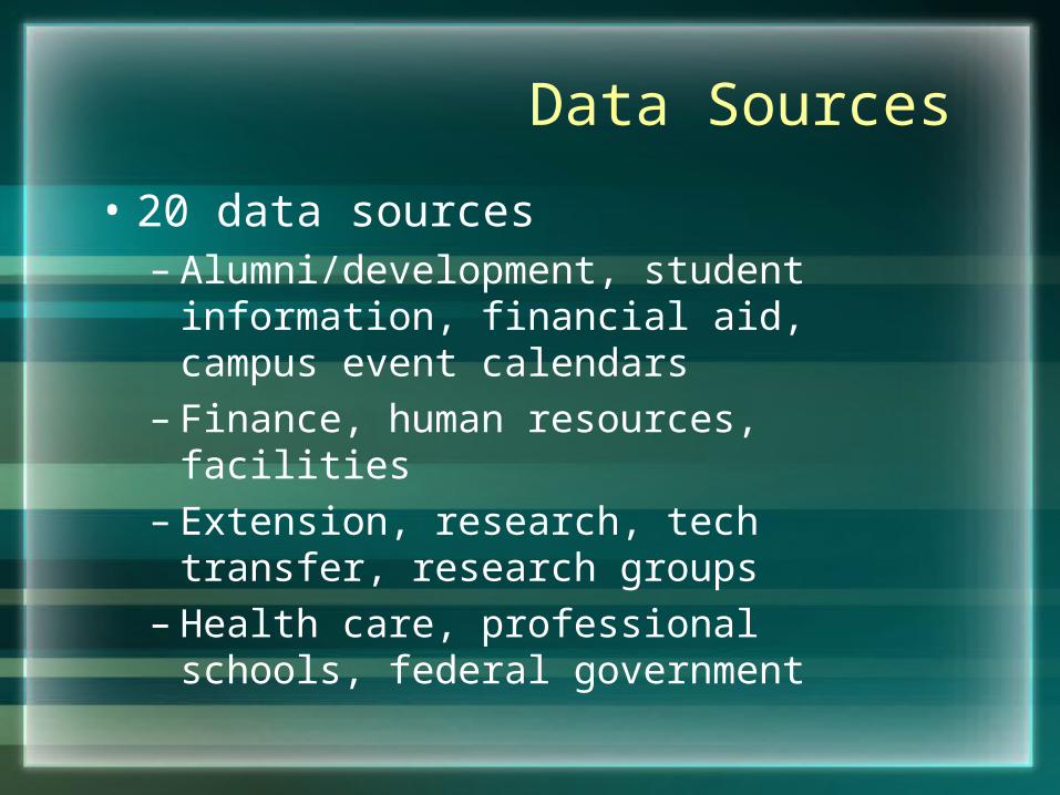
Data Sources
• 20 data sources– Alumni/development, student information,
financial aid, campus event calendars– Finance, human resources, facilities– Extension, research, tech transfer,
research groups– Health care, professional schools, federal
government
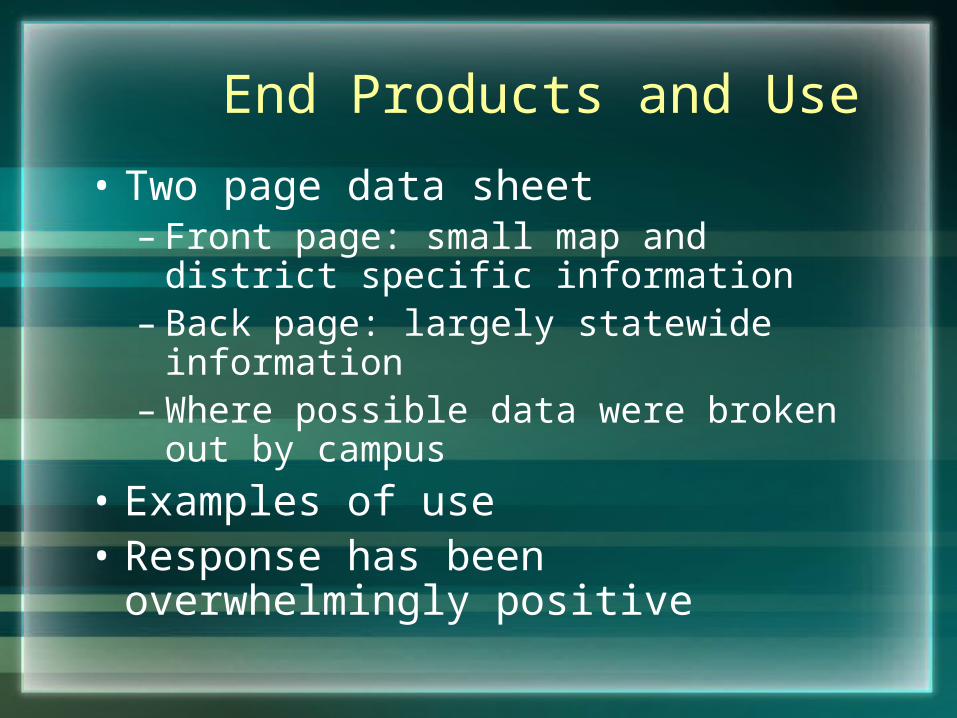
End Products and Use
• Two page data sheet– Front page: small map and district
specific information– Back page: largely statewide information– Where possible data were broken out by
campus
• Examples of use• Response has been overwhelmingly
positive
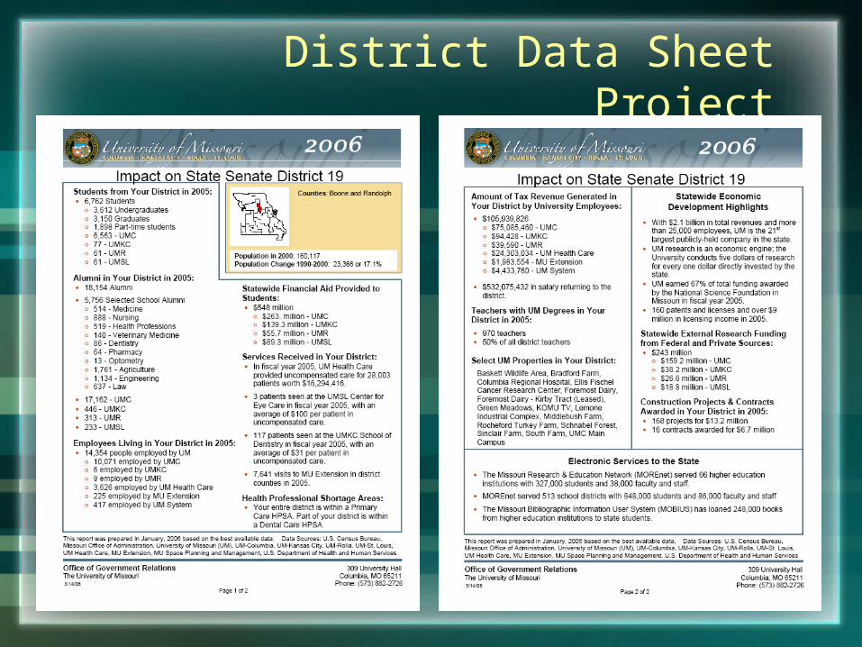
District Data Sheet Project
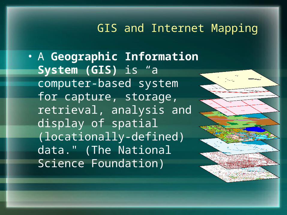
GIS and Internet Mapping
• A Geographic Information System (GIS) is “a computer-based system for capture, storage, retrieval, analysis and display of spatial (locationally-defined) data." (The National Science Foundation)
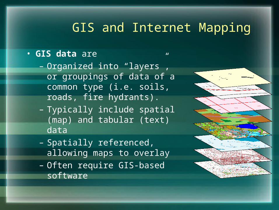
GIS and Internet Mapping
• GIS data are – Organized into “layers”, or
groupings of data of a common type (i.e. soils, roads, fire hydrants).
– Typically include spatial (map) and tabular (text) data
– Spatially referenced, allowing maps to overlay
– Often require GIS-based software
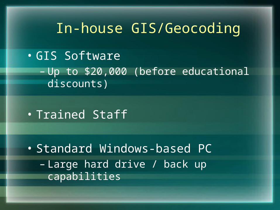
In-house GIS/Geocoding
• GIS Software– Up to $20,000 (before educational
discounts)
• Trained Staff
• Standard Windows-based PC– Large hard drive / back up capabilities
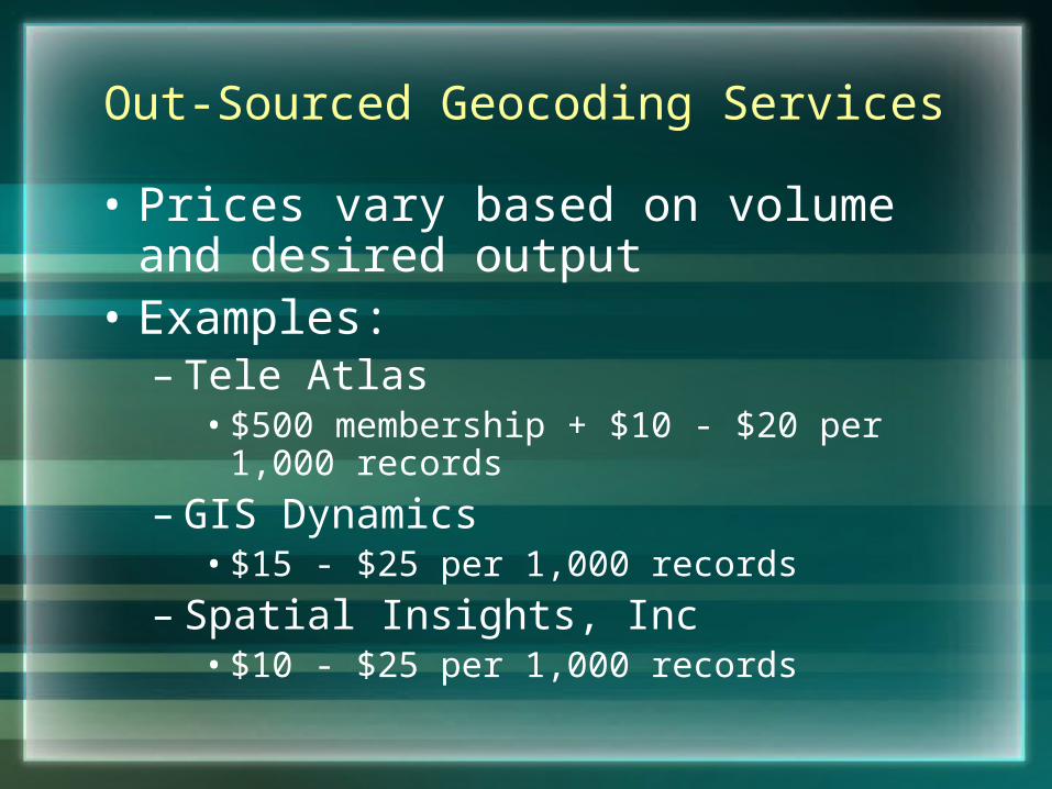
Out-Sourced Geocoding Services
• Prices vary based on volume and desired output
• Examples:– Tele Atlas
• $500 membership + $10 - $20 per 1,000 records
– GIS Dynamics• $15 - $25 per 1,000 records
– Spatial Insights, Inc• $10 - $25 per 1,000 records
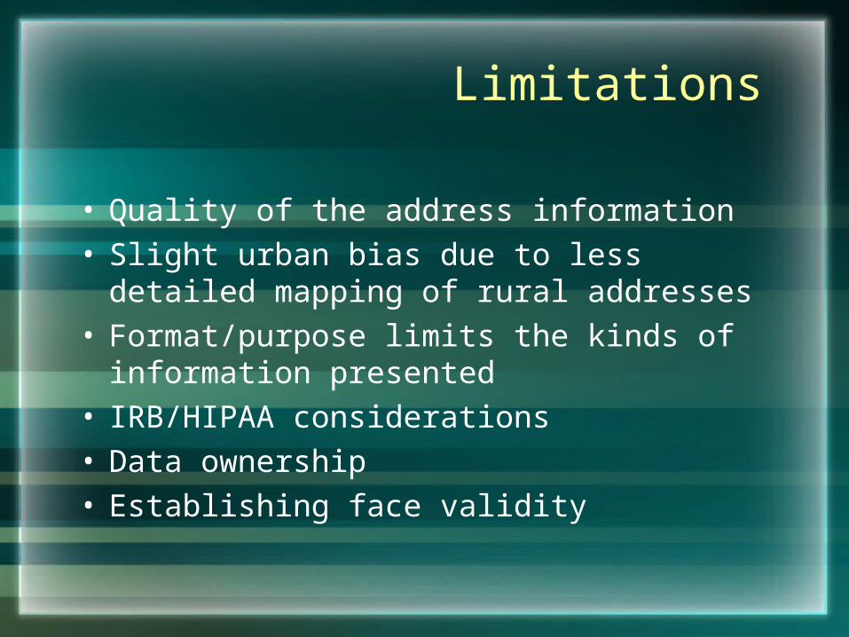
Limitations
• Quality of the address information• Slight urban bias due to less detailed
mapping of rural addresses• Format/purpose limits the kinds of
information presented• IRB/HIPAA considerations• Data ownership• Establishing face validity
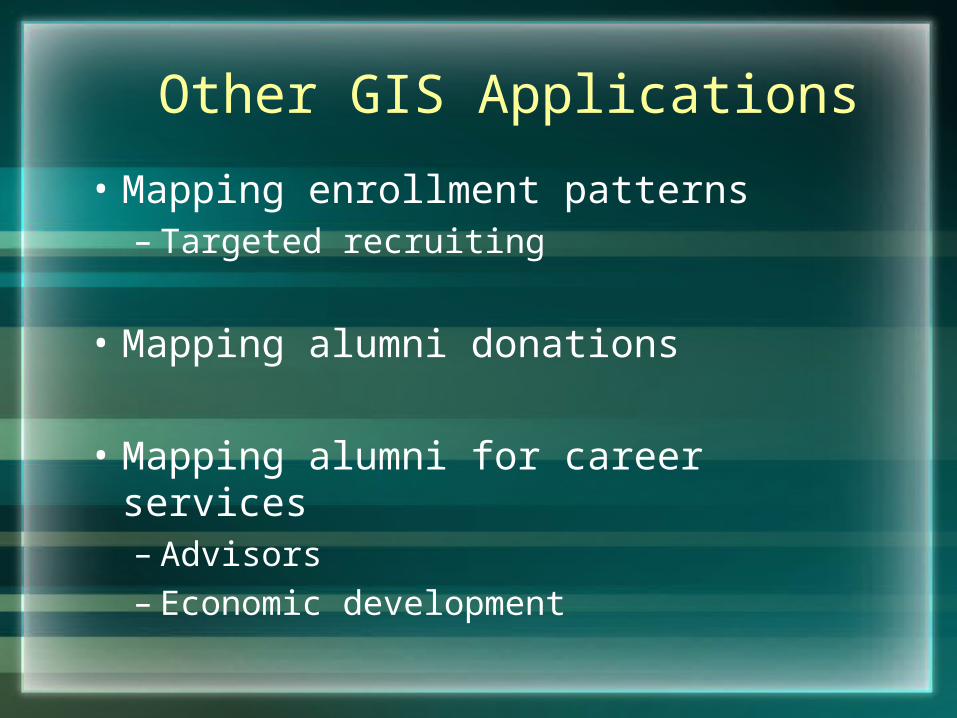
Other GIS Applications
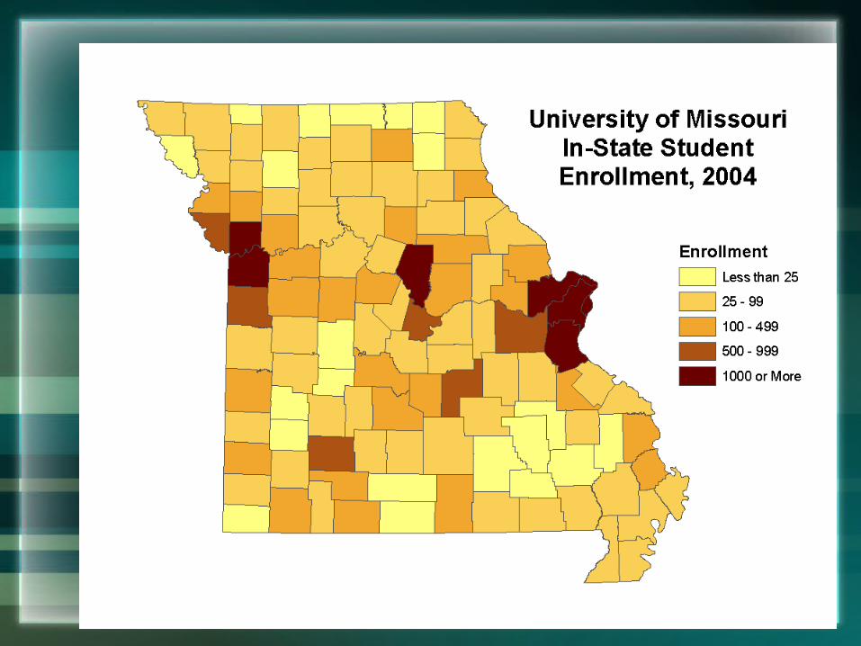
• Mapping enrollment patterns– Targeted recruiting
• Mapping alumni donations
• Mapping alumni for career services– Advisors– Economic development
Questions
• Questions and Comments?
• Thoughts on other applications?

Contact
• Tara Warne (573) [email protected]
• Chris Barnett (573) [email protected]
• Mardy Eimers (573) [email protected]
http://www.umsystem.edu/planning