usace navigation business line -...
TRANSCRIPT

USACE Navigation Business Line
Julie Dean Rosati
for Jeff Lillycrop Navigation Technical Director
U.S. Army Corps of EngineersEngineering Research and g gDevelopment CenterCoastal & Hydraulics Laboratory
US Army Corps of EngineersBUILDING STRONG®
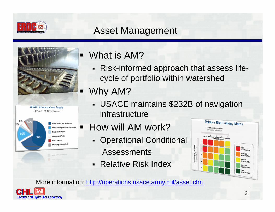
Asset Management
What is AM? Ri k i f d h th t lif Risk-informed approach that assess life-cycle of portfolio within watershed
Why AM?Why AM? USACE maintains $232B of navigation
infrastructure How will AM work?
Operational Conditional Assessments
Relative Risk Index
Coastal and Hydraulics LaboratoryCoastal and Hydraulics LaboratoryCoastal and Hydraulics Laboratory2
More information: http://operations.usace.army.mil/asset.cfm
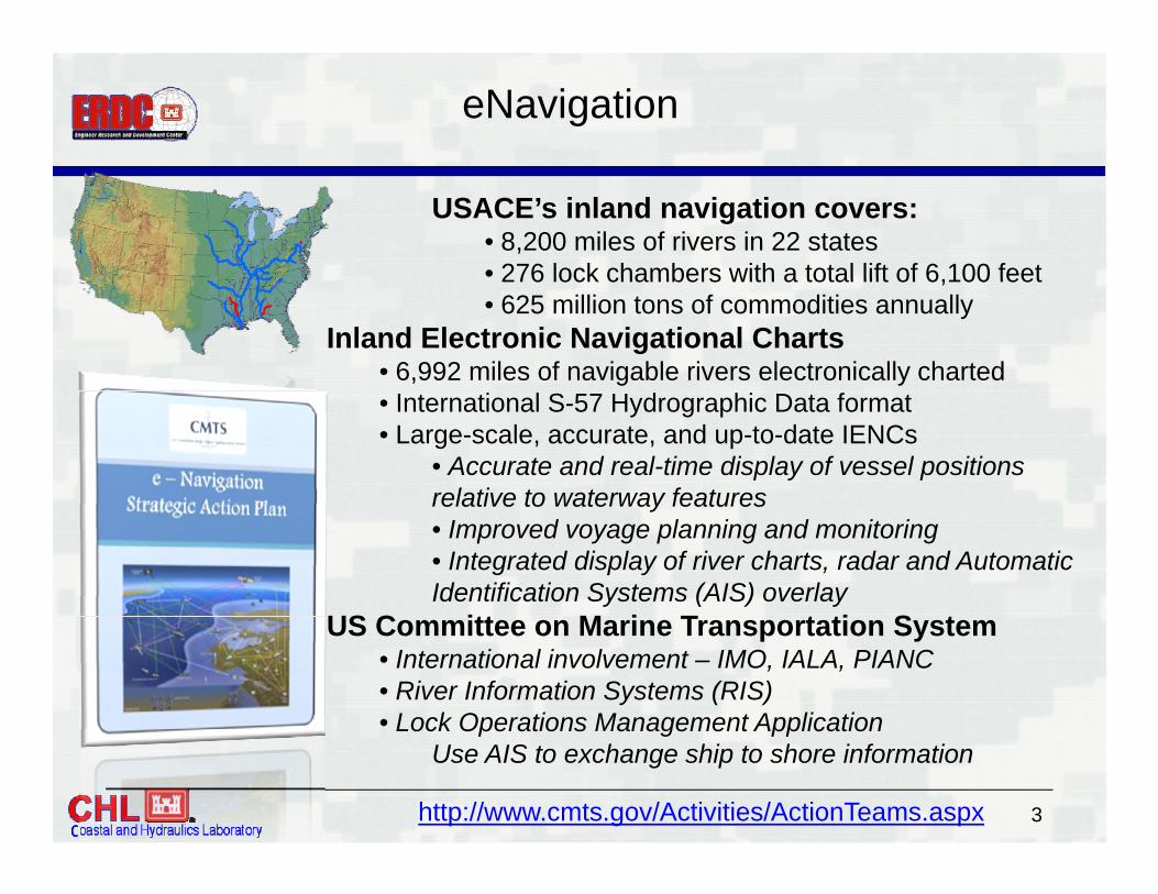
eNavigation
USACE’s inland navigation covers:• 8,200 miles of rivers in 22 states• 276 lock chambers with a total lift of 6 100 feet276 lock chambers with a total lift of 6,100 feet • 625 million tons of commodities annually
Inland Electronic Navigational Charts• 6,992 miles of navigable rivers electronically charted• International S-57 Hydrographic Data format• Large-scale, accurate, and up-to-date IENCs
• Accurate and real-time display of vessel positions relative to waterway featuresrelative to waterway features• Improved voyage planning and monitoring• Integrated display of river charts, radar and Automatic Identification Systems (AIS) overlay
US C itt M i T t ti S tUS Committee on Marine Transportation System • International involvement – IMO, IALA, PIANC• River Information Systems (RIS)• Lock Operations Management Application
Coastal and Hydraulics LaboratoryCoastal and Hydraulics LaboratoryCoastal and Hydraulics Laboratory3
Lock Operations Management Application Use AIS to exchange ship to shore information
http://www.cmts.gov/Activities/ActionTeams.aspx

Performance Indicators
GOAL: To create indicators to measure the performance and delivery of services that the Army Corps provides to the Marine Transportation System in the following areas:
• Economic Benefits to the Nation • Capacity
S f & S
• Environmental Stewardship • Resilience & Reliability
PREDICTED OUTCOME:The use of MTS performance indicators in USACE Navigation
• Safety & Security
will lead to more informed and better infrastructure investment decisions.
STATUSSTATUS:• Leading and participating in inter-agency teams at the US DOT including aligning our work with MAP-21 efforts to develop network wide performance metrics.• Lending expertise to TRB efforts to develop enhanced freight performance
Coastal and Hydraulics LaboratoryCoastal and Hydraulics LaboratoryCoastal and Hydraulics Laboratory4
• Lending expertise to TRB efforts to develop enhanced freight performance networks and analytic capacity.

CPT and CSMART
Channel Portfolio Tool (CPT):Web-based application that relates navigable depths to cargo most vulnerable to shoaling. Allows for detailed, reach-level analysis as well as regional and national summaries of the waterborne transportation systems
CPT-lite
the waterborne transportation systems supported by Corps navigation projects. https://cpt.usace.army.mil
Coastal Structures Management, Analysis, and Ranking Tool (CSMART): Web based application that prioritizes coastal structures according to user specifiedWeb-based application that prioritizes coastal structures according to user-specified criteria and weightings on metrics such as condition rating, commercial tonnage, fish landings, and cruise and ferry passengers. Allows local, regional, and national queries and comparisons. https://itlgis01.usace.army.mil/CPT/Silverlight/CSMART
Coastal and Hydraulics LaboratoryCoastal and Hydraulics LaboratoryCoastal and Hydraulics Laboratory5
p p g y g

Hurricane Sandy Support
Disaster Relief Appropriations Act signed 1/29/2013signed 1/29/2013
Supplemental appropriations: Address damages from Sandy Reduce future flood risk Support long-term sustainability of
coastal ecosystem & communities
80% of fundscoastal ecosystem & communities
Key concepts: Design for
Plan
Resiliency Engineering,
Environment,
PrepareAdapt
Coastal and Hydraulics LaboratoryCoastal and Hydraulics LaboratoryCoastal and Hydraulics Laboratory
Community
6
AbsorbRecover

New Infrastructure R&D ProgramNew!
New R&D Program focused on inland navigationon inland navigation infrastructure
Will begin in FY14 with 6 Will begin in FY14 with 6 R&D Work Areas
Coastal and Hydraulics LaboratoryCoastal and Hydraulics LaboratoryCoastal and Hydraulics Laboratory7