u.s. department of the interior u.s. geological survey usgs gis 2006 workshop denver, colorado...
TRANSCRIPT

U.S. Department of the InteriorU.S. Geological Survey
USGS GIS 2006 Workshop
Denver, Colorado
Overview of the USGS Plan for Quality Assurance of Digital Aerial Imagery

2
OutlineOutline
Introduction Background USGS Plan for Quality Assurance of Digital Aerial
Imagery Why is this important to you? Do’s and don’ts

3
The major players:
Manufacturers
Data Providers
Procurement officials
End-users
IntroductionIntroduction

4
Why calibration at USGS?
Photogrammetric methods for map generation Map production primarily done in-house Quality assurance measure for aerial photography
from aerial contractors
Leadership role in standards development Unbiased, independent agency with technical
expertise Quality assurance for The National Map
BackgroundBackground

5
USGS Camera Calibration HistoryUSGS Camera Calibration History
USGS responsible for calibration services for film camera in United States since 1973
USGS operates Optical Sciences Lab (OSL) in Reston, VA with a custom-built calibration instrument
Current policy requires current (within 3 years) camera calibration report on file before award of contract
The “Catch-22” problem for digital sensors

6
The major players:
Manufacturers
Data Providers
Procurement officials
End-users
Who are you?Who are you?
7
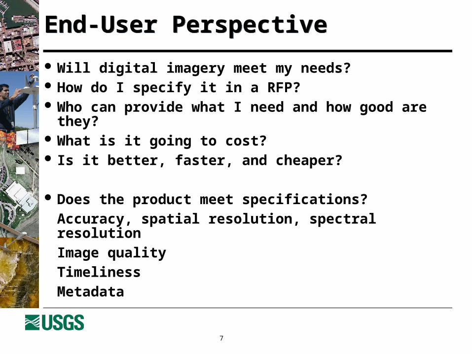
Will digital imagery meet my needs? How do I specify it in a RFP? Who can provide what I need and how good are they? What is it going to cost? Is it better, faster, and cheaper?
Does the product meet specifications?Accuracy, spatial resolution, spectral resolutionImage qualityTimelinessMetadata
End-User PerspectiveEnd-User Perspective

8
End-User from a USGS PerspectiveEnd-User from a USGS Perspective
Image products and services for customers Contracts with Data Providers Occasional procurement of sensor systems Specialized geospatial data for research projects End products for The National Map
Virtually no need for products for in-house production

9
USGS Plan for Quality AssuranceUSGS Plan for Quality Assurance
Four major parts covering two major processes:
Data Production: Manufacturers Certification Data Providers (flyers) Certification
Data Purchasing & Acceptance Contracting Guidelines Data Acceptance Standards
Education and training also a major component

10
The USGS PlanThe USGS Plan
Data Procurement:
Contracting Guidelines & Boilerplate Tool
Data Users and Inspectors:
Acceptance Standards
Sensor Manufacturers:
Manufacturers Certification
Data Providers:
Data Providers Certification
User Needs
Data Procurement Domain
Data Generation Domain
Final Product

11
Manufacturers CertificationManufacturers Certification Aerial Digital Imaging is in its “Wild West” phase
Anything & everything being tried Some metric-quality systems Many “other” systems
How does the customer know which can produce mapping-quality data?
USGS to offer “type certification” of mapping-quality digital aerial sensors
Must be stable, well-quantified, repeatable Able to routinely generate mapping-quality data
When operated properly!
12
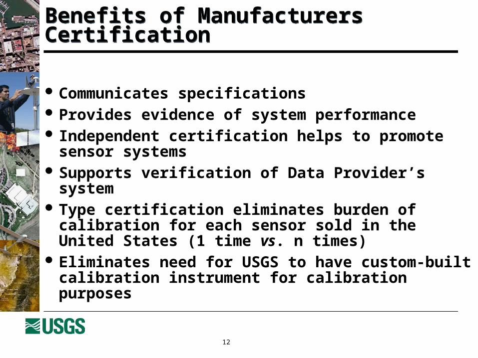
Communicates specifications Provides evidence of system performance Independent certification helps to promote sensor
systems Supports verification of Data Provider’s system Type certification eliminates burden of calibration for
each sensor sold in the United States (1 time vs. n times)
Eliminates need for USGS to have custom-built calibration instrument for calibration purposes
Benefits of Manufacturers CertificationBenefits of Manufacturers Certification

13
Data Providers CertificationData Providers Certification
Second half of data generation is the flyers/Data Providers’ data processing
USGS to provide Data Providers Certification
Focused on processes and process control Ensures that Data Providers are operating sensors in
accordance with manufacturer’s instructions and limitations Ensures that Data Providers follow quality procedures
Desire to ensure reliability, repeatability, and trust

14
Provides evidence of performance of products Independent certification helps to promote product
specifications and Data Provider’s capabilities Documents Data Provider’s quality assurance plan
and “best practices” One certification for Data Provider and not for each
camera Data Providers no longer have to send cameras to
OSL for calibration, reducing down-time and shipping expenses
Benefits of Data Providers CertificationBenefits of Data Providers Certification

15
Contracting GuidelinesContracting Guidelines
User community is not sure how to contract for digital imagery
New terms, capabilities, standards, lexicon Inhibits digital contracting Addresses boilerplate requiring “USGS Certificate” Goal is to remove barriers to digital aerial contracts Encourage digital imaging
Created Federal Digital Imagery General Contract Guideline

16
Standardized terms and descriptions make the contracting process easier and more uniform among agencies
Guidelines help acceptance of digital sensors and educate end-users on benefits of digital technology
Standardized terms and guidelines help contracting officers describe their users needs
Standardized performance measures USGS certifications provide a priori acceptance of
systems and Data Provider’s “best practices” Manufacturer and Data Providers Certification reduces
necessary documentation in the RFP process
Benefits of Contracting GuidelinesBenefits of Contracting Guidelines

17
Digital Data Acceptance StandardsDigital Data Acceptance Standards
End-users unsure of how to judge digital aerial data quality
New terms & capabilities (resolution, spectral, etc.) Each customer understands things differently
There is a need for common, uniform definitions and methods for evaluating quality of image data
USGS to work with Inter-Agency Digital Image Working Group to develop these standards
Goal is a Web-based tool illustrating quality problems, measurement techniques, and standards
18
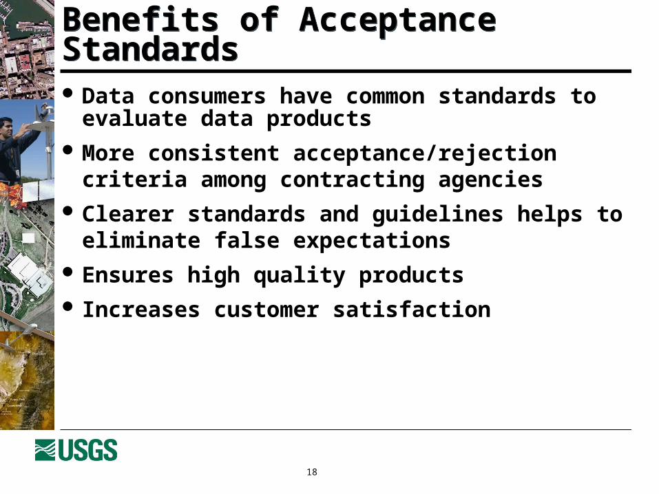
Data consumers have common standards to evaluate data products
More consistent acceptance/rejection criteria among contracting agencies
Clearer standards and guidelines helps to eliminate false expectations
Ensures high quality products Increases customer satisfaction
Benefits of Acceptance StandardsBenefits of Acceptance Standards

19
Manufacturers Certification Guidelines in work now Up to 4 manufacturers to be certified this fiscal year Two factory visits completed; reports pending Four Data Providers have expressed interest working
on the initial round of Data Providers Certification First draft of Federal Digital Imagery General Contract
Guidelines completed and reviewed by limited group A Web-based tool to help generate contracting language is
being developed
StatusStatus

20
USGS Plan for Quality Assurance of Digital Aerial Imagery briefed during ASPRS panel session
Overall USGS plan – Finalize and obtain ASPRS approval of the plan - June 06
ScheduleSchedule

21
Know your requirements and be honest with yourself Leverage resources and requirements with others Understand what advantages the technology offers Use contracting guideline Ask for sample products early in the project Review deliverables Insist on metadata
Don’t ask for camera calibration report for digital sensors
Do’s and Don’tsDo’s and Don’ts
22
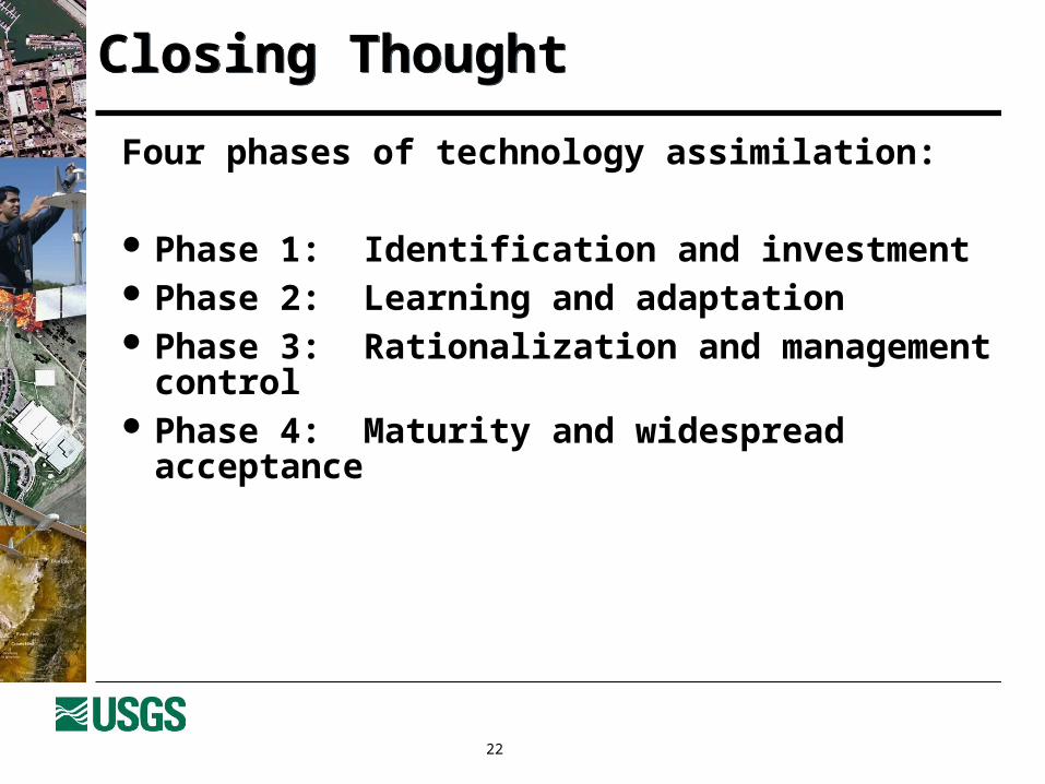
Four phases of technology assimilation:
Phase 1: Identification and investment Phase 2: Learning and adaptation Phase 3: Rationalization and management control Phase 4: Maturity and widespread acceptance
Closing ThoughtClosing Thought

23
To implement a comprehensive, meaningful process that ensures the quality of data products and services
To cooperatively develop the plan with all elements of the geospatial community
Good for one is good for all
To establish a model to support new technologies
SummarySummary
24
IADIWG Web site at: http://calval.cr.usgs.gov/
For more informationFor more information
25
Contact:
Gregory L. StensaasRemote Sensing Systems Characterization ManagerUSGS EROS Data Center47914 252nd StreetSioux Falls, SD [email protected]
For issues or commentsFor issues or comments

26
Questions or comments?
The USGS PlanThe USGS Plan