unit #1: measuring the earth parallel lines on flat map. concentric circles on a globe as viewed...
TRANSCRIPT
Unit #1:Measuring The
Earth

• Parallel Lines on flat map.
• Concentric circles on a globe as viewed from the North Pole
Latitude
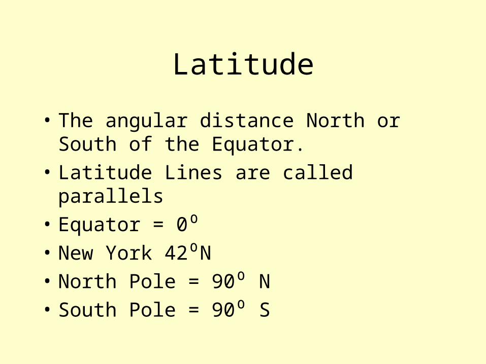
Latitude
• The angular distance North or South of the Equator.
• Latitude Lines are called parallels
• Equator = 0⁰• New York 42⁰N• North Pole = 90⁰ N• South Pole = 90⁰ S
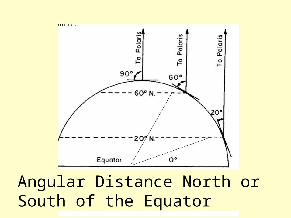
Angular Distance North or South of the Equator
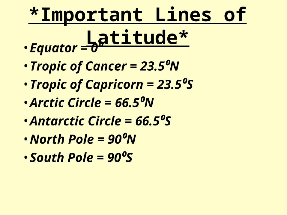
*Important Lines of Latitude*• Equator = 0⁰ • Tropic of Cancer = 23.5⁰N• Tropic of Capricorn = 23.5⁰S• Arctic Circle = 66.5⁰N• Antarctic Circle = 66.5⁰S• North Pole = 90⁰N• South Pole = 90⁰S
Longitude• Angular Distance East or West of the Prime Meridian• Prime Meridian(Greenwich England) = 0⁰• International Dateline = 180⁰• Every 15⁰ of Longitude = 1 hour time difference• 45⁰ = ________hrs• 5 hrs = ________⁰• East is later• West is Earlier
Calculating your Longitude• If a sailor is at 75⁰W longitude and it is noon at
his location. What time is it GMT• 75/15 = 5hrs West is earlier GMT= 5pm
• If it is 3pm GMT and it is 7pm at your location, what is your longitude.
• 3pm to 7pm is 4 hours• 4 X 15 = 60Later is East You are at 60⁰E

General Ideas on Longitude• Longitude Lines meet at the poles.
• Largest Longitude is 180⁰• Hemispheres
–Western
–Eastern
New York State and USA
• Approximate Latitude of New York = 42⁰N
• Approximate Longitude of New York = 74⁰W

Important Lines of Longitude
• Prime Meridian
• International Dateline
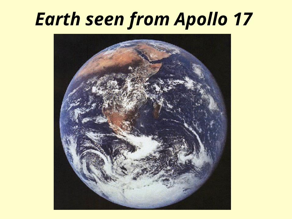
Earth seen from Apollo 17
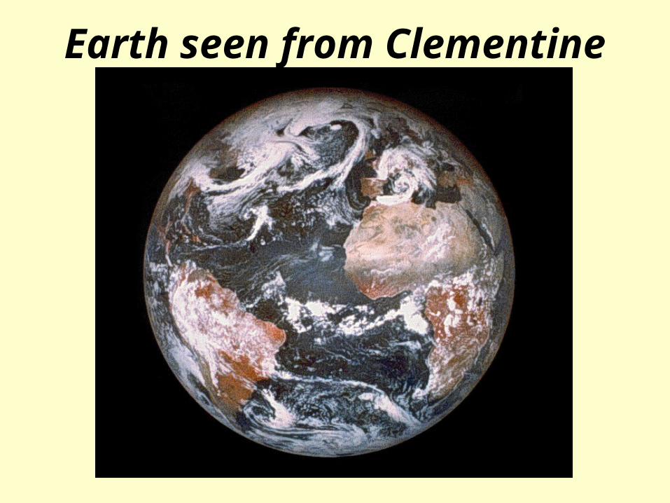
Earth seen from Clementine
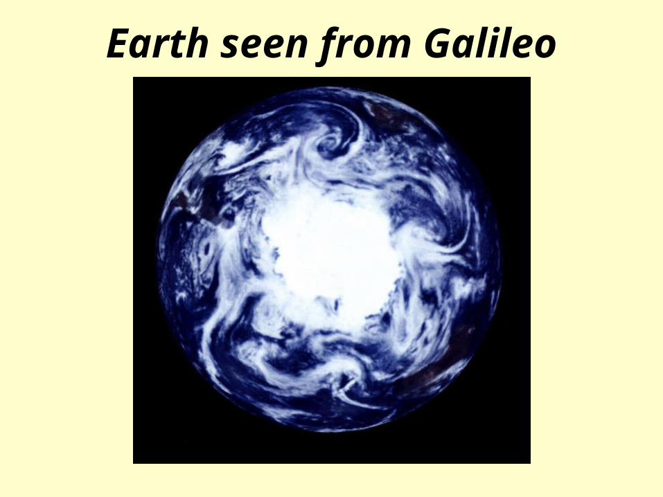
Earth seen from Galileo