tropical eastern north atlantic time-series observatory tenatso specific support action of the...
TRANSCRIPT

Tropical Eastern North AtlanticTime-Series Observatory
TENATSO
Specific Support Actionof the European Union

Basic Objectives:
Establish capability to support long-term observation of atmospheric and oceanicconditions relevant to Global Change in the tropical Eastern North Atlantic region.
Train personnel from Cape Verde to co-operate the site. Link site and training to local need to assess and manage Cape Verde regional environment.
Integrate site within Global Earth Observation System of Systems.
Promote site as an international scientific resource (data / logistics / campaign support)
Notes and ConsiderationsSpecific Support Actions are NOT intended to fund scientific research!2-year duration: EU 550KScience Officer in Brussels: Alan EdwardsPotentially a „Flagship“ programme for EU wrt GEOSS activities outside Europe

Partners:IFM-GEOMAR, Kiel, Germany (Coordinator)
University of York, York, UKInstituto Nacional de Meteorologia e Geofísica, Cape Verde
Instituto Nacional de Desenvolvimento das Pescas, Cape VerdeMax-Planck Inst. für Biogeochemie, Jena, Germany
Institut für Troposphärenforschung, Leipzig, Germany
Katie Read(Univ. York)
Leticia Cotrim da Cunha(IFM-GEOMAR)
Luis NevesN.N.
(INMG)
Pericles SilvaIvanice Monteiro
(INDP)

TENATSO is based on linking the atmospheric and oceanic sites via a shared, common observatory from the beginning… (cf. Tudor Hill / BATS; Mauna Loa / HOTS; etc…)
Why Link and Jointly Coordinate the Atmospheric and Ocean Sites?
Not all the science questions are linked….There are few shared methodologiesTimescales of key processes are often quite different
So we visited the atmospheric site yesterday… what about the ocean site?
but„Earth System“ understanding amongst partners and users has real value;Data from the two sites can and will inform each other;Linked science questions are likely to emerge / Increase in significance;There are real logistical benefits to coordination;Cape Verdean expertise grows in a range of areas of environmental sciences / technologiesOverall visibility and relevance to regional / local environmental concerns is enhanced;Access to research vessels; satellite imagery; etc. grows and can be shared;We can continue to share the pain of proposal writing; etc….

Ocean site: 17.4°N/24.5°W; 3600m water depth~ 4-5 hours from Mindelo with Islandia;„open ocean“: no island effect accordingto 1/12º Model; upwind of atmos. site.
Long-term mooring: already deployed
Monthly sampling with Islandia: Icelandic trawler built 1993Length 22.5 m, beam 5.8 m, draft 3.2 m; cruising speed 13 knots;Should start late Summer 2007
TENATSO Lab. Space:: (32 m2 at INDP: under renovation)Possible deployment of containerised cleanlaboratory for trace metal work

Lab Space at the INDP
1 m
WC
sink
bench
bench
bench
bench
sockets
emergency shower

The (almost) newIslandia

Monthly Measurements with Islandia:CTD-Rosette casts and Plankton nets:Nutrients, O2, TCO2, Alkalinity, DOC, CHN, Chlorophyll, Phytoplankton, Bulk-DNA, HPLC pigments and flow cytometry(Initial Cape Verde measurements: O2, nutrients (manual), chlorophyll, plankton)Additional measurements to be added by science programmes…
Future training towards: primary productivity (O2 or 13C-based); low-level nutrients; zooplankton, etc..;……
The Ocean Site: Basic Variables Measured and Sensors
TENATSO Site has been / will also be sampled by:
Poseidon 328 (Achterberg) February 2006Meteor 68/2 (Brandt) July 2006Meteor 68/3 (Körtzinger) July-Aug 2006Discovery (Achterberg) January 2007Poseidon (Bange) March 2007Merian (Brandt/Visbeck) April/May 2008

Initial TENATSO Mooring
3600m depthDeployed: June 2006Recovery: early 2008
22 Microcat CTDs9 Current Meters1 Upward-looking ADCP @100m1 fluorometer @ 40m1 O2-optode @ 127m1 sediment trap @ 1000m
Future TENATSO Mooring
Additional biogeochemical sensorsAdditional sediment traps (Bremen?)Telemetry?
Plans for possible air-sea interaction buoy via US-SOLAS / (ORION?)

Training:POGO Fellowship toIvanice MonteiroOct-Dec 2006

Research Cruise by Pericles SilvaMerian MSM 04/1 (03.12.06 to 21.12.06)

The Longer-TermSome Elements of a Strategic Plan
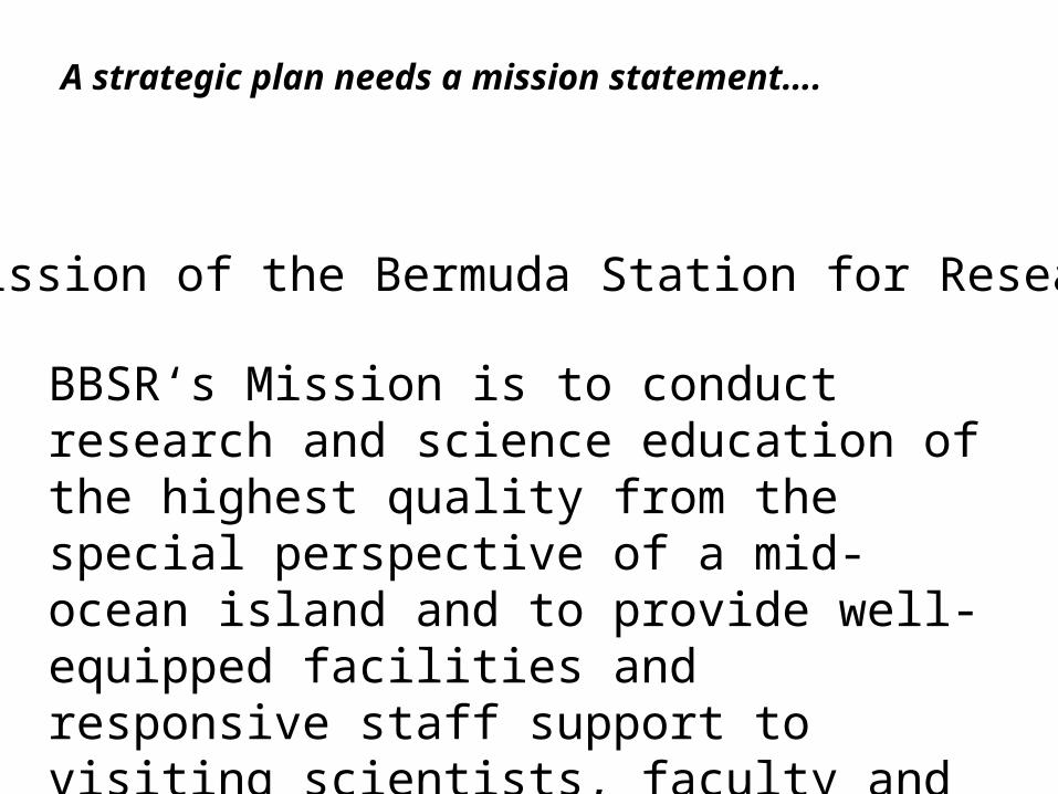
BBSR‘s Mission is to conduct research and science education of the highest quality from the special perspective of a mid-ocean island and to provide well-equipped facilities and responsive staff support to visiting scientists, faculty and students from around the world.
The Mission of the Bermuda Station for Research:
A strategic plan needs a mission statement….

LogisticsInfrastructure
Long-TermObservation
Long-Term„Standard“ Data
Funding CommittedTrained People
External UseOf Data
(e.g. modelling)
Papers fromLong-Term
Data
Process StudiesCampaigns
Papers fromCampaigns
ScientificInterest / Profile
Support
SLOW
INDIRECT

Examples of Process Studies Planned for the Ocean Site:
SOPRAN:Halocarbon production experiments (IFM-GEOMAR, Uni-Hamburg) Light penetration studies (Uni-Hamburg, IOW)Microstructure, mixing and 1-D GOTM modelling (IOW, IFM-GEOMAR)Iron speciation studies and modelling (AWI, IFT, IFM-GEOMAR)Nitrogen fixation bioassays (IFM-GEOMAR, IOW)Virtual Mooring (IFM-GEOMAR)Helium isotope studies (Uni-Bremen)
Non-SOPRAN interest / plansParticle flux studies (Buessler, WHOI)Metal sampling (Boyle, MIT)Iron residence time studies (Achterberg, NOC, Lam, WHOI)UK-GEOTRACES studies (Univ. Oxford + others)Air-sea interaction (McGillis, LDEO)H2 production studies (Dalhousie Univ.)Possible links to PIRATA and other climate programmes

Education & Training Science Logistics& Services
Long-Term Strategic Objectives (North-South; South-South):Science and science logistics support for the tropical / West African region
data / aircraft / ships / moorings / gliders / laboratories
Education and training for West African nations (via Cape Verde University?)


TENATSO: Time-Line
Atmospheric site:Site Manager selected: March, 2006Road to site under construction: nowContainer shipment: June, 2006Power: July 2006Trace gas startup: October 2006Tower construction: October-November 2006Particle measurement start-up: early 2007Greenhouse gas start-up: early 2007
Major AMMA field campaign (with extra containers;Aircraft overpasses; etc.: July 2007).

TENATSO: Time-Line
Ocean site:Site Manager selection: underwayMooring deployment: June 2006 (from Meteor)Technician training: October-December 2006 (POGO funds)Islandia refit: late 2006Equipment installation / training: Spring 2007Islandia Test-cruise: summer 2007
Outreach (to scientific community):International Users Workshop: Mindelo; January 2007
(funding from: ACCENT; UK SOLAS; UK Quest; IFM-GEOMAR)???EurOceans???

Developing Links to other programmes and extensions:
Ocean SiteUS: contacts to US SOLAS (McGillis)
also to: WHOI (Buessler/Sholkowitz) – (Cape Verde/Massachusetts connection)Boyle (MITESS sampler) (Cape Verde/Massachusetts connection)Minnett (RSMAS, Miami)
Cape Blanc (Bremen long-term sediment trap mooring. Gerhard Fischer)ESTOC (Melchor Gonzales)PIRATA (Bernard Bourles; possible relation to PIRATA extentionGlider Sections: glider section S. of Cape Verde (planned)Glider Section: Cape Verde to Mauritania (dreamed)

Problems:
All conceivable start-up problems are to be expectedTrainingDistance / Travel costs (sponsors)
Immediate:Ship refit….
Advantages:Enthusiastic, motivated, cooperative workforce and institutionsSalaries low by „Northern“ standards (sustainability / funding)
Data Management:
Utilize capabilities developed under ANIMATE (CIS, PAP, ESTOC compatible)Plan to link to OceanSITES / MERSEA


Towards a West African Science Logistics Centre
in Cape Verde
Towards a West African Science Logistics Centre
in Cape Verde
Instituto Nacional de Desenvolvimento das PescasSão Vicente, Cap Verde
Instituto Superior de Engenharia e Ciências do MarSão Vicente, Cap Verde
Instituto Nacional de Meteorologia e GeofísicaSão Vicente, Cap Verde

Atmospheric Aerosol and ClimateHurricane DevelopmentTropical Atlantic Variability
Ocean Biogeochemistry and PhysicsThe Mauritanian UpwellingPhotochemistry of Trace GasesN2-fixation / iron-dust effects
Air Mass Trajectories that reach Cape Verde
Global CO2 Monitoring Network:Lack of Stations in Tropics and Africa

Urgent Need for:
Journal of Global Ocean (Global Change?) Data
On-line Journal for:Data descriptionsDescription of Quality-Control stepsMetadataBasic introduction into key aspects/features of data set(plots / highlights / comparison with other data sets / etc)
Strict peer-review: significance, quality, quantity, relevance, completenessDirect link to original data holdings at a data centre
Impact factor
Data centres: please establish!

G e rm a n c o nta ine r
To we r
SO LAS 40 ft m a in c o nta ine r
SO LAS sto ra g e c o nta ine r
sp a c e fo r o the rs
Do m ina nt wind d ire c tio n
DO AS lig ht p a th
Atmospheric Observatory LayoutContainer Lab.
Atmospheric Data +Sampling Opportunities:Trace GasesAerosols / DustMeteorologyGreenhouse GasesDOAS
TENATSO will provide:
Trace gases:O3, CO, NOx, NOy, organics, DMS, halo-carbons.Aerosols: particle size; total particle sampler; cascade impactors;greenhouse gases: CO2, CH4, N2O, CO, SF6, the ratio of O2/N2, and Ar/N2 incl. the isotope ratios.

Location,Location,Location.
Why Cape Verde?
High-amplitude processes….. in a difficult-to-reach region

Cooperations / Links
SeaWiFS Feb 2000

Chlorophylland Ocean Processes
Dust andAtmospheric Processes