trail guide to world geography - rainbow resource centerweek 1 - world geography trails ©2006...
TRANSCRIPT
©2006 Geography Matters® www.geomatters.com
GGeeooggrraapphhyy NNootteebbooookk
bbyy ________________________________
Trail Guide to World Geography
©2006 Geography Matters® www.geomatters.com
GGeeooggrraapphhyy NNootteebbooookk© 20___ by _________________________
All rights reserved. This book may not be duplicated in any way without theexpressed written consent of the author.

©2006 Geography Matters® www.geomatters.com
Table of Contents
World
North America
South America
Europe
Africa
Asia
Oceania
Antarctica
___________________________________
___________________________________
___________________________________
___________________________________
___________________________________
___________________________________
___________________________________
___________________________________
___________________________________
___________________________________
___________________________________
___________________________________
___________________________________
___________________________________
___________________________________
___________________________________
___________________________________
___________________________________
___________________________________
___________________________________
___________________________________
___________________________________
___________________________________
___________________________________


WWeeeekk 11 -- WWoorr lldd
Geography Trails
©2006 Geography Matters® www.geomatters.com
DDaayy 11
Climate is the term used to describe average day-to-day weather conditions; what two factors cre-
ate these conditions? _______________________________
What kind of book contains a collection of maps? ___________________
DDaayy 22
List the seven continents in order from largest to smallest. (hint: see continent summaries) ___
_______________________________________
What are the four directional arrows together on a map called?______________
DDaayy 33
What are the lines running east and west across the maps? _______________
What continents are located mostly in the Northern Hemisphere? _____________
_______________________________________
DDaayy 44
What is the center point from which all meridians begin and which is the north extremity of the
earth's axis? __________________________________
What point on earth is the only place from which all directions are south? (Think about this.) ___
_______________________________________
MMaappppiinnggWWoorr ll dd• Outline the borders of each of the seven continents. Label with BLACK and print with all CAPS.• Mark the equator with a dotted line. Label with 0° in the left and right margins (borders) of the
map. Write "Equator" on the dotted line.• Locate the Arctic Circle at 66.33°N and the Antarctic Circle at 66.33°S; mark with a dot-dash line and
label.

©2006 Geography Matters® www.geomatters.com
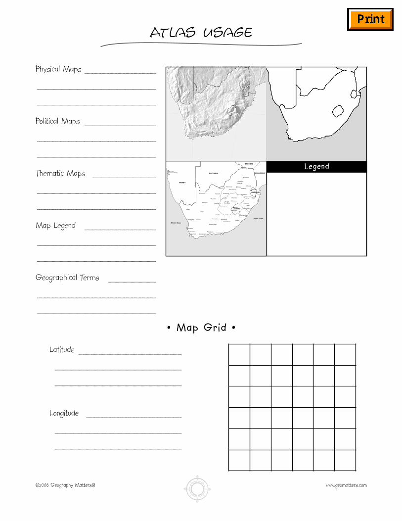
Atlas Usage
Physical Maps _________
_______________
_______________
Political Maps _________
_______________
_______________
Thematic Maps ________
_______________
_______________
Map Legend _________
_______________
_______________
Geographical Terms ______
_______________
_______________
Messina
Okiep
Walvis Bay(SOUTH AFRICA)
Vanrhynsdorp Calvinia
Saldanha
Cape Town
Worcester
Swellendam
OudtshoornPort Elizabeth
Beaufort West
Victoria West
De Aar
Middleburg
QueenstownUmtata
Uptington
KurumanVryheid
Vryburg
Mmabatho
Kimberley
Bloemfontein
Kroonstad
Bethlehem
Durban
Port Shepstone
Gollel
Ladysmith
Pietermaritsburg
Pietersburg
Nylstroom
NelspruitPretoriaRustenburg
Johannesburg
Klerdsdorp
Witbank
Standerton
Maseru
Mafeteng
Mbabane
LESOTHO
SWAZILAND
MOZAMBIQUE
ZIMBABWE
BOTSWANA
NAMIBIA
Cape
Transvaal
Orange Free State
Natal
Indian Ocean
Atlantic Ocean
LLeeggeenndd
•• MMaapp GGrriidd ••
Latitude _____________
________________
________________
Longitude ____________
________________
________________

©2006 Geography Matters® www.geomatters.com
Solar System
Mercury ______________________________________
_________________________________________
Venus _______________________________________
_________________________________________
Earth _______________________________________
_________________________________________
Mars _______________________________________
_________________________________________
Jupiter ______________________________________
_________________________________________
Saturn ______________________________________
_________________________________________
Uranus ______________________________________
_________________________________________
Neptune ______________________________________
_________________________________________
Pluto _______________________________________

WWeeeekk 22 -- WWoorr lldd
Geography Trails
©2006 Geography Matters® www.geomatters.com
DDaayy 11
List the oceans in order from the largest to the smallest. ________________
_______________________________________
What oceans are in the Southern Hemisphere? ____________________
DDaayy 22
What continents are located in the Eastern Hemisphere? ________________
_______________________________________
What continents are in the Western Hemisphere? ___________________
_______________________________________
DDaayy 33
How much of the water on Earth is fresh water?____________________
What kind of map depicts countries, states, provinces, territories, and cities? ________
DDaayy 44
What oceans touch the border of the continent of North America? ____________
_______________________________________
What kind of map depicts different land elevations and often represents ocean depths by different
colors? ____________________________________
See “Note on oceans” in Teacher’s Manual.
MMaappppiinnggAAdddd ttoo WWoorr lldd MMaapp• Label the oceans. Use BLUE and print with all CAPS. • Label the prime meridian at 0° and the international date line at 180°.
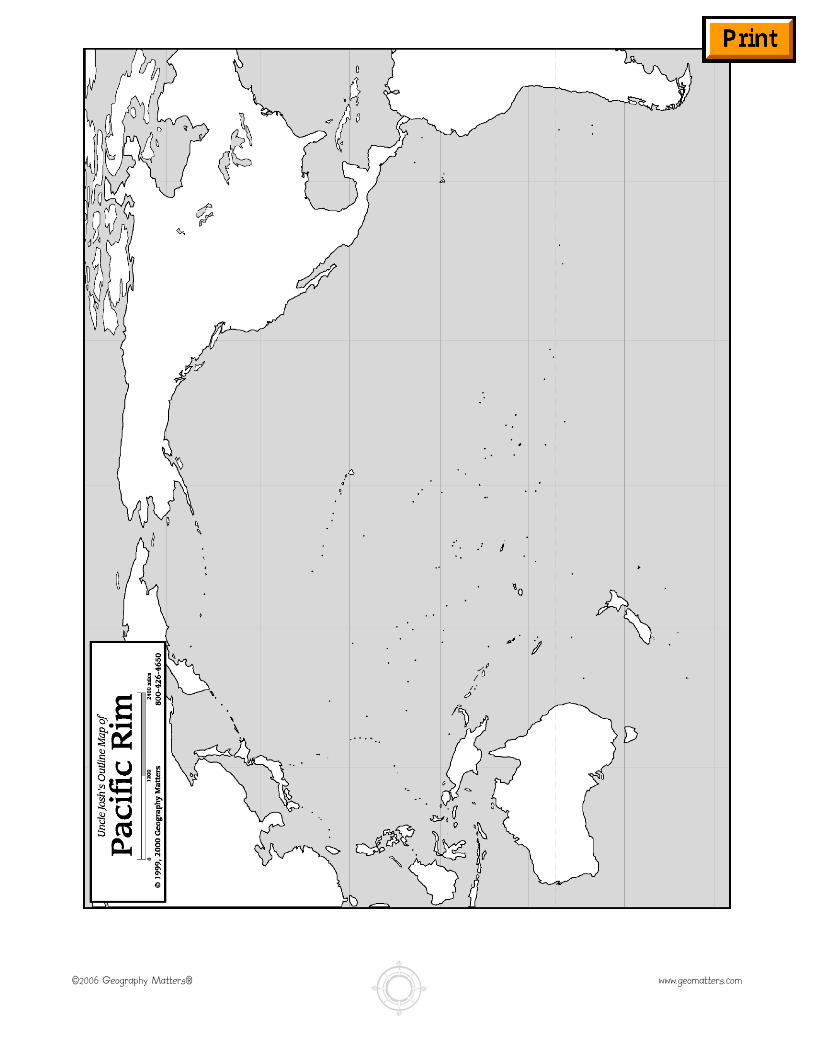
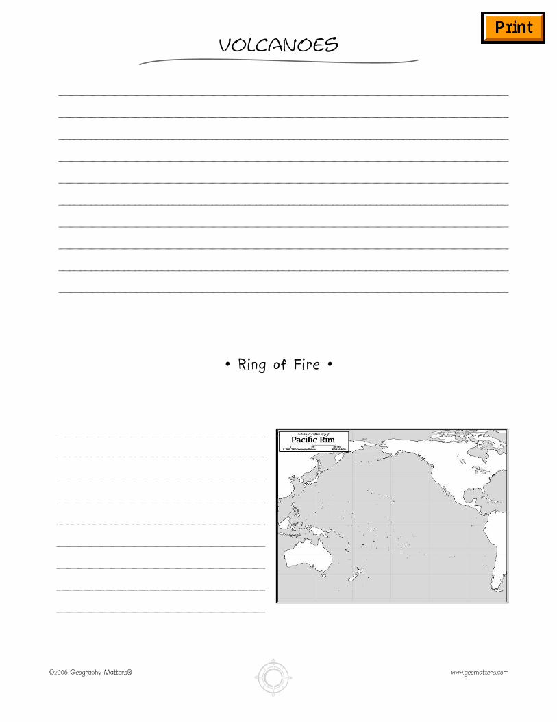
PPaacc ii ff ii cc RRiimm• Label the Pacific Ring of Fire on a map of the Pacific rim.
GGeeooggrraapphhyy TTeerrmmss• latitude (parallel)• hemisphere
©2006 Geography Matters® www.geomatters.com
Volcanoes
_________________________________________
_________________________________________
_________________________________________
_________________________________________
_________________________________________
_________________________________________
_________________________________________
_________________________________________
_________________________________________
_________________________________________
___________________
___________________
___________________
___________________
___________________
___________________
___________________
___________________
___________________
•• RRiinngg ooff FF ii rree ••
©2006 Geography Matters® www.geomatters.com
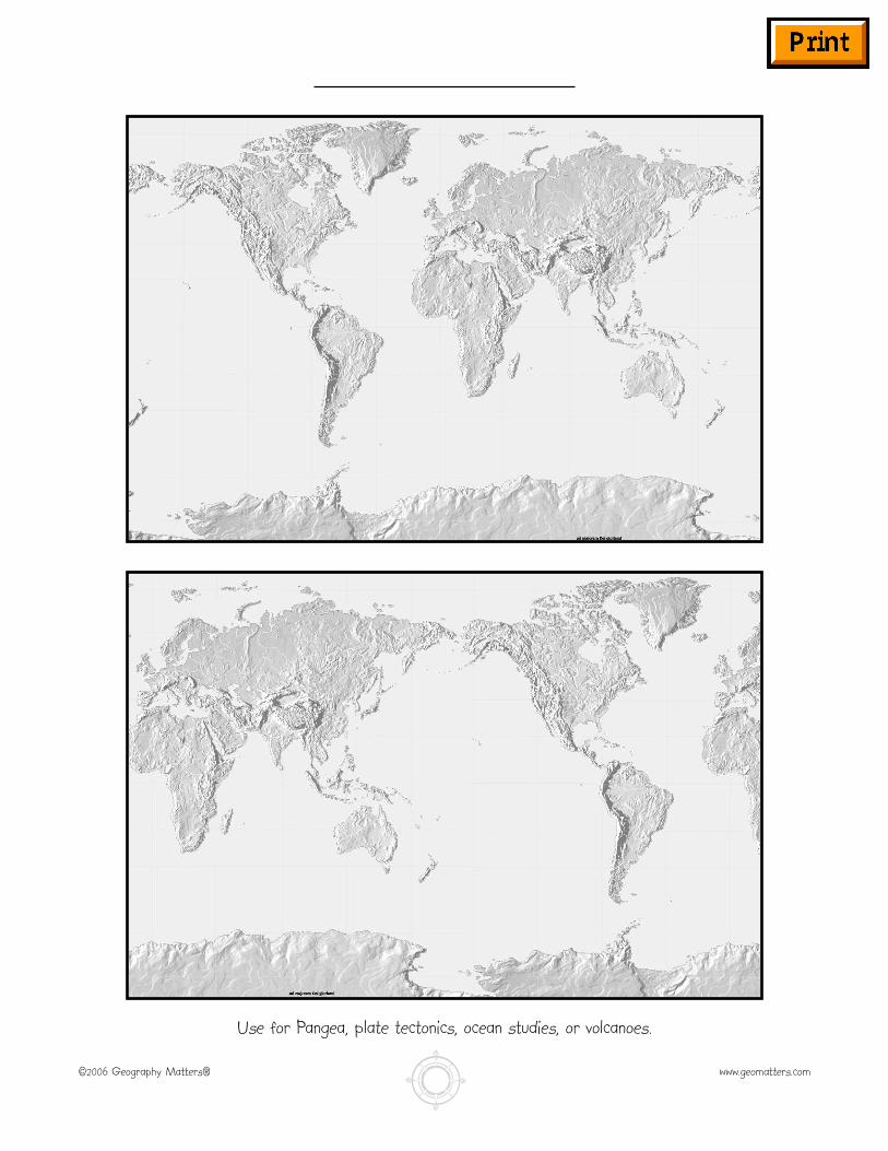
Use for Pangea, plate tectonics, ocean studies, or volcanoes.