the u.s. geological survey library system
TRANSCRIPT
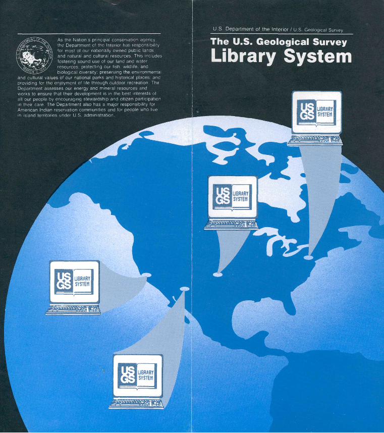
2j>x As the Nation's principal conservation agency. »?v^\^\ the Department of the Interior has responsibility
y. for most of our nationally owned public lands > 19) and natural and cultural resources. This Includes
' W7 fostering sound use of our land and water _^ (/ resources: protecting our fish, wildlife, and l^^ biological diversity: preserving the environmental
and cultural values of our national parks and historical places: and providing for the enjoyment of life through outdoor recreation. The Department assesses our energy and mineral resources and works to ensure that their development is in the best interests of all our people by encouraging stewardship and citizen participation in their care. The Department also has a major responsibility for American Indian reservation communities and for people who live m island territories under U.S administration.
The U.S. Geological Survey
Library System

The U.S. Geological SurveyLibrary System
The U.S. Geological Survey Library, established in 1882, is one of the largest earth science libraries in the world. The Library System consists of the headquarters library in Reston, Virginia, and three branch libraries in Denver, Colorado; Flagstaff, Arizona; and Menlo Park, California.
AccessLibraries are open to the public Monday through Friday. Reference service is provided at all library locations. Certain materials are available to other libraries through interlibrary loan. The USGS Library System contributes to several in ternational bibliographic databases and provides USGS publications to other scientific libraries and organizations through exchange agreements.
HoldingsThe Library System contains more than 1 million books and journals and more than 450,000 maps covering all aspects of the earth sciences and related subjects. Subjects collected extensively include
Cartography Earthquakes and
seismology Geochemistry Geology Ground water Hydrology Mineral resources Mineralogy
Oil and gas resources
Paleontology Physical geography Remote sensing Solid-earth geophysics Surface water Volcanology
Holdings include USGS publications and materials from sources all over the world, including State and foreign geological surveys, geological and other scientific societies, muse ums and academic institutions, and govern ment scientific agencies. Materials are received through exchange, gift, and purchase. The Libraries in Reston and Menlo Park are desig nated as official depositories for selected U.S. Government publications.
Special CollectionsRestonThe Cartographic Information Center contains more than 290,000 map sheets and their accom panying texts, from all parts of the world. The center also provides information about maps, mapping, and related subjects focusing on earth science topics.
DenverThe Field Records Library contains more than 20,000 field notebooks or files, 4,600 map groups, 70,000 aerial photographs, and other material relating to projects carried out since 1870 by the USGS and its predecessor surveys.
The Photographic Library consists of about 300,000 photographs taken during geologic studies of the United States and its territories by the USGS and its predecessor surveys from 1869 to the present. Reproductions of photo graphs are available for purchase.
Menlo ParkThe Aerial Photography Collection includes more than 250,000 aerial photographs, primarily of California during the early 1960's and 1970's. The collection also contains still photographs and about 25,000 slides on earth science subjects, plus a large number of videotapes.

Assesses amdl YeDecDhoinie U.S. Geological Survey Library National Center, MS 950 12201 Sunrise Valley Drive Reston, VA 22092 (703) 648-4302 Reference (703) 648-4105 TTY(703) 648-5555 Cartographic Information Center
(MS 952)
U.S. Geological Survey LibraryBox 25046 Federal Center, MS 914Denver, CO 80225-0046(303) 236-1000 Reference(303) 236-0998 TTY(303) 236-1005 Field Records(303) 236-1010 Photographs
U.S. Geological Survey Library 2255 North Gemini Drive, MS 9270 Flagstaff, AZ 86001-1698 (602) 556-7008 Reference
U.S. Geological Survey Library 345 Middlefield Road, MS 955 Menlo Park, CA 94025-3591 (415) 329-5027 Reference (415) 329-5094 TTY (415) 329-5009 Photographs
This publication is one of a series of general interest publications prepared by the U.S. Geological Survey to provide information about the earth sciences, natural resources, and the environment. To obtain a catalog of additional titles in the series "General Interest Publica tions of the U.S. Geological Survey," write:
U.S. Geological SurveyBranch of DistributionP.O. Box 25286Denver, CO 80225
* U.S. GOVERNMENT PRINTING OFFICE: 1994-382-254