the statewide parcel data effort in...
TRANSCRIPT

August 2014
Leslie Pelch VT Center for Geographic Information

Towns Regional Planning Commissions State Agencies and Departments Federal Agencies Consultants working with towns and citizens
Real Estate
Surveyors/engineers
Environmental
Foresters

Maps (property, town, regional) Analysis (economic development,
environmental, transportation, land use) Apply for grants, program participation
(Current Use)


Inconsistent from town to town
Age (varies from early 90’s to current)
Content (what information for each parcel?)
Boundaries (don’t always line up with adjacent towns)
Not available for every town

Consistent from town to town – follows VT GIS Parcel Data Standard
Includes SPAN number to allow easy join to Grand List data
Current – updated every year or two Eventually – seamless data (lines up at town
boundaries) Eventually – spatially accurate (will help towns
tax equitably)

Increase quality (follow consistent standard) Increase quantity (some towns have NO tax map…) Consistency increases usefulness to town as well as
regional and state entities Parcel data can be the base of analysis to answer
questions we are all asking about: School Financing Current Use Program Land Use Patterns Economic Development Natural Resource Health Resilience in the Face of Natural and Other Disasters

VCGI – we are the state geospatial data warehouse
Many State Agencies and Departments – they have an interest in using statewide, consistent, up-to-date parcel data!
Regional Planning Commissions VT League of Cities and Towns VT Assoc. of Listers and Assessors VT Society of Land Surveyors

Meetings! Since Fall of 2013 We discuss what everyone would like to see in
terms of data and a long-term, funded data maintenance program
VTrans will perform a Return on Investment report and an analysis of Parcel Life-Cycle options
VCGI received a grant in order to offer parcel data funding to northern VT towns

14 towns will receive funding 3 towns will have parcel maps and data for
the first time! Other towns have very low quality or
incomplete data that will be improved $130,000 - $160,000 will be given to towns All data will meet state standard and link to
grand list!

More money available for 2015!

VTrans may be able to use federal money from its Right of Way program to do the initial upgrade and creation of data (timing may not work out on this plan)
This would be a statewide program to make sure that every town had up-to-date GIS parcel data that meets the VT GIS Parcel Data Standard and is linked to the town’s Grant List
That effort is still being discussed within VTrans higher management
VTrans would like other agencies to cost share in this initiative

VTrans report will be generated during the late fall of 2014.
In the mean time we will:
Update the GIS Parcel Data Standard
Improve data that exists by working with Towns and Mapping Contractors (add SPAN)
Keep exploring program and funding options for an eventual maintenance program


VCGI will communicate directly with Mapping Consultants
Ask them to add SPAN Ask them to ensure link between parcel data
and grand list Ask them to create metadata Ask them to pass data directly to VCGI as well
as town Provide letter they can use to ask town for
permission

Discrepancies between the town’s Grand List and the Parcel database shall be resolved so that at least 98% of the polygons must link to a corresponding Grand List record and vice-versa.
All parcels should be assigned SPAN numbers, including tax-exempt properties.
Parcel data shall include VTrans Right of Way (ROW) polygons for state highways.
All parcel polygons that border roads shall be defined as ending at the road ROW (not the centerline).

1. In State Government?
State employee collects parcel boundary changes and edits state database
2. Funding Directly to Towns?
Towns hire mapping consultant
RPC could manage for some towns
3. Funding to Contractor (Like NH)?
Contractor collects parcel boundary changes and edits state database

General Fund Additional Subdivision Permit Fees Increase in funding provided to towns by Tax
Dept. (Education Fund) Additional Wastewater Permit Fees Property Tax Transfer Fee Contributions from all State Agencies What do you think?
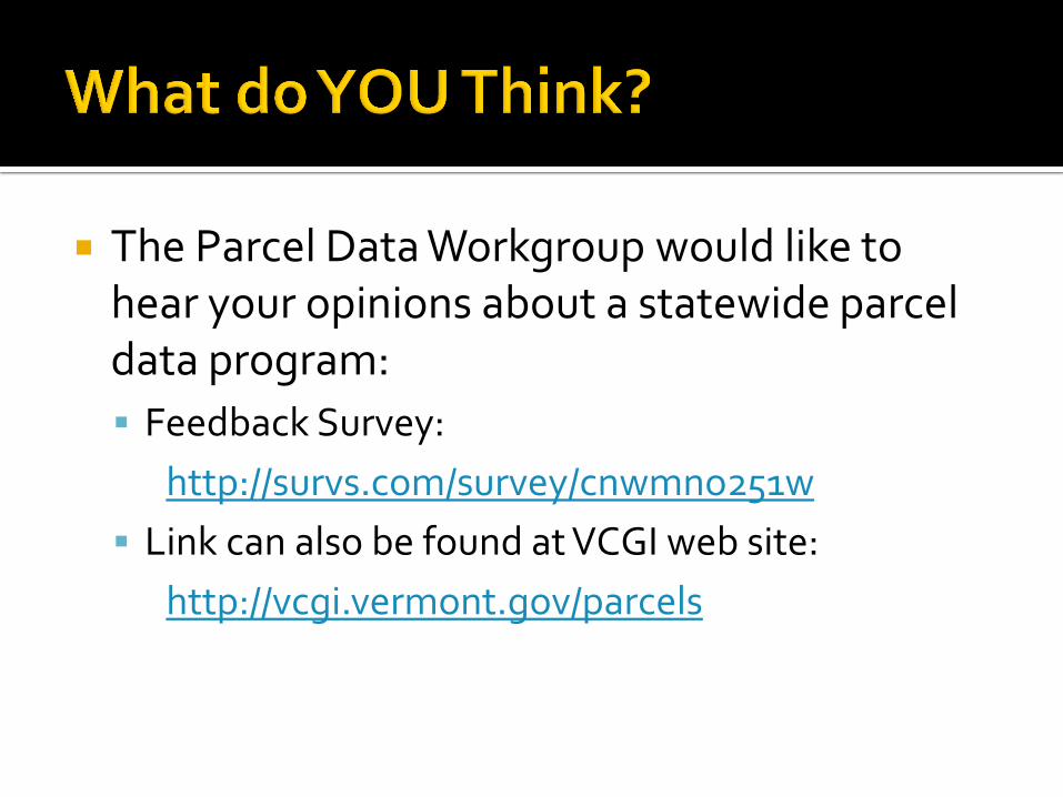
The Parcel Data Workgroup would like to hear your opinions about a statewide parcel data program:
Feedback Survey:
http://survs.com/survey/cnwmno251w
Link can also be found at VCGI web site:
http://vcgi.vermont.gov/parcels

Leslie Pelch VT Center for Geographic Information
Statewide Parcel Data Page: http://vcgi.vermont.gov/parcels
Feedback Survey: http://survs.com/survey/cnwmno251w