the global wind oscciation and it’s impact … and stronger jet features ... high impact weather...
TRANSCRIPT

THE GLOBAL WIND OSCILLATION AND ITS IMPACT ON SOUTHWEST
MICHIGAN SEVERE STORMS
By William Marino
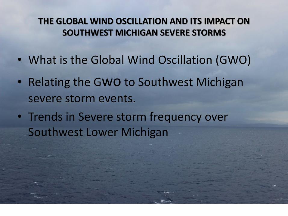
THE GLOBAL WIND OSCILLATION AND ITS IMPACT ON SOUTHWEST MICHIGAN SEVERE STORMS
• What is the Global Wind Oscillation (GWO)
• Relating the Gwo to Southwest Michigan
severe storm events.
• Trends in Severe storm frequency over Southwest Lower Michigan

What is the GWO? Atmospheric Angular Momentum (M)

What is the GWO? M combined with dM/dt

• Sub-seasonal time scale • Captures Madden-Julian Oscillation (MJO) and
mid–latitude processes (e.g., troughing and ridging)
• Net easterly global wind: – Can occur since tropical winds are deeper and farther
from rotation axis. – means blocking and meridional flow leading to deeper
troughs and stronger jet features (typical of La Nina)
• Net westerly global wind: – Stronger mid-latitude flow and rapidly moving
synoptic systems (typical of El Nino)
What is the GWO? Other Properties

Primary Stages of GWO and how this helps forecasting over CONUS
• The four primary phases of the GWO are described below, along with generally cold season (November-March) probable weather impacts for the USA. The GWO recurrence interval, or "time it takes to make a circuit", ranges from a broad 15-80 days. Two of the stages project strongly on El Nino and La Nina circulation states, which are also characterized by positive (Stage 3) and negative (Stage 1) global AAM anomalies, respectively. Stages 2 and 4 are transitional.
• Stage 1 (La-Nina like) – the global relative AAM anomaly is negative. The negative anomaly is primarily due to easterly upper level wind anomalies that extend from the Eastern Hemisphere tropics to the Western Hemisphere mid-latitudes. A retracted Pacific Ocean jet stream is a key feature in the total field. Troughs are probable across the western USA with a ridge over the southeast. High impact weather is favored across the Plains.
• Stage 2 – the global relative AAM tendency is positive. This means that negative AAM is being removed from the atmosphere by surface friction and mountains. At the same time, westerly wind anomalies are intensifying in equatorial regions of the Western Hemisphere. Fast Rossby wave dispersion events in both hemispheres are a coherent feature of this stage and Stage 4. A cold regime is probable across the central USA.
• Stage 3 (El-Nino like) – the global relative AAM anomaly is positive. Westerly wind anomalies move into the Eastern Hemisphere, broaden in latitudinal extent and link up with deep westerly flow anomalies over the mid-latitude Western Hemisphere. An extended Pacific Ocean jet stream and southward shifted storm track is observed favoring high impact weather events along the USA west coast.
• Stage 4 – the global relative AAM tendency is negative. Positive (westerly) AAM anomalies are being removed by surface friction in
the Western Hemisphere mid-latitudes and through mountain torques across the Northern Hemisphere topography. The next phase of the oscillation (if there is one) is represented by easterly wind anomalies intensifying over equatorial regions of the Western Hemisphere. This stage has enhanced subtropical jets and closed lows in the subtropics favoring rainfall events over the southwestern USA.

GWO and ENSO
Note as our El Nino has developed over the past few months the GWO is doing as one would expect, it is be coming positive (Mr), earlier the GWO was more La Nina like (negative Mr). Note…. El Nino = 5 consecutive months Nino 3.4 >= 0.5c, only 4 so far
May
Aug. 21
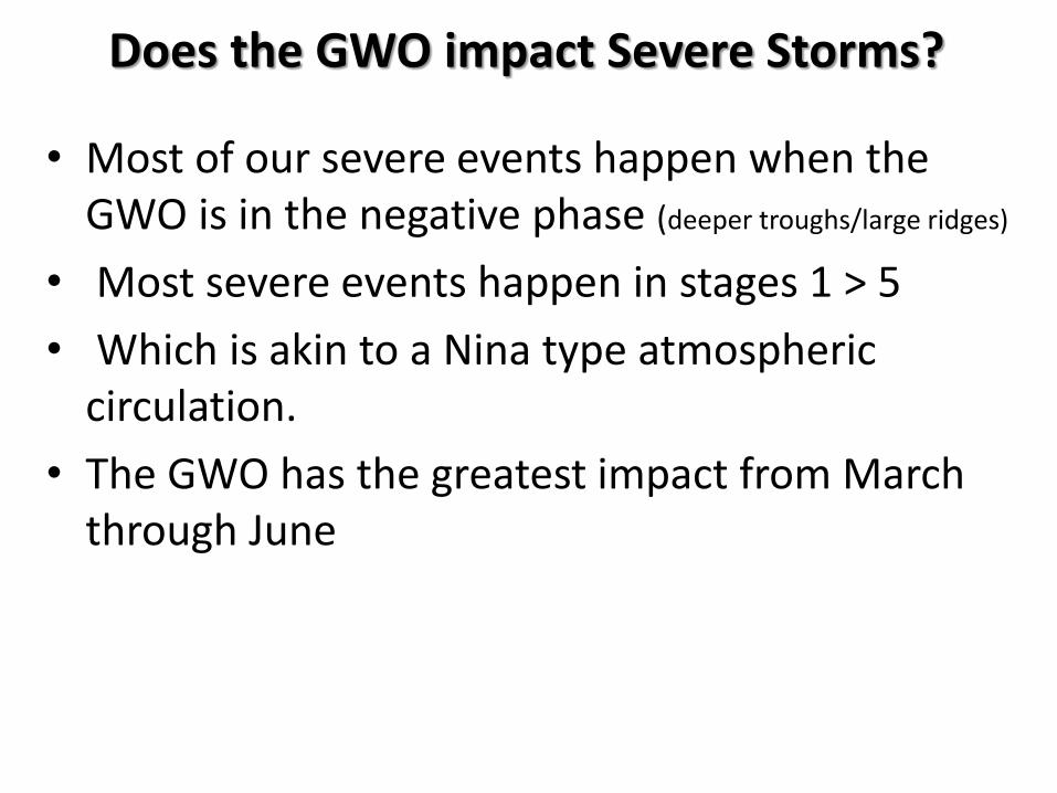
• Most of our severe events happen when the GWO is in the negative phase (deeper troughs/large ridges)
• Most severe events happen in stages 1 > 5
• Which is akin to a Nina type atmospheric circulation.
• The GWO has the greatest impact from March through June
Does the GWO impact Severe Storms?

The GWO and Southwest Michigan Severe Storms
41 33 31
21 19
5 Largest Events since 1985 Plotted

Angler Momentum and Severe Events M anomalies / Events April – June 2015
Portlan
d To
rnad
o
15 4 15 4 6 34
2
Southwest Michigan 2015 Severe Events and the “M”

Looking at a Few Cases June 8 2008 41 severe events GWO = -1
M= -.98 dM/dT= -0.12

Looking at a Few Cases June 8 2008 41 severe events GWO= -1
M= -.98 dM/dT= -0.12

Looking at a Few Cases April 12 2001 8 sever events GWO= -2.3
M= -2.19 dM/dT= -1.2
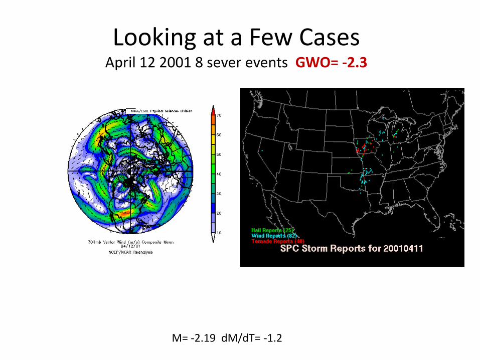
Looking at a Few Cases April 12 2001 8 sever events GWO= -2.3
M= -2.19 dM/dT= -1.2
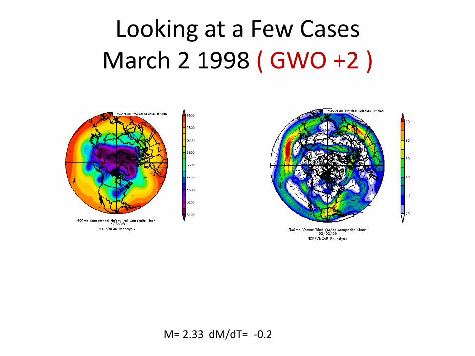
Looking at a Few Cases March 2 1998 ( GWO +2 )
M= 2.33 dM/dT= -0.2

Looking at a Few Cases March 19 19978 ( GWO +3 )
M= 3.00 dM/dT= 0.1

% GWO Negative / Severe Event Size
40, 100.0% 35, 100.0% 30, 100.0% 25, 100.0% 20, 100.0% 15, 100.0%
10, 70.0% 5, 69.2%
0.0%
20.0%
40.0%
60.0%
80.0%
100.0%
120.0%
0 5 10 15 20 25 30 35 40 45
% G
WO
NEG
# of Severe Events per Episode
# Severe Events in Episode
# Severe Events in Episode
For the 8 largest severe episodes, all occurred when the GWO was negative

Where to Find Current GWO Data
• Definition and explanation • Phase of the GWO for the past 90 days • Phase of the GWO for the past 120 days • Phase of the GWO for the past 180 days • Global Anguler Momentum Anomaly for the past 90 day • Global Anguler Momentum Anomaly for the past 120 days • Global Anguler Momentum Anomaly for the past 180 days
CONCLUSION
• The largest events (15 or more) all occur when the GWO is negative (La Nina like planetary wind)
• 83% of all severe episodes occur when the GWO is either negative or if positive, less than 1.0 (weak)
• Most of the weaker events that occur when GWO is positive happen when the GWO is less than 1.0 (weak)