the climate of hawaii an edge of your seat thriller!
Post on 19-Dec-2015
215 views
TRANSCRIPT

THE CLIMATE OF HAWAII
An edge of your seat thriller!
Air Circulation &Ocean Currents

Air Currents:How are they created?
• As the sun’s rays hit the earth, they warm different parts of the land and ocean at different rates.
• This rate of heating depends on the angle of the earth while rotating.
• Most of the heat falls upon the middle of the earth, near the equator.
• This creates high and low pressure areas and leads to the rise and fall of air masses around the globe.
• As warm air on the equator rises, cool air from the poles is pulled in.
• Wind blows due to this cycle of air masses heating, cooling, and moving.

Global Air Patterns

A Closer Look...

The Coriolis Effect
• As wind blows from high pressure areas to to low pressure areas, the airflow is deflected due to the rotation of the earth.
• The wind tends to follow more east-west trends rather than north-south due to the Coriolis Effect.
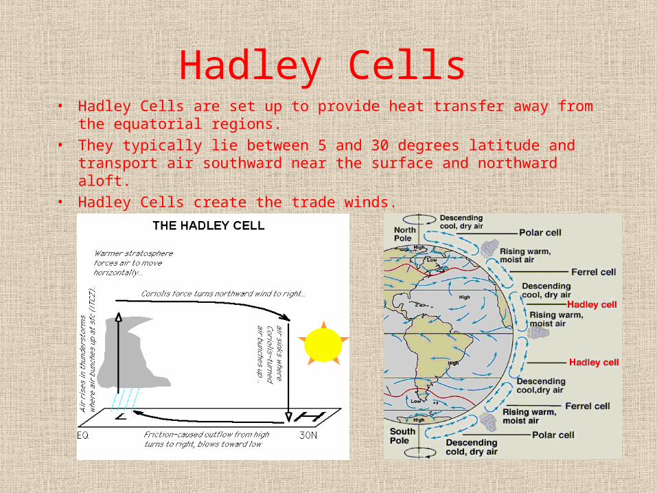
Hadley Cells• Hadley Cells are set up to provide heat transfer away from the equatorial
regions.
• They typically lie between 5 and 30 degrees latitude and transport air southward near the surface and northward aloft.
• Hadley Cells create the trade winds.

Trade Winds• The trade winds are responsible for most of
Hawaii’s weather, especially precipitation patterns.
• Trade winds are steady winds, generated by Hadley Cells in the tropics, that blow out of the northeast.
• The trade winds are prevalent over 50% of the time.
• They are steady and reliable during the summer months and are weaker and less predictable during the winter.

Seasonal Trade Wind Patterns
• Above: January - high is centered northeast of Hawaii, less reliable, weak July - high is centered north of Hawaii, reliable, steady

How does this affect precipitation patterns?
• The trades out of the northeast strike Hawaii’s mountains and the air is forced upward.
• As the air ascends, a trade wind inversion occurs around 5,000 feet.
• The air above the inversion is dry, stable, and gently subsiding; the air below the inversion is cooler and moist.
• As the air is forced upward by Hawaii’s topography, it cools and produces rapid precipitation.
• This is known as orographic lifting.• As a result, the windward side of the island, particularly
around 3,000 feet above sea level, is much wetter than the leeward side.

Easterly Waves• Strong eastern ocean currents in the Pacific move
long bands of warm water from Asia to Hawaii.

One Big Wake!
• These easterly waves have a unique effect on Hawaii. It has been discovered that, due to the coupled effects of the northeasterly trade winds and the eastward ocean currents, the Hawaiian Islands produce the largest “wind wake” in the world.
• How does this happen? The trades blowing from the northeast are split upon hitting the islands. The stronger winds move along the flanks of the islands, while the weaker winds move along the leeward sides. The trades and the winds from the ocean currents converge, and a wake is created.

Weather Anomalies in Hawaii
• Subtropical Anticyclones-definition: regions of high pressure formed by the effects of Hadley Cell circulation-descending air spreads out over a cool surface layer and forms an inversion-subtropical anticyclones are responsible for stable atmospheric air conditions and hot, dry weather-they lead to the formation of trade winds
• Droughts -usually only occur during El Nino events -the 10 driest years in Hawaiian weather records were all associated with El Nino
• Hurricanes, Tsunamis, and Thunderstorms-these types of weather anomalies are rare occurrences in Hawaii-only four hurricanes have affected the islands since 1957-the weather stations in record in average of less than 19 thunderstorms per year

Tsunami Damage

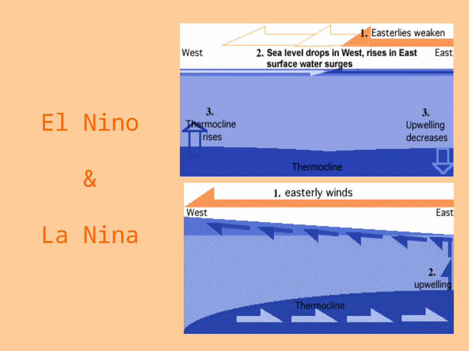
El Nino• El Nino is the Spanish name for “Christ Child.” It describes the periodic
development of warm ocean waters in the Pacific along the coast of South America, usually during the winter months.
• El Nino is linked with ENSO, which stands for El Nino Southern Oscillation-the cycling of a Pacific Ocean pattern.
• During El Nino, the trade winds die down and warm waters from the western Pacific drift eastward toward the Americas.
• La Nina is just the opposite and correlates with stronger than usual trade winds. This creates colder surface temperatures in the eastern Pacific.
El Nino
&
La Nina

ENSO’s Effect on Hawaii
• During an El Nino event, the air and ocean surface temperatures rise, and Hawaii tends to experience drought like conditions.
• Hawaii also tends to experience a higher frequency of hurricanes during El Nino events.
• During a La Nina, Hawaii’s weather is particularly cold and wet.
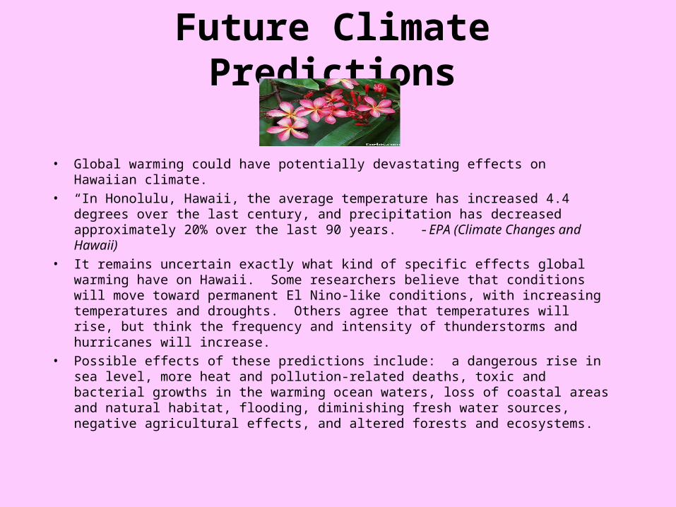
Future Climate Predictions
• Global warming could have potentially devastating effects on Hawaiian climate.
• “In Honolulu, Hawaii, the average temperature has increased 4.4 degrees over the last century, and precipitation has decreased approximately 20% over the last 90 years.” -EPA (Climate Changes and Hawaii)
• It remains uncertain exactly what kind of specific effects global warming have on Hawaii. Some researchers believe that conditions will move toward permanent El Nino-like conditions, with increasing temperatures and droughts. Others agree that temperatures will rise, but think the frequency and intensity of thunderstorms and hurricanes will increase.
• Possible effects of these predictions include: a dangerous rise in sea level, more heat and pollution-related deaths, toxic and bacterial growths in the warming ocean waters, loss of coastal areas and natural habitat, flooding, diminishing fresh water sources, negative agricultural effects, and altered forests and ecosystems.

Global Warming and Hawaii
Hawaii’s WeatherNearly Perfect All Year Round
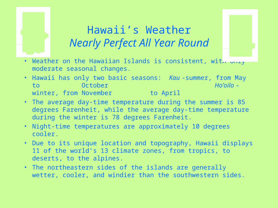
• Weather on the Hawaiian Islands is consistent, with only moderate seasonal changes.
• Hawaii has only two basic seasons: Kau -summer, from May to October
Ho’oilo - winter, from November to April
• The average day-time temperature during the summer is 85 degrees Farenheit, while the average day-time temperature during the winter is 78 degrees Farenheit.
• Night-time temperatures are approximately 10 degrees cooler.
• Due to its unique location and topography, Hawaii displays 11 of the world’s 13 climate zones, from tropics, to deserts, to the alpines.
• The northeastern sides of the islands are generally wetter, cooler, and windier than the southwestern sides.
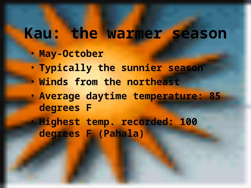
Kau: the warmer season• May-October• Typically the sunnier season• Winds from the northeast• Average daytime temperature: 85 degrees F• Highest temp. recorded: 100 degrees F (Pahala)
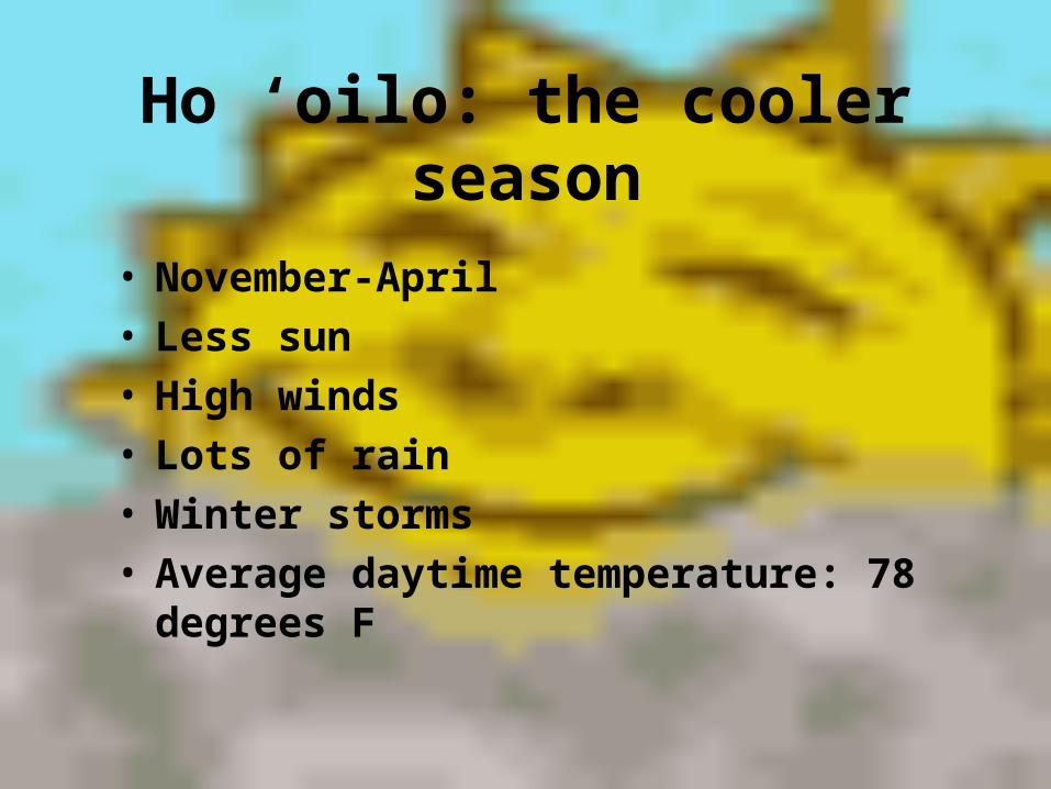
Ho ‘oilo: the cooler season
• November-April• Less sun• High winds• Lots of rain• Winter storms• Average daytime temperature: 78 degrees F

Rain• The ocean surrounding Hawaii receives 25-35
inches of rain annually. Different parts of the island can receive as much as 15 times that and as little as one third of that.
• Rain caused by Orographic effect, Kona storms, tropical cyclones, air convection, frontal passages.
• Hilo: wettest city in the US. Receives 134” rain annually, and has about 30 clear days per year.

Orographic effect
For most of the year (all summer and half of winter) Hawaii’s weather
patterns are primarily effected by the cool, moist trade winds from the north. The winds are forced up-slope by the mountains along the coast. As the air quickly rises, the moisture condenses into clouds that produce rain. Most of the rain falls on the mountains and valleys on the windward (NE) side of the island, which is much wetter than the leeward side, especially around 3000 feet.

Kona storms
• Kona: Polynesian word meaning “southward” or “leeward”, which is the direction from which these storms originate.
• Several times during the year, the trade winds stop completely and winds start coming out of the south or west, bringing hot, sticky, stormy weather.
• These storms occur mostly in the winter and are often severe.

Climate Diversity
• Topographic relief• Large scale synoptic wind fields • Local Circulation• You pass through 10 different climate zones as
you ascend from the coast of the big island to the summit of Mauna Kea (13,792 ft)
• Hawaii has 11 of the world’s 13 climate zones.
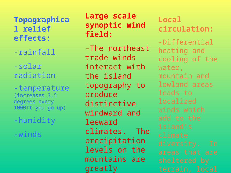
Topographical relief effects:
-rainfall
-solar radiation
-temperature (increases 3.5 degrees every 1000ft you go up)
-humidity
-winds
Large scale synoptic wind field:
-The northeast trade winds interact with the island topography to produce distinctive windward and leeward climates. The precipitation levels on the mountains are greatly influenced by the upper level trade winds.
Local circulation:
-Differential heating and cooling of the water, mountain and lowland areas leads to localized winds which add to the island’s climate diversity. In areas that are sheltered by terrain, local air movements are significantly different from winds in exposed locations.

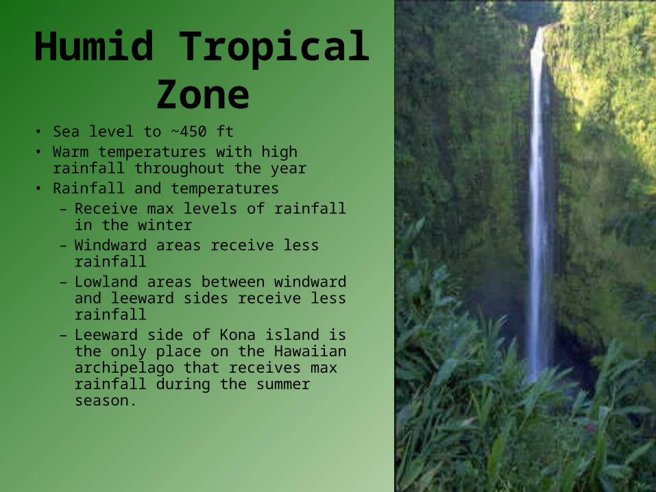
Humid Tropical Zone
• Sea level to ~450 ft• Warm temperatures with high rainfall
throughout the year• Rainfall and temperatures
– Receive max levels of rainfall in the winter
– Windward areas receive less rainfall– Lowland areas between windward
and leeward sides receive less rainfall– Leeward side of Kona island is the
only place on the Hawaiian archipelago that receives max rainfall during the summer season.

Arid and Semi-arid zones
• Hot and dry• Annual rainfall 190mm• Leeward sides of the Kohala mountains
are the hottest areas in the Hawaiian archipelago
• These mountains are incapable of blocking out the trade wind flow to leeward– this area is the hottest in the Hawaiian archipelago.

Temperate Zone
• Located above altitudes of 400-500meters• Warm summers with about equal amounts of
precipitation each month.• Fog produced by upper air temperature inversion
(~5000ft) and by clouds that are compressed between the mountains.
• Most rain occurs below the temperature inversion. • At altitudes above 2000 meters, summers may have
droughts. (ie. On Mauna Kea and Mauna Loa)

Alpine Zone
• Above 3200 meters, especially on Mauna Loa and Mauna Kea.
• Average annual temperature ~10 degrees Celsius
• Overnight freezing throughout the year.
• Minimal rainfall, snowfall during winter accounts for largest portion of seasonal precipitation.
• Temperature in higher locations drops 3.5 degrees for every 1000 feet above sea level.
Alpine Zone

How Climate effects the Hawaiian People

Religion• Kane: god of the atmosphere• Kanaloa: god of the ocean• Lono: god of the wind and rain• When crops ripened, farmers
built fires and offered food to
these gods.
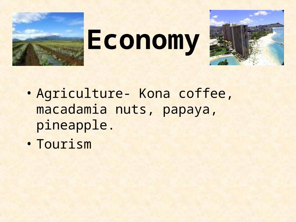
• Agriculture- Kona coffee, macadamia nuts, papaya, pineapple.
• Tourism
Economy
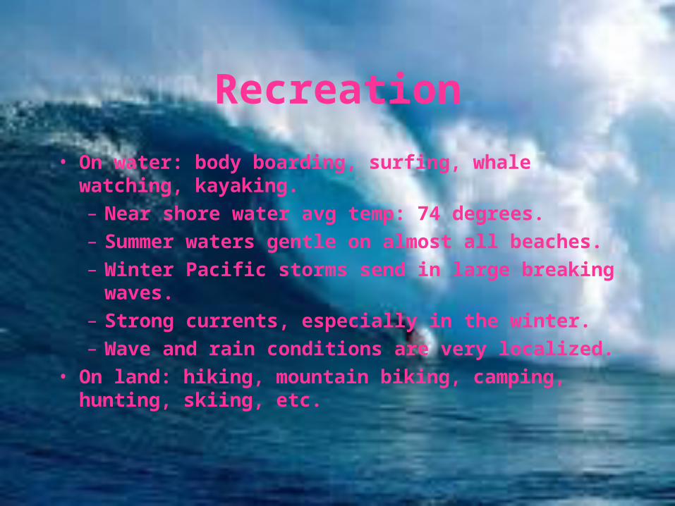
Recreation
• On water: body boarding, surfing, whale watching, kayaking.
– Near shore water avg temp: 74 degrees.
– Summer waters gentle on almost all beaches.
– Winter Pacific storms send in large breaking waves.
– Strong currents, especially in the winter.
– Wave and rain conditions are very localized.
• On land: hiking, mountain biking, camping, hunting, skiing, etc.

THIS CONCLUDES OUR PRESENTATION
THANK YOU!