technologies!for!surveillance!and! - iddri
TRANSCRIPT


Sandra Brooke PhD Coastal and Marine Laboratory
Florida State University
Technologies for Surveillance and Enforcement in Marine Areas
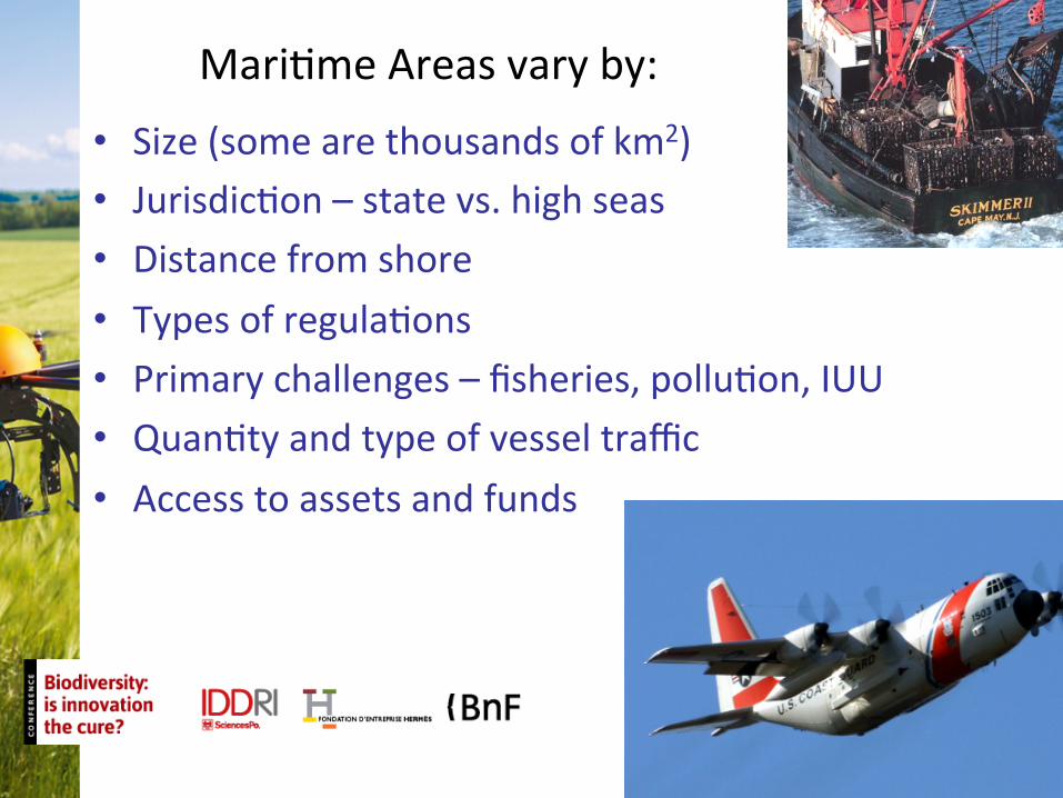
• Size (some are thousands of km2) • JurisdicGon – state vs. high seas • Distance from shore • Types of regulaGons • Primary challenges – fisheries, polluGon, IUU • QuanGty and type of vessel traffic • Access to assets and funds
MariGme Areas vary by:

Surveillance approaches
• CooperaGve vs. non cooperaGve • Classified vs. civilian • Ground, sea, air or space-‐based • ConGnuous vs. periodic • Manned vs. unmanned
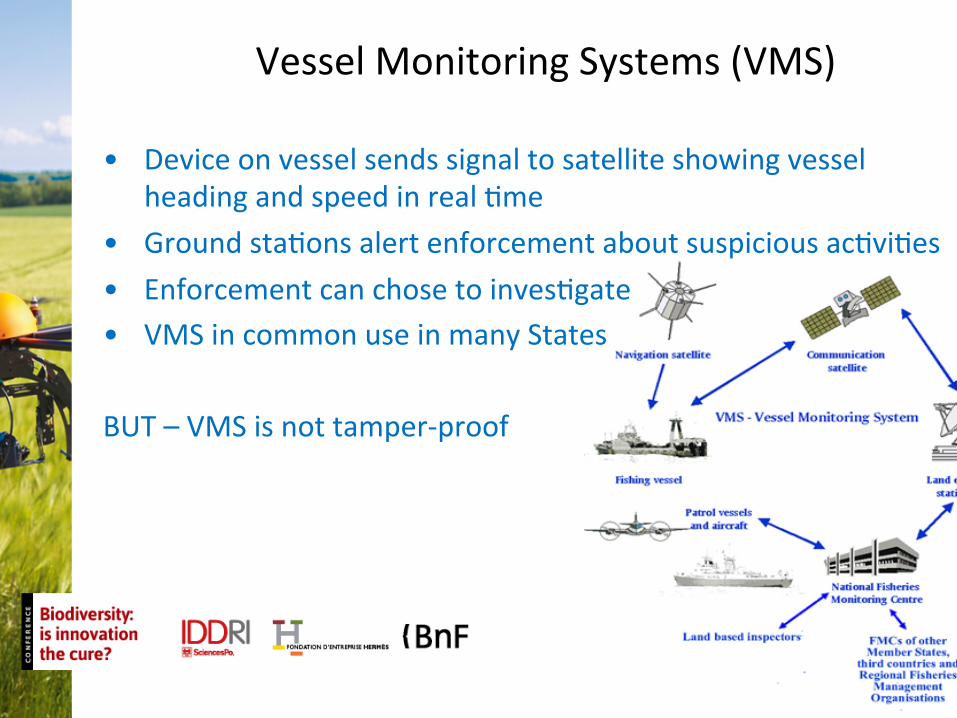
Vessel Monitoring Systems (VMS)
• Device on vessel sends signal to satellite showing vessel heading and speed in real Gme
• Ground staGons alert enforcement about suspicious acGviGes • Enforcement can chose to invesGgate • VMS in common use in many States
BUT – VMS is not tamper-‐proof

Electronic Monitoring Systems (EMS)
• Video cameras on board monitor fishing acGviGes, catch handling • Sensors may also be placed on winches etc. • Video analysis is labor intensive and ‘aWer the fact’ • Less expensive than observers • Can be tampered with Technology used in BC longline and crab fisheries, in NZ to monitor cetacean interacGons and pilot projects underway elsewhere

AutomaGc IdenGficaGon Systems (AIS) • Uses shipboard VHF broadcasGng system • Designed for vessel tracking and idenGficaGon, but addiGonal channels for other data streams • Not generally used for fisheries monitoring Why? • IMO rule: only vessels >300 GT are required to carry class A AIS • Land or sea-‐based systems have limited range (20-‐100 nm)
But • There is potenGal for expansion of AIS for mariGme surveillance • Space-‐based AIS expands coverage capabiliGes

Non CooperaGve surveillance
Plaforms • Space-‐based – satellites
• AircraW – manned and unmanned • Vessels -‐ manned and unmanned
• Land or buoy-‐based Sensors
• Visual imaging systems • Radar systems
• AcousGcs Surveillance systems use a combinaGon of plaforms and sensors to
fulfill specific requirements

Satellite-‐based surveillance
Types of sensors Visual imaging OpGcal and IR cameras Radar SyntheGc aperture radar Space-‐based AIS
Satellite technologies capture informaGon from a target on earth and relay data back to a control centre
Advantages: Large scale, high resoluGon images Disadvantages: Surveillance not conGnuous, images are expensive and some systems are sensiGve to weather and light

Manned aircraW Surveillance of remote or large marine areas requires long range aircraW
Expensive to purchase, maintain and operate -‐ cost sharing between agencies can offset costs
Canada and UK use commercial contractor on per mission basis.
AircraW can be equipped with a great variety of sensors including radar, SAR, visual and/or IR cameras, and more specialized sensors for pollutants

Unmanned Aerial Vehicles (UAVs)
MQ-‐9 used by US and BriGsh armed forces
US Navy MQ-‐8B fire scout rotorcraW
US Coast Guard Bell Eagle
Payloads can include visual and/or IR cameras, biological or chemical sensors, and radar
UAVs can fly extended missions (8 to >48 hours) Most are currently operated by military
Problem with operaGng UAVs in naGonal airspace

Manned Patrol Vessels Most common approach to mariGme surveillance and enforcement • Range of vessels limited to line of sight,
even with radar • Coverage of large areas not pracGcal or
cost effecGve
Use other technologies for broader survei l lance and manned vessels for interdicGon

Land or buoy based plaforms Airships, aerostats and helikites Can be deployed from land, ships or vehicles Can be tethered or untethered, very small or very large Used for visual sensors and transceivers, including AIS Moorings and buoys Seabed underwater mooring systems Buoys with acousGc packages Some systems can relay data in near real-‐Gme Cannot idenGfy individual vessels, but may idenGfy acGvity
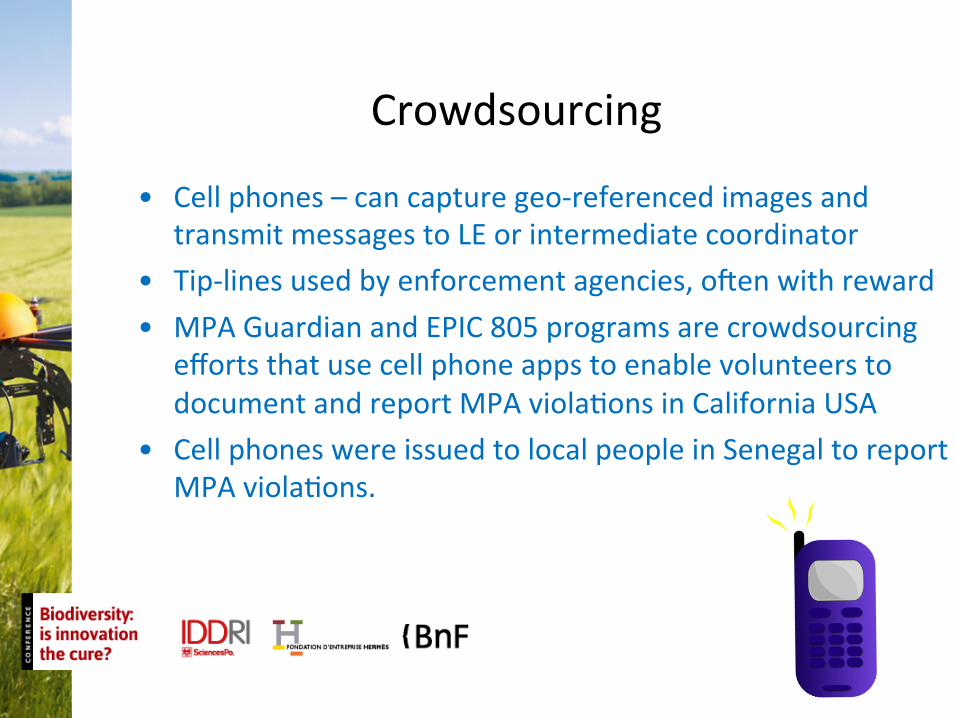
Crowdsourcing
• Cell phones – can capture geo-‐referenced images and transmit messages to LE or intermediate coordinator
• Tip-‐lines used by enforcement agencies, oWen with reward • MPA Guardian and EPIC 805 programs are crowdsourcing
efforts that use cell phone apps to enable volunteers to document and report MPA violaGons in California USA
• Cell phones were issued to local people in Senegal to report MPA violaGons.

Most surveillance systems consist of mulGple data sources Examples: Satellite SAR, VMS and AIS Airborne visual imagery, VMS, acousGc data Data streams have to be integrated into a usable and visually intuiGve format for use by LE personnel.
Data Fusion

The following document contains more details on surveillance technologies: Brooke SD, Lim TY, and Ardron JA (2010) Surveillance and enforcement of remote mariGme areas. Paper 1: surveillance technical opGons. Marine ConservaGon Biology InsGtute, USA. 37 Pages.
hrp://www.marine-‐conservaGon.org/news/publicaGons/
Funding for this work was provided by United Nations Environment Program (UNEP) US National Oceanic and Atmospheric Administration (NOAA)