tactical aerostat - home - nadatsnadats.com/wp-content/uploads/2015/08/1nv_tacticalaerostat.pdf ·...
TRANSCRIPT
DIVISION OF AEROS
TACTICAL AEROSTAT
1734 AEROS WAYMONTEBELLO, CA 90640UNITED STATES OF AMERICA PH: +1 (818) 344-3999E: [email protected]
AEROSTAT SPECIFICATIONSLength 10.3 m
Operational Altitude 305 mMission Duration 14+ days
Payload 10 kg
Operating Wind at 305 m 45 knots
Line of Sight at 305 m 39 nm
NADATS TACTICAL AEROSTAT
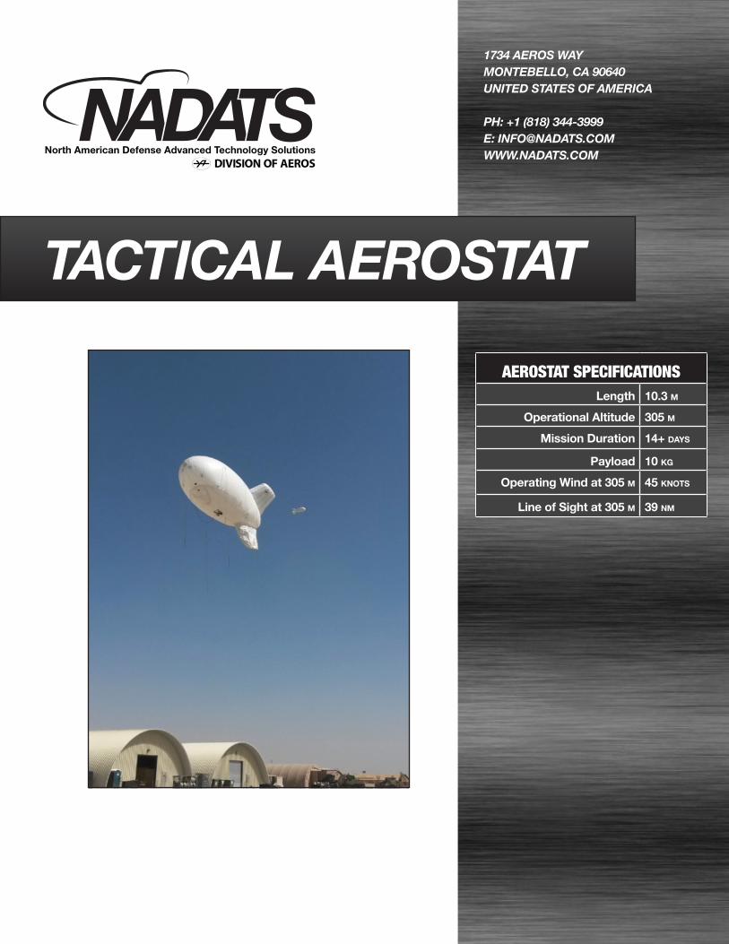
A flexible and persistent tactical ISR platform, NADATS Tacti-cal Aerostat (TA) provides convenient situational awareness with cost-effective vigilance. The Tactical Aerostat is a tethered platform that can support a variety of payloads aloft to 1,000 ft, 39 nm line of sight, including multi-spectral imaging systems, communications relays or other equipment desired for surveil-lance, security, environmental monitoring and related missions. It is a flexible system for military operators, law enforcement, border and harbor security, event safety, facility monitoring, and geospatial imaging.
OPERATIONAL MISSION BENEFITS:
• Increasecostefficiencyinvariedmissionsandenviron-ments
•• Obtainreal-timehigh-resimageryforthreatdetectionearlywarning
• Providesituationalawarenesstogroundorairsupport•• Expandcommunicationcapabilitiesformissionsoragencycoordination
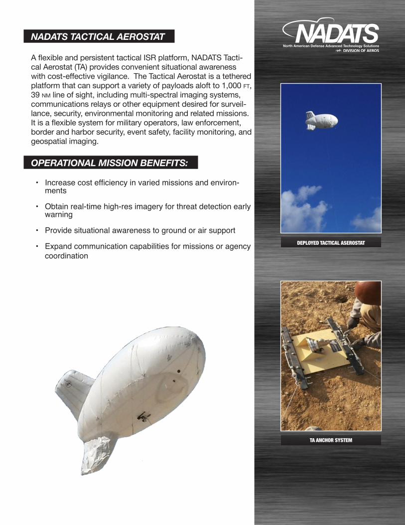
DEPLOYED TACTICAL ASEROSTAT
TA ANCHOR SYSTEM
DIVISION OF AEROS
PAYLOAD OPTIONS:
FOR SALES INQUIRIES [email protected]
+1 (818) 344-3999
DIVISION OF AEROS
CAPABILITIES:
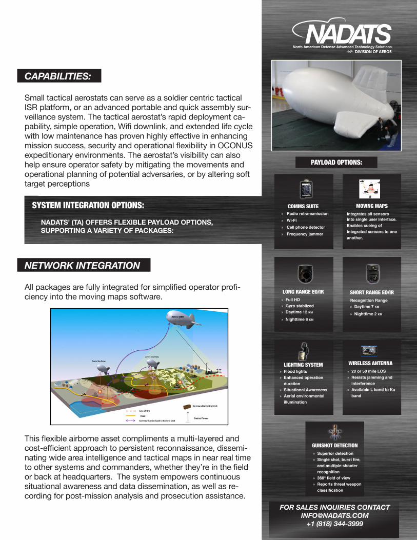
Small tactical aerostats can serve as a soldier centric tactical ISR platform, or an advanced portable and quick assembly sur-veillance system. The tactical aerostat’s rapid deployment ca-pability, simple operation, Wifi downlink, and extended life cycle with low maintenance has proven highly effective in enhancing mission success, security and operational flexibility in OCONUS expeditionary environments. The aerostat’s visibility can also help ensure operator safety by mitigating the movements and operational planning of potential adversaries, or by altering soft target perceptions
SYSTEM INTEGRATION OPTIONS:
NADATS’ (TA) OFFERS FLEXIBLE PAYLOAD OPTIONS, SUPPORTING A VARIETY OF PACKAGES:
NETWORK INTEGRATION
All packages are fully integrated for simplified operator profi-ciency into the moving maps software.
This flexible airborne asset compliments a multi-layered and cost-efficient approach to persistent reconnaissance, dissemi-nating wide area intelligence and tactical maps in near real time to other systems and commanders, whether they’re in the field or back at headquarters. The system empowers continuous situational awareness and data dissemination, as well as re-cording for post-mission analysis and prosecution assistance.
LONG RANGE EO/IR » Full HD » Gyro stablized » Daytime 12 km
» Nighttime 8 km
SHORT RANGE EO/IRRecognition Range » Daytime 7 km
» Nighttime 2 km
WIRELESS ANTENNA » 20 or 50 mile LOS » Resists jamming and
interference » Available L band to Ka
band
GUNSHOT DETECTION » Superior detection » Single shot, burst fire,
and multiple shooter recognition
» 360° field of view » Reports threat weapon
classification
LIGHTING SYSTEM » Flood lights » Enhanced operation
duration » Situational Awareness » Aerial environmental
illumination
COMMS SUITE » Radio retransmission » Wi-Fi » Cell phone detector » Frequency jammer
MOVING MAPSIntegrates all sensors into single user interface. Enables cueing of integrated sensors to one another.