surveyors: gis’s new bff - geoalberta 2018 do gisers want? • pipeliners want their gis to answer...
TRANSCRIPT

Surveyors: GIS’s new BFF Tara J Seitz, BAppGIS

AGENDA • What do GISers want?
• What do surveyors do?
• Why should GIS get friendly with surveyors?
• Questions
2/15

Perspective
3/15

What do GISers want? • Pipeliners want their GIS to answer the ‘where’
questions - Where can I route my pipeline? - Where are the land owners/nearest structures? - Where are the environmental concerns? - Where do I travel to access the facilities? - Where are my crossings? - Where does my ILI match the pipeline? - Where could a leak happen?
4/15

What do surveyors do? • Surveyors collect field data
5/15

Roads and Highways Bar Ditches
Median
What do surveyors do? • Surveyors collect lots of field data
6/15

What do surveyors do? • Surveyors collect field data
7/15

What do surveyors do?
• The data is processed
8/15

What do surveyors do?
• Accuracy is sub-decimetre
• “GROUND TRUTHING”
9/15

Why fortify the relationship between the surveyor(s)/company & GIS:
- Where can I route my pipeline? Best route selection (price, distance, risk)
- Where are the land owners/nearest structures? Contract arrangements with land owners, Class location, Stakeholder Relations Management, MAR assessment - Where are the environmental concerns? Leak mapping & containment planning
10/15

Why fortify the relationship between the surveyor(s)/company & GIS:
- Where do I travel to access the facilities? Access Road Maps, Equipment and Maintenance permissions - Where are my crossings? Planning, Engineering & Inspection - Where does my ILI match the pipeline? Finding patterns for prediction models; Dig program
11/15
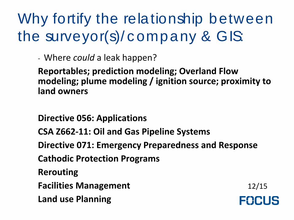
Why fortify the relationship between the surveyor(s)/company & GIS:
- Where could a leak happen? Reportables; prediction modeling; Overland Flow modeling; plume modeling / ignition source; proximity to land owners Directive 056: Applications CSA Z662-11: Oil and Gas Pipeline Systems Directive 071: Emergency Preparedness and Response Cathodic Protection Programs Rerouting Facilities Management Land use Planning
12/15

GIS get friendly with surveyors? • Surveyors are collecting
subdecimetre-accurate,
Digital (x,y,z,m,l),
post processed into CAD/GIS format
data; that is ready to use for pipeline routing, AER applications, construction, operations, maintenance, and, risk.
13/15

INVITATION to start the conversation • Bring GIS to the planning table
• Ask what GIS needs? - What database standard? - What data deliverable format?
• Ask what are the data need of the current projects?
• IT?! - “What does the data look like?”
• New vendor?! - “client will provide the data”
14/15
