subdivision regulations - american planning … regulations fundamentals ... based on a guide to...
TRANSCRIPT
1
Subdivision Regulations Fundamentals
Prepared by
Ann C. Bagley, FAICP
Planning Official Development Officer, TXAPA
and
Kimberley Mickelson, JD, AICP
TXAPA Annual Conference
Galveston, October 2013
Based on A Guide to Urban Planning in Texas Communities published by the Texas Chapter of American Planning Association

2
Enabling Legislation
Texas Local Government Code
Chapter 213 – Municipal Comprehensive Plans
Chapter 212 – Municipal Regulation of Subdivisions
Chapter 211 – Municipal Zoning Authority
3
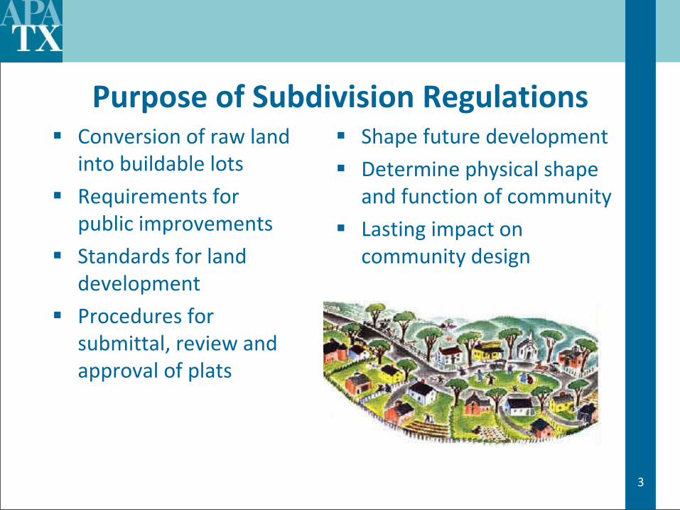
Purpose of Subdivision Regulations Conversion of raw land
into buildable lots
Requirements for public improvements
Standards for land development
Procedures for submittal, review and approval of plats
Shape future development
Determine physical shape and function of community
Lasting impact on community design

4
Relationship to Comprehensive Plan An important tool for
comprehensive plan implementation
Comprehensive plan provides legal and practical basis for subdivision regulations
Consistency with plan avoids arbitrary or discriminatory regulations
Plan coordinates subdivision layout with other community development

5
Purposes Served
Creates a legal description
Convenient and accurate plat recordation
Orderly community development
Adequate roads, utilities, drainage, open space, park and school sites
External protection and conservation for surrounding areas
Adequacy/capacity of public facilities
6
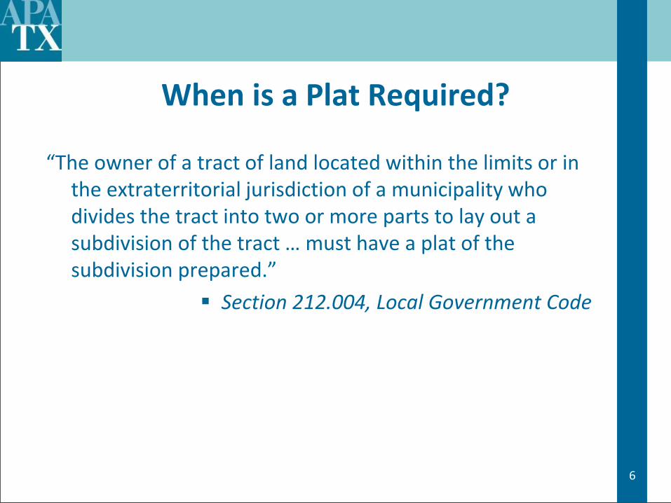
When is a Plat Required?
“The owner of a tract of land located within the limits or in the extraterritorial jurisdiction of a municipality who divides the tract into two or more parts to lay out a subdivision of the tract … must have a plat of the subdivision prepared.”
Section 212.004, Local Government Code

7
Types of Plats
Preliminary Plat (actually not required by statute)
Final Plat
Minor Plat (4 or less lots)
Replat (Non-residential)
Replat (Residential)
Amending Plats
Vacating Plat
Administrative Plat

8
Approval Process
Submittal
Technical Review
Review by Authority

9
Approval Process - Submittal
Pre-submittal Conference (recommended)
Submittal Requirements - Statutory
Metes and bounds description
Land survey locating the subdivision
Dimensions of lots, streets, easements, public/common use areas
Acknowledgement of the owner
City may specify more requirements

10
Subdivision Plat Review Committee
City Departments Engineering, City Services, Police, Fire,
Economic Development, GIS, etc.
Utility Companies
Committee meets to examine all code issues prior to consideration by approving authority
Approval Process - Technical Review

11
Approval Process: Review by Authority
Approving authority is the City Council
May delegate approval to Planning Commission
May allow staff administrative approval of certain minor plats, replats, amending plats
Must act on a plat within 30 days after it is filed, otherwise plat is considered approved
Note that the term “considered filed” needs to be defined specifically– is it when the plat is submitted? Fees paid? Deemed complete?
12
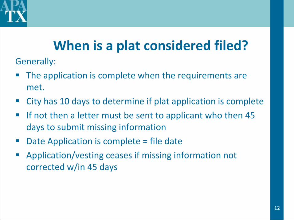
When is a plat considered filed? Generally:
The application is complete when the requirements are met.
City has 10 days to determine if plat application is complete
If not then a letter must be sent to applicant who then 45 days to submit missing information
Date Application is complete = file date
Application/vesting ceases if missing information not corrected w/in 45 days

13
Standards for Approval
Must approve plat if it conforms to:
The general plan of municipality;
The general plan for the extension of infrastructure;
The requirement to file a bond (if required);
All other technical requirements
Limited flexibility in plat approval
14
Replatting Like a plat, the City must approve a replat that meets all
ordinance requirements and Residential replats require a public hearing with Notice in newspaper & mailed to owners w/in original
subdivision & w/in 200 ft (depends on your regs) Notices generally at least 15 days prior to hearing except if owners of 20% of land area notified protest in
writing, then requires ¾ vote of the approving body to approve replat

15
Typical Components of a Subdivision Ordinance
Plat Approval Procedures
General layout of the Document
Minimum Design Standards
Conformance with zoning district regulations
Required Public Improvements/Funding
Dedication Requirements (or Fee in Lieu of Dedication)
Right-of-way /Easement Requirements
Plat Review Procedures and Fees
Consistency with Comprehensive Plan
Related Technical Documents
16
Subdivision Ordinance Related Technical Documents
Subdivision Ordinance specifically should refer to and requires
compliance
Design Standards for Construction
Tables of design standards
Typical drawings of construction
Drainage Manual
Application, forms, fee schedule
17
“Vesting” Statute - Plats
Actually a “right to complete” statute
Triggered by utility, permit or plat application (sometimes even concept plan)
Have 2 years from permit date and 5 years once project is started
If “no progress” then an expiration date is critical
Court cases held documents w/o expiration date may still be vested
Ordinance should have automatic expiration date

18
Development Exactions
Rough Proportionality Requirement
Codifies Nollon/Dolan and Flower Mound Cases
If city requires developer to pay portion of
infrastructure costs as condition of plat approval,
developer’s portion of cost must be “roughly
proportionate” or consistent with only the impact of
proposed development
As estimated by city’s engineer

19
Components of a Plat
Title Block
Proposed name of subdivision including phase, addition, or section
Legal description of property
Total acreage
Number of lots, blocks and reserves
Person or firm who prepared the plat, address
Owner’s name and address
Date that the plat was prepared
Zoning District
Purpose of replat, if applicable

20
Plat Drawing
Drawing orientation with north to the top of the drawing (or right if long and narrow)
North arrow
Scale (1”=100’) numerical and graphic scale (or appropriate scale)
Vicinity map in upper right corner showing the subdivision’s relationship with adjacent well known streets, railroads, water courses, etc., oriented with north to the top of the drawing and in the same direction as the detailed subdivision drawing

21
Drawing continued
Plat boundary in heavy lines with measured bearings and distances tied to survey corners or intersections
abstract lines
survey lines
corporate boundaries, district boundaries
existing or proposed highways and streets
Location of existing buildings (buildings outlines to be removed prior to final plat submittal
Locations of recorded easements - dashed line with recording information
Proposed new easements - dashed line
Lines outside plat boundary should be dashed

22
Drawing continued
location and size of all watercourses
100-year flood plain according to Federal Emergency Management Agency (FEMA) information
name and location of all adjoining subdivisions, unplatted land and property owners,
existing or proposed streets,
alleys,
railroads, easements, and
features that may influence the layout of development within 200 feet of the boundary
All zoning designations of the site and within 200 feet of the site, if applicable shall be clearly noted and complied with accordingly
23
Drawing continued
Sites, if any to be reserved or dedicated for parks, playgrounds, schools,
churches, or other public or semi-public uses
Minimum building lines for plats shown either graphically or by note. All
front building lines shall be shown graphically
Centerline radius, existing and future right-of-way widths, and conformance
to approved traffic affect analysis for all streets
All proposed public utility easements shall be included as required for utility
companies or the City
Contours at one foot intervals
Reference to U.S.C. &G.S. data
Spot elevations if applicable

24
Lots Block(s) number within boundary of plat
Lot number(s) on each lot Sequential
Lot width and depth per zoning district
Lot width on radial lots
Reserve, tracts or parcel(s) identified by letter Sequential
Lots and reserves with measured bearings and distances (final)

25
Streets
Check Major Street Plan for major thoroughfare and major collector. Alignments, dedications and future widenings.
Check existing street ROW widths
Check cul-de-sac radius - 50’ R residential, 60’R commercial
Check intersections spacing (block length) between streets. Check minimum spacing of intersections along a major thoroughfare
When widening is required make sure that the dedication is measured with bearings and distances and square footage is provided. Include dedication to public statement on plat.
26
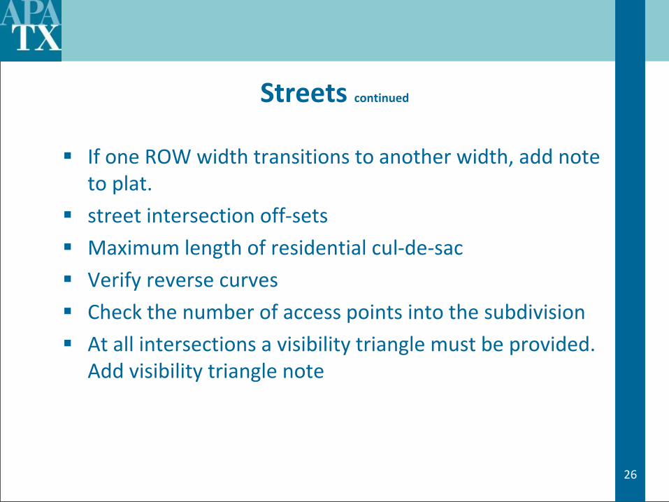
Streets continued
If one ROW width transitions to another width, add note to plat.
street intersection off-sets
Maximum length of residential cul-de-sac
Verify reverse curves
Check the number of access points into the subdivision
At all intersections a visibility triangle must be provided. Add visibility triangle note

27
Street Names
Check street name for duplication and similarity
Check 911 list
Street names must end in suffix (Drive, Road, Lane, Street, Boulevard, etc.)
Check for street name breaks where street names change

28
Utility and Access Easements
Public utility easements shall conform to design manual
Other easements should the design requirements of the design manual
Fire Hydrants
All hydrants are within 600’ of each other. Do you know why?
All building meet 200’ hose lay from private street edge per design standards and Fire Department criteria
Even More….

29
Contact Letters
Water Districts
County
School Board
Utility Companies
Post Office
30
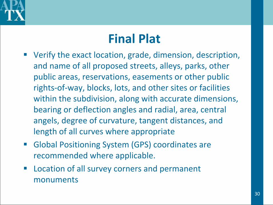
Final Plat Verify the exact location, grade, dimension, description,
and name of all proposed streets, alleys, parks, other public areas, reservations, easements or other public rights-of-way, blocks, lots, and other sites or facilities within the subdivision, along with accurate dimensions, bearing or deflection angles and radial, area, central angels, degree of curvature, tangent distances, and length of all curves where appropriate
Global Positioning System (GPS) coordinates are recommended where applicable.
Location of all survey corners and permanent monuments

31
Final Plat continued
Certification, dedication and acknowledgement blocks of the owner, engineer, surveyor, Planning Commission Chair and Mayor, lien holder, fully signed, executed and appropriately sealed
A title page if the information is too large for a single sheet
General Plat Notes as appropriate
Corporations require two signatures, Limited Partnerships or Joint Ventures one
Owner’s signatures and lien holders notarized

32
At Last!
Digital file
Tax Certificates
HOA/Deed Restrictions
Fees
As-Builts Constructions
33
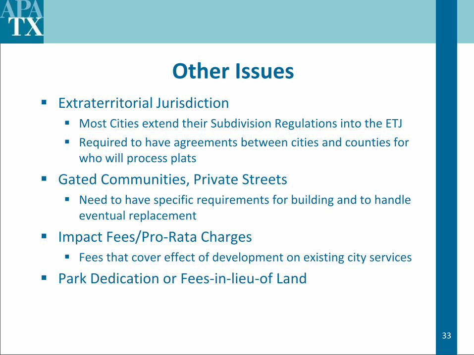
Other Issues Extraterritorial Jurisdiction
Most Cities extend their Subdivision Regulations into the ETJ
Required to have agreements between cities and counties for who will process plats
Gated Communities, Private Streets Need to have specific requirements for building and to handle
eventual replacement
Impact Fees/Pro-Rata Charges Fees that cover effect of development on existing city services
Park Dedication or Fees-in-lieu-of Land

34
Thank you! Questions and Discussion?