stratigraphy the study of strata (layers) of rocks with an eye toward interpreting the geologic...
TRANSCRIPT

Stratigraphy• The study of strata (layers) of rocks with an eye
toward interpreting the geologic history of the region
• Closely tied to dating methods
• Uses a variety of methods - fossils, stable isotopes, paleomagnetics, sedimentary cycles - to correlate and distinguish layers
• Very important for oil exploration and mining
1
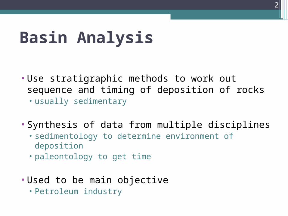
Basin Analysis
•Use stratigraphic methods to work out sequence and timing of deposition of rocks• usually sedimentary
•Synthesis of data from multiple disciplines• sedimentology to determine environment of deposition• paleontology to get time
•Used to be main objective• Petroleum industry
2

CorrelationCorrelation
Correlation is determining that rocks are the same formation (may mean rocks are the same age)
3

CHRONOSTRATIGRAPHY
Geochronological units
4

5

LITHOFACIES
6

Stratigraphic Contacts
•Contacts• Plane or irregular surfaces between different types
of rocks• Separate units
•Conformable•Unconformable
7

Types of Contacts
• Conformable boundaries• Conformable strata form unbroken depositional sequences • Layers are deposited by ~ uninterrupted deposition
• Abrupt or gradational• Abrupt• Sudden distinctive changes in lithology • Often, local change
• Gradational Gradual change in depositional conditions with time progressive
gradual contact One lithology grades into another
e.g., ss becomes finer upsection until it becomes a siltstone
8

Lithostratigraphic units
•Supergroup•Group•Formation – a mapable unit with distinctive lithic
characteristics•Member•Bed
9
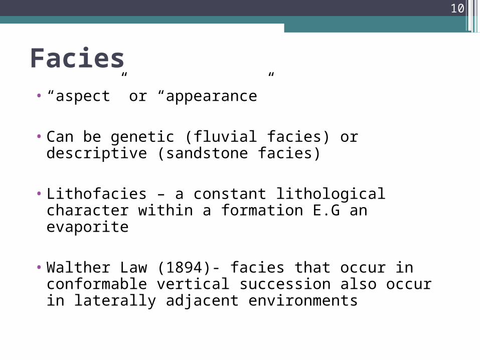
Facies• “aspect” or “appearance”
• Can be genetic (fluvial facies) or descriptive (sandstone facies)
• Lithofacies – a constant lithological character within a formation E.G an evaporite
• Walther Law (1894)- facies that occur in conformable vertical succession also occur in laterally adjacent environments
10
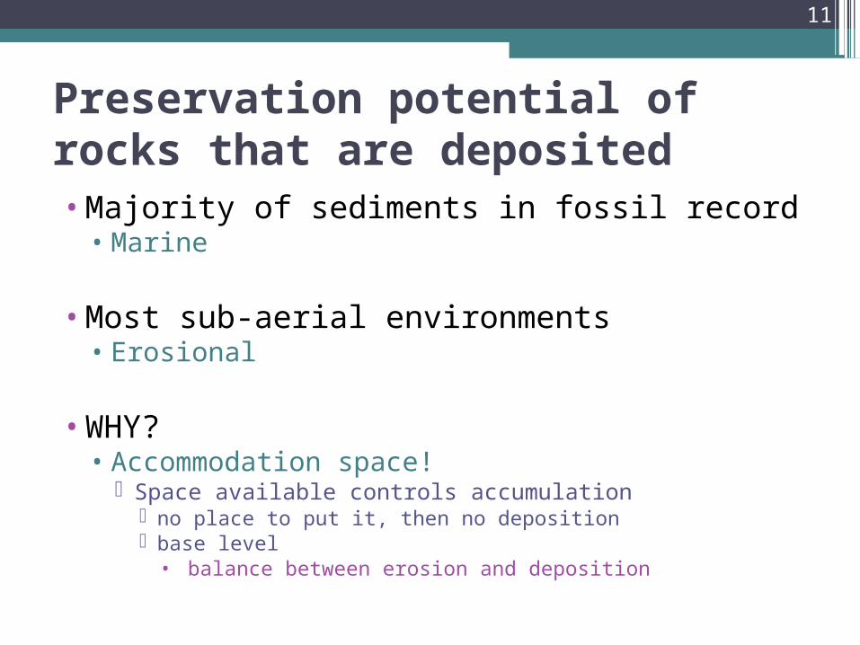
Preservation potential of rocks that are deposited•Majority of sediments in fossil record • Marine
•Most sub-aerial environments • Erosional
•WHY?• Accommodation space!
Space available controls accumulation no place to put it, then no deposition base level• balance between erosion and deposition
11

Walther’s Law of Correlation of Facies
•Relationship between vertical and lateral variations • The fact that there is lateral variation in facies leads
to vertical variation in facies Walther’s Law of Correlation of Facies
•Lateral variations are expressed in the vertical due to the succession of facies
12

Walther's Law of Correlation of Facies
• “Only those lithofacies which are a product of sedimentary environments found adjacent to one another in the modern can be occur superimposed in continuous, uninterrupted stratigraphic succession.”
13

Walther’s Law: Transgression-Regression
• Transgression Landward movement of shoreline (progessive deepening)
Stand on beach Over time, you would be under water as shoreline moved landward
• Regression Seaward movement of shoreline
(progessive shallowing)
• Results in lateral and vertical changes
14

Transgression •Geometric relationship of "graded, shore parallel
facies belts“• Fining Upwards Sequence: FUS• More basin-ward facies overlie more landward facies
Compared to depositional systems models
15

Transgression and Regression
•Shallowing upwards, shoreline moves basinward through time--> Regression
• Sea level drop +/- uplift +/- sediment supply Progradation
excess sediment supply relative to accommodation space
Forced Regression• Relative sea level drop and formation of erosion surfaces: Unconformity
(surface of subaerial exposure)• Soils; kaolinitized, clay-rich layers• Angular discordance with underlying units (disconformity)• Plant remains, rooted zones• Non-genetic stratal relationships: basinward shift in sedimentary facies• Strata across lithologic boundaries NOT in accordance with Walther’s
law
16

Regression•Geometric relationship of "graded, shore parallel
facies belts“• Coarsening Upwards Sequence: CUS• More landward facies overlie more basin-ward facies
Compared to depositional systems models
17

Transgression - Regression
•What drives transgression/ regression?• can’t tell from this information! • sea level change has so many components• relative = local• eustatic = global• sediment supply • can drive a regression/ transgression
• ONLY KNOW that shoreline has shifted position• multiple factors responsible for sea- level change
• Say sea level rise or fall and you are WRONG!• Say transgression or regression!
18
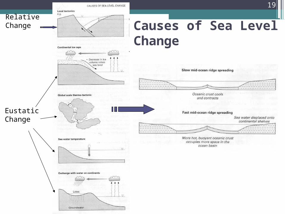
Causes of Sea Level Change
Relative Change
Eustatic Change
19

Sea Level Cycles• 1st Order Cycles• 100’s my• 100’s of meters
• 2nd Order Cycles• 10’s my• 100’s of meters
• 3rd Order Cycles• 1-10 my• 10’s of meters
Falling
Rising
20
Biostratigraphy
If two rocks contain the same fossils they must be the same age
21

Evolution• Variations exist within a population
• Result from mutations and other genetic accidents
• Some variations are advantageous but others are not
• Some are neutral
• Natural Selection works on these variations
• Characteristics of population shift through time = evolution
22
Bio-Events
•First appearances of new species
•First appearances of new higher taxa
•Extinctions of species
•Mass extinctions of multiple taxa
•Bio-events are unique points in geologic time
23
Index Fossils
•Some fossils are more useful than others for relative age determinations
•Fossils that are most useful are called INDEX FOSSILS
•What factors would maximize a fossil’s usefulness? (i.e., What makes a good index fossil?)
24

Illustration of Principle of Faunal Succession
25
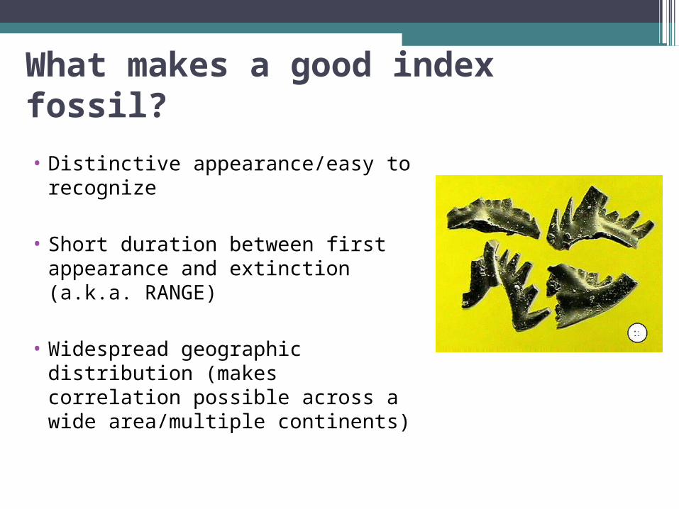
What makes a good index fossil?
• Distinctive appearance/easy to recognize
• Short duration between first appearance and extinction (a.k.a. RANGE)
• Widespread geographic distribution (makes correlation possible across a wide area/multiple continents)
26

Characteristics of Index Fossils
•Limited Stratigraphic Range
•Widespread Geographic Distribution
•Commonly Pelagic
•Or tolerant of a wide variety of environments (found in many facies)
27

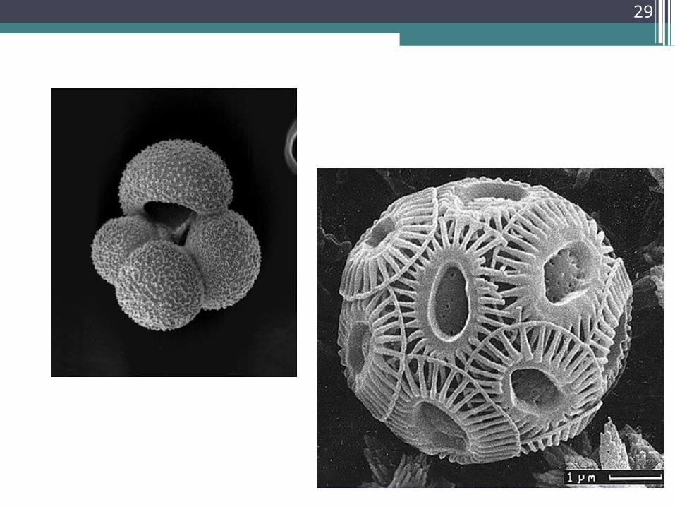
28
29

UnconformitiesUnconformities are surfaces in rock that represent
periods of erosion or non-deposition. In other words, time has been left out of the physical geologic rock record.
There are three (3) principal types of unconformities:
• Angular UnconformityRocks above and below unconformity have different orientations. Shows that there was a period of deformation, followed by erosion, and then renewed deposition. Easiest of the three types to recognize because the units are at an angle truncated with the units above them.
30

• Nonconformity
Rocks in a horizontal fashion were eroded down to igneous bedrock material at which time subsequent deposition of sedimentary layers commenced. Shows that there was a period of deformation, followed by erosion, and then renewed deposition. Represents the greatest amount of time left out of the geologic rock record.
• Disconformity
Rocks in a nearly horizontal fashion were eroded and an erosional profile remains covered by subsequent sedimentary deposition. Shows that there was a period of erosion and then renewed deposition in nearly horizontal layers. Most difficult to recognize because the units are nearly horizontal and only a small discontinuous layer can be observed (rubble zone or soil profile).
31

Angular
Unconformity
32

Disconformity
33
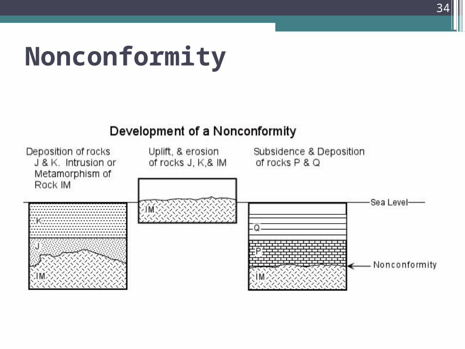
Nonconformity
34

Unconformity Types Using Grand Canyon as Example
35

Stratigraphic Thinking
From D. McConnell, Geologic Time,
http://lists.uakron.edu/geology/natscigeo/Lectures/time/gtime1.htm
36

One possible interpretation...
37

38

Look Bob – a shooting star! Lets make a wish….
39

40

Were The Dinosaurs Failures?• Dinosaurs: 150,000,000 years
• Recorded History: 5000 years
• For every year of recorded history, the dinosaurs had 30,000 years
• For every day of recorded history, the dinosaurs had 82 years
• For every minute of recorded history, the dinosaurs had three weeks
41