sogromin trip 2014
TRANSCRIPT

Sogrome, Colombia
November 2014
Our “Road” to the Community of Sogrome

Sogrome is in the northern region of Colombia in the
Sierra Nevada de Santa Marta mountain range & NP
Pico Cristobal Colon

Our journey began in Cartagena, then we bussed to Santa Marta (5 hr),
bussed to Valledupar (7 hr), trucked to Chemesquemena (2 hr), which is near
the “g” in Sogrome, and rode & hiked into Sogrome (8 hr).

On The “Road”
to Sogrome
Kristin, Ruperto,
Herb and Rafa in
Valledupar

Kristin and Pedro in Taganga, a fishing village near Santa Marta, Nov. 6, 14

Club Rotario de Santa Marta


Ruperto, Kristin, Rafa, Pedro @ 3 AM
Pedro, Kristin, Ruperto, Rafain Chemesquemena, end of the road

Portions of the trail captured in an Early Bird (satellite) image which is operated
by Digital Globe in Longmont and available from Google Earth.
o
o

Sierra Nevada de Santa Marta from 0 to 18,947 ft - Pico Cristobal Colon
Ruperto, Pedro, Kristin, the officer & Rafa at the summit, 6,800 ft
Then off the ridgeAs the sun rises on a small settlement
near the summit


Don Quixote

Kristin and the “officer” on the trail
along the river
Herb on a bridge crossing one of the many streams feeding the river
Entering Sogrome Community Center
and down to the river

Community meeting hut, sleeping hut and kitchen
One school building standing & one not; note coffee beans
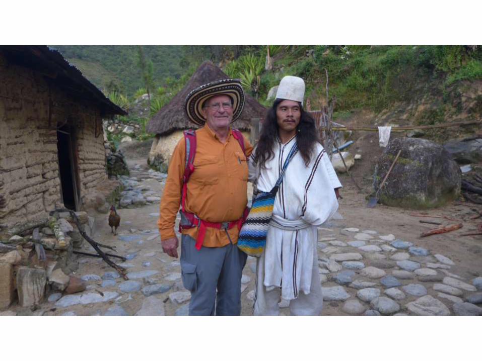
Pedro after riding and hiking 12.5 mi; note the construction
Local construction; note
smoking hut behind
The Community


Plenty of fresh, cool water in
streams
Market crops like plantain even on spiritual sites
Yucca as a staple food; note homes on the hillside
And waterfalls

Typical family grouping
A spiritual experience with Mamu
The famous coca bushOne of our friends

Community Kitchen
Community
meeting hall,
men’s sideCommunity
meeting hall,
women’s side

The People


The School Project• Training in construction
• Desks and chairs
• Arhuaco approved books
• Solar power for white
board and AV equipment
• Chickens for school lunch
The existing school building
School materials

Foundation of collapsed
school buildingExisting building repairs
Adobe blocks for 2nd school building Timbers for 2nd school building

The clinic Nurse’s quarters
Meds
Census – kids age 1-10

Best Friends!

And Return
to Cartagena
Note: Colombians ride, Americans walk

Implementing Phase One
Carrying materials up to Sogrome

Project Accounting: Payments, receipts, cash

A Big THANKS to all of the supporting clubs!