six elements, eighteen standards of geography (from geography for life)
TRANSCRIPT

Six Elements,Six Elements,Eighteen StandardsEighteen Standards
of Geographyof Geography(from (from Geography for LifeGeography for Life))

National StandardsNational Standards
Six ElementsSix ElementsWorld in Spatial TermsWorld in Spatial TermsPlaces and RegionsPlaces and RegionsPhysical SystemsPhysical SystemsHuman SystemsHuman SystemsEnvironment and SocietyEnvironment and SocietyUses of GeographyUses of Geography
Eighteen StandardsEighteen Standards

I. The World in Spatial TermsI. The World in Spatial Terms
Geography studies the relationships Geography studies the relationships between people, places, and between people, places, and environments by mapping information environments by mapping information about them into a spatial context.about them into a spatial context.

The student knows and The student knows and understands:understands:
How to use maps and other geographic How to use maps and other geographic representations, tools, and technology to representations, tools, and technology to acquire, process, and report information acquire, process, and report information from a spatial perspectivefrom a spatial perspective

The student knows and The student knows and understands:understands:
How to use mental maps to organize How to use mental maps to organize information about people, places, and information about people, places, and environments in a spatial contextenvironments in a spatial context

The student knows and The student knows and understands:understands:
How to analyze the spatial organization of How to analyze the spatial organization of people, places, and environments on people, places, and environments on Earth’s surfaceEarth’s surface

Activity: Mental MappingActivity: Mental Mapping
Show aerial photos of crop patternsShow aerial photos of crop patternsDraw the world in 30 secondsDraw the world in 30 seconds
Sketch six circles roughly in the right places Sketch six circles roughly in the right places and roughly proportionate sizes of the and roughly proportionate sizes of the continents (exclude Anarctica).continents (exclude Anarctica).
Which is the largest continent?Which is the largest continent?Which is the smallest continent?Which is the smallest continent?

The World in 30 SecondsThe World in 30 Seconds

II. Places and RegionsII. Places and Regions
The identities and lives of individuals and The identities and lives of individuals and peoples are rooted in particular places and peoples are rooted in particular places and in those human constructs called regions.in those human constructs called regions.

The student knows and The student knows and understands:understands:
The physical and human characteristics of The physical and human characteristics of placesplaces

The student knows and The student knows and understands:understands:
That people create regions to interpret That people create regions to interpret Earth’s complexityEarth’s complexity

The student knows and The student knows and understands:understands:
How culture and experience influence How culture and experience influence people’s perceptions of places and regionspeople’s perceptions of places and regions

Activity: Regions Activity: Regions
Compare geographic characteristics of Compare geographic characteristics of regions of the world at similar latitudesregions of the world at similar latitudesExample: Gulf Coastal plain in the New Example: Gulf Coastal plain in the New
Orleans area, Nile River Valley in Cairo area, Orleans area, Nile River Valley in Cairo area, and Yangtze River in Shanghai areaand Yangtze River in Shanghai area
Examine photographs to determine the Examine photographs to determine the physical and human characteristics of a physical and human characteristics of a towntown
Examine religions in your community. Examine religions in your community.

III. Physical SystemsIII. Physical Systems
Physical processes shape Earth’s surface Physical processes shape Earth’s surface and interact with plant and animal life to and interact with plant and animal life to create, sustain, and modify ecosystems.create, sustain, and modify ecosystems.
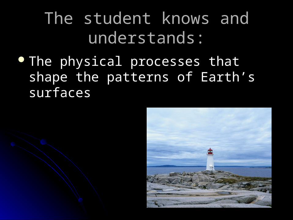
The student knows and The student knows and understands:understands:
The physical processes that shape the The physical processes that shape the patterns of Earth’s surfacespatterns of Earth’s surfaces
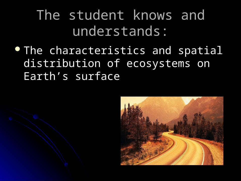
The student knows and The student knows and understands:understands:
The characteristics and spatial distribution The characteristics and spatial distribution of ecosystems on Earth’s surfaceof ecosystems on Earth’s surface

Activity: Earth/Sun RelationsActivity: Earth/Sun Relations
Relate seed and garden catalog Relate seed and garden catalog descriptions of growing seasons to the descriptions of growing seasons to the U.S. Department of Agriculture hardiness U.S. Department of Agriculture hardiness zone mapszone maps
Examine how water can change a placeExamine how water can change a placeWhat ecosystems are found in your state?What ecosystems are found in your state?

IV. Human SystemsIV. Human Systems
People are central to geography in that People are central to geography in that human activities help shape Earth’s human activities help shape Earth’s surface, human settlements and structures surface, human settlements and structures are part of Earth’s surface, and humans are part of Earth’s surface, and humans compete for control of Earth’s surface.compete for control of Earth’s surface.

The student knows and The student knows and understands:understands:
The characteristics, distribution, and The characteristics, distribution, and migration of human populations on Earth’s migration of human populations on Earth’s surfacesurface
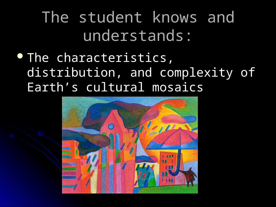
The student knows and The student knows and understands:understands:
The characteristics, distribution, and The characteristics, distribution, and complexity of Earth’s cultural mosaicscomplexity of Earth’s cultural mosaics

The student knows and The student knows and understands:understands:
The patterns and networks of economic The patterns and networks of economic interdependence on Earth’s surfaceinterdependence on Earth’s surface

The student knows and The student knows and understands:understands:
The processes, patterns, and functions of The processes, patterns, and functions of human settlementhuman settlement

The student knows and The student knows and understands:understands:
How the forces of cooperation and conflict How the forces of cooperation and conflict among people influence the division and among people influence the division and control of Earth’s surfacecontrol of Earth’s surface

Activity: Student PopulationActivity: Student Population
Develop a census questionnaire featuring population Develop a census questionnaire featuring population characteristics of interest to students (number of characteristics of interest to students (number of sisters and brothers, favorite sport, types of pets, sisters and brothers, favorite sport, types of pets, etc.). Collect data from students in two classes. etc.). Collect data from students in two classes. Describe and compare the two populations.Describe and compare the two populations.
Discuss The Great Migration. Why were the impacts Discuss The Great Migration. Why were the impacts on the North and the South?on the North and the South?
Look at Population PyramidsLook at Population Pyramids Have students examine clothing labels and denote Have students examine clothing labels and denote
all countries representedall countries represented

V. Environment and SocietyV. Environment and Society
The physical environment is modified by The physical environment is modified by human activities, largely as a human activities, largely as a consequence of the ways in which human consequence of the ways in which human societies value and use Earth’s natural societies value and use Earth’s natural resources, and human activities are also resources, and human activities are also influenced by Earth’s physical features influenced by Earth’s physical features and processes.and processes.
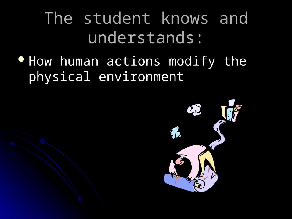
The student knows and The student knows and understands:understands:
How human actions modify the physical How human actions modify the physical environmentenvironment

The student knows and The student knows and understands:understands:
How physical systems affect human How physical systems affect human systemssystems
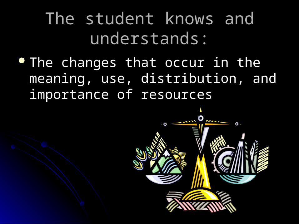
The student knows and The student knows and understands:understands:
The changes that occur in the meaning, The changes that occur in the meaning, use, distribution, and importance of use, distribution, and importance of resourcesresources

Activity: Natural HazardsActivity: Natural Hazards Collect data on the occurrence of natural Collect data on the occurrence of natural
hazards in the student’s state and elsewhere hazards in the student’s state and elsewhere in the U.S. over a period to create a mapin the U.S. over a period to create a map
What impact will the dam on the Yangtze What impact will the dam on the Yangtze River have on surrounding communities?River have on surrounding communities?
How did hurricane Katrina impact the city of How did hurricane Katrina impact the city of New Orleans?New Orleans?
Examine who controls oil and how is it Examine who controls oil and how is it distributed.distributed.
VI. The Uses of GeographyVI. The Uses of Geography
Knowledge of geography enables people Knowledge of geography enables people to develop an understanding of the to develop an understanding of the relationships between people, places, and relationships between people, places, and environments over time—that is, of Earth environments over time—that is, of Earth as it was, is, and might be.as it was, is, and might be.

The student knows and The student knows and understands:understands:
How to apply geography to interpret the How to apply geography to interpret the pastpast

The student knows and The student knows and understands:understands:
How to apply geography to interpret the How to apply geography to interpret the present and plan for the futurepresent and plan for the future
Activity: Past CommunityActivity: Past Community
With interviews, maps, and pictures create With interviews, maps, and pictures create a booklet of the history of your communitya booklet of the history of your community
Why did the Vietnam War fail?Why did the Vietnam War fail?Propose an alternative solution to an Propose an alternative solution to an
environmental problemenvironmental problem

ResourcesResources
Geography for LifeGeography for Life (1994). Washington, (1994). Washington, D.C.: National Geographic Research & D.C.: National Geographic Research & Exploration: Author.Exploration: Author.