results of the emodnet sea-basin checkpoints: bathymetry
TRANSCRIPT
1http://www.emodnet.eu
EMODnet Stakeholder Conference & Sea-basin Workshops 14-15 February 2017
Bathymetry
Arctic checkpoint – Belinda KaterOn behalf of all Checkpoints
EMODnet Sea-basin Checkpoints Results
Bathymetry
2
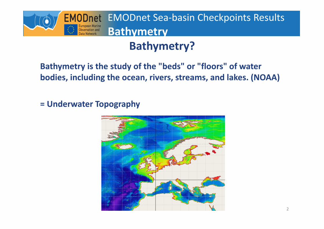
Bathymetry?
Bathymetry is the study of the "beds" or "floors" of water
bodies, including the ocean, rivers, streams, and lakes. (NOAA)
= Underwater Topography
EMODnet Sea-basin Checkpoints Results
Bathymetry
3
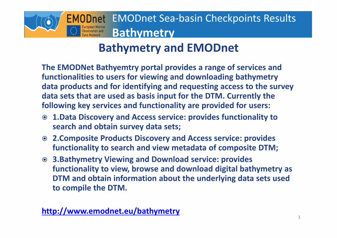
Bathymetry and EMODnet
The EMODNet Bathyemtry portal provides a range of services and functionalities to users for viewing and downloading bathymetry data products and for identifying and requesting access to the survey data sets that are used as basis input for the DTM. Currently the following key services and functionality are provided for users:
� 1.Data Discovery and Access service: provides functionality to search and obtain survey data sets;
� 2.Composite Products Discovery and Access service: provides functionality to search and view metadata of composite DTM;
� 3.Bathymetry Viewing and Download service: provides functionality to view, browse and download digital bathymetry as DTM and obtain information about the underlying data sets used to compile the DTM.
http://www.emodnet.eu/bathymetry
EMODnet Sea-basin Checkpoints Results
Bathymetry

4
Bathymetry and EMODnet
EMODnet Sea-basin Checkpoints Results
Bathymetry
http://www.emodnet-hydrography.eu/
http://portal.emodnet-bathymetry.eu/mean-
depth-rainbow-colour-ramp-no-land-data
5
But why is Bathymetry important?
� Safe ocean navigation
� planning marine installations and infrastructure:
� Wind turbines
� Coastal defenses
� Oil platforms
� Pipelines
� Etc.
� Ecology
EMODnet Sea-basin Checkpoints Results
Bathymetry

6
Checkpoint Results - General
Which challenges require bathymetric data?
� Bathymetry (Yes, Really)
� Windfarm Siting
� Oil Leak Platform
Less important but could be useful:
� Fisheries impact
� Coast
� MPA
� Alien Species
EMODnet Sea-basin Checkpoints Results
Bathymetry

7
Checkpoint Results
� All basins: EMODnet provides a pan-European broadscale
bathymetry map
� But wait!! What happened to the rest of the Arctic? And the Atlantic?
EMODnet Sea-basin Checkpoints Results
Bathymetry
8
Checkpoint Results
� Arctic
� The quality of the bathymetric data in the Barents Sea and Norwegian
Sea is good enough to use the available data to determine where
suitable water depths occur that are compatible with either a fixed or
a floating offshore wind turbine.
� Bathymetry data for the complete Arctic Ocean are available from
EMODnet portals; SeaDataNet; Copernicus marine service; ACCESS;
ICES; NOAA National Geophysical Data Center; Marine Cadastre;
Geographic Information Network of Alaska; Bureau of Ocean Energy
Management; USGS Alaska Geospatial Data Committee; US Coast
Guard; National Weather Service. But the datasets are extremely
large. These datasets provide information on where water depth
information exists for the study area, and where information is as of
yet not available. While sufficient for general research and interest,
the data is insufficiently granular to be used for navigation.
EMODnet Sea-basin Checkpoints Results
Bathymetry

9
Checkpoint Results
� Atlantic
� Bathymetry data products overall scored very high availability.
However visibility of the data is not optimal.
� Some restrictions were found with EMODnet bathymetry “background
datasets” data policy. In the North Atlantic a high proportion of 88% of
the 10,000 survey data occurrences were obtained by negotiation.
Part of these restrictions are due to national or international legal
constraints (defense, mining law, UNCLOS, ...). It should be noted that
'by negotiation' does not mean that the data are not available but it
clearly slows down the data access process.
� The literature survey indicates that higher DTM resolution than 250m
is required for many applications (e.g. 50m to 100m for applications
such as wind farms, sea level estimates or hydrodynamic modeling).
� Another request is for metadata completeness (e.g. soundings
timestamp)
EMODnet Sea-basin Checkpoints Results
Bathymetry

10
Checkpoint Results
� Baltic
� data are available from BSHC Baltic Sea Bathymetry Database (BSBD)
and EMODnet, in 500m resolution;
� due to national regulations, data availability varies greatly with
countries. In Lithuanian and Russian waters, BSBD uses data from
GEBCO 30” bathymetry data. Sweden and Finland have restrictions on
the resolution of released bathymetry, i.e., 500m, while other
countries e.g., Denmark and Germany release data up to 4m
resolution;
� the existence of good quality bathymetric data sets is gradually
improving but bathymetric surveys are expensive and time
consuming operations. In a substantial area of the Baltic Sea the
quality of available bathymetry is still low. This seems to be especially
the case for shallower waters that are not of interest for commercial
shipping.
EMODnet Sea-basin Checkpoints Results
Bathymetry

11
Checkpoint Results
� Black Sea
� The availability indicators for bathymetric data are mostly Yellow and
Red.
� There are no clear data policy and pricing information.
� The datasets do not provide a full EU Inspire catalogue service.
� Visibility of data policy is not enough.
� Mediterranean
� The availability indicators for this theme are dominantly GREEN. Only
6 data sets were used for the evaluation.
� The appropriateness indicators are RED for temporal coverage and
temporal validity (last time the data set was updated).
EMODnet Sea-basin Checkpoints Results
Bathymetry

12
Checkpoint Results
� North Sea
� The wind farm siting challenge found that resolution of bathymetry
varies with territorial waters, so comparison of boundary areas ended
up with variable resolution. Less processing of data was required by
using the SeaZone product (as against that from the bathymetry
portal) which was preferred for this challenge.
EMODnet Sea-basin Checkpoints Results
Bathymetry

13
Conclusion
� For all Checkpoints data is available, BUT
� Resolution is not always high enough;
� Not all data is open-source;
� Data can be scattered and hard to connect;
� Not all areas have been monitored.
EMODnet Sea-basin Checkpoints Results
Bathymetry