put title here - cadcorp · pdf file•desktop gis –mapinfo professional...
TRANSCRIPT

Cadcorp
Local Government ConferenceThursday 23rd March 2017
www.sefton.gov.uk
Introducing SIMONSefton Interactive Maps ONline
Introduction
• Chris Nelson - Technical Officer, Planning Services
• SIMON and SIMON+ - a case study
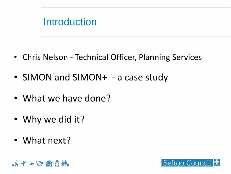
Introduction
• Chris Nelson - Technical Officer, Planning Services
• SIMON and SIMON+ - a case study
• What we have done?
• Why we did it?
• What next?
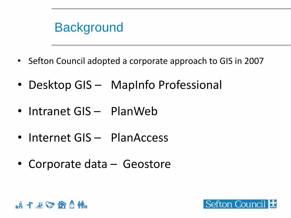
Background
• Sefton Council adopted a corporate approach to GIS in 2007
• Desktop GIS – MapInfo Professional
• Intranet GIS – PlanWeb
• Internet GIS – PlanAccess
• Corporate data – Geostore
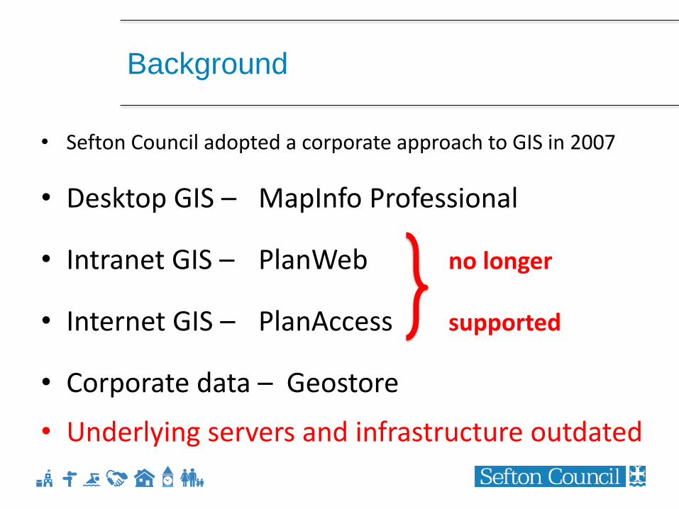
Background
• Sefton Council adopted a corporate approach to GIS in 2007
• Desktop GIS – MapInfo Professional
• Intranet GIS – PlanWeb no longer
• Internet GIS – PlanAccess supported
• Corporate data – Geostore
• Underlying servers and infrastructure outdated
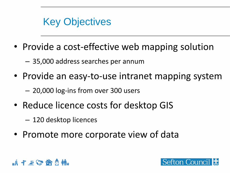
Key Objectives
• Provide a cost-effective web mapping solution
– 35,000 address searches per annum
• Provide an easy-to-use intranet mapping system
– 20,000 log-ins from over 300 users
• Reduce licence costs for desktop GIS
– 120 desktop licences
• Promote more corporate view of data
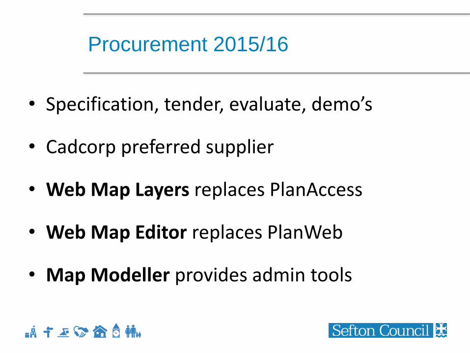
Procurement 2015/16
• Specification, tender, evaluate, demo’s
• Cadcorp preferred supplier
• Web Map Layers replaces PlanAccess
• Web Map Editor replaces PlanWeb
• Map Modeller provides admin tools
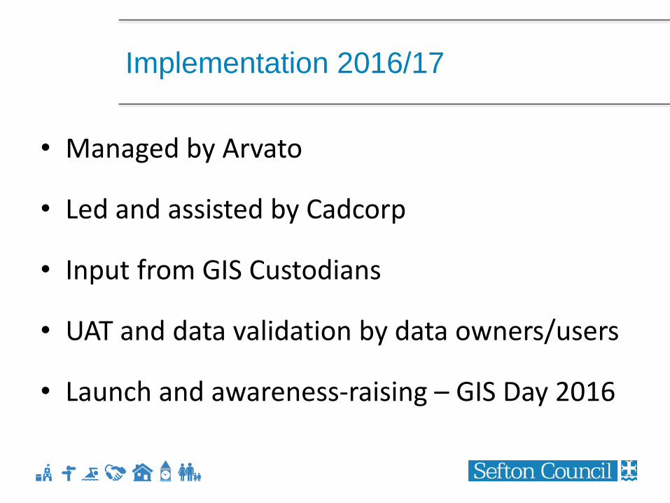
Implementation 2016/17
• Managed by Arvato
• Led and assisted by Cadcorp
• Input from GIS Custodians
• UAT and data validation by data owners/users
• Launch and awareness-raising – GIS Day 2016
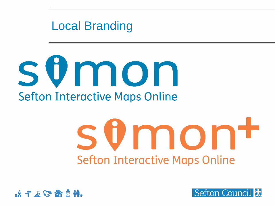
Local Branding
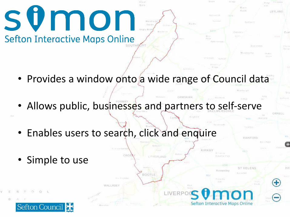
• Provides a window onto a wide range of Council data
• Allows public, businesses and partners to self-serve
• Enables users to search, click and enquire
• Simple to use
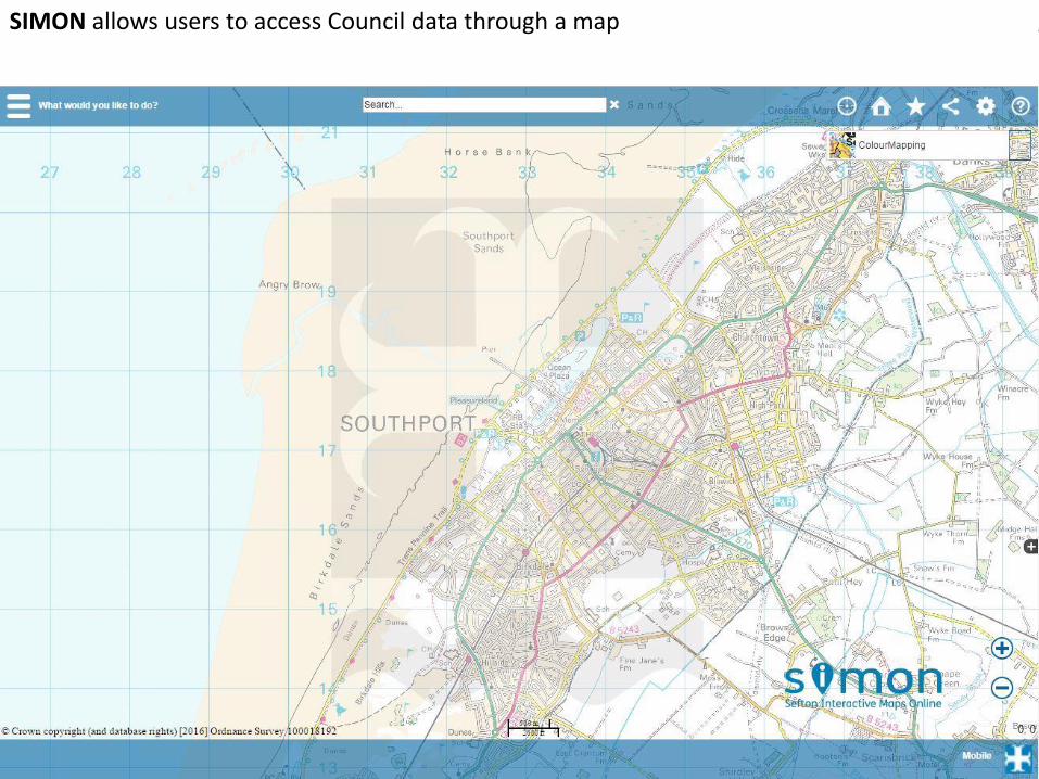
SIMON allows users to access Council data through a map
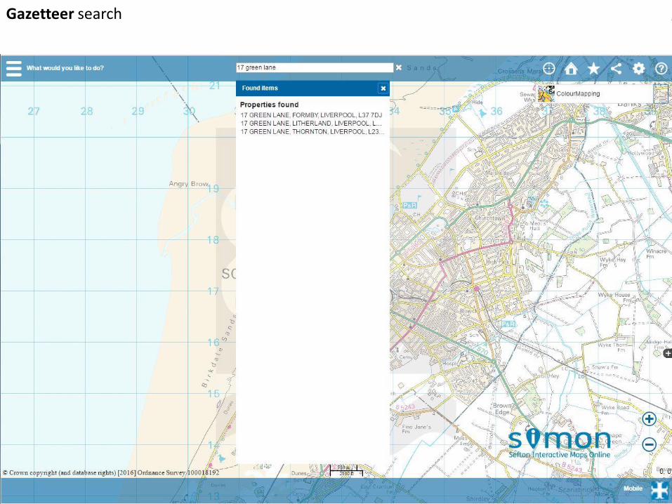
Gazetteer search
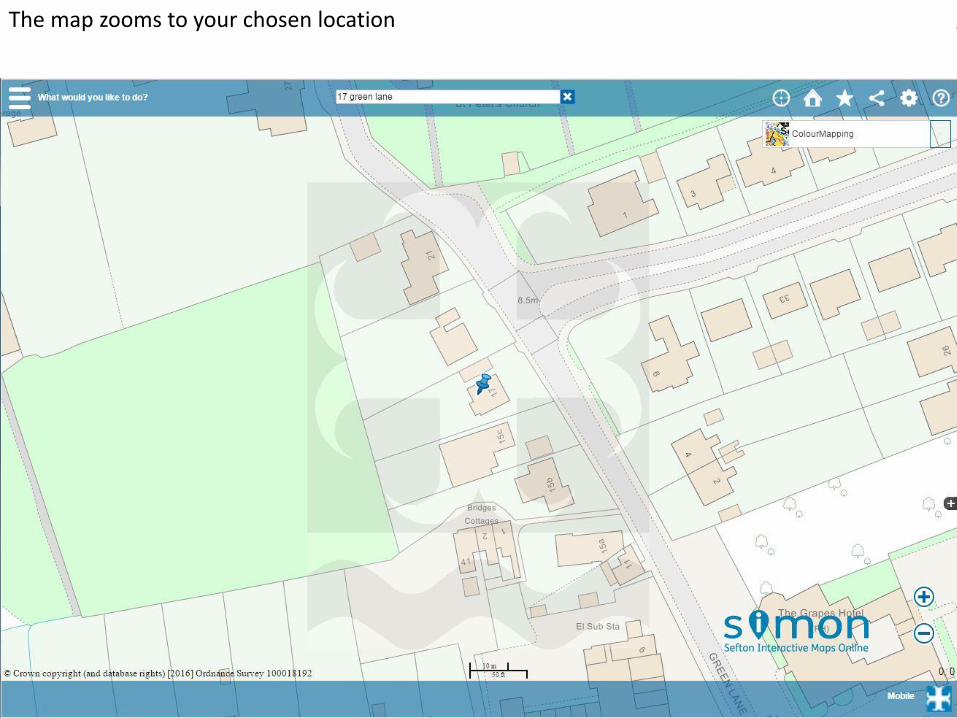
The map zooms to your chosen location
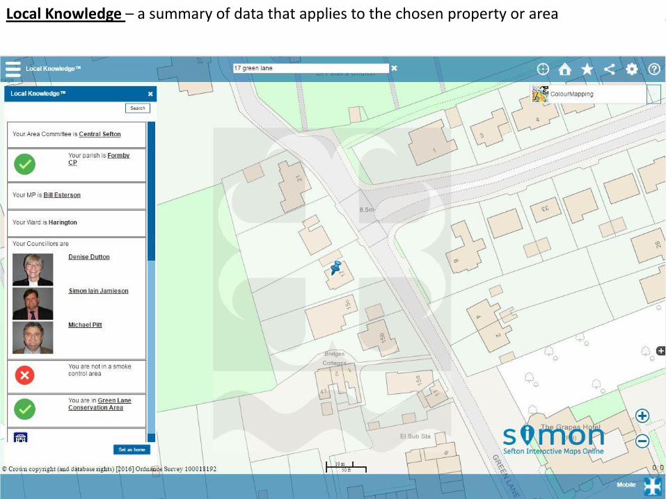
Local Knowledge – a summary of data that applies to the chosen property or area
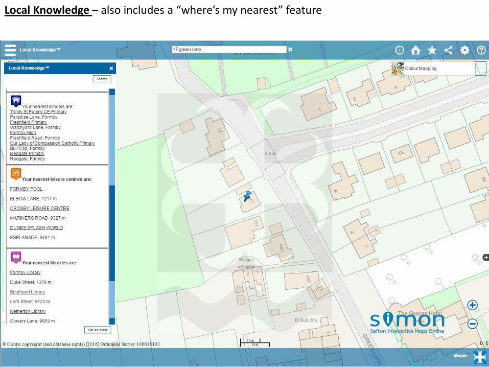
Local Knowledge – also includes a “where’s my nearest” feature
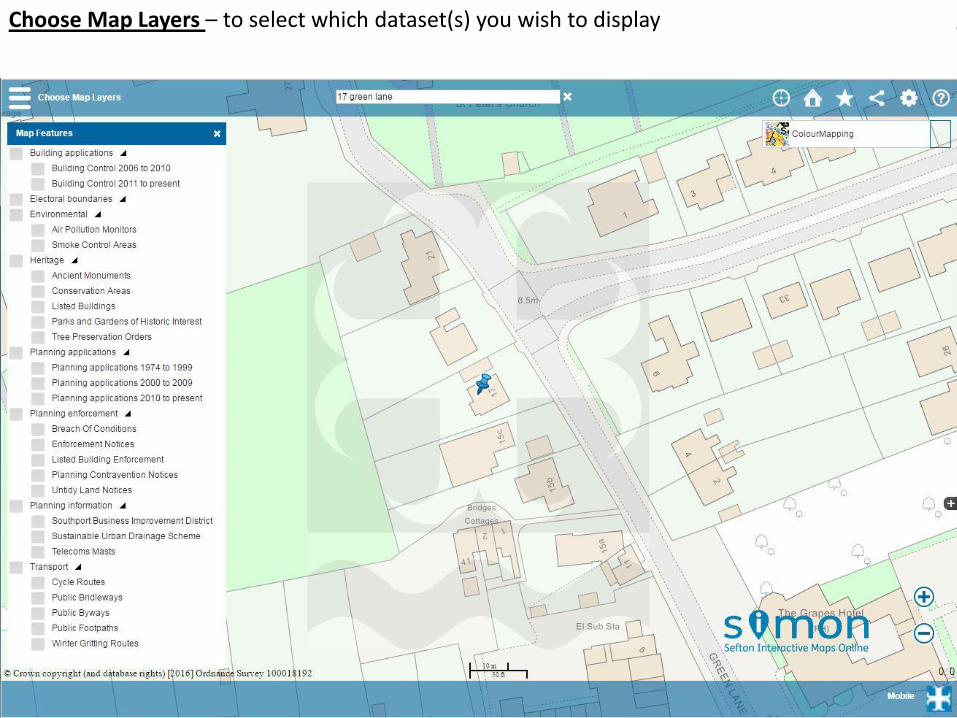
Choose Map Layers – to select which dataset(s) you wish to display
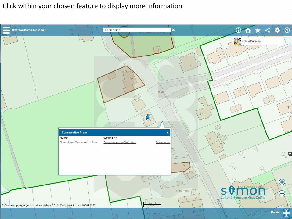
Click within your chosen feature to display more information
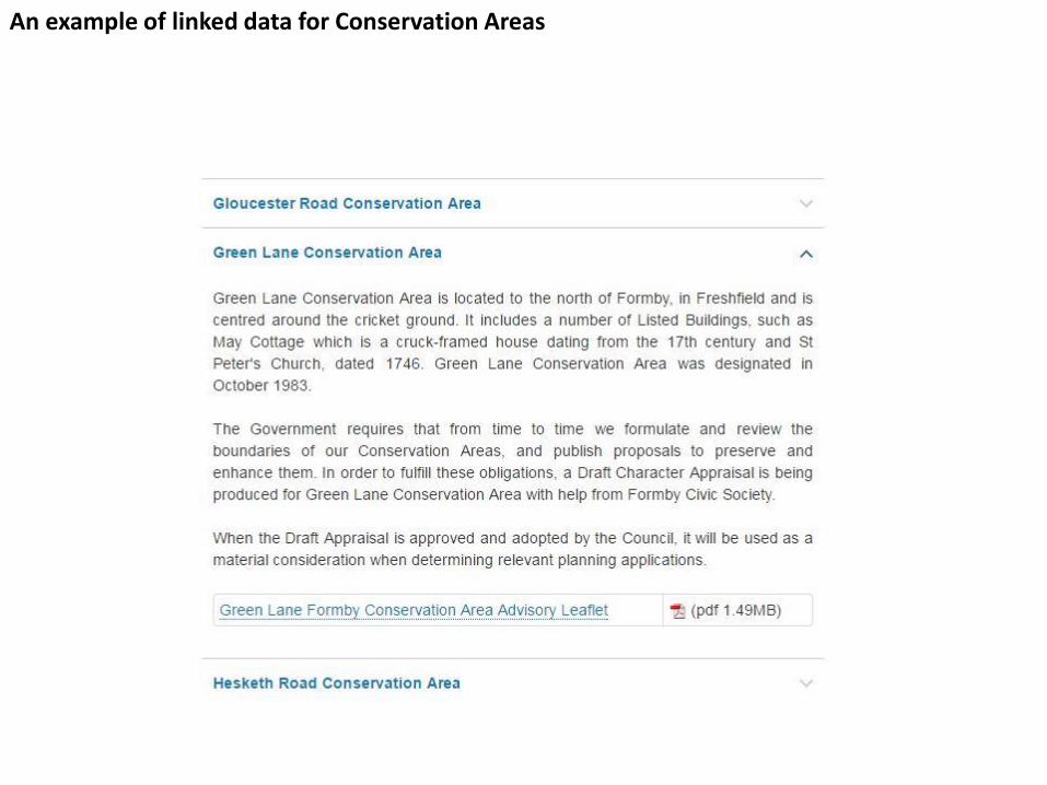
An example of linked data for Conservation Areas
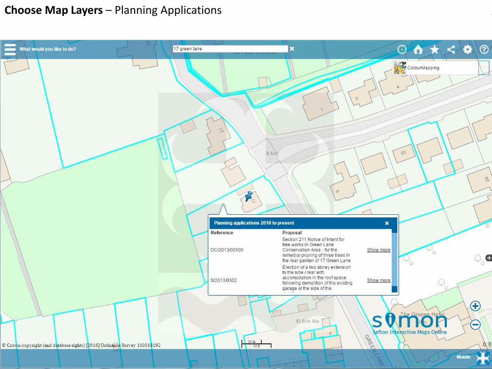
Choose Map Layers – Planning Applications
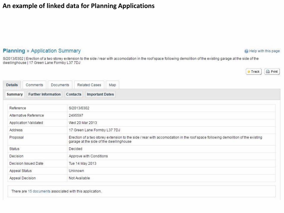
An example of linked data for Planning Applications
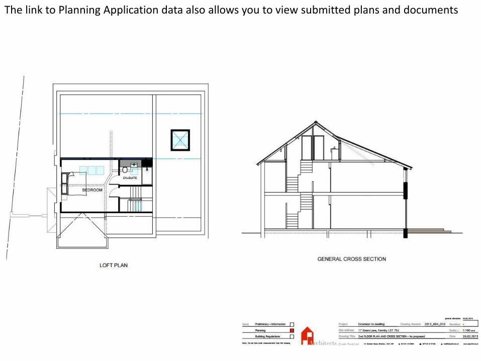
The link to Planning Application data also allows you to view submitted plans and documents
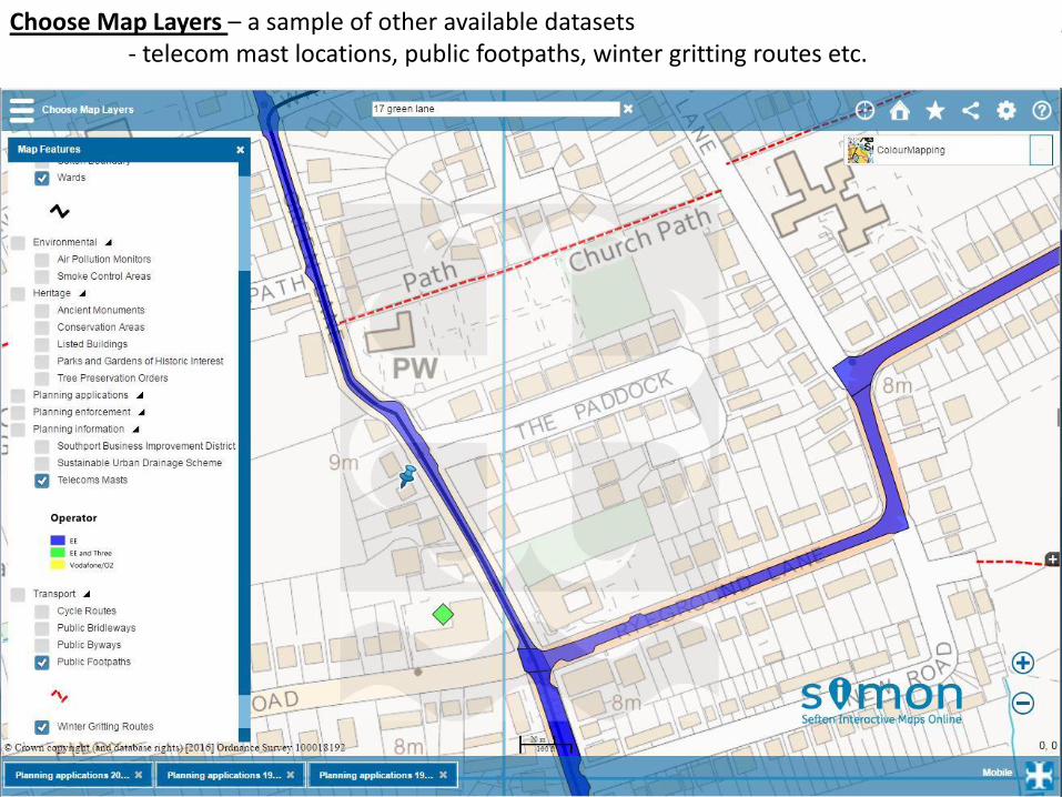
Choose Map Layers – a sample of other available datasets- telecom mast locations, public footpaths, winter gritting routes etc.

• Enables users to view, enquire and make simple queries
• Encourages data sharing
• Creating SWDs is work in progress
• User over training and hand-holding taking place
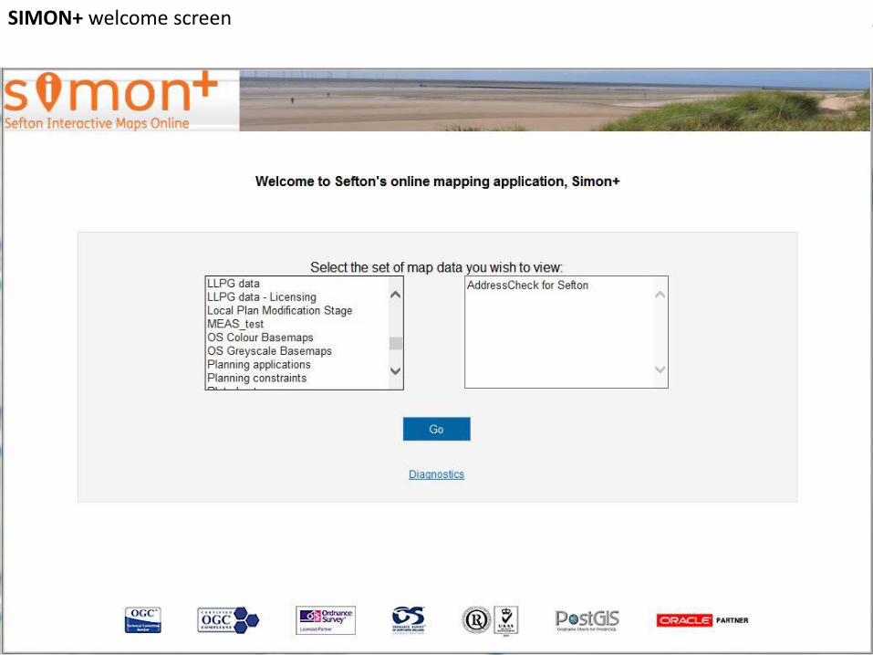
SIMON+ welcome screen
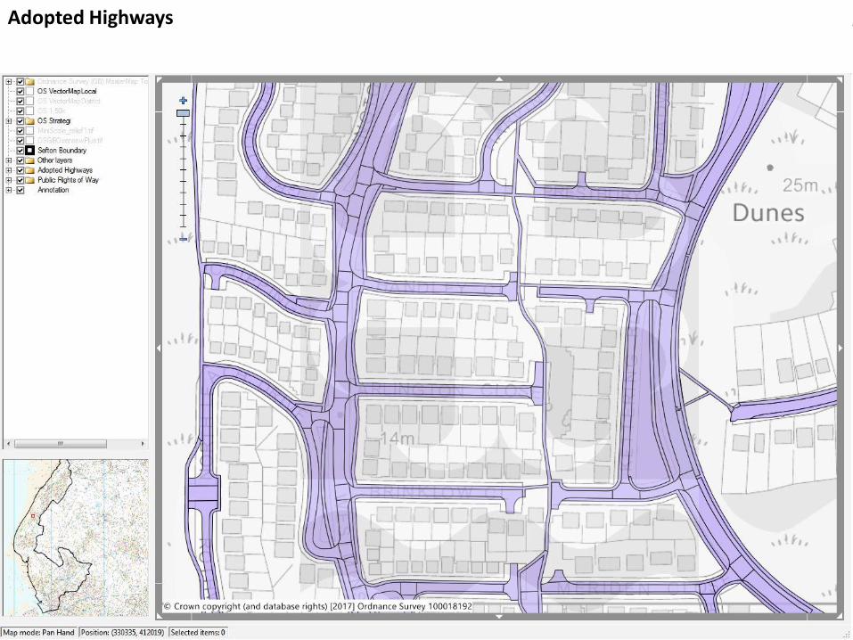
Adopted Highways
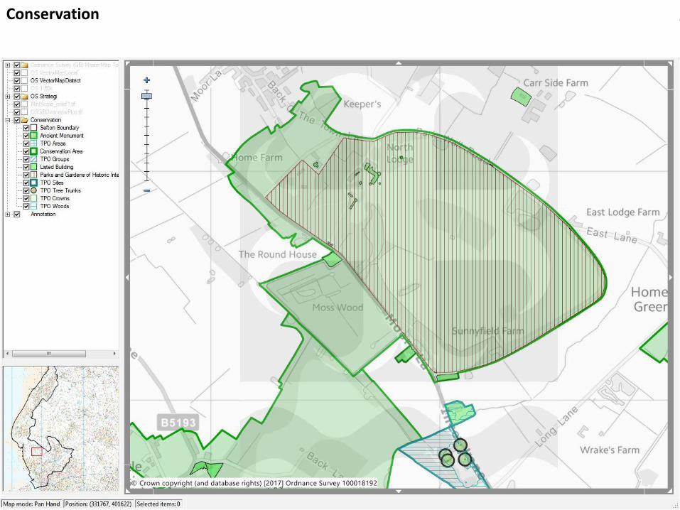
Conservation
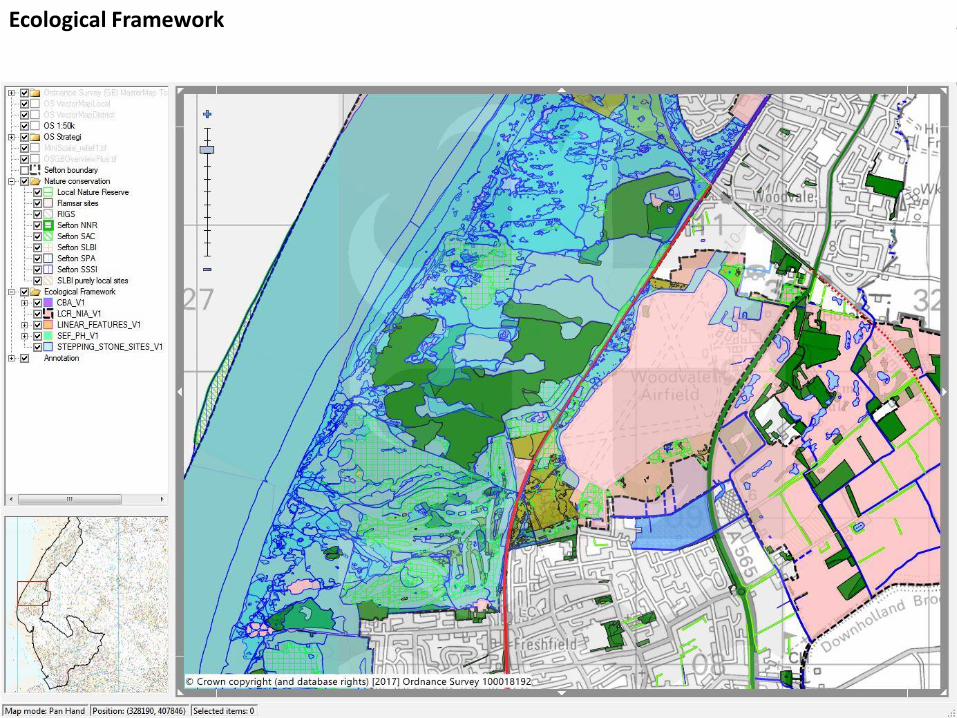
Ecological Framework

Historic Mapping
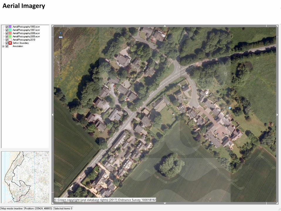
Aerial Imagery
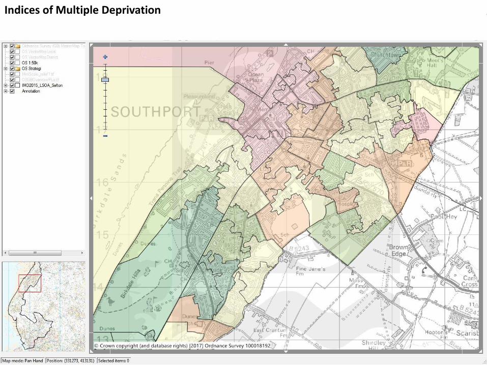
Indices of Multiple Deprivation
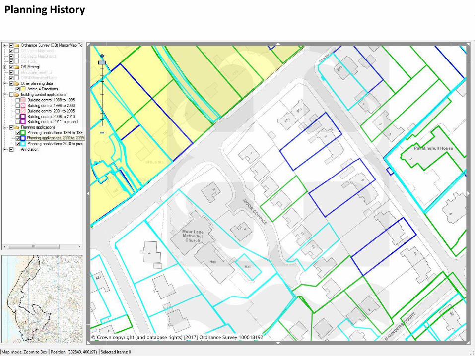
Planning History
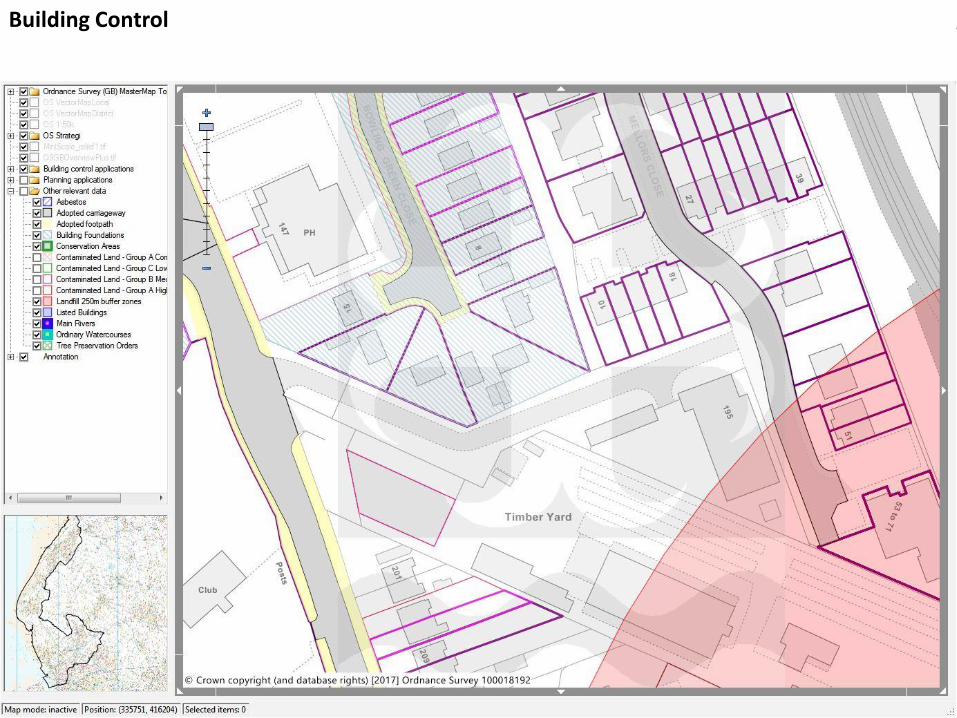
Building Control
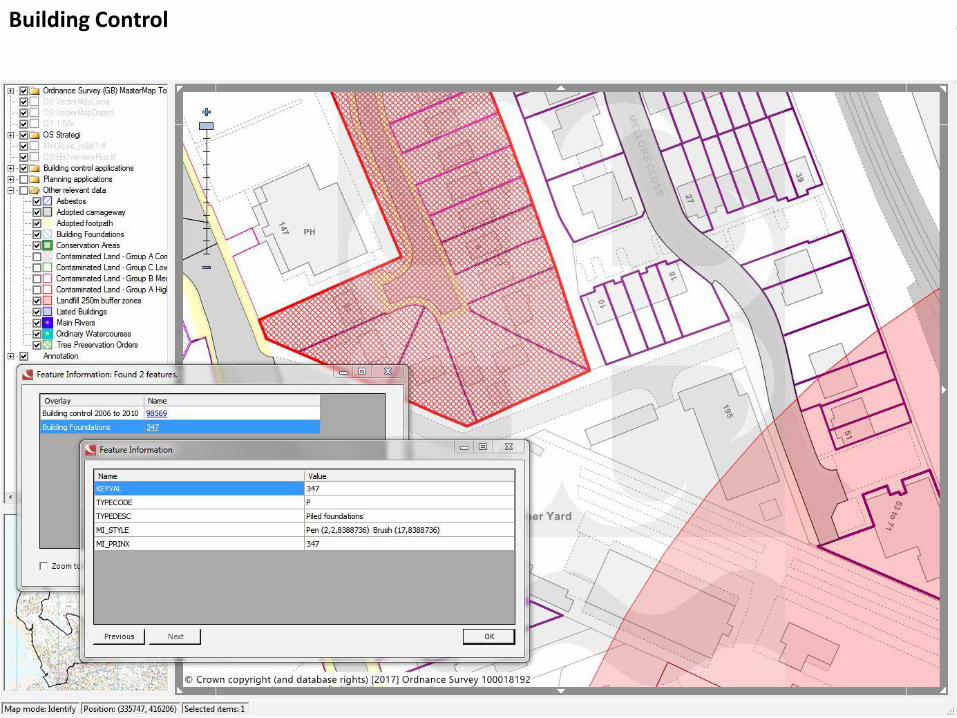
Building Control
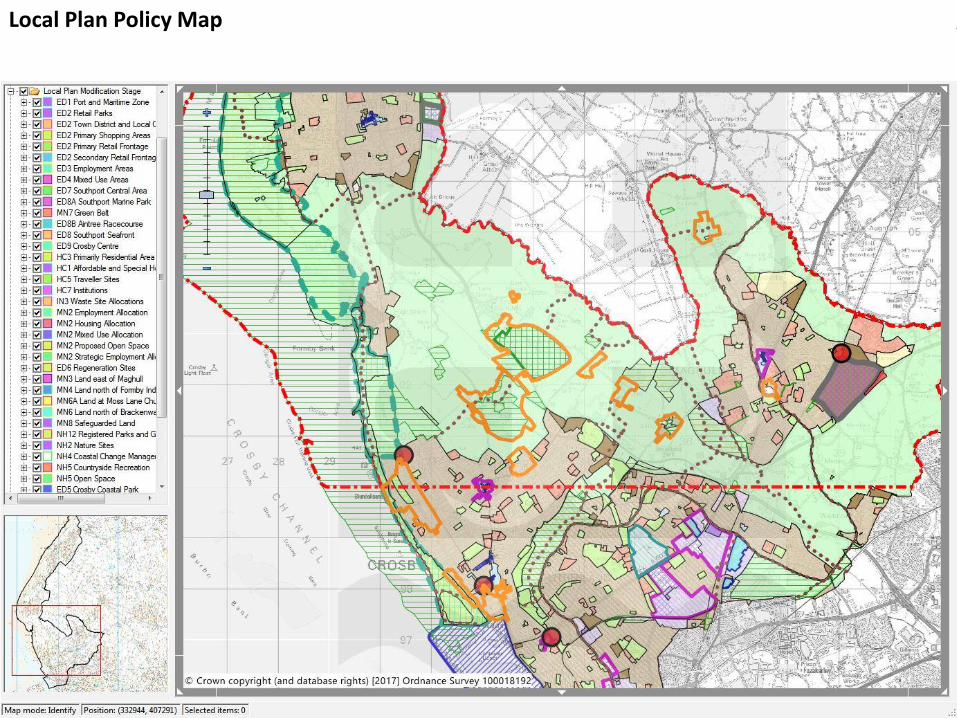
Local Plan Policy Map
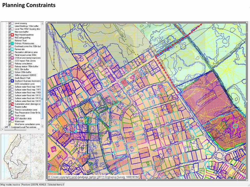
Planning Constraints
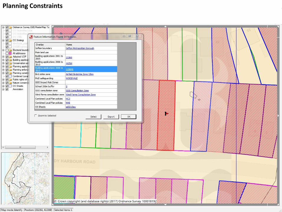
Planning Constraints
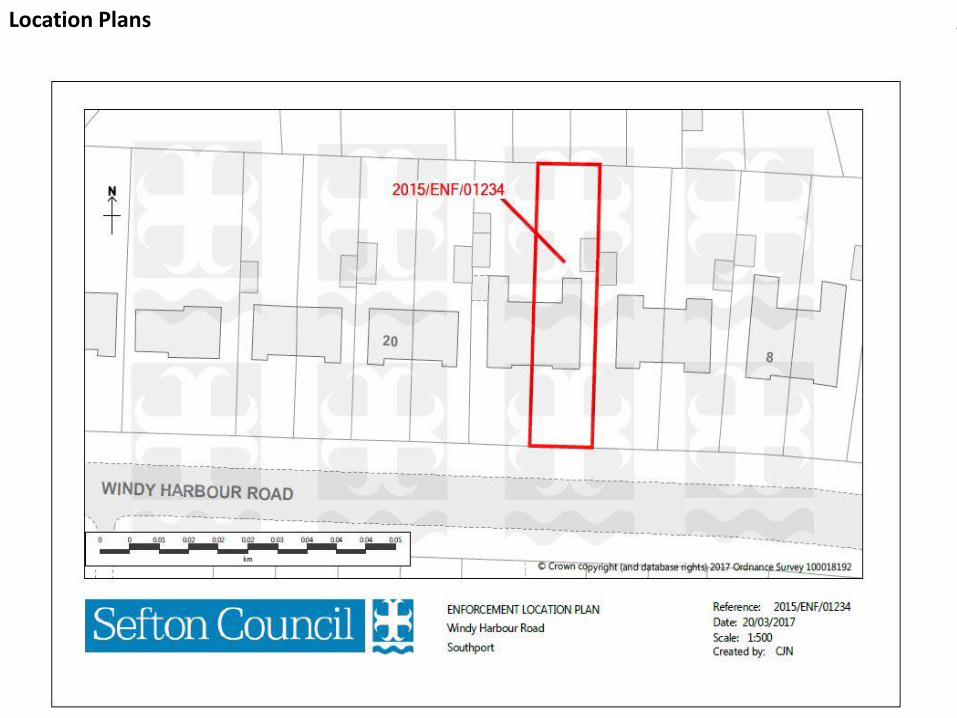
Location Plans
Why use GIS?
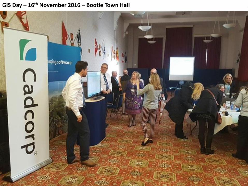
GIS Day – 16th November 2016 – Bootle Town Hall
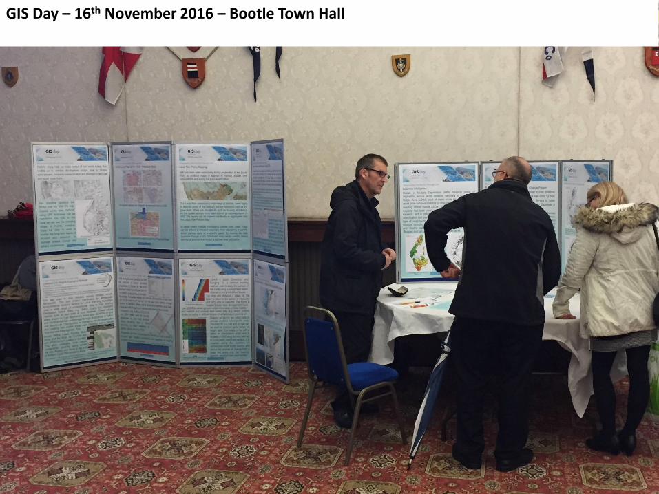
GIS Day – 16th November 2016 – Bootle Town Hall
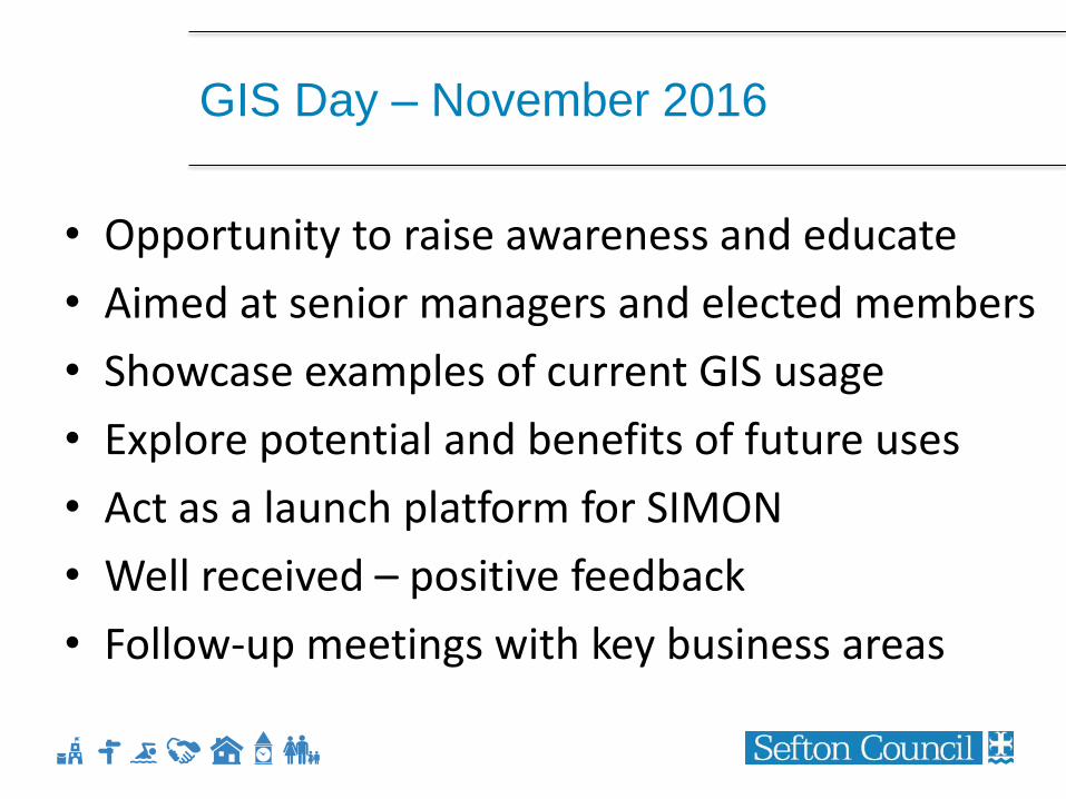
GIS Day – November 2016
• Opportunity to raise awareness and educate
• Aimed at senior managers and elected members
• Showcase examples of current GIS usage
• Explore potential and benefits of future uses
• Act as a launch platform for SIMON
• Well received – positive feedback
• Follow-up meetings with key business areas
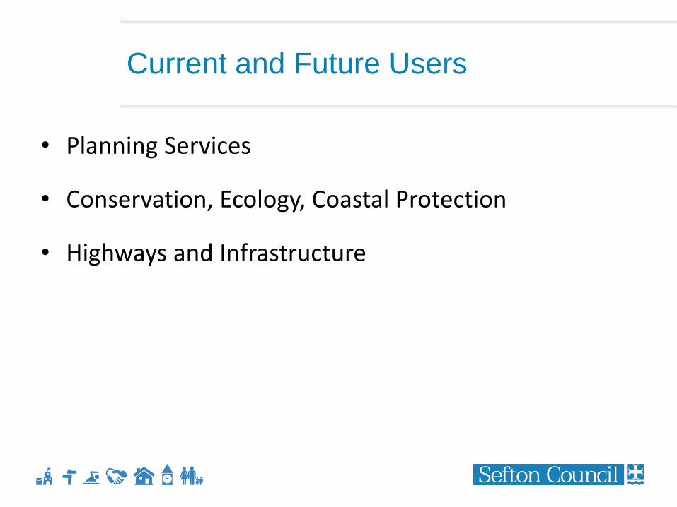
Current and Future Users
• Planning Services
• Conservation, Ecology, Coastal Protection
• Highways and Infrastructure
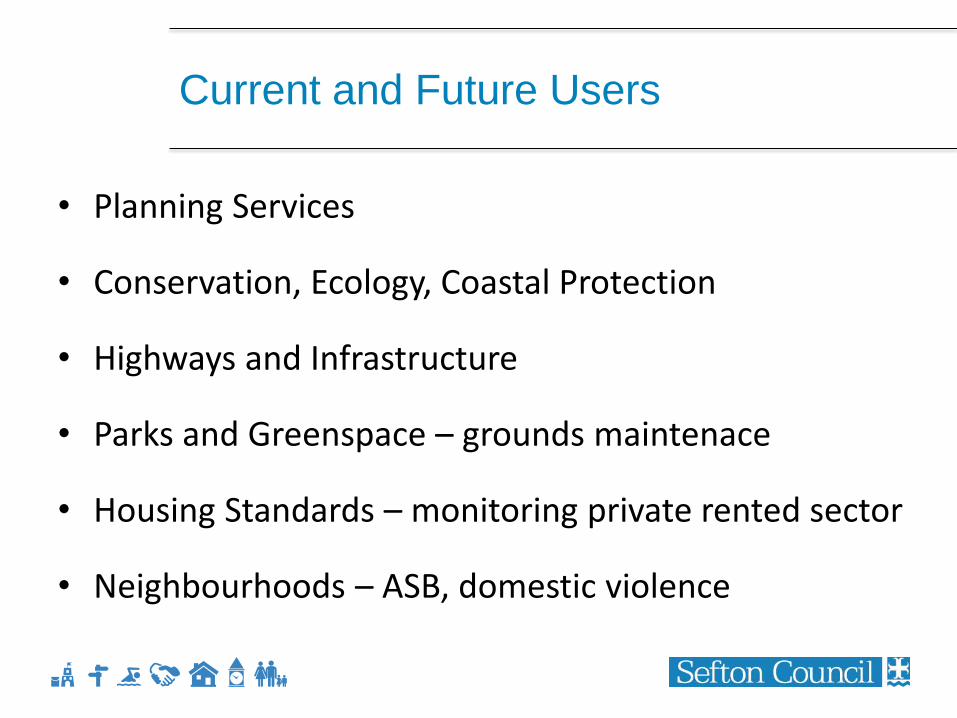
Current and Future Users
• Planning Services
• Conservation, Ecology, Coastal Protection
• Highways and Infrastructure
• Parks and Greenspace – grounds maintenace
• Housing Standards – monitoring private rented sector
• Neighbourhoods – ASB, domestic violence
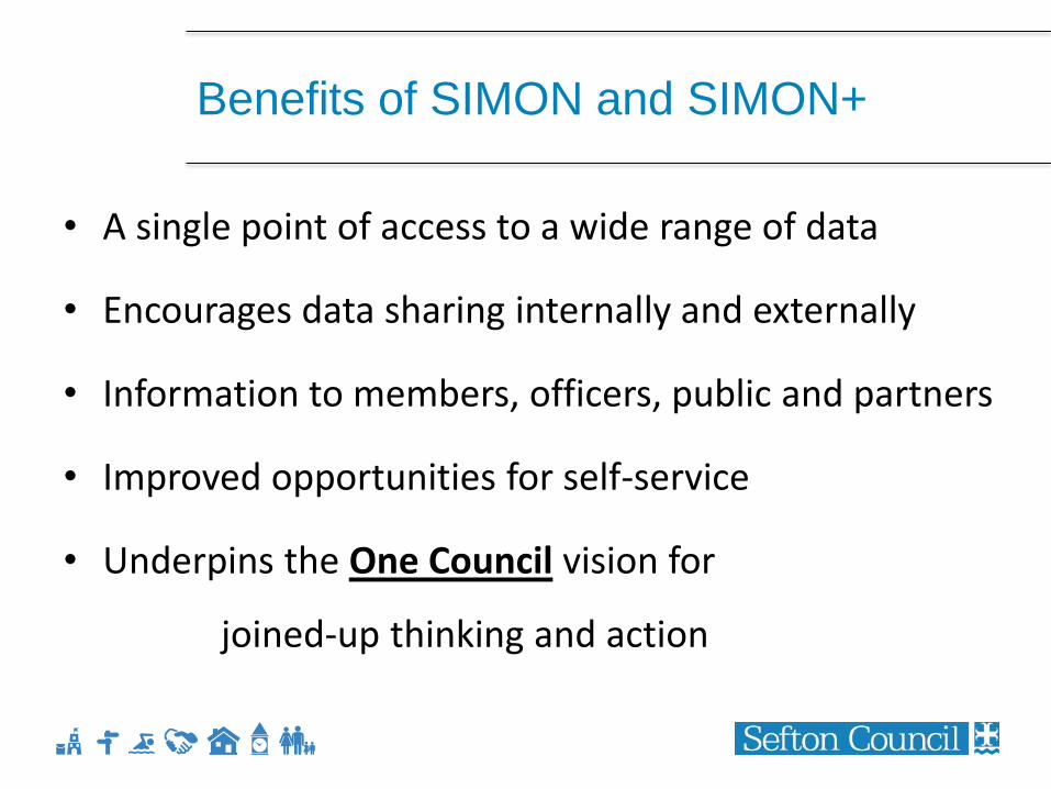
Benefits of SIMON and SIMON+
• A single point of access to a wide range of data
• Encourages data sharing internally and externally
• Information to members, officers, public and partners
• Improved opportunities for self-service
• Underpins the One Council vision for
joined-up thinking and action
ANY QUESTIONS?