properties of aquifers - national chiao tung university of aquifers... · properties of aquifers....
TRANSCRIPT

Properties of Properties of AquifersAquifers
HsinHsin--yu Shanyu ShanDepartment of Civil Department of Civil
EngineeringEngineeringNational Chiao Tung National Chiao Tung
UniversityUniversity


Porosity of Earth MaterialsPorosity of Earth Materials
• n porosity• Vv volume of void space in a unit
volume of earth material (L3)• V unit volume of earth material,
including both voids and solids (L3)
VVn v=

Pores and PermeabilityPores and Permeability


Engineering Grain Size Engineering Grain Size ClassificationClassification
<0.075Fines0.075-0.42Fine sand0.42-2Medium sand2-4.75Coarse sand4.75-19Fine gravel19-76Coarse gravel76-305Cobbles>305BoulderSize Range (mm)Name

Porosity Range of Porosity Range of SedimentsSediments
0.3-0.6Clay
0.35-0.5Silt
0.1-0.2Glacial till
0.2-0.35Sand and gravel, mixed
0.25-0.5Well-sorted sand or gravel

Effective PorosityEffective Porosity• ne
• Porosity available for fluid flow

Porosity of Sedimentary Porosity of Sedimentary RocksRocks
• Primary porosity– Pores between grains
• Secondary porosity– Fractures

Primary porosity
Gravel

Secondary porosity
Limestone

Specific YieldSpecific Yield• Specific Yield Sy the ratio of the
volume of water that drains from a saturated geomaterial owing to the attraction of gravity to the total volume of the geomaterial

Specific RetentionSpecific Retention• Specific retention Sr the ratio of
the volume of water a geomaterialcan retain against gravity drainage to the total volume of the geomaterial.
n = Sy + Sr

Fig. 4.9 Pendular water clinging to spheres owing to surface tension. Gravity attraction is pulling the water downward

Specific YieldSpecific Yield
221226Coarse gravel231326Medium gravel252135Fine gravel252035Gravelly sand272035Coarse sand
261532Medium sand211028Fine sand18319Silt
7312Sandy clay205Clay
Average
Minimum
Maximum
Material

Fig. 4.10 Specific yield of sediments from the Humboldt River Valley of Nevada as a function of the median grain size

hA
hA-hB
hB
A B

Bernoulli EquationBernoulli Equation
constant2
2
=++=g
Pzg
vhρ
• Bernoulli equation– h hydraulic head (L, J/N)– First term – velocity head (ignored in
ground water flow)– Second term – elevation head– Third term – pressure head

Hydraulic HeadHydraulic Head• Total head• Elevation head• Pressure head• Velocity head

Hydraulic ConductivityHydraulic Conductivity• K hydraulic conductivity (L/T)• A function of properties of both
porous media and the fluid passing through it
• k intrinsic permeability (L2)• A function of porous media only

µρgkK =
• ρ density of fluid• g acceleration of gravity• µ dynamic viscosity of fluid
• 1 cP = 0.01 dyn·s/cm2
• 1 darcy = 9.87 x 10⁻⁹ cm2

Hydraulic ConductivityHydraulic Conductivity
iJHydraulic gradient
KkIntrinsic permeability
kKHydraulic conductivity
Geotechnical
Hydrogeology

Ranges of Hydraulic Ranges of Hydraulic ConductivityConductivity
10-2 – 110 – 103Well-sorted gravel
10-3 – 10-11 – 102Well-sorted sands, glacial outwash
10-5 – 10-310-2 – 1Silty sands, fine sands
10-6 – 10-410-3 – 10-1Silt, sandy silts, clayey sands, till
10-9 – 10-610-6 – 10-3Clay
Hydraulic Conductivity (cm/s)
Intrinsic Permeability
(darcy)
Material

Measurement of Measurement of KK in the in the LabLab
• Constant Head Method• Falling Head Method• Rising/Falling Head Method• Constant Rate of Flow

Constant-Head Method

Falling Head Method

Types of Types of KK Test ApparatusTest Apparatus• Fixed-Wall Permeameter
– No control of effective stress
• Flexible-Wall Permeameter– Can control effective stress
• Consolidation Cell– Can control vertical effective stress
• Other

Factors Affecting Factors Affecting Measurement of Measurement of KK
• Effective stress• Hydraulic gradient• Volume of Flow

Termination CriteriaTermination Criteria

Head/Tail WaterPressure Confining Pressure
Air Pressure
Top CapPorous DiscFilter PaperWire ScreenGeotextile
SoilSample
Pesdestal
Burrete
Reser-voir
S
40 0 0
Filter PaperPorous Disc
012
34 5 6
78
910
Kg/cm2
Vacuum
Pressure control and the flexible-wall cell setup

Homogeneity and IsotropyHomogeneity and Isotropy

Fig. 4.26 Grain shape and orientation can affect the isotropy or anisotropy of a sediment

Fig. 4.27 Anisotropy of fractured rock units due to directional nature of fracturing

Fig. 4.28 Hetrogeneous formation consisting of three layers of differing hydraulic conductivity


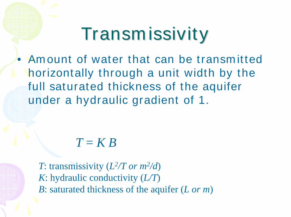
TransmissivityTransmissivity• Amount of water that can be transmitted
horizontally through a unit width by the full saturated thickness of the aquifer under a hydraulic gradient of 1.
T = K B
T: transmissivity (L2/T or m2/d)K: hydraulic conductivity (L/T)B: saturated thickness of the aquifer (L or m)

StorativityStorativity• Storativity (S) or Storage coefficient• The volume of water that a
permeable unit will absorb or expel from storage per unit surface area per unit change in head.

Specific StorageSpecific Storage• Specific storage (Ss) or Elastic
storage coefficient• The amount of water per unit volume
of a saturated formation that is stored or expelled from storage owing to compressibility of the mineral skeleton and the pore water unit change in head.

)( βαρ ngS ws +=Specific StorageSpecific Storage
• ρw density of water• g the acceleration of gravity• α compressibility of aquifer skeleton
(1/(M/LT2))• β compressibility of water (1/(M/LT2))• n porosity (L3/L3)

Confined aquifer
S = B Ss
Unconfined aquifer
S = Sy + h Ss

Water TableWater Table• The surface at which pore water pressure
is equal to atmospheric pressure
Capillary fringe
Saturated zone
Ground surfaceHydroscopic water pressure less than atmospheric
Unsaturated zonePore water pressure equal to atmospheric
Pore water pressure greater than atmospheric


Definition of AquiferDefinition of Aquifer• A aquifer is a geologic unit that can
store and transmit water at rates fast enough to supply reasonable amounts to wells.

Confining LayerConfining Layer• A confining layer is a geologic unit
having little or not intrinsic permeability – less than about 10-2
darcy.

• Aquifuge is an absolutely impermeable unit that will not transmit any water
• Aquiclude is a formation that has very low hydraulic conductivity, which hardly transmit water
• Aquitard is a layer of low permeability that can store ground water and also transmit it slowly from one aquifer to another; also know as leaky confining layer.

Types of AquifersTypes of Aquifers• Unfonfined aquifer (Water-table
aquifer)• Confined aquifer (Artesian aquifer)

Unconfined AquiferUnconfined Aquifer• An aquifer that is close to the ground
surface, with continuous layers of materials of high intrinsic permeability extending from the land surface to the base of the aquifer.
• Recharge from downward seepage through the unsaturated zone, lateral ground water flow, or upward seepage from underlying strata.

Unconfined Aquifer


Confined AquiferConfined Aquifer• An aquifer that are overlain by a confining
layer.• Recharge occurs in recharge area, where
the aquifer crops out, or by slow downward leakage through a leaky confining layer.
• Potentiometric surface is the surface representative of the level to which water will rise in a well cased to the aquifer.

Confined Aquifer

Confined Aquifer

Perched AquiferPerched Aquifer• Water intercepted by a layer of low-
permeability material in more permeable materials and accumulated on top of the low-permeability layer.
• Occurs above the main water table.


DefinitionsDefinitions


Vadose ZoneVadose Zone• The upper layer of the earth that
contain a three-phase system of solid, liquid, and gaseous material.
• Also called the zone of aeration or unsaturated zone.

Zone of AerationZone of Aeration• The zone where the soil moisture is
under tension

Capillary FringeCapillary Fringe• Capillary pores in the zone of
aeration draw up water from the zone of saturation beneath the water table.
• In very fine-grained soils, this capillary fringe can saturate the soil above the water table
• Tensiometer reading is negative• Capillary fringe is a part of vadose
zone