openstreetmap workshop, accra
TRANSCRIPT
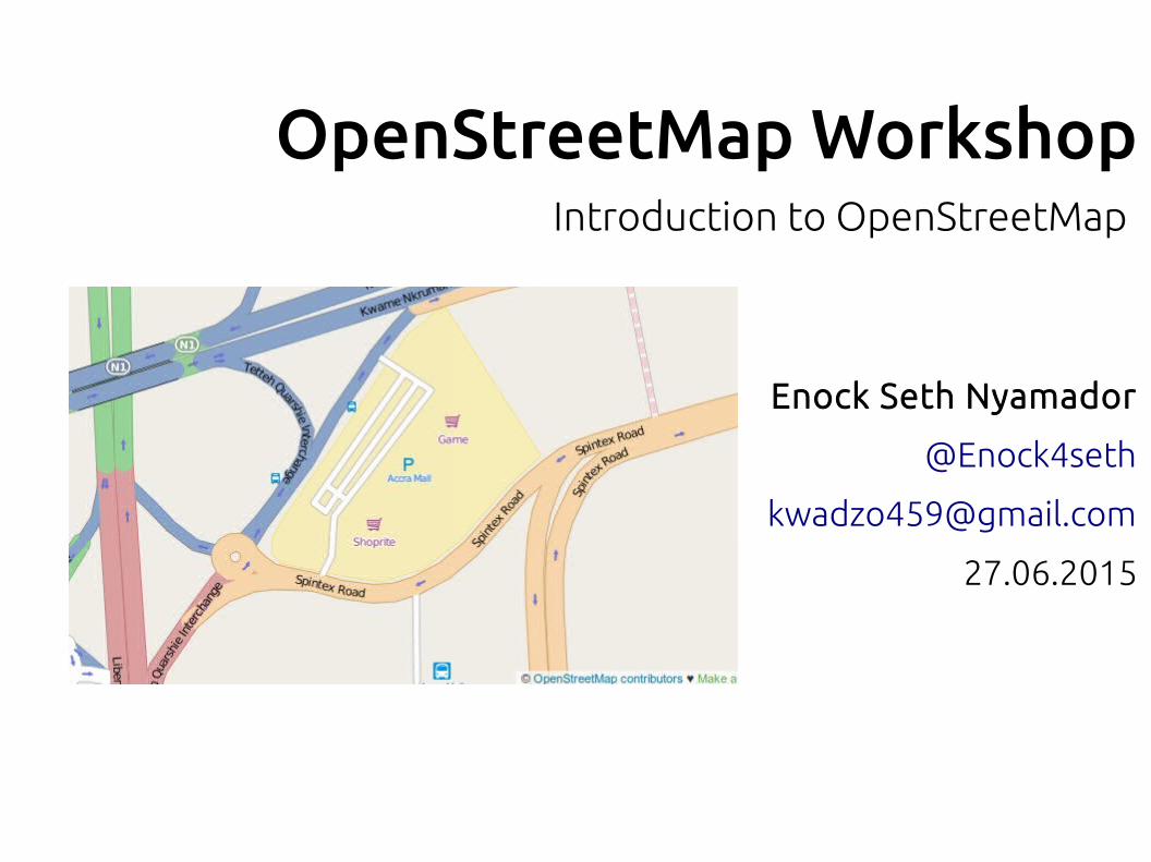
OpenStreetMap Workshop
Enock Seth Nyamador
@Enock4seth
27.06.2015
Introduction to OpenStreetMap
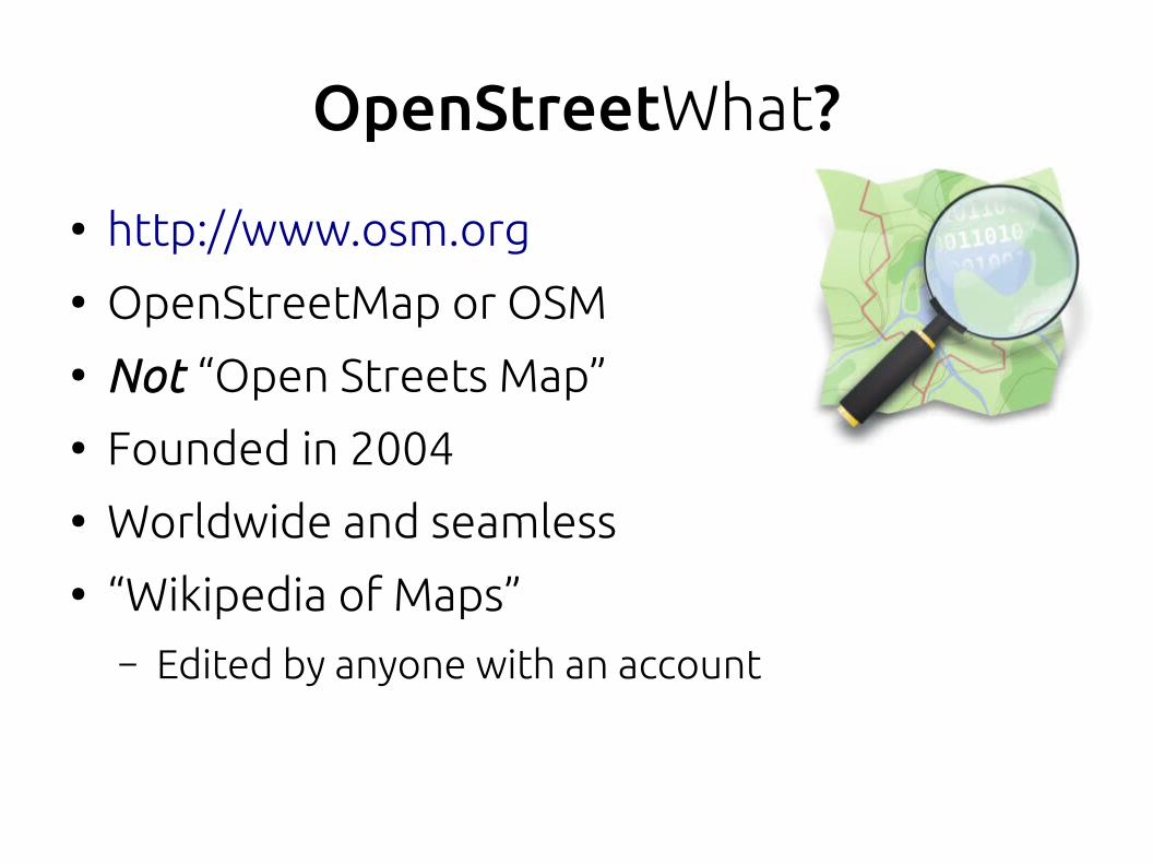
OpenStreetWhat?
● http://www.osm.org● OpenStreetMap or OSM● Not “Open Streets Map”● Founded in 2004● Worldwide and seamless● “Wikipedia of Maps”
– Edited by anyone with an account
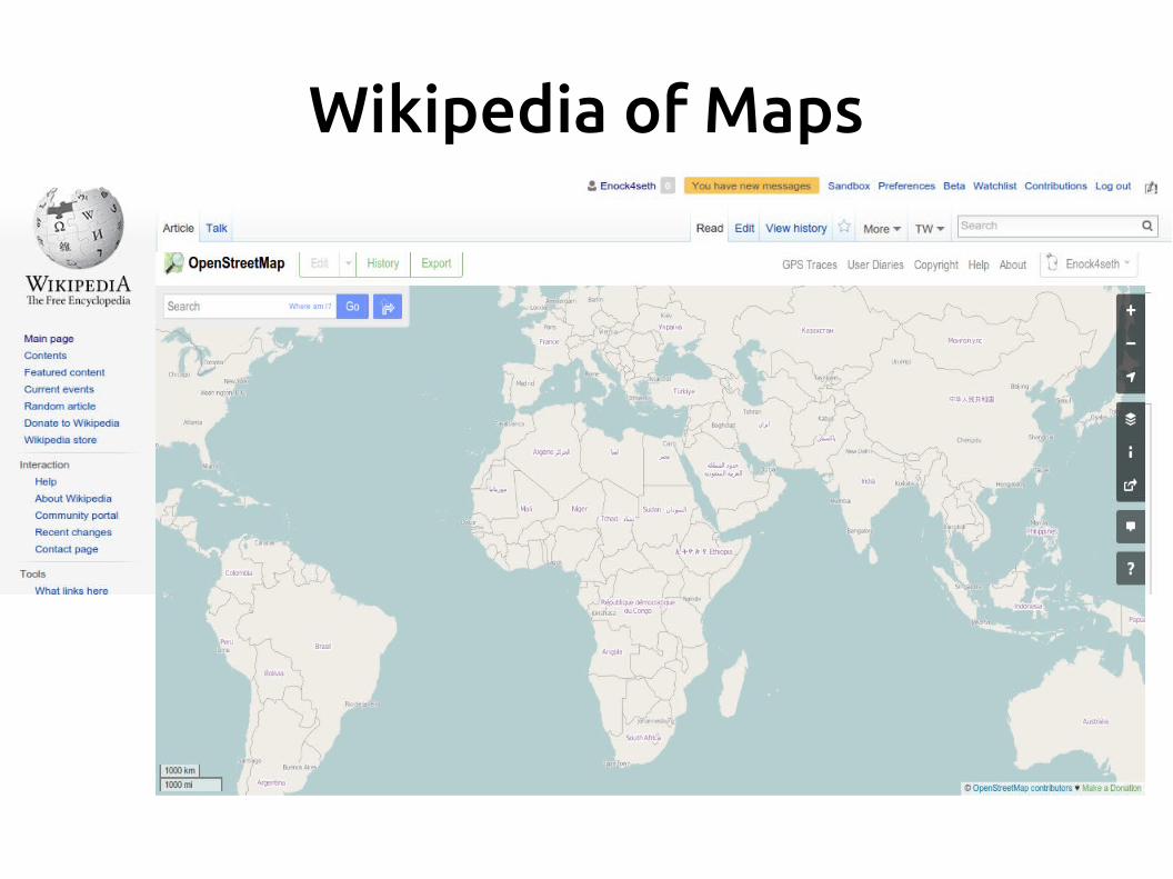
Wikipedia of Maps
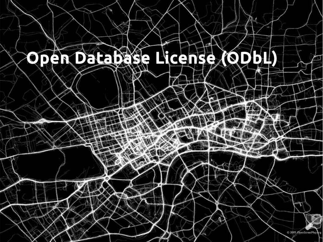
Open Database License (ODbL)
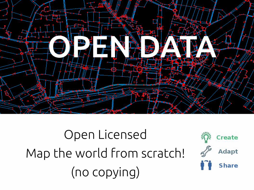
OPEN DATA
Open Licensed
Map the world from scratch!
(no copying)
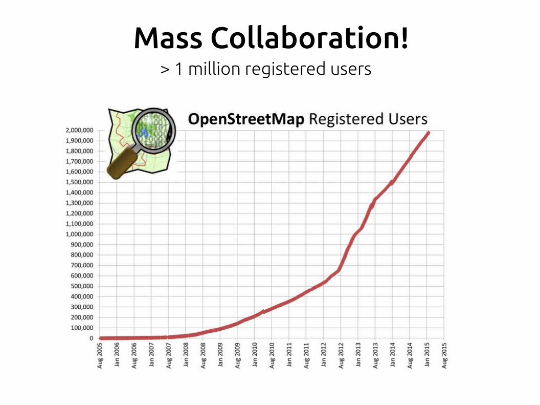
Mass Collaboration!> 1 million registered users
How does data gets in?
● Imports of open data– Imports (e.g. US: 2007 TIGER imports)
● Around the world: lots of people uploading and tidying up GPS tracks
● Tracing aerial imagery (Bing, MapBox, etc)● Local knowledge● Someone puts it there, and others look at it and
confirm that it is correct
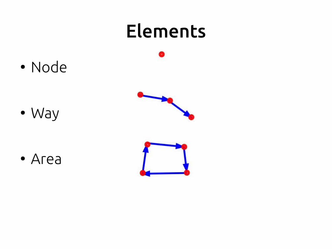
Elements
● Node
● Way
● Area
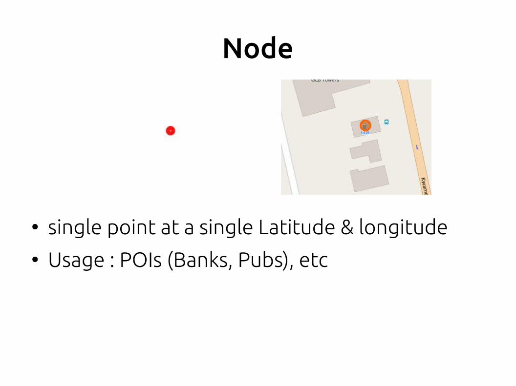
Node
● single point at a single Latitude & longitude● Usage : POIs (Banks, Pubs), etc
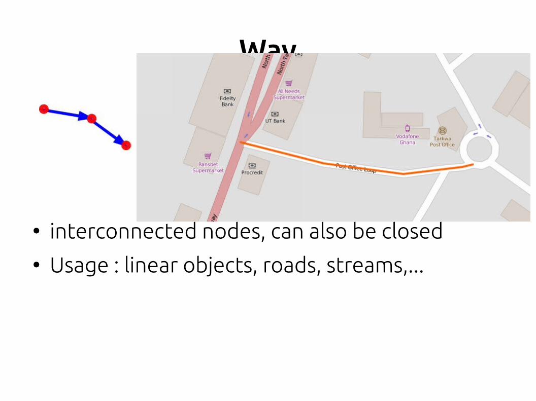
Way
● interconnected nodes, can also be closed● Usage : linear objects, roads, streams,...
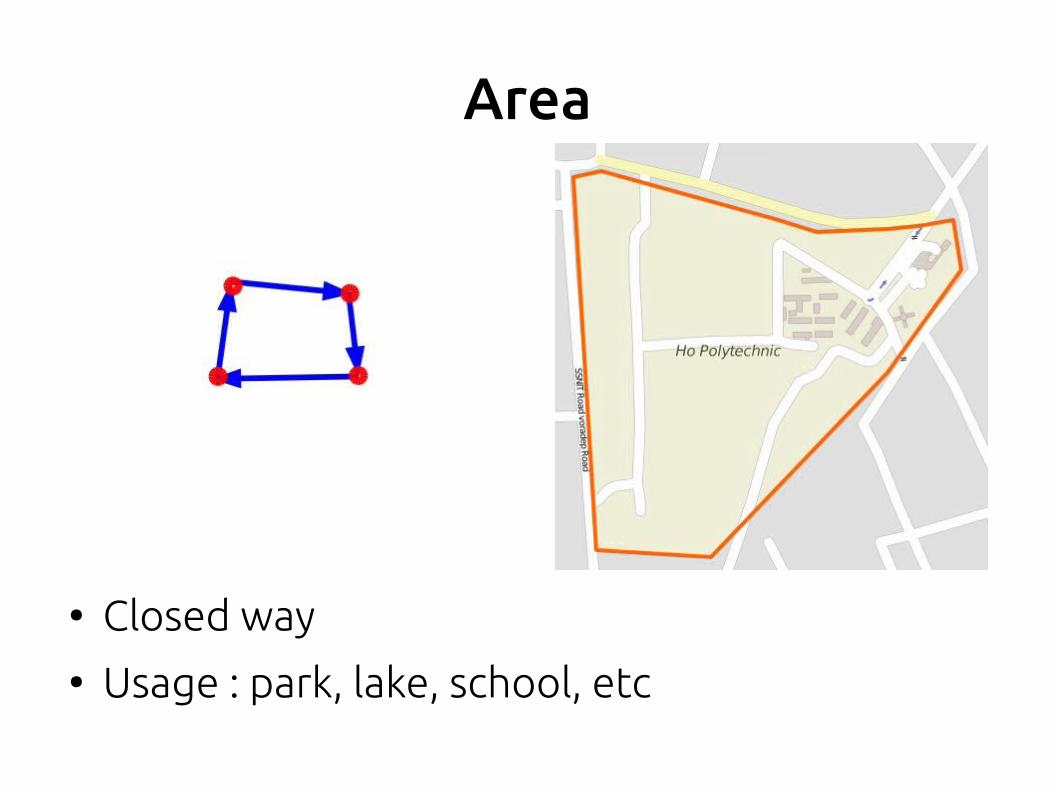
Area
● Closed way● Usage : park, lake, school, etc
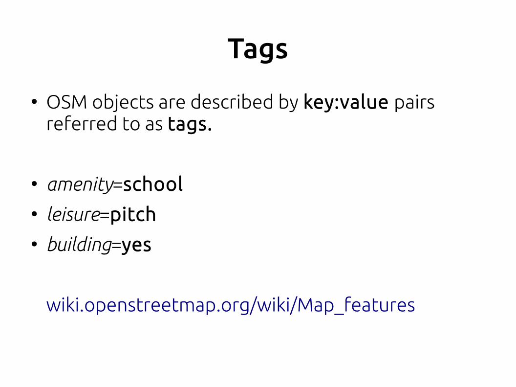
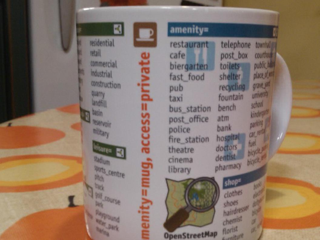
Tags
● OSM objects are described by key:value pairs referred to as tags.
● amenity=school● leisure=pitch● building=yes
wiki.openstreetmap.org/wiki/Map_features
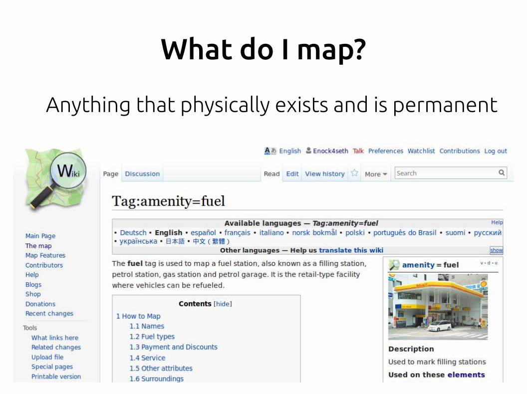
What do I map?
Anything that physically exists and is permanent
Recording dataNames of streets
Types of streets (trunk, residential, motorway)
One-way restrictions
Footpaths, tracks, pedestrian, rivers, railways
Parks, woodland, industrial areas, cemeteries
POI (pubs, cash machines, post offices,
post boxes, bus stops, toilets, supermarkets, restaurants, monuments, hotels, picnic sites, barriers, light houses, piers, sports centres, petrol stations, playgrounds, cinemas, car parks, universities, tourist information, etc etc etc
Editors
● iD
● Potlatch
● JOSM
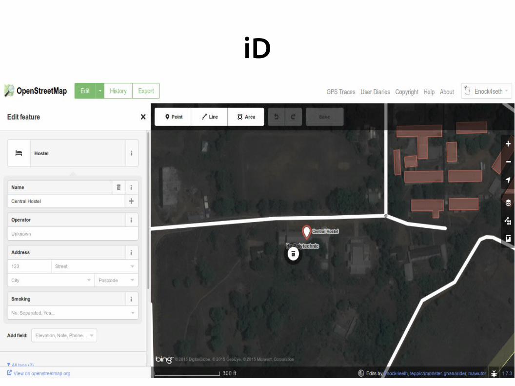
iD
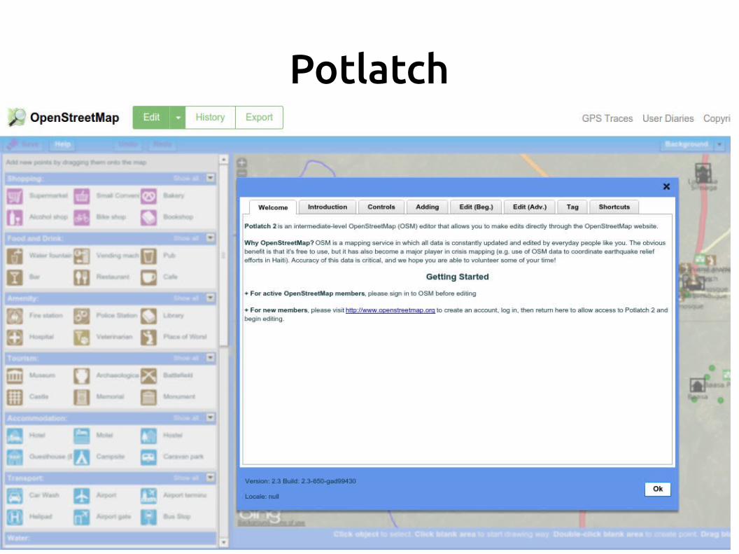
Potlatch
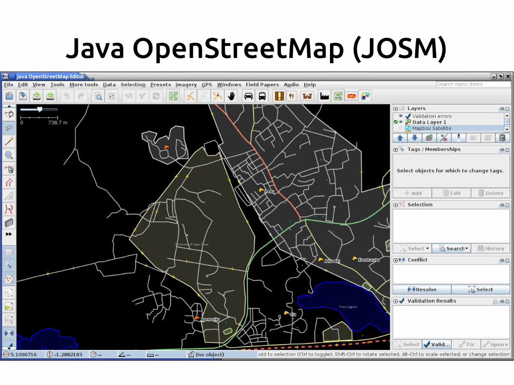
Java OpenStreetMap (JOSM)
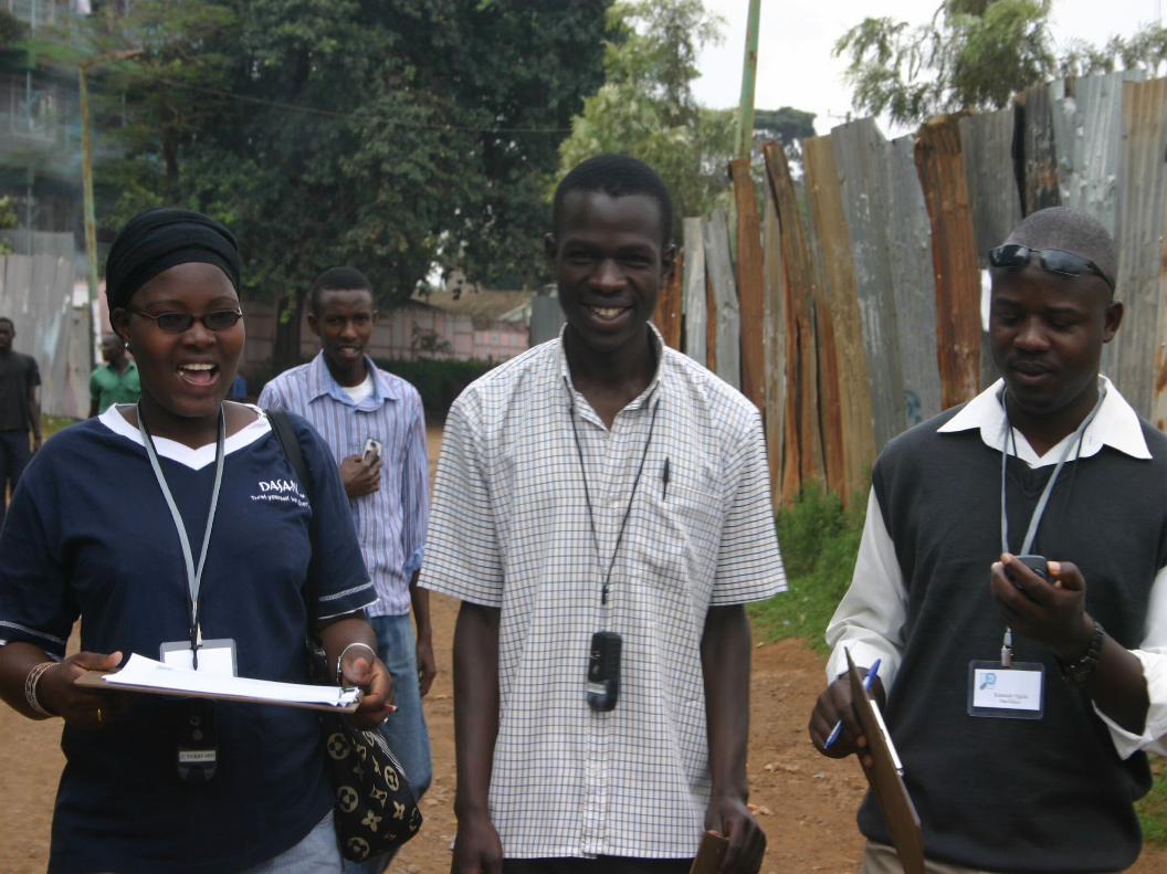
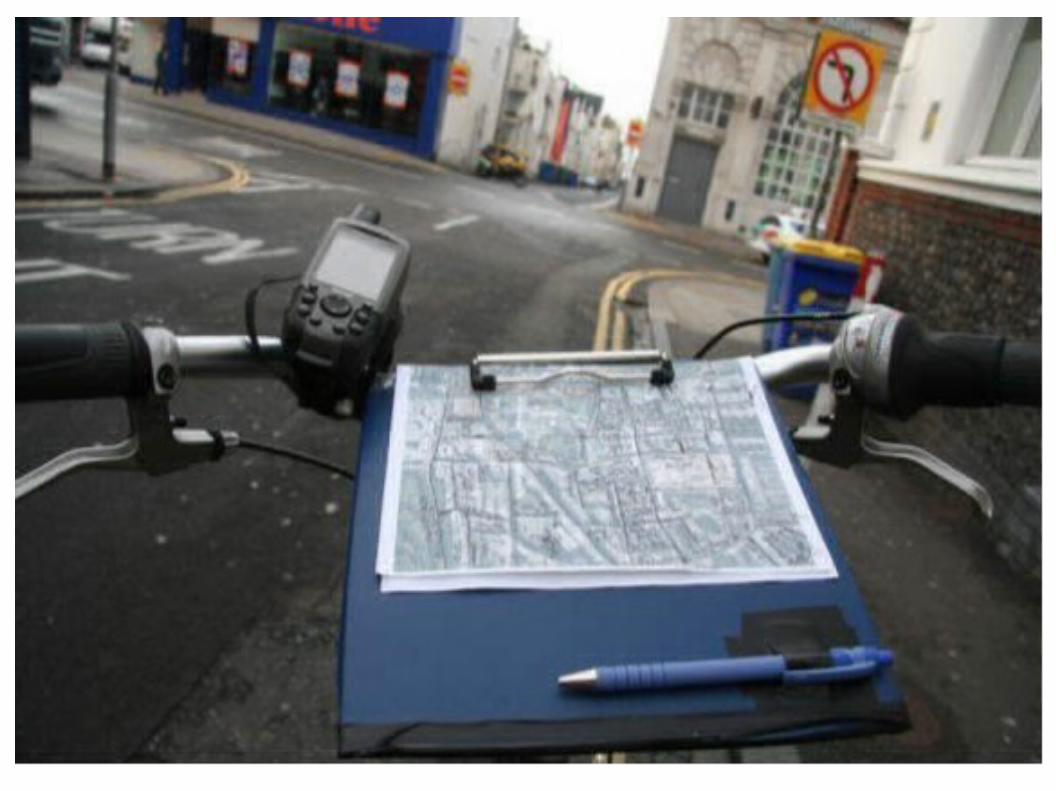
Field Mapping
● GPS devices● Smartphones● Field papers - http://fieldpapers.org/● Walking papers - http://walking-papers.org/
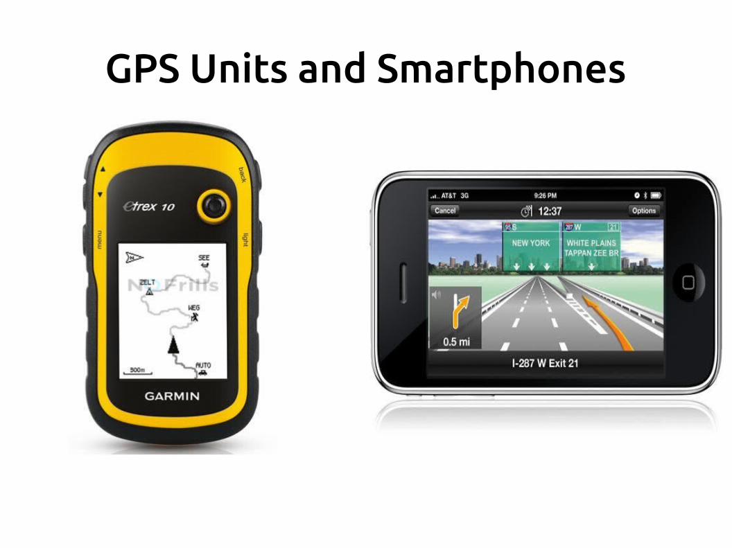
GPS Units and Smartphones

Mobile Apps
● OSMAnd (Android and iOS) - http://osmand.net/● OSM Tracker (Android and Windows) -
http://wiki.openstreetmap.org/wiki/OSMtracker
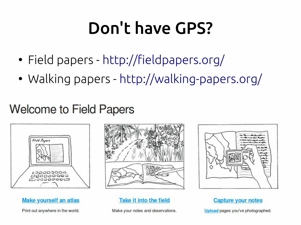
Don't have GPS?
● Field papers - http://fieldpapers.org/● Walking papers - http://walking-papers.org/
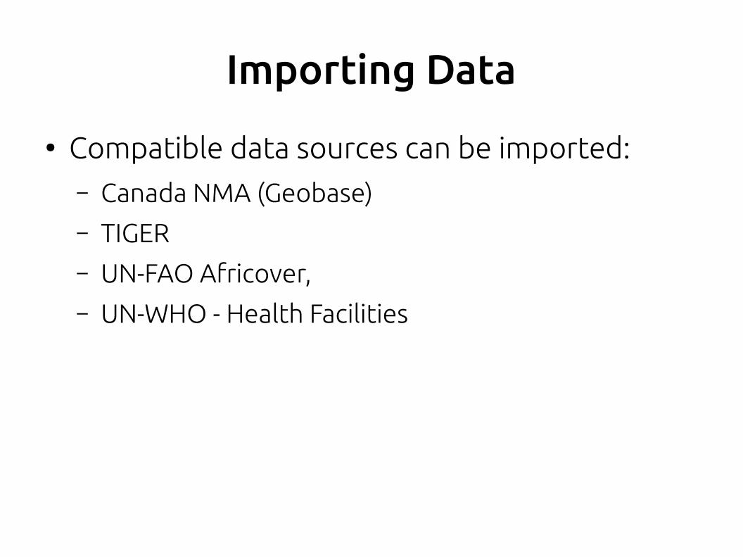
Importing Data
● Compatible data sources can be imported:– Canada NMA (Geobase)– TIGER– UN-FAO Africover, – UN-WHO - Health Facilities
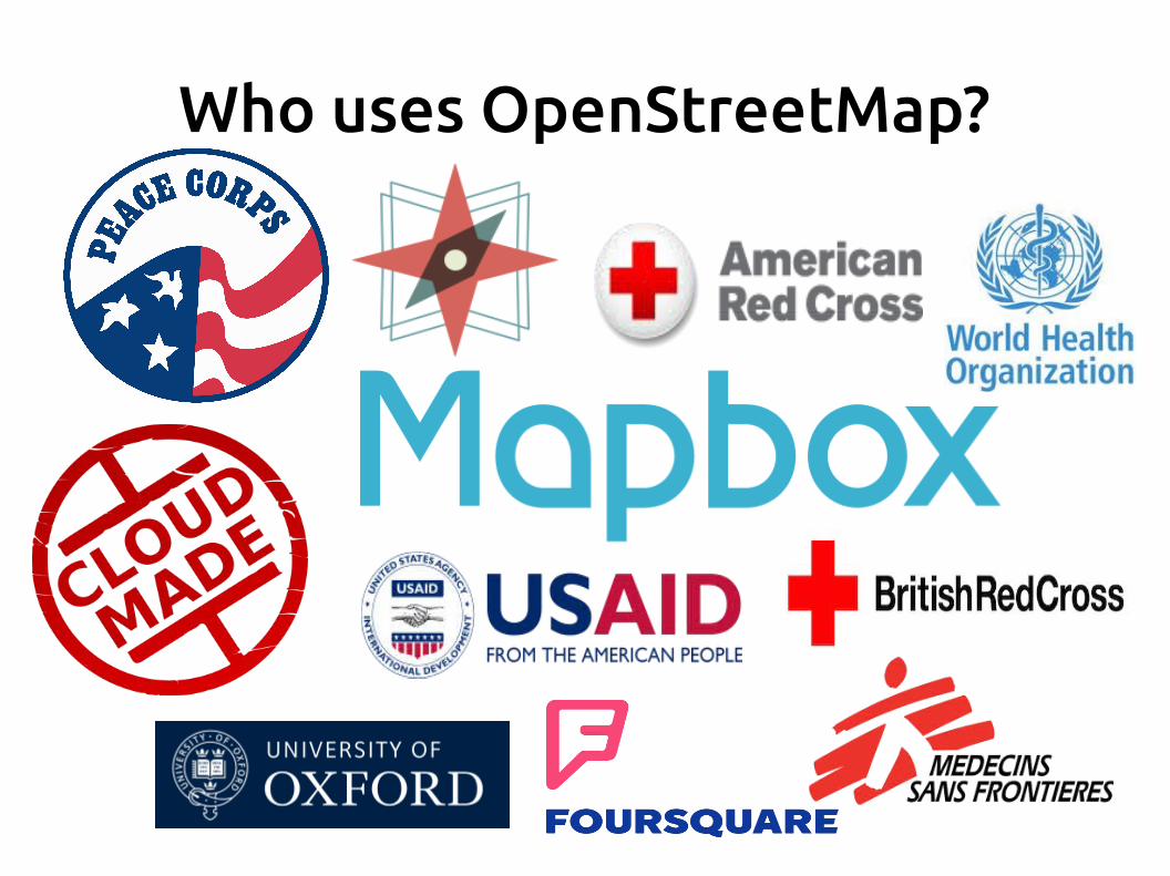
Who uses OpenStreetMap?
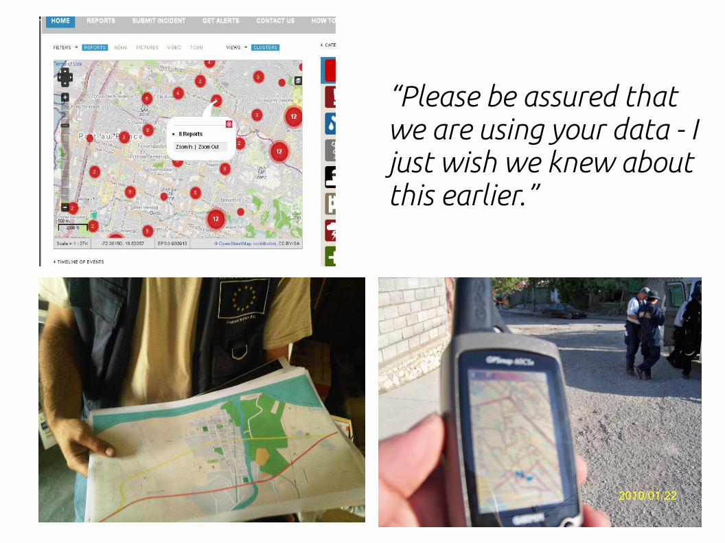
“Please be assured that we are using your data - I just wish we knew about this earlier.”
Editing OpenStreetMap
● Goto http://osm.org and click Sign Up● Where and what? Go back to http://osm.org● Find a neighborhood you know well● Think and locate places you know about – Local
Knowledge● Find something missing? Add it.● Choose and editor: iD, Potlatch, JOSM● Save regularly.
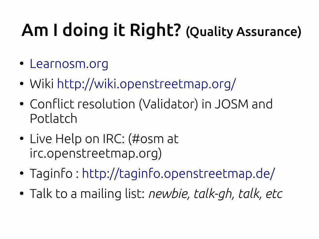
Am I doing it Right? (Quality Assurance)
● Learnosm.org● Wiki http://wiki.openstreetmap.org/● Conflict resolution (Validator) in JOSM and
Potlatch● Live Help on IRC: (#osm at
irc.openstreetmap.org)● Taginfo : http://taginfo.openstreetmap.de/● Talk to a mailing list: newbie, talk-gh, talk, etc
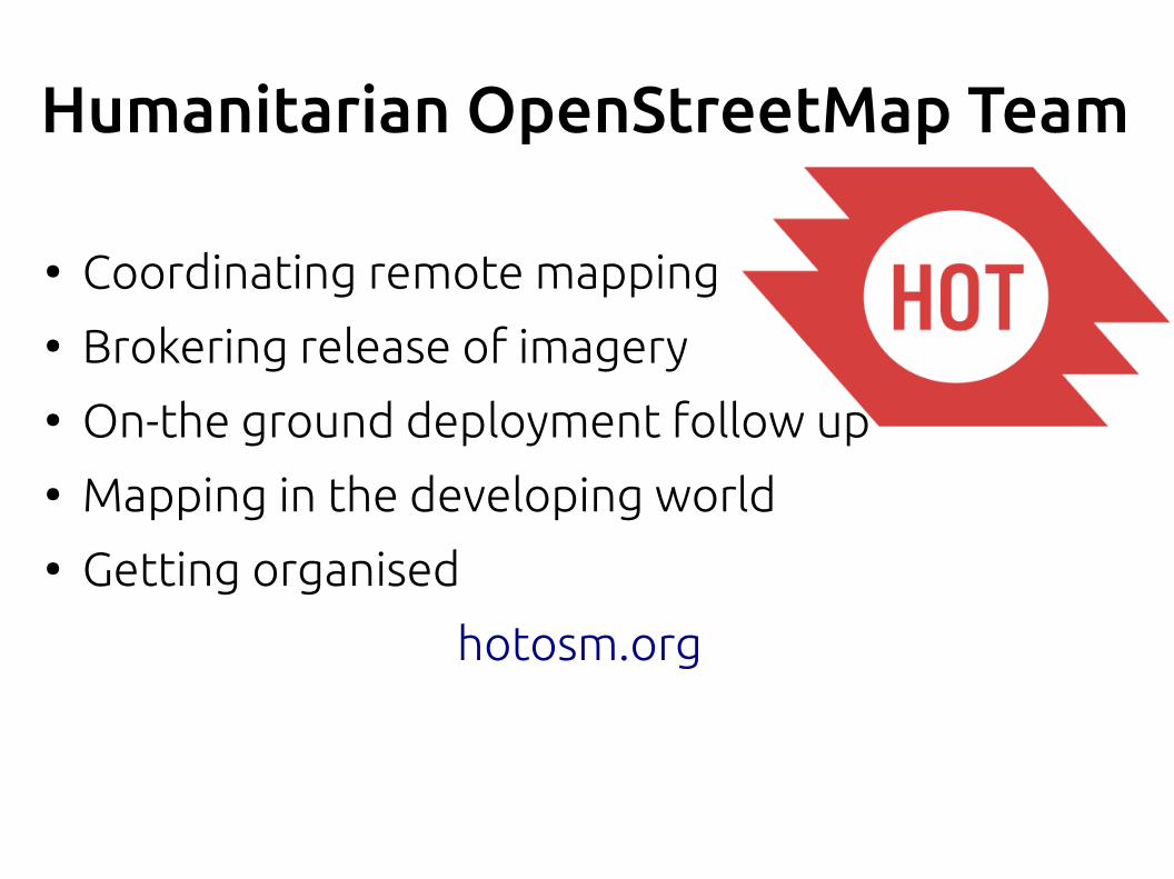
Humanitarian OpenStreetMap Team
● Coordinating remote mapping● Brokering release of imagery● On-the ground deployment follow up● Mapping in the developing world● Getting organised
hotosm.org
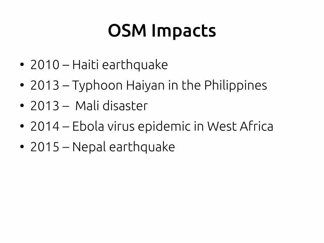
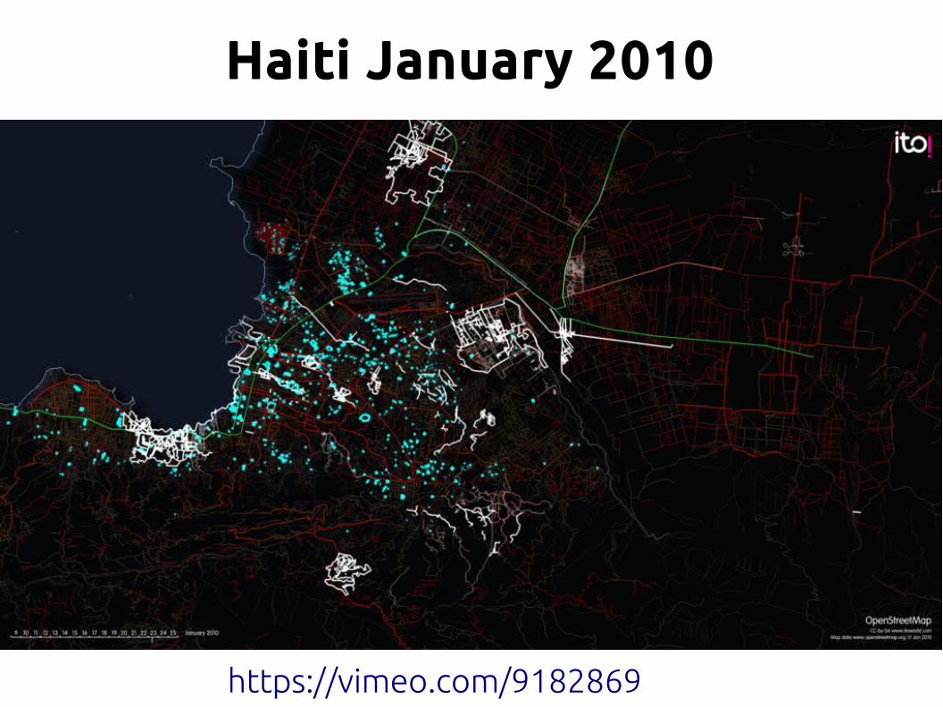
OSM Impacts
● 2010 – Haiti earthquake● 2013 – Typhoon Haiyan in the Philippines● 2013 – Mali disaster● 2014 – Ebola virus epidemic in West Africa● 2015 – Nepal earthquake
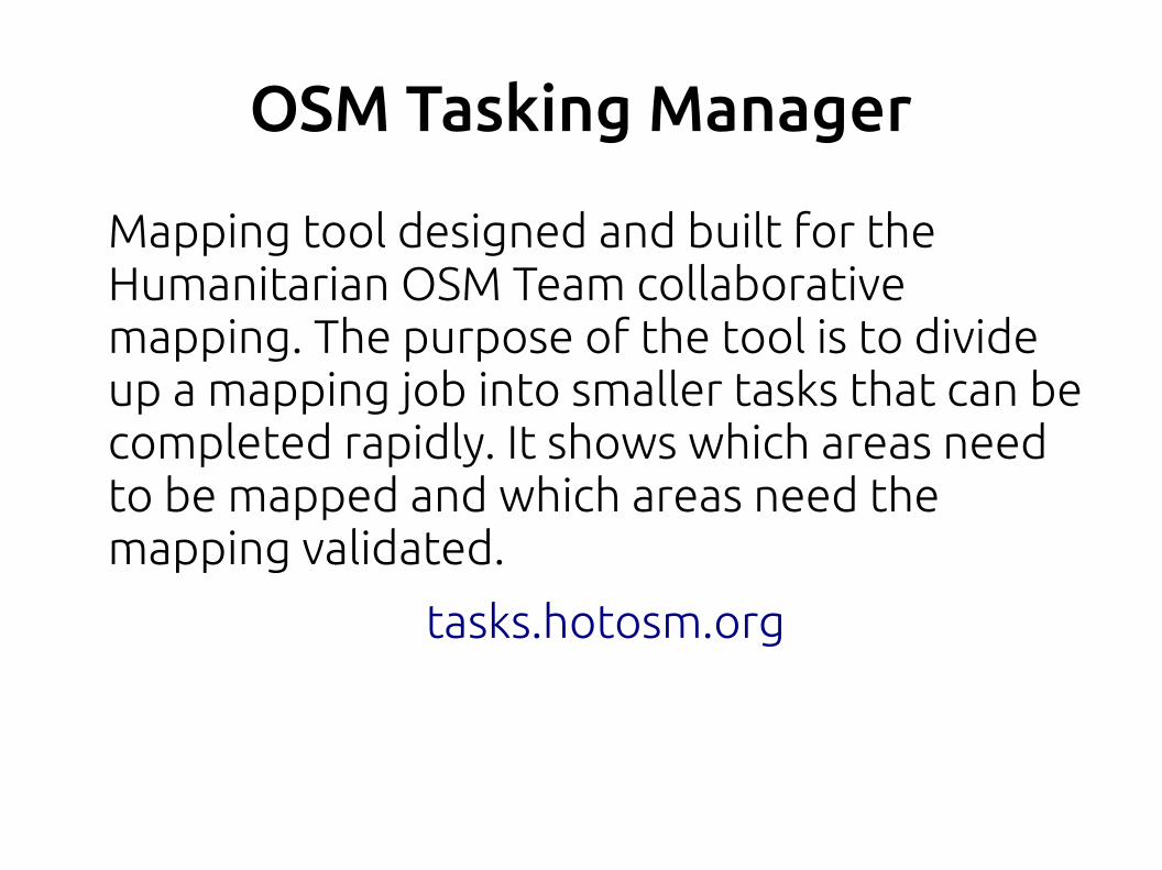
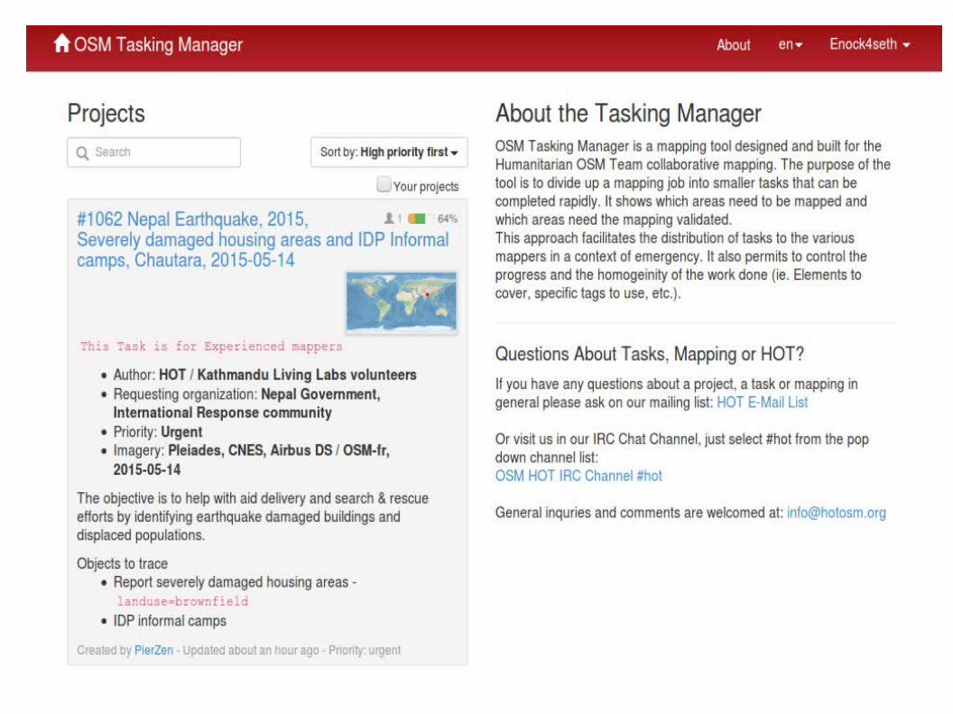
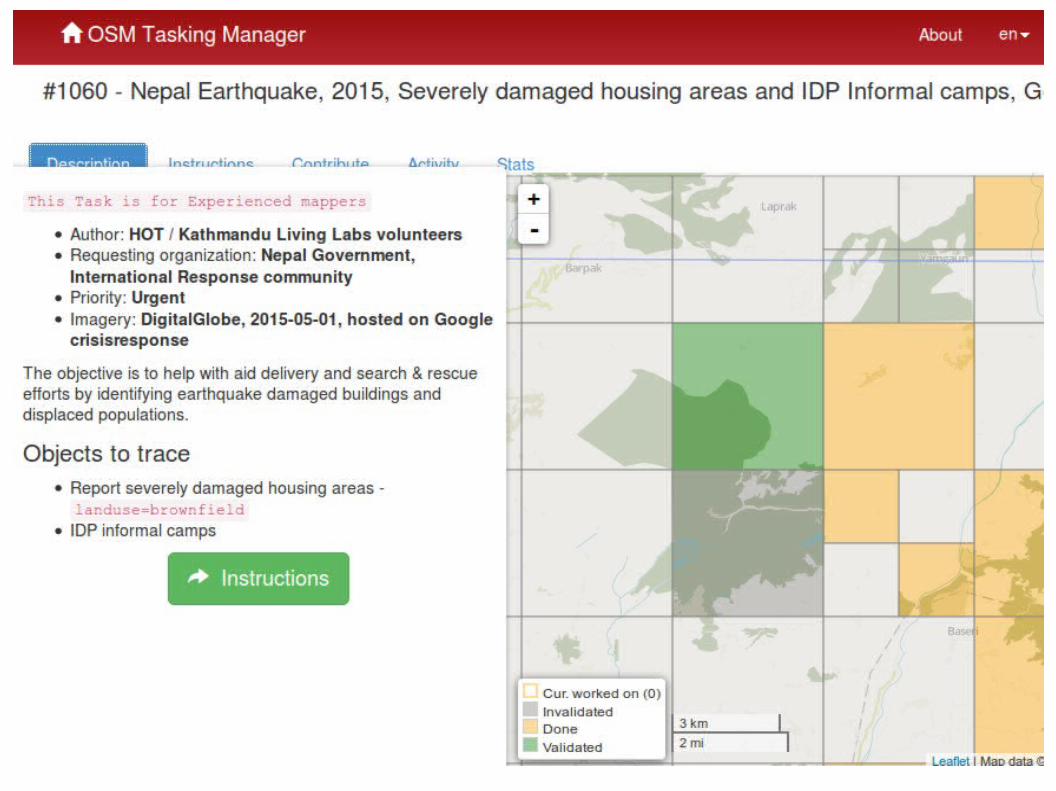
OSM Tasking Manager
Mapping tool designed and built for the Humanitarian OSM Team collaborative mapping. The purpose of the tool is to divide up a mapping job into smaller tasks that can be completed rapidly. It shows which areas need to be mapped and which areas need the mapping validated.
tasks.hotosm.org
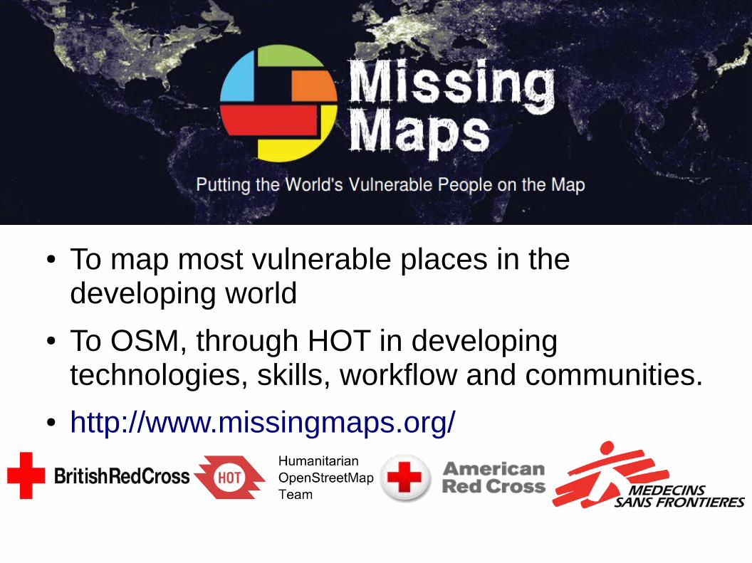
Missing Maps
● To map most vulnerable places in the developing world
● To OSM, through HOT in developing technologies, skills, workflow and communities.
● http://www.missingmaps.org/
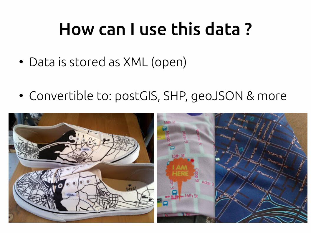
How can I use this data ?
● Data is stored as XML (open)
● Convertible to: postGIS, SHP, geoJSON & more
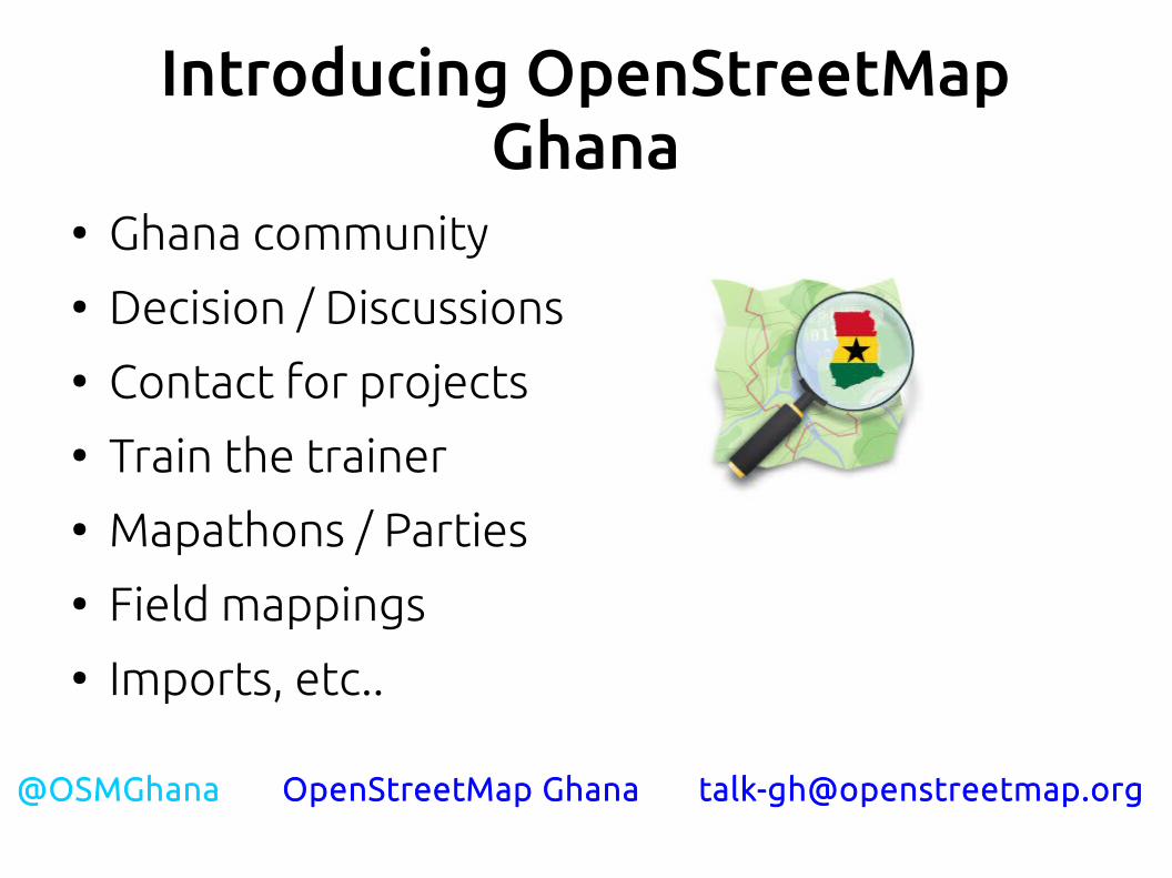
Introducing OpenStreetMap Ghana
● Ghana community● Decision / Discussions● Contact for projects● Train the trainer● Mapathons / Parties● Field mappings● Imports, etc..
@OSMGhana OpenStreetMap Ghana [email protected]
Resources
● LearnOSM - http://learnosm.org/en/
● MapGive - http://mapgive.state.gov/
● OSM Wiki - http://wiki.openstreetmap.org/
● IRC (#osm, #hot)
References
● Mele Sax-Barnett, “An Introduction to OpenStreetMap” - State of the Map US 2014
● Will Skora, “OpenStreetMap”, 2013.01.24● Harry Wood, “Tzedek Training OpenStreetMap”

Thank you!

@Enock4seth on twitter
enockseth.github.io