open source gis technology overview presented by aaron racicot – gis programmer...
TRANSCRIPT
Open Source GISTechnology overview
Presented by Aaron Racicot – GIS Programmer
[email protected] February 8, 2006
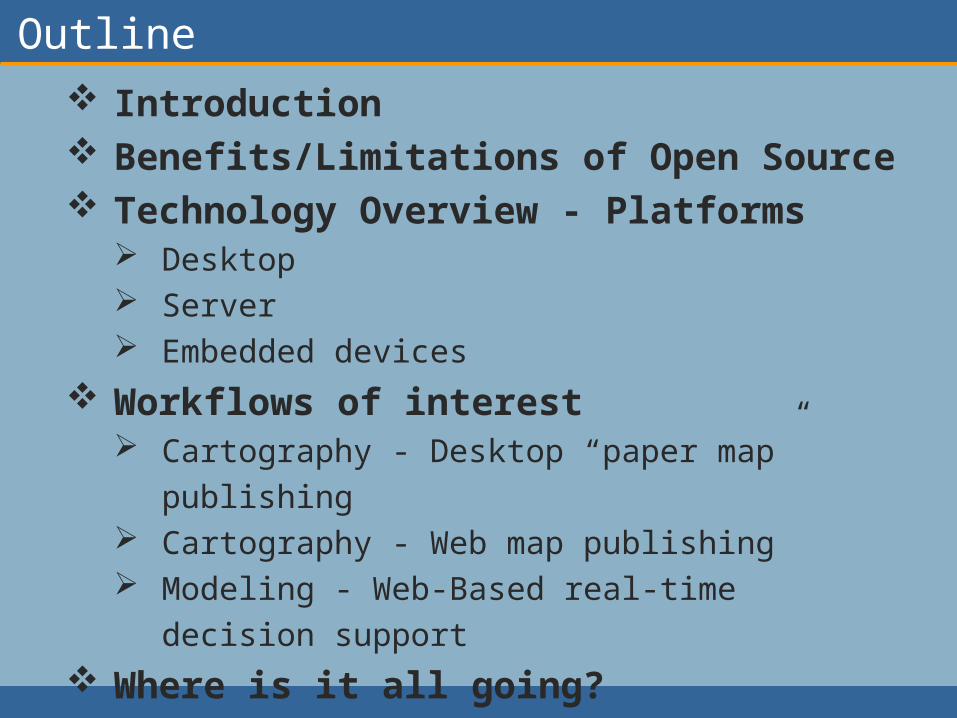
Outline Introduction Benefits/Limitations of Open Source Technology Overview - Platforms
Desktop Server Embedded devices
Workflows of interest Cartography - Desktop “paper map”
publishing Cartography - Web map publishing Modeling - Web-Based real-time decision
support
Where is it all going? Where to go for more info
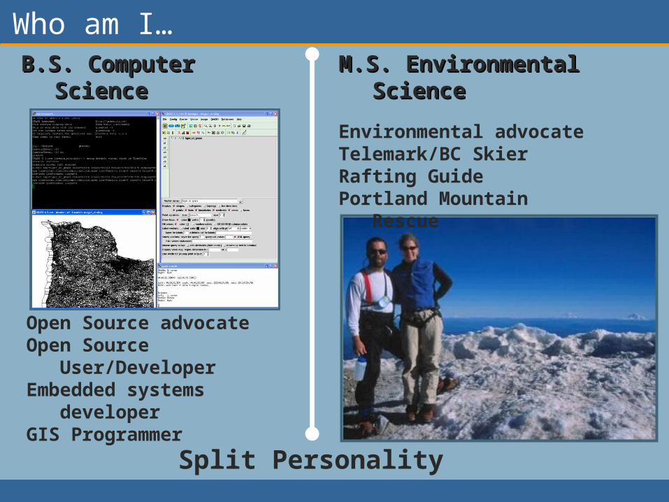
Who am I…B.S. Computer B.S. Computer
ScienceScience
Split Personality
Environmental advocate
Telemark/BC SkierRafting Guide Portland Mountain
Rescue
M.S. Environmental M.S. Environmental ScienceScience
Open Source advocateOpen Source
User/DeveloperEmbedded systems
developerGIS Programmer
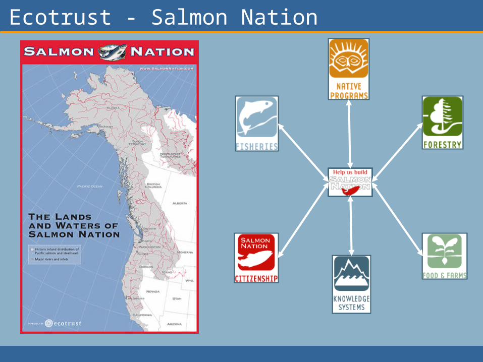
Ecotrust - Salmon Nation
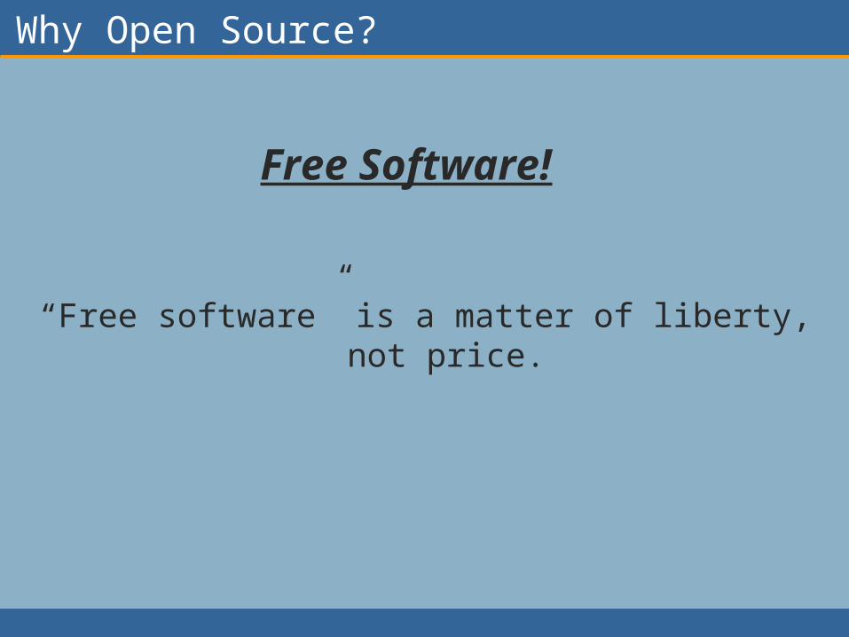
Why Open Source?
“Free software” is a matter of liberty, not price.
Free Software!
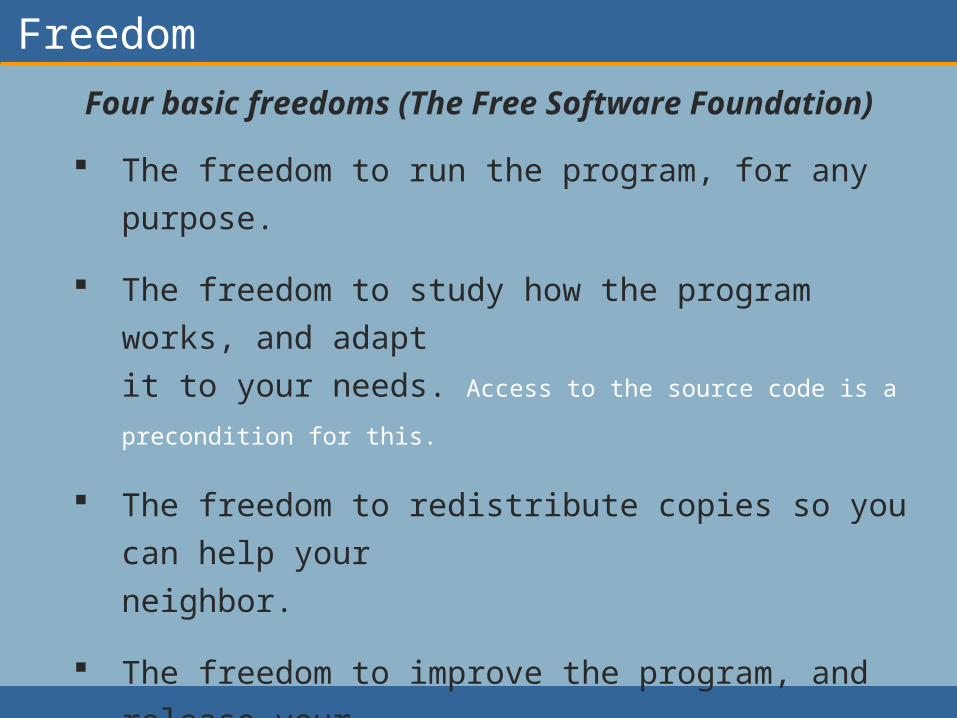
Freedom
Four basic freedoms (The Free Software Foundation)
The freedom to run the program, for any purpose.
The freedom to study how the program works,
and adapt
it to your needs. Access to the source code is a precondition
for this.
The freedom to redistribute copies so you can
help your
neighbor.
The freedom to improve the program, and release
your
improvements to the public, so that the whole
community
benefits. Access to the source code is a precondition for this.

Benefits/Limitations of Open Source
Benefits Software cost = $0 Source code is available and modifiable User and development communities flourish Development cycles are VERY fast
Limitations Total cost is NOT = $0 Many applications are not as polished as the
proprietary counterparts Compatibility with proprietary software can be an
issue

Software Stacks… Desktop
Generic Stack FOSS4G Stack Grouping
Application QGis, Grass, OSSIM, JUMP, UDig
User Interface
Application Dev. Environment
Eclipse, QT, OpenGL
High Level Utilities GeoTools, PostGIS Data Serving
High Level Scripting Languages
PHP, PERL, Python
Low Level Utilities Shplib, GEOS, OGR/GDAL, PostGIS, R-Statistics, GMT
Data Processing
Low Level Languages
C, C++, Java, Fortran System Software
Operating System
Linux, Darwin, Cygwin
Hardware Drivers
32-64 bit processor drivers
Desktop Software Stack
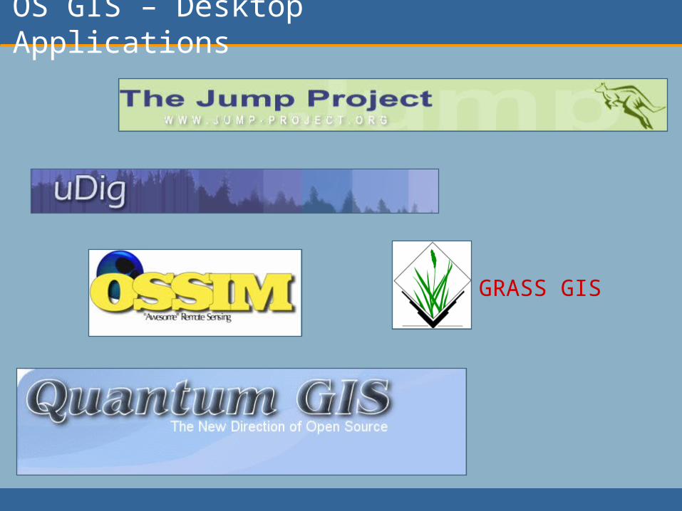
OS GIS – Desktop Applications
GRASS GIS
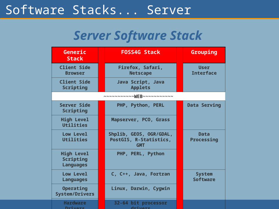
Software Stacks... Server
Server Software StackGeneric Stack FOSS4G Stack Grouping
Client Side Browser Firefox, Safari, Netscape User Interface
Client Side Scripting
Java Script, Java Applets
~~~~~~~~~~~WEB~~~~~~~~~~~
Server Side Scripting
PHP, Python, PERL Data Serving
High Level Utilities Mapserver, PCO, Grass
Low Level Utilities Shplib, GEOS, OGR/GDAL, PostGIS, R-Statistics, GMT
Data Processing
High Level Scripting Languages
PHP, PERL, Python
Low Level Languages
C, C++, Java, Fortran System Software
Operating System/Drivers
Linux, Darwin, Cygwin
Hardware Drivers 32-64 bit processor drivers
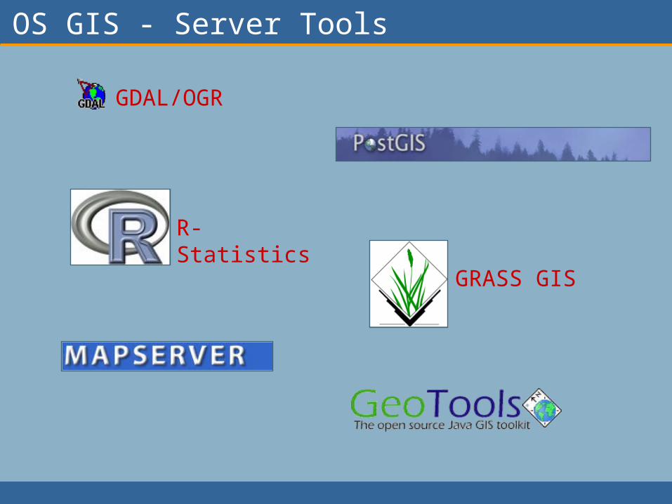
OS GIS - Server Tools
GRASS GIS
GDAL/OGR
R-Statistics

OS GIS
Important considerations Platform support (i.e. UNIX, Linux, Windows, Mac OS) Speed and efficiency Data format support Standards for interoperability (OGC specs)
Areas for improvement Separate packages all with their own strengths Linking them together is often hard Write support is often not supported for proprietary formats Ability to integrate into proprietary systems is limited (i.e.
can not link PostGIS database to ArcMap…yet) Requires multiple installs and maintenance User interfaces are often the last part of development Harder to produce traditional “paper maps”

Alternatives!
ArcReader
ArcMap/ArcGIS
ArcINFO/ArcGRID
ArcPad
ArcSDE
ArcIMS
ArcGIS Server
VB, Python
UDig,Jump,GRASS,QGis,OSSIM
UDig,Jump,GRASS,QGis,OSSIM
GRASS, OSSIM
????
PostGIS
Mapserver
GRASS
PHP, Python, Perl, C#.net, etc…
Viewing
Cartography
Analysis
Devices
Database
Web
Spatial Server
Scripting

Workflows of Interest
Most GIS applications have a similar work flow pattern…
Gather spatially explicit data
Process that data to suit the user
needs
Produce outputs useful to the end
user
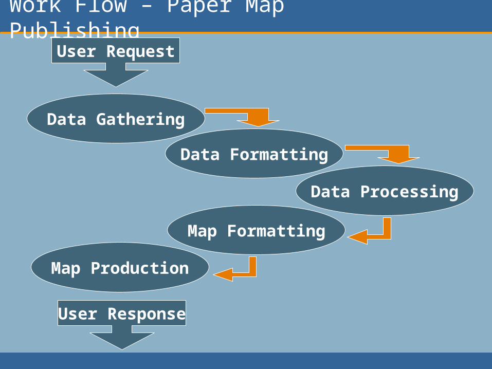
Work Flow – Paper Map Publishing
Data Gathering
Data Formatting
Data Processing
Map Formatting
Map Production
User Request
User Response
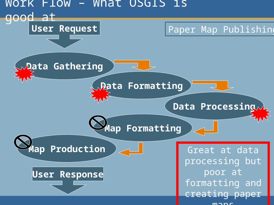
Work Flow – What OSGIS is good at
Data Gathering
Data Formatting
Data Processing
Map Formatting
Map Production
User Request
User Response
Great at data processing but
poor at formatting and creating paper maps
Paper Map Publishing

Example – Paper Map Publishing QGIS ArcMap
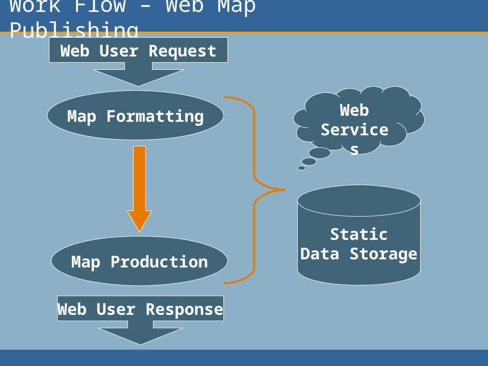
Work Flow – Web Map Publishing
Map Formatting
Map Production
Web User Request
Web User Response
StaticData Storage
WebService
s

Work Flow – What OSGIS is good at
Map Formatting
Map Production
Web User Request
Web User Response
StaticData Storage
WebService
s
Great at all aspects of traditional web-based
mapping
Web Map Publishing
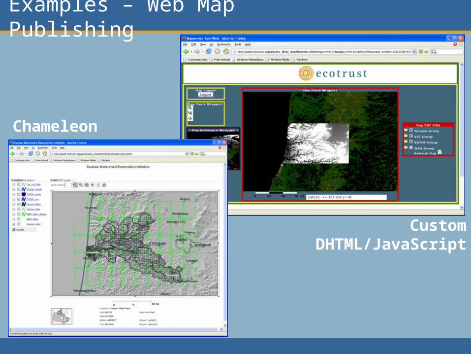
Examples – Web Map Publishing
CustomDHTML/JavaScript
Chameleon
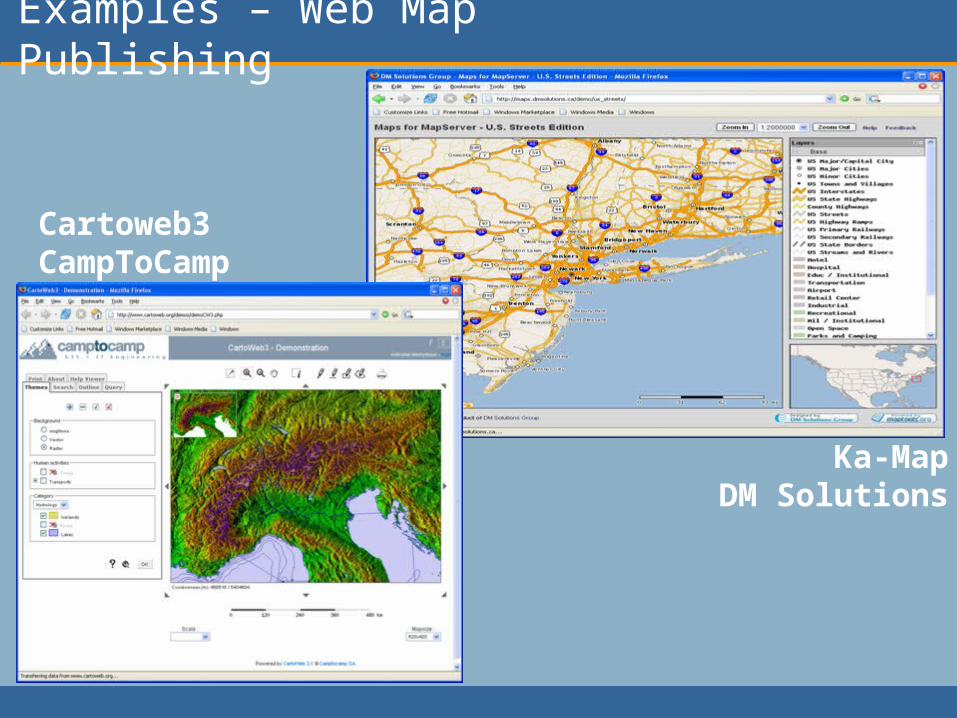
Examples – Web Map Publishing
Ka-MapDM Solutions
Cartoweb3CampToCamp

Work Flow – Real-Time Web DST
Web User Request
Web User Response
StaticData Storage
WebService
sData Gathering
Data Formatting
Data Processing
Map Formatting
Map Production
Real-Time Web Decision Support Tools
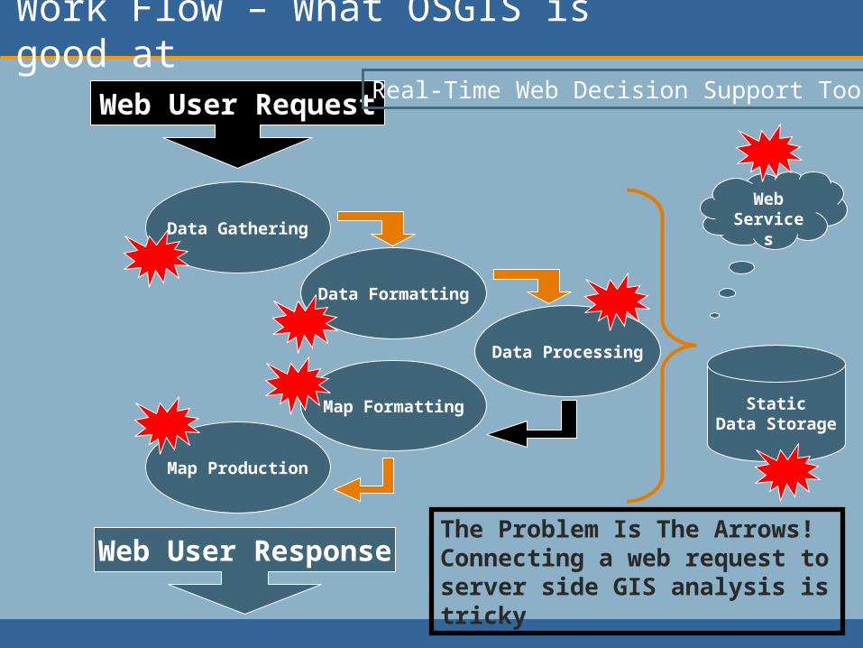
Work Flow – What OSGIS is good at
Web User Request
Web User Response
StaticData Storage
WebService
sData Gathering
Data Formatting
Data Processing
Map Formatting
Map Production
The Problem Is The Arrows! Connecting a web request to server side GIS analysis is tricky
Real-Time Web Decision Support Tools
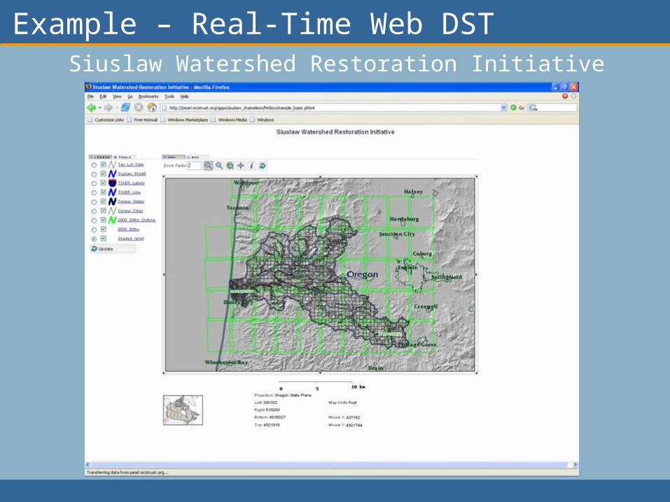
Example – Real-Time Web DSTSiuslaw Watershed Restoration Initiative
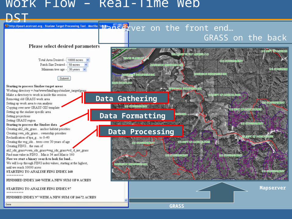
Work Flow – Real-Time Web DST
Data Gathering
Data Formatting
Data Processing
GRASS
Mapserver
Mapserver on the front end… GRASS on the back end…
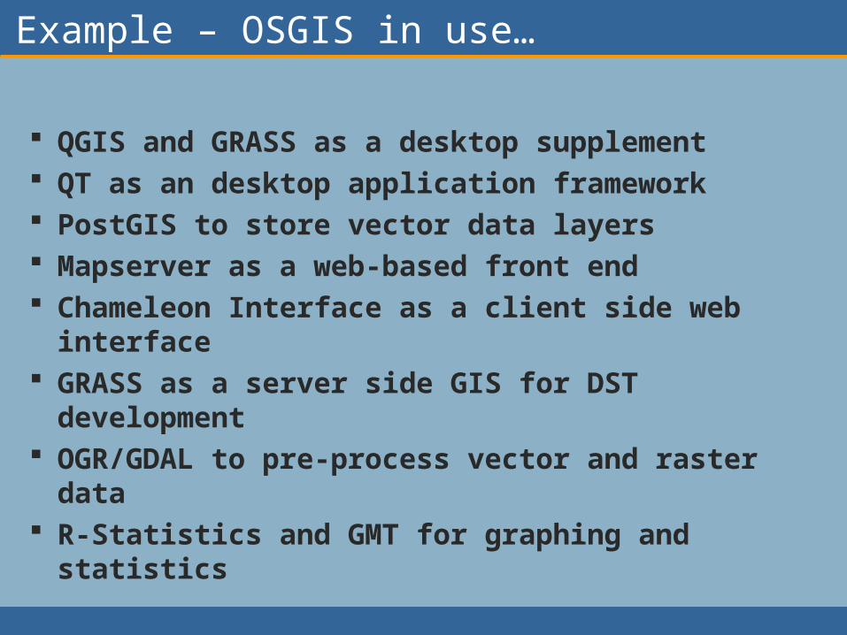
Example – OSGIS in use…
QGIS and GRASS as a desktop supplement QT as an desktop application framework PostGIS to store vector data layers Mapserver as a web-based front end Chameleon Interface as a client side web
interface GRASS as a server side GIS for DST
development OGR/GDAL to pre-process vector and raster
data R-Statistics and GMT for graphing and
statistics

Example - OCEANSystem
Chameleon
Mapserver
R-StatisticsUser driven… Web interactive tools… GIS analytical computing…
PostGIS GRASS
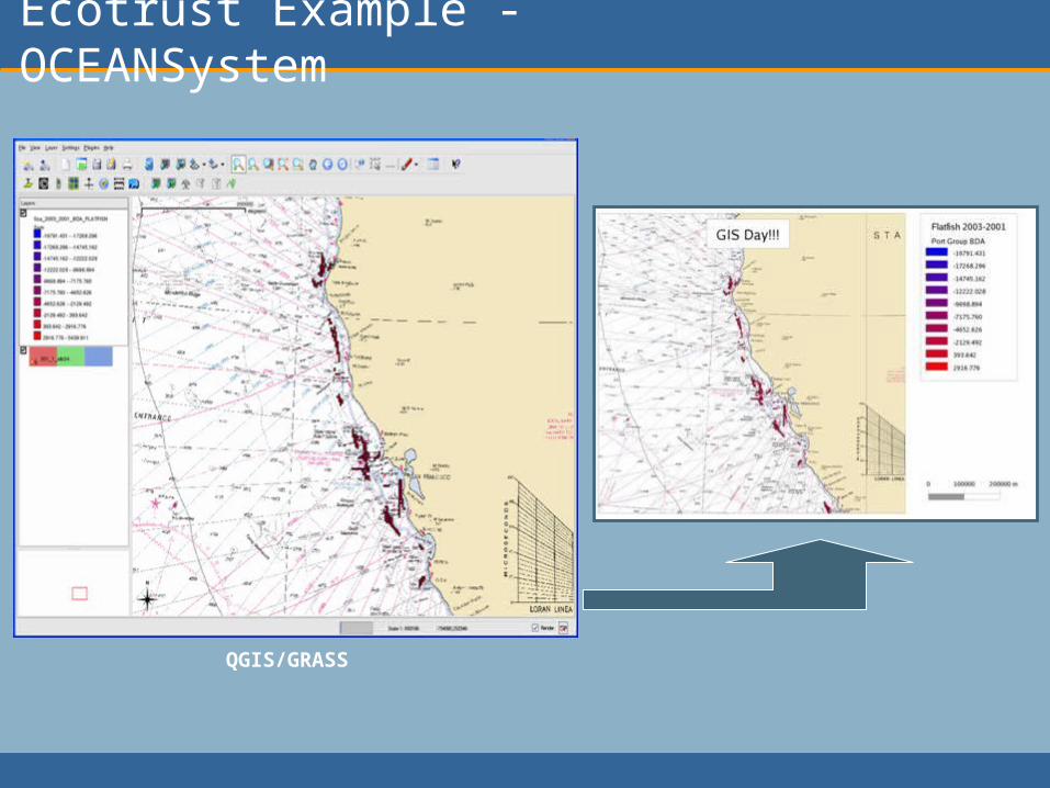
Ecotrust Example - OCEANSystem
QGIS/GRASS
Where is it all going?
• Integration of OS software across organizations
• “Google” type interfaces (smooth user experience)– AJAX driven– Streaming media– Seamless datasets
• Large datasets require more pre-processing• Pressure on large private companies to
become more responsive to end user needs• Integration of OSGIS with proprietary
software – required for migration path…• Start of services based business…
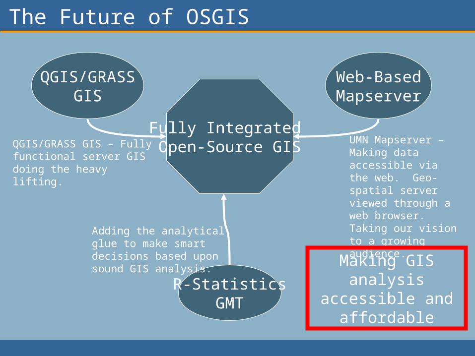
The Future of OSGIS
QGIS/GRASSGIS
Web-BasedMapserver
R-StatisticsGMT
Fully Integrated Open-Source GISQGIS/GRASS GIS – Fully
functional server GIS doing the heavy lifting.
UMN Mapserver – Making data accessible via the web. Geo-spatial server viewed through a web browser. Taking our vision to a growing audience.
Adding the analytical glue to make smart decisions based upon sound GIS analysis.
Making GIS analysis
accessible and affordable
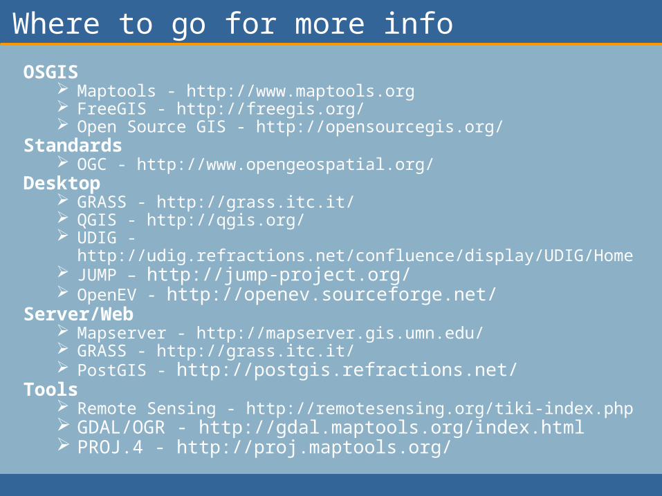
Where to go for more info
OSGIS Maptools - http://www.maptools.org FreeGIS - http://freegis.org/ Open Source GIS - http://opensourcegis.org/
Standards OGC - http://www.opengeospatial.org/
Desktop GRASS - http://grass.itc.it/ QGIS - http://qgis.org/ UDIG - http://udig.refractions.net/confluence/display/UDIG/Home JUMP – http://jump-project.org/ OpenEV - http://openev.sourceforge.net/
Server/Web Mapserver - http://mapserver.gis.umn.edu/ GRASS - http://grass.itc.it/ PostGIS - http://postgis.refractions.net/
Tools Remote Sensing - http://remotesensing.org/tiki-index.php GDAL/OGR - http://gdal.maptools.org/index.html PROJ.4 - http://proj.maptools.org/
The End
Tool Screen Shots Follow
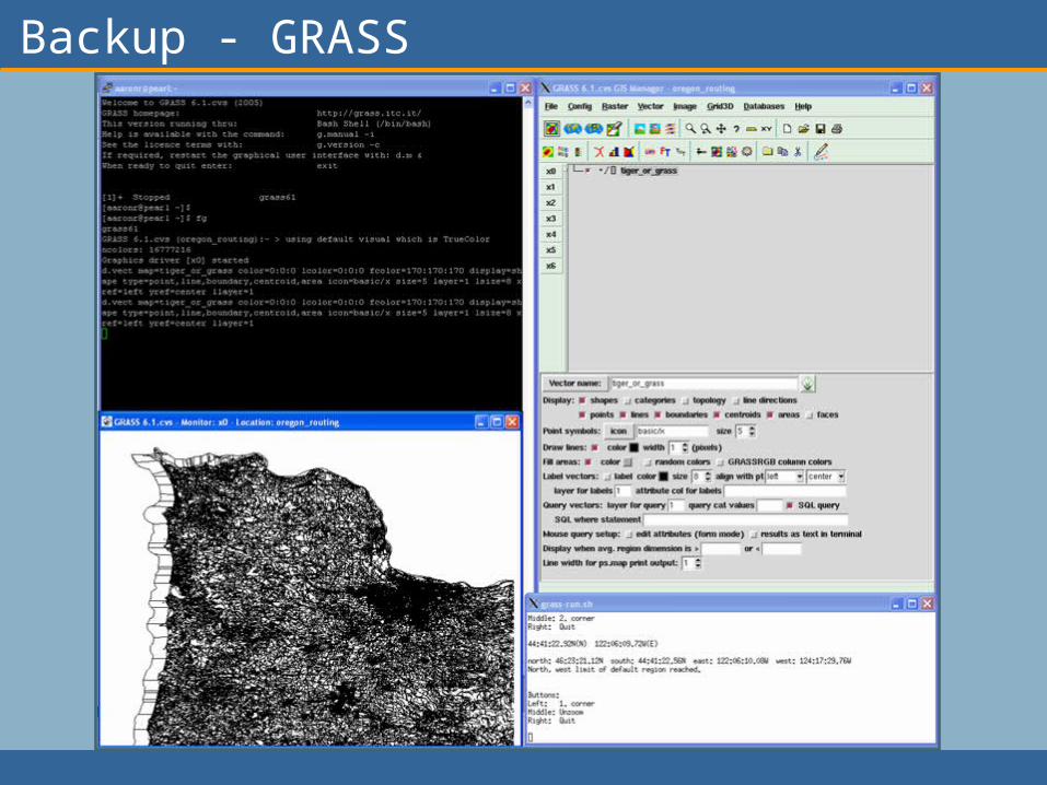
Backup - GRASS
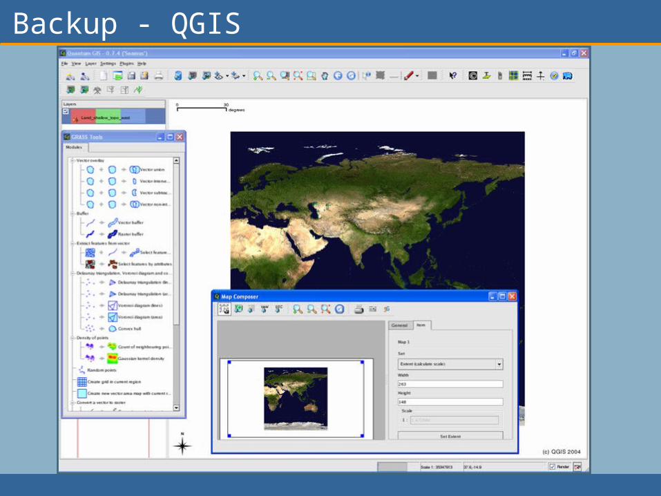
Backup - QGIS

Backup - OSSIM
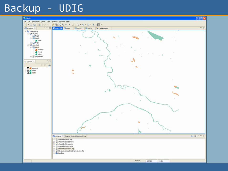
Backup - UDIG
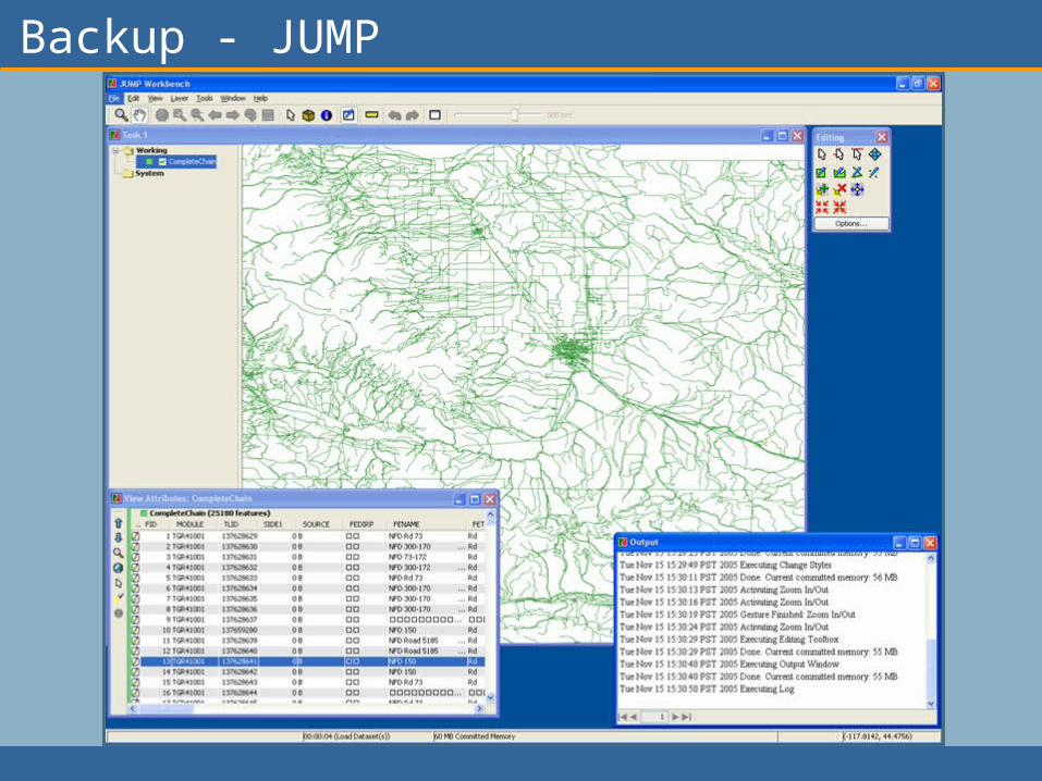
Backup - JUMP

Backup – R-Statistics
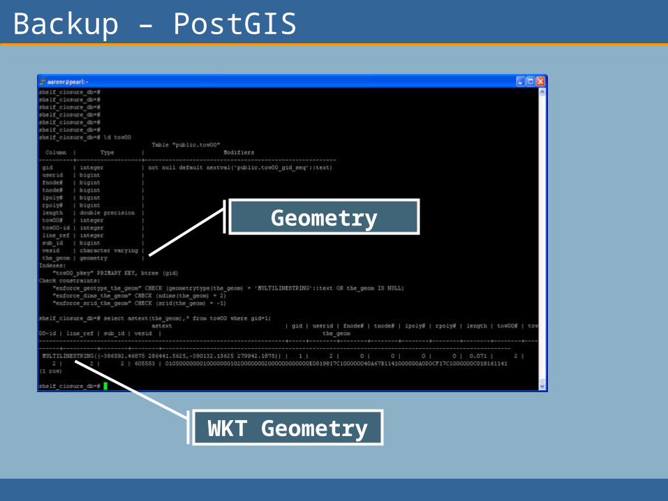
Backup – PostGIS
Geometry
WKT Geometry