ogc web services and data interoperabilityjsac.jharkhand.gov.in/pdf/edusat/lecture/22 feb...
TRANSCRIPT
OGC web services and data Interoperability
Dr. Sameer Saran
Geoinformatics Department
OGC web services and data Interoperability
Dr. SAMEER SARAN, GEOINFORMATICS DEPARTMENT
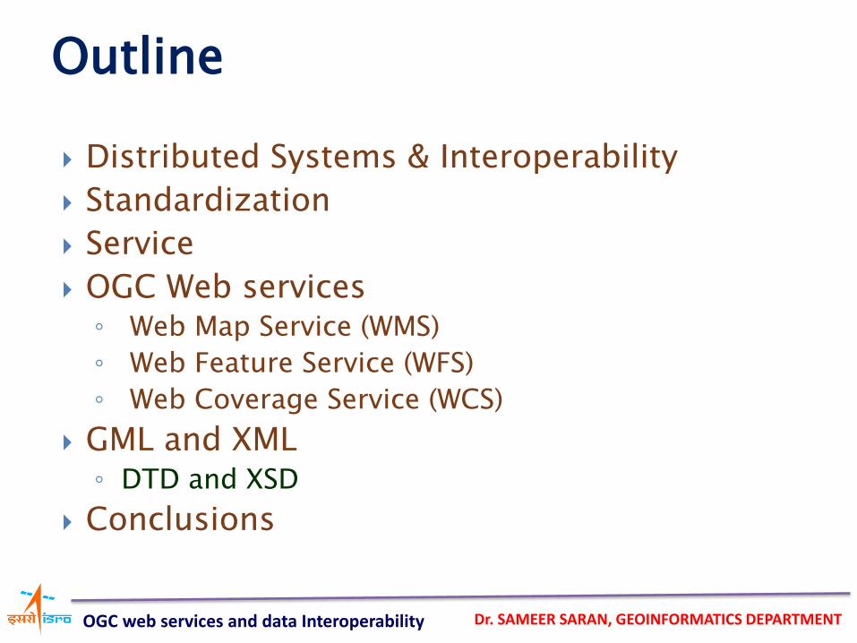
Distributed Systems & Interoperability
Standardization
Service
OGC Web services ◦ Web Map Service (WMS)
◦ Web Feature Service (WFS)
◦ Web Coverage Service (WCS)
GML and XML ◦ DTD and XSD
Conclusions
Outline
OGC web services and data Interoperability
Dr. SAMEER SARAN, GEOINFORMATICS DEPARTMENT
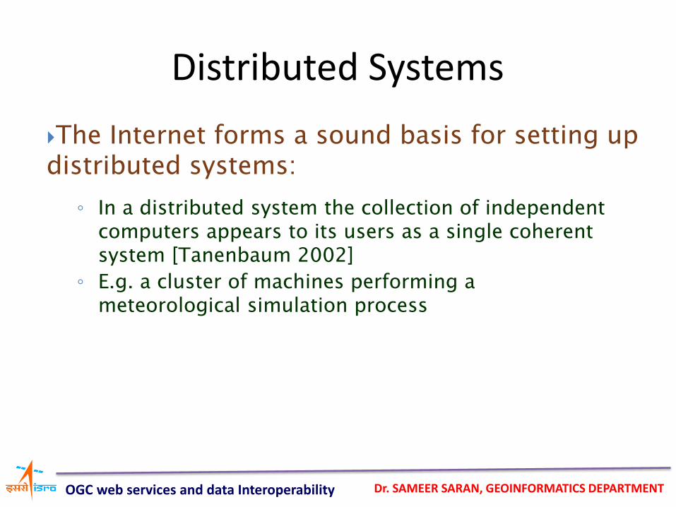
The Internet forms a sound basis for setting up distributed systems:
Distributed Systems
◦ In a distributed system the collection of independent computers appears to its users as a single coherent system [Tanenbaum 2002]
◦ E.g. a cluster of machines performing a meteorological simulation process
OGC web services and data Interoperability
Dr. SAMEER SARAN, GEOINFORMATICS DEPARTMENT
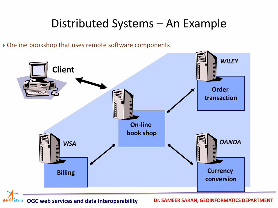
Distributed Systems – An Example
Client
On-line book shop
Currency conversion
Order transaction
Billing
WILEY
VISA OANDA
On-line bookshop that uses remote software components
OGC web services and data Interoperability
Dr. SAMEER SARAN, GEOINFORMATICS DEPARTMENT
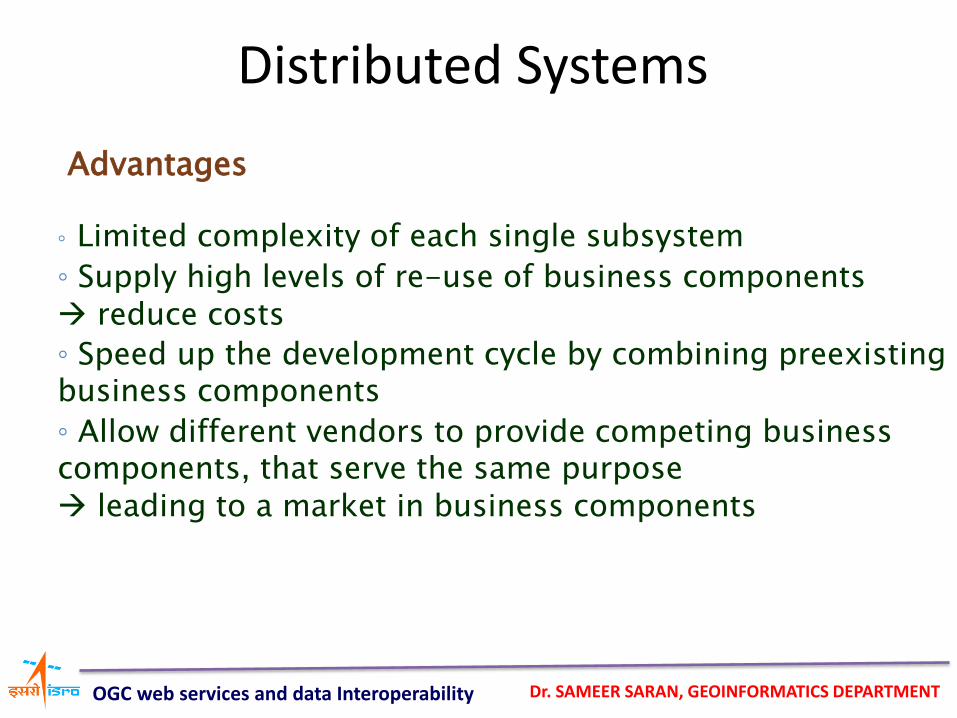
Distributed Systems
Advantages
◦ Limited complexity of each single subsystem
◦ Supply high levels of re-use of business components reduce costs
◦ Speed up the development cycle by combining preexisting business components
◦ Allow different vendors to provide competing business components, that serve the same purpose leading to a market in business components
OGC web services and data Interoperability
Dr. SAMEER SARAN, GEOINFORMATICS DEPARTMENT
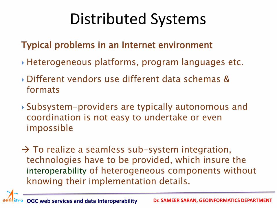
Distributed Systems
Typical problems in an Internet environment
Heterogeneous platforms, program languages etc.
Different vendors use different data schemas & formats
Subsystem-providers are typically autonomous and coordination is not easy to undertake or even impossible
To realize a seamless sub-system integration, technologies have to be provided, which insure the interoperability of heterogeneous components without knowing their implementation details.
OGC web services and data Interoperability
Dr. SAMEER SARAN, GEOINFORMATICS DEPARTMENT
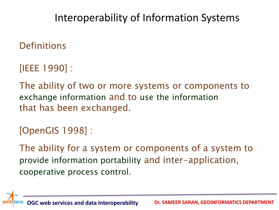
Interoperability of Information Systems
Definitions
[IEEE 1990] :
The ability of two or more systems or components to exchange information and to use the information that has been exchanged.
[OpenGIS 1998] :
The ability for a system or components of a system to provide information portability and inter-application, cooperative process control.
OGC web services and data Interoperability
Dr. SAMEER SARAN, GEOINFORMATICS DEPARTMENT
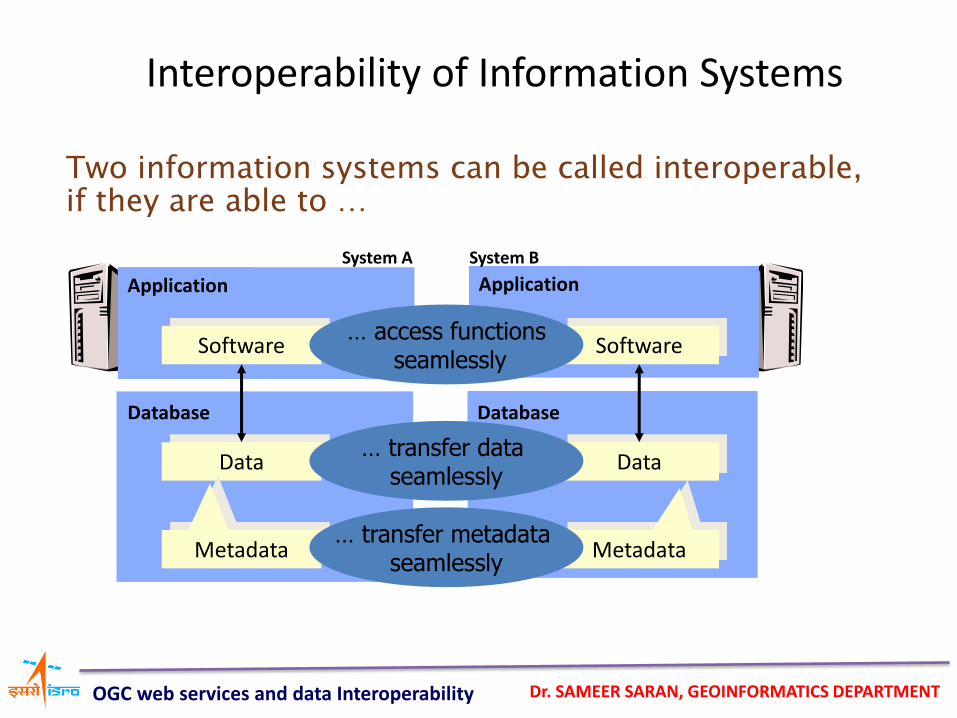
Interoperability of Information Systems
Database
Data
Metadata
Application
Software
Database
Data
Metadata
Application
Software
System A System B
… transfer metadata seamlessly
… transfer data seamlessly
… access functions seamlessly
Two information systems can be called interoperable, if they are able to …
OGC web services and data Interoperability
Dr. SAMEER SARAN, GEOINFORMATICS DEPARTMENT
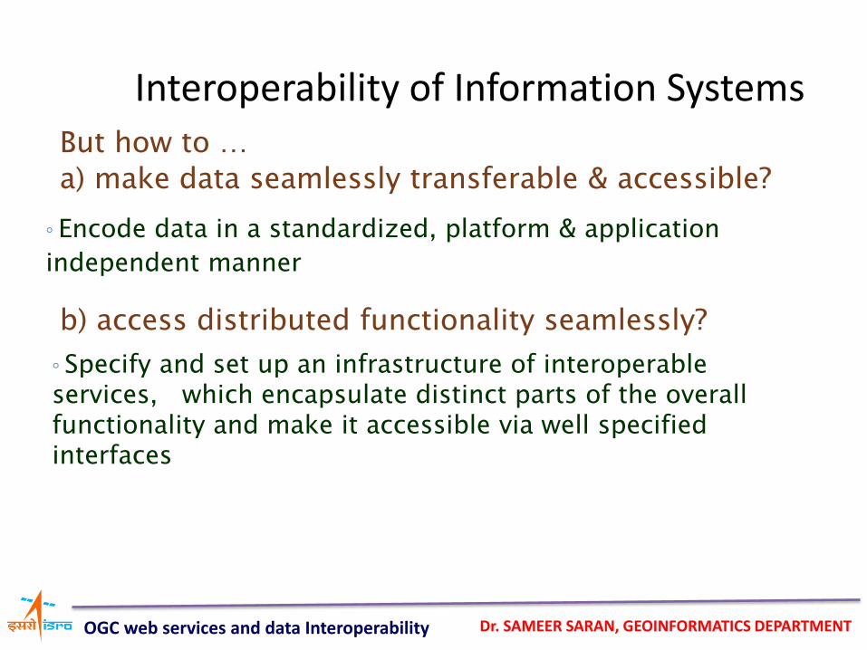
But how to …
a) make data seamlessly transferable & accessible?
b) access distributed functionality seamlessly?
Interoperability of Information Systems
◦ Specify and set up an infrastructure of interoperable services, which encapsulate distinct parts of the overall functionality and make it accessible via well specified interfaces
◦ Encode data in a standardized, platform & application
independent manner
OGC web services and data Interoperability
Dr. SAMEER SARAN, GEOINFORMATICS DEPARTMENT
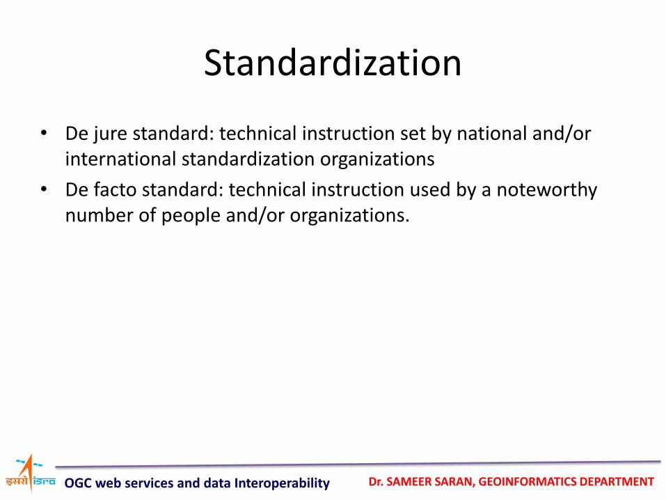
Standardization
• De jure standard: technical instruction set by national and/or international standardization organizations
• De facto standard: technical instruction used by a noteworthy number of people and/or organizations.
OGC web services and data Interoperability
Dr. SAMEER SARAN, GEOINFORMATICS DEPARTMENT
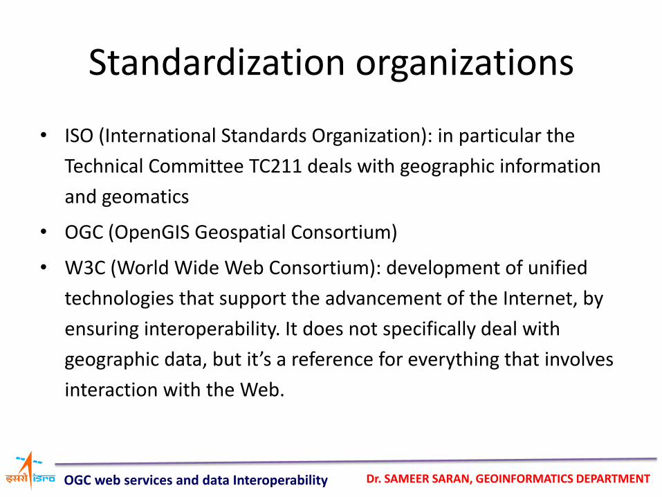
Standardization organizations
• ISO (International Standards Organization): in particular the
Technical Committee TC211 deals with geographic information
and geomatics
• OGC (OpenGIS Geospatial Consortium)
• W3C (World Wide Web Consortium): development of unified
technologies that support the advancement of the Internet, by
ensuring interoperability. It does not specifically deal with
geographic data, but it’s a reference for everything that involves
interaction with the Web.
OGC web services and data Interoperability
Dr. SAMEER SARAN, GEOINFORMATICS DEPARTMENT
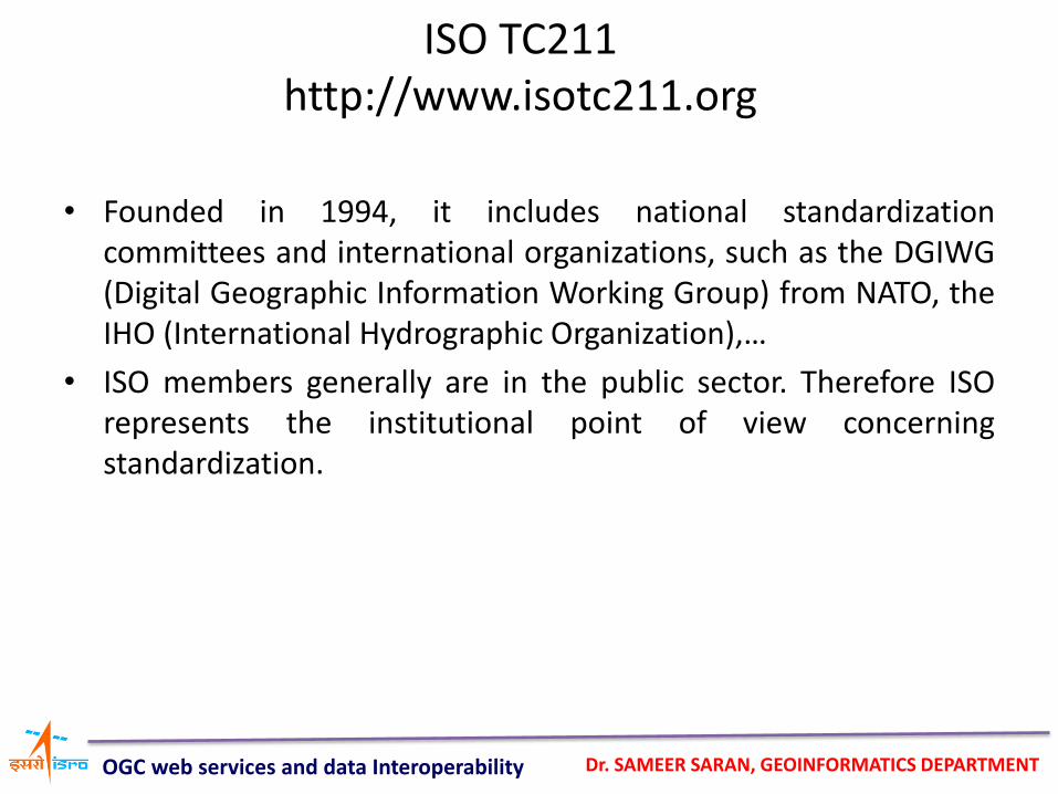
ISO TC211 http://www.isotc211.org
• Founded in 1994, it includes national standardization committees and international organizations, such as the DGIWG (Digital Geographic Information Working Group) from NATO, the IHO (International Hydrographic Organization),…
• ISO members generally are in the public sector. Therefore ISO represents the institutional point of view concerning standardization.
OGC web services and data Interoperability
Dr. SAMEER SARAN, GEOINFORMATICS DEPARTMENT
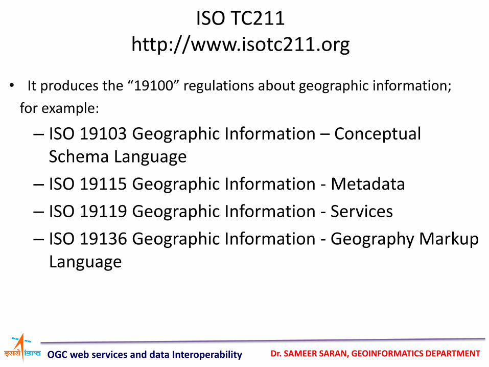
• It produces the “19100” regulations about geographic information;
for example:
– ISO 19103 Geographic Information – Conceptual Schema Language
– ISO 19115 Geographic Information - Metadata
– ISO 19119 Geographic Information - Services
– ISO 19136 Geographic Information - Geography Markup Language
ISO TC211 http://www.isotc211.org
OGC web services and data Interoperability
Dr. SAMEER SARAN, GEOINFORMATICS DEPARTMENT
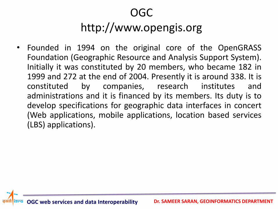
OGC http://www.opengis.org
• Founded in 1994 on the original core of the OpenGRASS Foundation (Geographic Resource and Analysis Support System). Initially it was constituted by 20 members, who became 182 in 1999 and 272 at the end of 2004. Presently it is around 338. It is constituted by companies, research institutes and administrations and it is financed by its members. Its duty is to develop specifications for geographic data interfaces in concert (Web applications, mobile applications, location based services (LBS) applications).
OGC web services and data Interoperability
Dr. SAMEER SARAN, GEOINFORMATICS DEPARTMENT
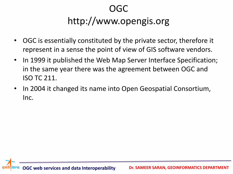
• OGC is essentially constituted by the private sector, therefore it represent in a sense the point of view of GIS software vendors.
• In 1999 it published the Web Map Server Interface Specification; in the same year there was the agreement between OGC and ISO TC 211.
• In 2004 it changed its name into Open Geospatial Consortium, Inc.
OGC http://www.opengis.org
OGC web services and data Interoperability
Dr. SAMEER SARAN, GEOINFORMATICS DEPARTMENT
Service
• A service is a specific functionality provided by an element through interfaces. If it makes use of a Web interface, then it’s a Web Service.
OGC web services and data Interoperability
Dr. SAMEER SARAN, GEOINFORMATICS DEPARTMENT
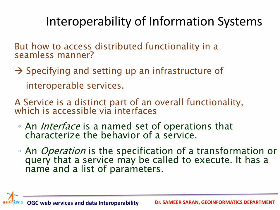
But how to access distributed functionality in a seamless manner?
Specifying and setting up an infrastructure of
interoperable services.
A Service is a distinct part of an overall functionality, which is accessible via interfaces
◦ An Interface is a named set of operations that characterize the behavior of a service.
◦ An Operation is the specification of a transformation or query that a service may be called to execute. It has a name and a list of parameters.
Interoperability of Information Systems
OGC web services and data Interoperability
Dr. SAMEER SARAN, GEOINFORMATICS DEPARTMENT
Communicating services only have to know each others interface specification
Service interoperability is achieved by standardizing interfaces
Interoperability of Information Systems
OGC web services and data Interoperability
Dr. SAMEER SARAN, GEOINFORMATICS DEPARTMENT
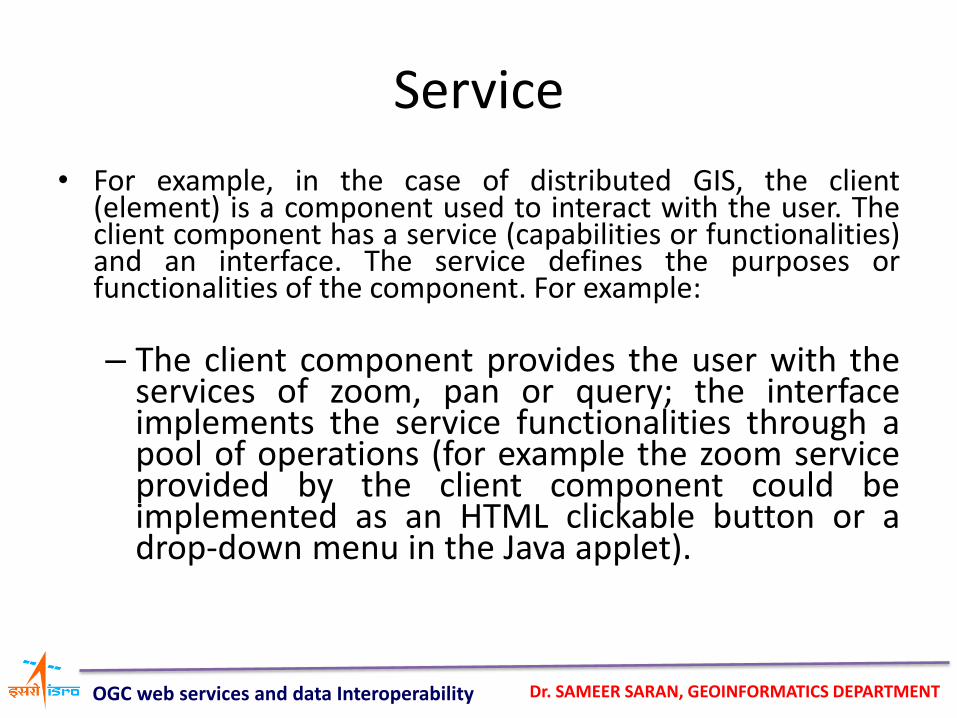
• For example, in the case of distributed GIS, the client (element) is a component used to interact with the user. The client component has a service (capabilities or functionalities) and an interface. The service defines the purposes or functionalities of the component. For example:
– The client component provides the user with the
services of zoom, pan or query; the interface implements the service functionalities through a pool of operations (for example the zoom service provided by the client component could be implemented as an HTML clickable button or a drop-down menu in the Java applet).
Service
OGC web services and data Interoperability
Dr. SAMEER SARAN, GEOINFORMATICS DEPARTMENT
Service chaining – Aggregate services
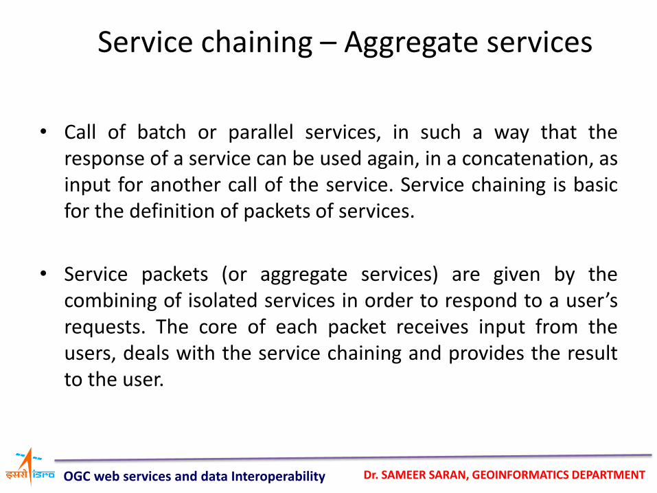
• Call of batch or parallel services, in such a way that the response of a service can be used again, in a concatenation, as input for another call of the service. Service chaining is basic for the definition of packets of services.
• Service packets (or aggregate services) are given by the combining of isolated services in order to respond to a user’s requests. The core of each packet receives input from the users, deals with the service chaining and provides the result to the user.
OGC web services and data Interoperability
Dr. SAMEER SARAN, GEOINFORMATICS DEPARTMENT
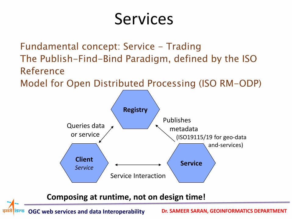
Fundamental concept: Service - Trading
The Publish-Find-Bind Paradigm, defined by the ISO
Reference
Model for Open Distributed Processing (ISO RM-ODP)
Service
Registry
Client Service
Publishes metadata (ISO19115/19 for geo-data and-services)
Queries data or service
Service Interaction
Composing at runtime, not on design time!
Services
OGC web services and data Interoperability
Dr. SAMEER SARAN, GEOINFORMATICS DEPARTMENT
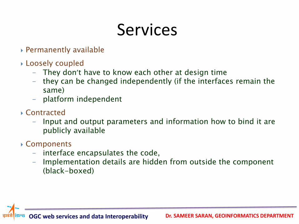
Permanently available
Loosely coupled - They don’t have to know each other at design time - they can be changed independently (if the interfaces remain the
same) - platform independent
Contracted - Input and output parameters and information how to bind it are
publicly available
Components - interface encapsulates the code, - Implementation details are hidden from outside the component
(black-boxed)
Services
OGC web services and data Interoperability
Dr. SAMEER SARAN, GEOINFORMATICS DEPARTMENT
Based on fundamental Internet-technologies
interconnected by making use of HTTP
communicate via XML-based interfaces
all web services are described using a standard XML notation called its service description
can by used within a heterogeneous environment ideal starting point for cross-platform
interoperability
Web-Services
OGC web services and data Interoperability
Dr. SAMEER SARAN, GEOINFORMATICS DEPARTMENT
What’s XML?
eXtensible Markup Language
• To encode information in a (text) document
To store and transfer information
• But: not only has data in it
- Also describes what the data means
- Structured in a way, humans can read it
OGC web services and data Interoperability
Dr. SAMEER SARAN, GEOINFORMATICS DEPARTMENT
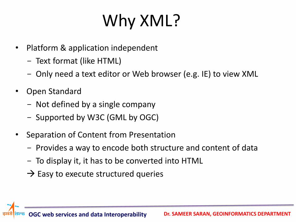
Why XML?
• Platform & application independent
- Text format (like HTML)
- Only need a text editor or Web browser (e.g. IE) to view XML
• Open Standard
- Not defined by a single company
- Supported by W3C (GML by OGC)
• Separation of Content from Presentation
- Provides a way to encode both structure and content of data
- To display it, it has to be converted into HTML
Easy to execute structured queries
OGC web services and data Interoperability
Dr. SAMEER SARAN, GEOINFORMATICS DEPARTMENT
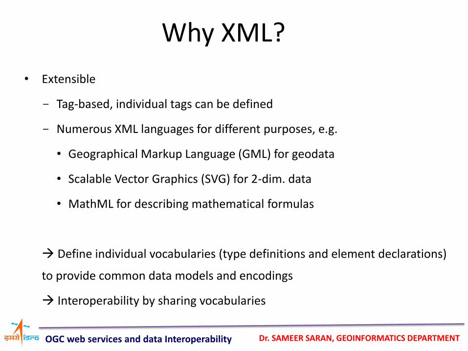
Why XML?
• Extensible
- Tag-based, individual tags can be defined
- Numerous XML languages for different purposes, e.g.
• Geographical Markup Language (GML) for geodata
• Scalable Vector Graphics (SVG) for 2-dim. data
• MathML for describing mathematical formulas
Define individual vocabularies (type definitions and element declarations)
to provide common data models and encodings
Interoperability by sharing vocabularies
OGC web services and data Interoperability
Dr. SAMEER SARAN, GEOINFORMATICS DEPARTMENT
Basic principles of the OGC Web Service (OWS)
• XML (eXtensible Markup Language) is used for the definition and the description of applications. The communication is based (in the majority of cases) on the HTTP protocol. Because of using XML, Web Services are platform- and OS-independent.
OGC web services and data Interoperability
Dr. SAMEER SARAN, GEOINFORMATICS DEPARTMENT
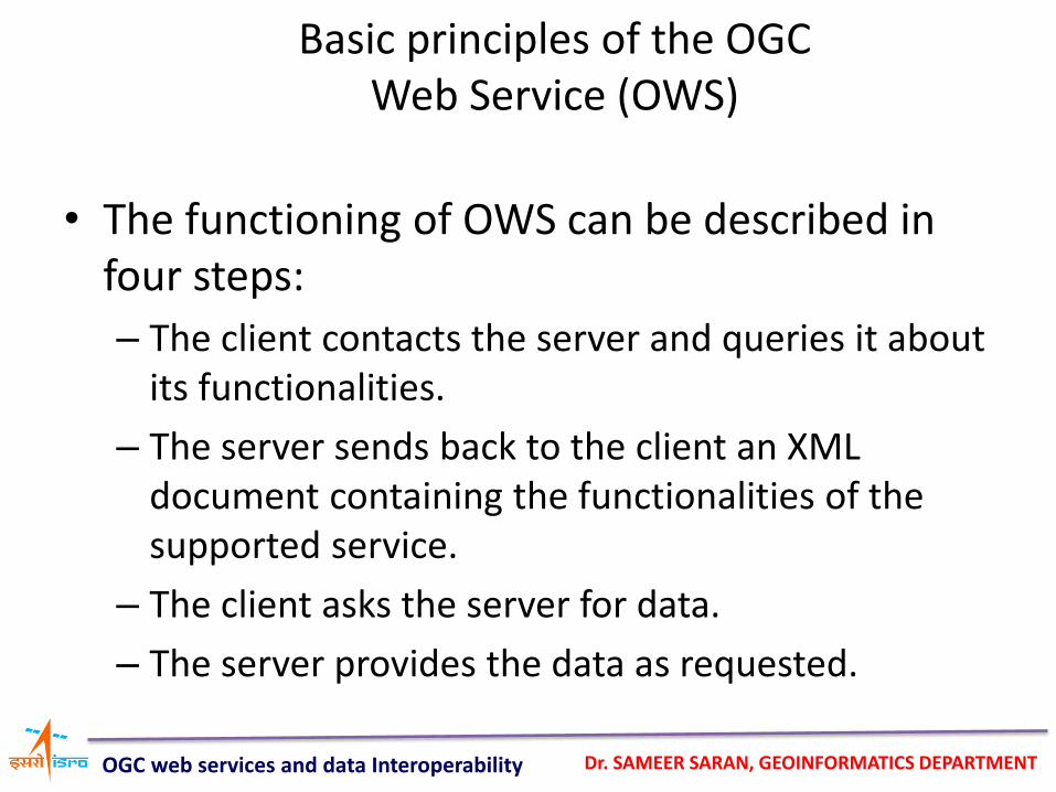
• The functioning of OWS can be described in four steps:
– The client contacts the server and queries it about its functionalities.
– The server sends back to the client an XML document containing the functionalities of the supported service.
– The client asks the server for data.
– The server provides the data as requested.
Basic principles of the OGC Web Service (OWS)
OGC web services and data Interoperability
Dr. SAMEER SARAN, GEOINFORMATICS DEPARTMENT
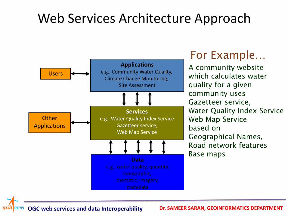
Web Services Architecture Approach
Applications e.g., Community Water Quality,
Climate Change Monitoring, Site Assessment
Services e.g., Water Quality Index Service
Gazetteer service, Web Map Service
Data e.g., water quality, quantity,
topographic, thematic, imagery,
metadata
Users
Other Applications
For Example… A community website which calculates water quality for a given community uses Gazetteer service, Water Quality Index Service Web Map Service based on Geographical Names, Road network features Base maps
OGC web services and data Interoperability
Dr. SAMEER SARAN, GEOINFORMATICS DEPARTMENT
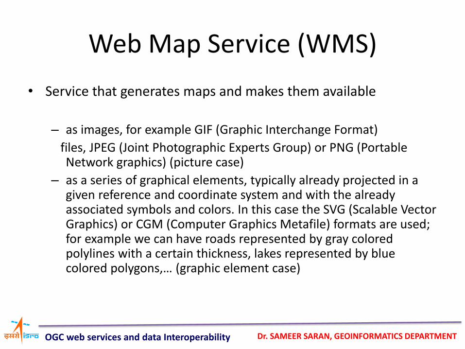
Web Map Service (WMS)
• Service that generates maps and makes them available
– as images, for example GIF (Graphic Interchange Format)
files, JPEG (Joint Photographic Experts Group) or PNG (Portable Network graphics) (picture case)
– as a series of graphical elements, typically already projected in a given reference and coordinate system and with the already associated symbols and colors. In this case the SVG (Scalable Vector Graphics) or CGM (Computer Graphics Metafile) formats are used; for example we can have roads represented by gray colored polylines with a certain thickness, lakes represented by blue colored polygons,… (graphic element case)
OGC web services and data Interoperability
Dr. SAMEER SARAN, GEOINFORMATICS DEPARTMENT
Basic WMS functions
• The service is composed by three basic functions, supported by three WMS interfaces:
– human- and computer-understandable description of the available data and the parameters related to the requests accepted by the service(GetCapabilities)
– supply of the requested data (GetMap)
– request of other information (map content and attributes of map features) (GetFeaturesInfo)
OGC web services and data Interoperability
Dr. SAMEER SARAN, GEOINFORMATICS DEPARTMENT
Basic WMS functions
• The first two operations are mandatory, the third is optional.
• The access to a WMS can be carried out using a standard browser, with the parameters set in the URL (GET method) or in a hidden way by using the POST method.
OGC web services and data Interoperability
Dr. SAMEER SARAN, GEOINFORMATICS DEPARTMENT
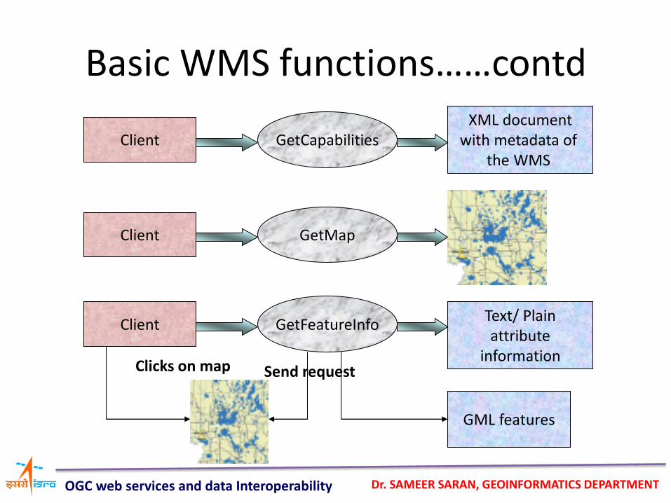
GetCapabilities Client
Client
Client
GetMap
GetFeatureInfo Text/ Plain attribute
information
GML features
Clicks on map Send request
XML document with metadata of
the WMS
Basic WMS functions……contd
OGC web services and data Interoperability
Dr. SAMEER SARAN, GEOINFORMATICS DEPARTMENT
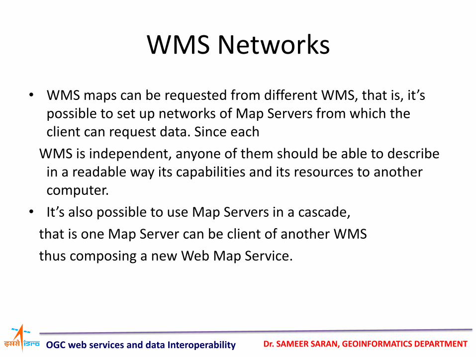
WMS Networks
• WMS maps can be requested from different WMS, that is, it’s possible to set up networks of Map Servers from which the client can request data. Since each
WMS is independent, anyone of them should be able to describe in a readable way its capabilities and its resources to another computer.
• It’s also possible to use Map Servers in a cascade,
that is one Map Server can be client of another WMS
thus composing a new Web Map Service.
OGC web services and data Interoperability
Dr. SAMEER SARAN, GEOINFORMATICS DEPARTMENT
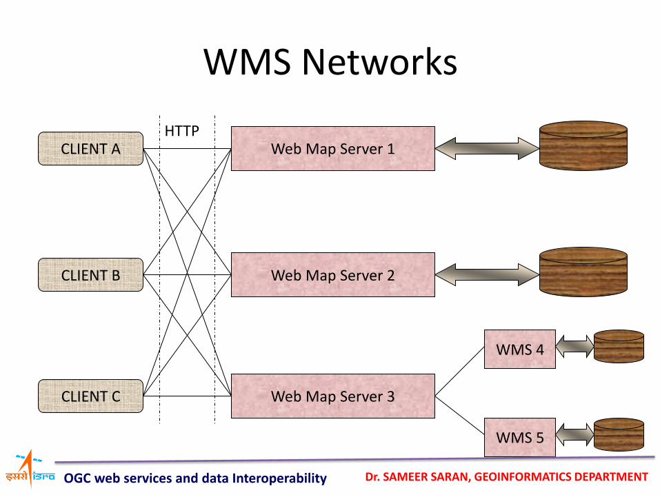
WMS Networks
CLIENT A
CLIENT B
CLIENT C
Web Map Server 1
Web Map Server 2
Web Map Server 3
WMS 4
WMS 5
HTTP
OGC web services and data Interoperability
Dr. SAMEER SARAN, GEOINFORMATICS DEPARTMENT
Remarks on WMS
• In the case of a “picture” WMS, the whole processing
is server-side executed; thus the client can have small
capabilities. Poor interaction. (thin client)
• In the case of a “graphic element” WMS, the server
processes geodata from the GIS database and
generates geographic objects with associated symbols
and colors. The client must be able to graphically manipulate the map elements, for example by means
of plug-ins or Java applets. Richer interaction, but the
client has to be more powerful than in the previous
case. (medium client)
OGC web services and data Interoperability
Dr. SAMEER SARAN, GEOINFORMATICS DEPARTMENT
Web Feature Service (WFS)
• While in a WMS a query returns merely a graphic result, in then case of WFS the result involves geographic entities or features.
• A feature is an object with a certain number of properties. Each property is characterized by the fields “name”, “type” and “value”. If at least one property is geometric, then we’re dealing with a geometric feature. The geometry is described by simple geometric elements such as points, curves, surfaces and solids.
• The main problem is that geographic data are generally
modeled in a heterogeneous way; therefore when transferring
them, the scheme used for the model must be transferred too.
• The data exchange mechanism provided by the OGC is GML (Geographic Markup Language).
OGC web services and data Interoperability
Dr. SAMEER SARAN, GEOINFORMATICS DEPARTMENT
Basic functions
• The service is composed by the following basic functions supported by WFS interfaces: – the readable description of the available features and
the parameters related to the requests accepted by the service (GetCapabilities)
– the description of the features (data scheme)
(DescribeFeatureType)
– the supply of “Feature”-type objects (instances) (GetFeature). It must also know which properties have to be provided and it must be able to make spatial and non-spatial selections.
OGC web services and data Interoperability
Dr. SAMEER SARAN, GEOINFORMATICS DEPARTMENT
Basic functions
– data manipulation (for example operations such as “create”, “update” e “delete”) (Transaction)
– the application of a lock-request to one or more instances during a transaction (LockFeature)
OGC web services and data Interoperability
Dr. SAMEER SARAN, GEOINFORMATICS DEPARTMENT
WFS classification
• The first three of the previously seen functionalities are mandatory, the last two are
optional. The WFS are described as:
– basic: they support the ‘GetCapabilities’, ‘DescribeFeatureType’ and ‘GetFeature’ operations. These are the ‘read-only’ mode WFS.
– transactional: they support also the ‘Transaction’ and ‘Lockfeature’ operations.
OGC web services and data Interoperability
Dr. SAMEER SARAN, GEOINFORMATICS DEPARTMENT
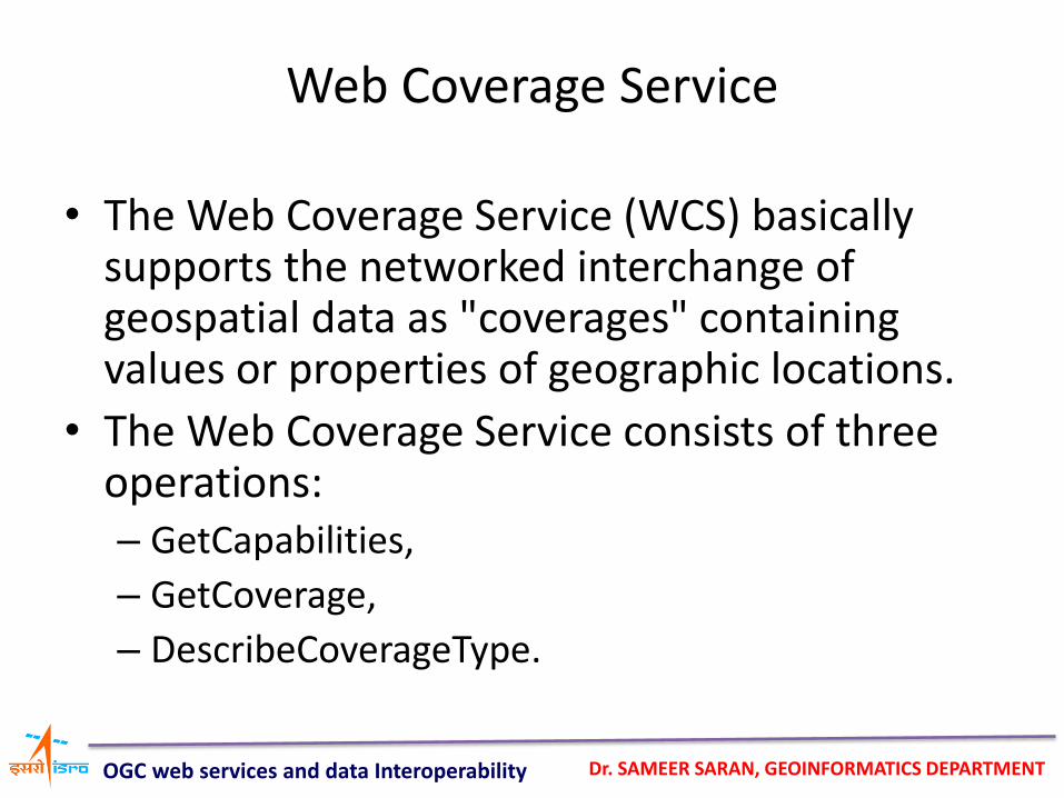
• The Web Coverage Service (WCS) basically supports the networked interchange of geospatial data as "coverages" containing values or properties of geographic locations.
• The Web Coverage Service consists of three operations: – GetCapabilities,
– GetCoverage,
– DescribeCoverageType.
Web Coverage Service
OGC web services and data Interoperability
Dr. SAMEER SARAN, GEOINFORMATICS DEPARTMENT
Web Coverage Service
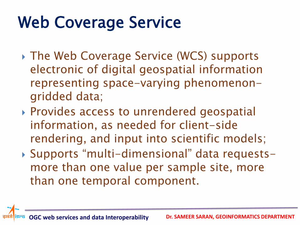
The Web Coverage Service (WCS) supports electronic of digital geospatial information representing space-varying phenomenon-gridded data;
Provides access to unrendered geospatial information, as needed for client-side rendering, and input into scientific models;
Supports “multi-dimensional” data requests-more than one value per sample site, more than one temporal component.
OGC web services and data Interoperability
Dr. SAMEER SARAN, GEOINFORMATICS DEPARTMENT
Definition of GML
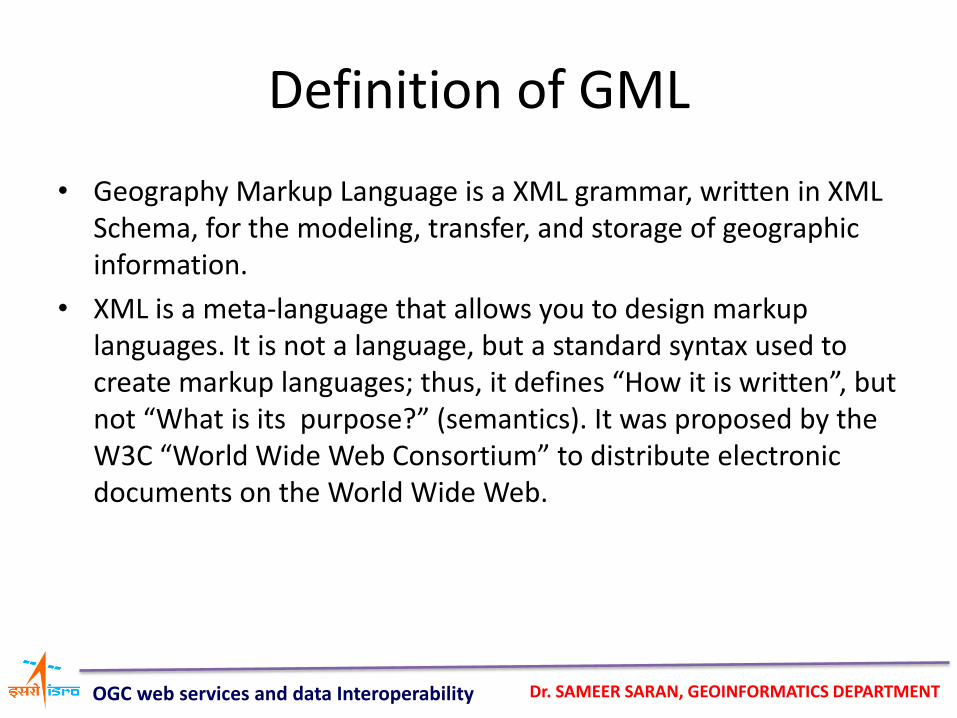
• Geography Markup Language is a XML grammar, written in XML Schema, for the modeling, transfer, and storage of geographic information.
• XML is a meta-language that allows you to design markup languages. It is not a language, but a standard syntax used to create markup languages; thus, it defines “How it is written”, but not “What is its purpose?” (semantics). It was proposed by the W3C “World Wide Web Consortium” to distribute electronic documents on the World Wide Web.
OGC web services and data Interoperability
Dr. SAMEER SARAN, GEOINFORMATICS DEPARTMENT
Background of GML
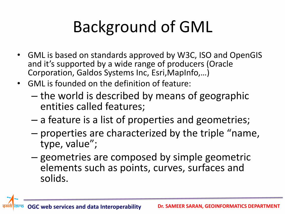
• GML is based on standards approved by W3C, ISO and OpenGIS and it’s supported by a wide range of producers (Oracle Corporation, Galdos Systems Inc, Esri,MapInfo,…)
• GML is founded on the definition of feature:
– the world is described by means of geographic entities called features;
– a feature is a list of properties and geometries; – properties are characterized by the triple “name,
type, value”; – geometries are composed by simple geometric
elements such as points, curves, surfaces and solids.
OGC web services and data Interoperability
Dr. SAMEER SARAN, GEOINFORMATICS DEPARTMENT
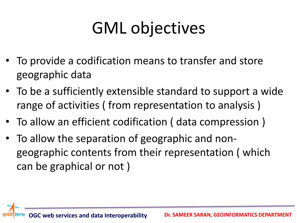
GML objectives
• To provide a codification means to transfer and store geographic data
• To be a sufficiently extensible standard to support a wide range of activities ( from representation to analysis )
• To allow an efficient codification ( data compression )
• To allow the separation of geographic and non-geographic contents from their representation ( which can be graphical or not )
OGC web services and data Interoperability
Dr. SAMEER SARAN, GEOINFORMATICS DEPARTMENT
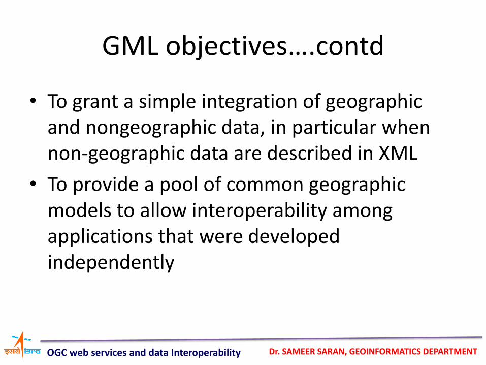
GML objectives….contd
• To grant a simple integration of geographic and nongeographic data, in particular when non-geographic data are described in XML
• To provide a pool of common geographic models to allow interoperability among applications that were developed independently
OGC web services and data Interoperability
Dr. SAMEER SARAN, GEOINFORMATICS DEPARTMENT
DTD and XSD
• The structure of an XML document can be defined by a DTD (Document Type Definition) or an XSD (XML Schema Definition)
• A document is VALID if it conforms to a DTD or an XSD
OGC web services and data Interoperability
Dr. SAMEER SARAN, GEOINFORMATICS DEPARTMENT
DTD and XSD
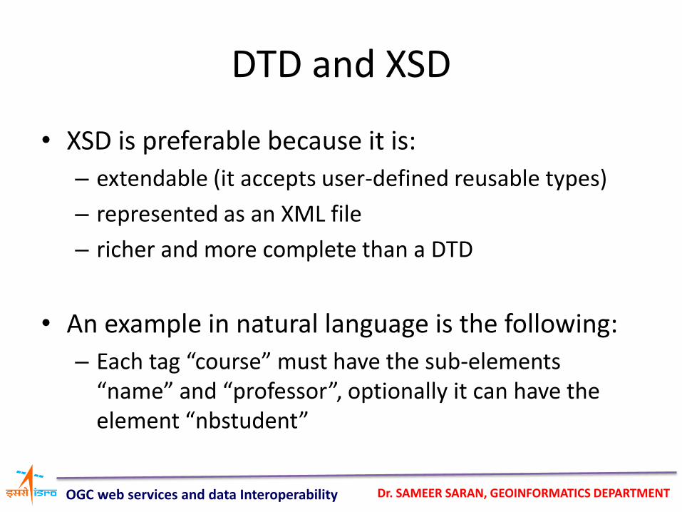
• XSD is preferable because it is:
– extendable (it accepts user-defined reusable types)
– represented as an XML file
– richer and more complete than a DTD
• An example in natural language is the following:
– Each tag “course” must have the sub-elements “name” and “professor”, optionally it can have the element “nbstudent”
OGC web services and data Interoperability
Dr. SAMEER SARAN, GEOINFORMATICS DEPARTMENT
Features of XML
• XML uses the “Webservices” technology to
allow information exchange
• It’s a component for the Web programming:
– modular and self-describing; it can be published
and invoked on the Web
– accessible through a standard interface
– it allows heterogeneous systems to work together
as in a single application
OGC web services and data Interoperability
Dr. SAMEER SARAN, GEOINFORMATICS DEPARTMENT
Why GML and not other standards?
• GML is based on XML ( and it inherits its qualities )
• it is possible to verify automatically the integrity of the data, by means of DTD or XSD
• it can be read and easily edited by a wide array of applications
• it can be easily integrated with non-geographic data
• it is “transformable” : it is possible to extend GML to adapt it to different needs
OGC web services and data Interoperability
Dr. SAMEER SARAN, GEOINFORMATICS DEPARTMENT
Application of GML
• The scheme is used to generate the .XSD files that are used to validate the GML documents used by the application
• GML can therefore be seen as a useful and totally expandable tool for the creation of applications.
• GML is a tool for the storage of contents and it does not include any kind of information related to the way these contents must be presented
• This allows to display data in any form, on condition that they were processed
• The main tool for the processing of XML documents is XSLT (“extensible stylesheet language”)
OGC web services and data Interoperability
Dr. SAMEER SARAN, GEOINFORMATICS DEPARTMENT
Conclusions
• Emerging standards, specifications and methods related to Web Services can provide a framework that supports data discovery, visualization and access activities
• A well designed information system can ensure extensibility and scalability
• Consider moving from the concept of Spatial Data Infrastructure to a concept of Service based data Infrastructure
OGC web services and data Interoperability
Dr. SAMEER SARAN, GEOINFORMATICS DEPARTMENT

Thank You